
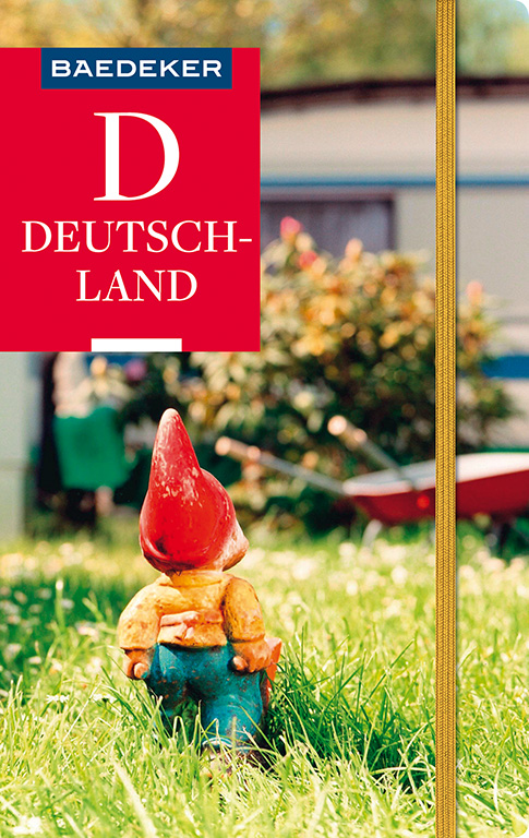
Alemania
Descripción

If ever any country takes pride in its romantic legacy, it must be Germany. Put on your hiking boots and headphones and enter the realm of Wagner, Brahms and Schumann, walking through the land of Rhine and Danube, of traditional half-timbered houses, mighty castles and ancient taverns serving excellent food and wine. Most popular hiking destinations are the Black Forest in the southwest, Alsace-Lorraine on the border with France, Bavaria in the south, and forested Thüringen and Harz in central Germany. But there is more to explore. Try an autumn clad Swabian Alb for instance, or spring on the northern island of Rügen.
Not surprisingly, Germany counts over 200 long distance hiking trails, all waymarked and well documented. Walk any European long distance trail, except E2 and E7, and you will pass through Germany! Even if not spectacular in terms of altitude, the varying landscapes can be truly wild and offer wonderful panorama's.
On the negative side, bear in mind that Germany is a modern country. Forests and farmland are exploited efficiently and can be pretty boring.
There are no real difficulties and you can go any time of the year, but higher up snow can make walking difficult in wintertime (and create good opportunities for cross country skiing). Finding food and lodging is never an issue, as mountain huts, hotels, inns and private rooms (Zimmer frei) abound, as do campsites.
Interesting is the current tendency in the country to "certify" trails if they comply to a list of standards. The effect is that some trails get much more attention than other trails. They get the predicate "Premiumweg" or get elected the most beautiful trail of the country. Of course, this does NOT mean that other trails are less interesting. The effect, however, is that while new trails are created, old trails gradually disappear.
Mapa

Senderos
- 66 Seen RegionalparkrouteGPX
- Aar HöhenwegGPX
- AhornwegGPX
- Ahr-Venn-WegGPX
- AhrtalwegGPX
- AlemannenwegGPX
- Alpen Weitwanderweg
- Alsenztal Wanderweg
- Alsterwanderweg GPX
- Altmühltal PanoramawegGPX
- ArminiuswegGPX
- AusoniuswegGPX
- Badener Weg
- BaierwegGPX
- Barbarossaweg GPX
- BöhmwegGPX
- Bückebergweg
- Bodensee RundwegGPX
- BonifatiuswegGPX
- BorgmannwegGPX
- Breisgauer WeinwegGPX
- Burgen WanderwegGPX
- BurgensteigGPX
- BurgenwegGPX
- Burgenweg Bergstrasse
- Burgenweg Kulturhistorische Wanderweg
- Burgundenweg
- BurgwaldpfadGPX
- ButjadingerwegGPX
- Christine Kochweg GPX
- Deutsche WeinstrasseGPX
- Dichter Musiker MalerwegGPX
- Diemelsteig
- Donau-ZollernalbwegGPX
- DonauberglandwegGPX
- DonausteigGPX
- DreiländerwegGPX
- E1GPX
- E10GPX
- E11GPX
- E3GPX
- E4GPX
- E5GPX
- E6GPX
- E8GPX
- E9GPX
- Eder HöhenwegGPX
- EggewegGPX
- EhmsenwegGPX
- EifelsteigGPX
- Elb Höhenweg
- Elbe-Weser-WanderwegGPX
- ElisabethpfadGPX
- EmmerwegGPX
- Ems-Hase-Hunte-ElsewegGPX
- Ems-HuntewegGPX
- Ems-JadewegGPX
- EmswegGPX
- Erft-Lieser-Mosel-Weg GPX
- ErzwegGPX
- EselswegGPX
- Europäische Wasserscheideweg
- FörsterwegGPX
- Feengrotten-KyffhäuserwegGPX
- FrankenwegGPX
- Frankenweg (Schwäbischer Albverein)GPX
- Frankenweg Odenwald
- Frankfurter GrünGürtel Rundwanderweg
- Frau HollepfadGPX
- Fränkischer GebirgswegGPX
- Fränkischer Rotwein WanderwegGPX
- FreudenthalwegGPX
- FuldahöhenwegGPX
- GäurandwegGPX
- Görlitz-Greiz
- GeestwegGPX
- Gernsbacher RundeGPX
- GlasschleifererwegGPX
- GoethewegGPX
- GoldsteigGPX
- GR128 - VlaanderenrouteGPX
- GR15 - AE - Ardennes-EifelGPX
- GR5GPX
- GR56 - Hautes Fagnes - EifelGPX
- Graf EngelbertwegGPX
- GunthersteigGPX
- Hainleite-WanderwegGPX
- Handelsweg
- HansawegGPX
- HanseatenwegGPX
- Hansjakobweg I (Kleiner Hansjakobweg)GPX
- Hansjakobweg II (Großer Hansjakobweg)GPX
- Harzer BaudensteigGPX
- Harzer HexenstiegGPX
- Hærvejen - OchsenwegGPX
- Höhenweg Fichtelgebirge
- Höhenweg Steinwaldweg
- HünenwegGPX
- Heilbronner HöhenwegGPX
- HerkuluswegGPX
- HermannshöhenGPX
- HermannswegGPX
- Hessenweg 1GPX
- Hessenweg 10GPX
- Hessenweg 11GPX
- Hessenweg 2GPX
- Hessenweg 3GPX
- Hessenweg 4GPX
- Hessenweg 5GPX
- Hessenweg 6GPX
- Hessenweg 7GPX
- Hessenweg 8GPX
- Hessenweg 9GPX
- Heuberg-AllgäuwegGPX
- HochrhönerGPX
- Hochrhein HöhenwegGPX
- HohenzollernwegGPX
- Hotzenwald QuerwegGPX
- Hunsrück Höhenweg
- Jacobspad LimburgGPX
- JadewegGPX
- Jagtsteig
- JakobswegGPX
- Jakobsweg Breisach - Cluny
- Jakobsweg im Elsass
- Jakobsweg Waldshut-Vézelay
- Josef-Schramm-Weg GPX
- Jubiläumsweg BodenseekreisGPX
- JurasteigGPX
- Kaiser OttowegGPX
- KaiserwegGPX
- Kammweg Erzgebirge-VogtlandGPX
- Kandel HöhenwegGPX
- Karl-Kaufmann-WegGPX
- KarolingerwegGPX
- KarstwanderwegGPX
- KölnpfadGPX
- König LudwigwegGPX
- KellerwaldsteigGPX
- Kelten ErlebniswegGPX
- KlötziestiegGPX
- Kocher Jagst Trail
- KrönungswegGPX
- KunigundenwegGPX
- KyffhäuserwegGPX
- Lahn Dill BerglandpfadGPX
- Lahn WanderwegGPX
- LahnhöhenwegGPX
- Lausitzer SchlangeGPX
- LönspfadGPX
- LöwenwegGPX
- Lech Höhenweg
- LechwegGPX
- LieserpfadGPX
- Limes WanderwegGPX
- LulluspfadGPX
- LutherwegGPX
- Maas-NiederrheinpadGPX
- Main-Donau-BodenseewegGPX
- Main-Neckar-RheinwegGPX
- Main-WerrawegGPX
- Maintal Höhenringweg
- MalerwegGPX
- Markgräfler Wiwegli
- MarskramerpadGPX
- MatthiaswegGPX
- MaximilianswegGPX
- MärchenlandwegGPX
- Mühlen WanderwegGPX
- MühlensteigGPX
- MühlenwegGPX
- Mühlenweg am WiehengebirgeGPX
- Müritz NationalparkwegGPX
- Medebacher BergwegGPX
- MittelwegGPX
- Mosel-OurwegGPX
- MoselhöhenwegGPX
- MoselsteigGPX
- Muldental WanderwegGPX
- MurgleiterGPX
- Nahe HöhenwegGPX
- NaturparkwegGPX
- Natursteig SiegGPX
- NibelungensteigGPX
- NibelungenwegGPX
- NiederrheinwegGPX
- NoaberpadGPX
- Nord-Ostsee-WanderwegGPX
- NordwaldkammwegGPX
- North Sea TrailGPX
- NurtschwegGPX
- Oberallgäuer RundwanderwegGPX
- Oberlausitzer BergwegGPX
- Ortenauer WeinpfadGPX
- Ostfriesland WanderwegGPX
- Ostsee-SaaletalsperrenGPX
- OstwegGPX
- Oude IJssel-Rijnpad
- PandurensteigGPX
- PankewegGPX
- Panoramaweg Baden-BadenGPX
- Panoramaweg SchwarzatalGPX
- Panoramaweg TaubertalGPX
- Pfälzer WeinsteigGPX
- Pickerweg
- PlackwegGPX
- PrälatenwegGPX
- Querweg Freiburg-BodenseeGPX
- Querweg Gengenbach-Alpirsbach
- Querweg Lahr-RottweilGPX
- Querweg Schwarzwald-Kaiserstuhl-RheinGPX
- Römerkanal WanderwegGPX
- Rügen Rundwanderweg
- Rügener Küsten Streckentour
- Remstal HöhenwegGPX
- RenchtalsteigGPX
- RennsteigGPX
- RennwegGPX
- Rhön HöhenwegGPX
- Rhein-Kyll-WegGPX
- Rhein-Rureifel-Weg GPX
- RheinauenwegGPX
- RheinburgenwegGPX
- Rheingauer Riesling Routen
- RheinhöhenwegGPX
- RheinsteigGPX
- Rhine-Meuse Trail
- Romantische StrasseGPX
- RothaarsteigGPX
- RothaarwegGPX
- Rotwein WanderwegGPX
- Ruhr HöhenwegGPX
- Rund um MagdeburgGPX
- RunenwegGPX
- Ruppiner Land-Rundwanderweg
- Saale-Orla-WegGPX
- Saar-HunsrücksteigGPX
- Saarland RundwanderwegGPX
- Santiago de Compostela Pilgrims WayGPX
- Sauerland WaldrouteGPX
- Sächsischer Wein WanderwegGPX
- SchinderhannespfadGPX
- Schlei-Eider-ElbeGPX
- SchluchtensteigGPX
- SchusterachtGPX
- Schwarzwald Nordrand WegGPX
- Schwarzwald-Jura-Bodensee-WegGPX
- Schwarzwald-Schwäbische Alb-Allgäu-WegGPX
- Schwäbisch Allgäuer WanderwegGPX
- Schwäbische Alb Hauptwanderweg 5
- Schwäbische Alb-Südrand-WegGPX
- Schwäbische-Alb-Nordrand-WegGPX
- Schwäbische-Alb-Oberschwaben-WegGPX
- Schweriner See Rundtour
- SeensteigGPX
- Selketalstieg
- Siegerland HöhenringGPX
- SigwardswegGPX
- Sintfeld HöhenwegGPX
- SironawegGPX
- SoonwaldsteigGPX
- SpessartwegGPX
- SponheimerwegGPX
- StörtebekerwegGPX
- Steigerwald PanoramawegGPX
- StormarnwegGPX
- Strandvogt-Törn
- Stromberg-Schwäbischer Waldweg
- StudentenpfadGPX
- TalsperrenwegGPX
- Talsperrenweg Zeulenroda
- Taunus HöhenwegGPX
- Taunus-Rhön-WegGPX
- TöddenwegGPX
- Templar Trail
- ThüringenwegGPX
- Traumpfad München-VenedigGPX
- UplandsteigGPX
- Urwaldsteig EderseeGPX
- Via AlpinaGPX
- Via BalticaGPX
- Via Claudia AugustaGPX
- Via Colonensis
- Vogelsberger Vulkansteig
- Vogtland PanoramawegGPX
- Vulkanring VogelsbergGPX
- VulkanwegGPX
- Wanderweg der Deutschen EinheitGPX
- Weg der FreundschaftGPX
- Weinwanderweg Rhein-NaheGPX
- Wendland RundwegGPX
- WeserberglandwegGPX
- WesergebirgswegGPX
- WesterwaldsteigGPX
- Westfalen WanderwegGPX
- Westpfalz WanderwegGPX
- WestwegGPX
- Westweg FichtelgebirgeGPX
- WildbahnGPX
- Wildnis TrailGPX
- WillibrorduswegGPX
- Winterberger HochtourGPX
- WittekindswegGPX
- WupperwegGPX
- ZeugenbergrundeGPX
- Zittau-WernigerodeGPX
- Zschopautal WanderwegGPX
- ZweitälersteigGPX
Regiones
- Alfelder Bergland
- Allgäuer Alpen
- Alps
- Ammergauer Alpen
- Arnsberger Wald
- Bayerische Voralpen
- Bayerischer Wald
- Berchtesgadener Alpen
- Bergisches land
- Bodensee
- Bregenzerwald
- Burgwald
- Chiemgauer Alpen
- Eifel
- Elbsandsteingebirge
- Elstergebirge
- Erzgebirge
- Estergebirge
- Fichtelgebirge
- Frankenwald
- Fränkische Alb
- Fränkische Schweiz
- Gladenbacher Bergland
- Haardt
- Habichtswald
- Harz
- Hautes Fagnes
- Hohenloher Ebene
- Hoher Meissner
- Hunsrück
- Kaiserstuhl
- Karwendel
- Kaufunger Wald
- Kellerwald
- Knüll
- Kyffhäuser
- Lausitzer Bergland
- Lüneburger Heide
- Leinebergland
- Lennegebirge
- Lipper Bergland
- Mangfallgebirge
- München
- Mecklenburgische Seenplatte
- Mosel
- Munsterland
- Naturpark Rheinland
- Nordpfälzer Bergland
- Oberpfälzer Wald
- Odenwald
- Ostfriesland
- Pfälzerwald
- Rügen
- Rhön
- Rheingau
- Rothaargebirge
- Ruhrgebiet
- Saalhauser Berge
- Sauerland
- Sächsische Schweiz
- Schwarzwald
- Schwäbische Alb
- Siebengebirge
- Solling
- Soonwald
- Spessart
- Spreewald
- Steigerwald
- Steinernes Meer
- Sylt
- Tannheimer Bergen
- Taunus
- Teutoburgerwald
- Thüringer Schiefergebirge
- Thüringer Wald
- Vogelsberg
- Vogtland
- Welzheimer Wald
- Wesergebirge
- Westerwald
- Wetterstein
- Wiehengebirge
- Zittauer Gebirge
Estados
Montañas


Enlaces
Datos
Informes
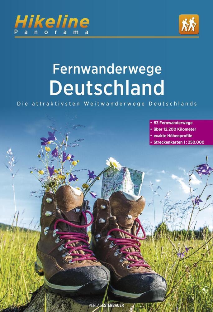
Guías y mapas
Hospedaje
Organizaciones
Operadores turísticos
GPS
Otro
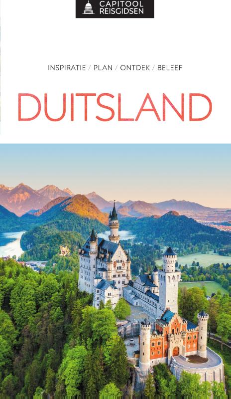
Libros

United Kingdom
- Württemberg Winelands Cycle Route (360km) Bikeline Map/Guide
- Württemberg Winelands Cycle Route, a 360-km long cycle trail from Rottenburg on the Neckar across the Tauber Valley to Niederstetten, presented by the Verlag Esterbauer in guide with maps at 1:50,000 showing the route and its variants. Extensive information is conveyed by symbols, indicating road surface, campsites and other accommodation,... Leer más

United Kingdom
- Ausseerland - Ennstal - Tauplitz Kompass 68
- Map No. 68, Ausseerland, from Kompass, printed on waterproof and tear-resistant synthetic paper in a series of walking maps of selected areas of Germany at 1:50,000, with hiking routes on a topographic base, various types of accommodation, recreational facilities, places of interest, etc. Kompass are Europe’s largest publishers of walking maps,... Leer más

United Kingdom
- Fischland - Darß - Kühlungsborn 50K Kümmerly + Frey Map No. 13
- Fischland - Darß - Kühlungsborn area along the Baltic coast of Germany at 1:50,000 from Kümmerly+Frey in a series GPS compatible, double-sided maps printed on durable, waterproof and tear-resistant plastic paper; contoured, with hiking and cycle routes, other recreational activities, etc.Maps in this series are at a scale of either 1:50,000 or... Leer más

United Kingdom
- Erzegebirge - Klingenthal - Altenberg - Fichtelberg - Oberwiesenthal - Seiffen 50K Kümmerly + Frey Map No. 48
- Erzegebirge - Klingenthal - Altenberg - Fichtelberg – Oberwiesenthal - Seiffen region of Germany at 1:50,000 from Kümmerly+Frey in a series GPS compatible, double-sided maps printed on durable, waterproof and tear-resistant plastic paper; contoured, with hiking and cycle routes, other recreational activities, etc.Maps in this series are at a... Leer más

United Kingdom
- Müritz National Park - Waren - Plauer See - Neusterlitz K+F Outdoor Map 16
- Müritz Lake - Neusterlitz area of eastern Germany’s lake district at 1:50,000 from Kümmerly+Frey in a series GPS compatible, double-sided maps printed on durable, waterproof and tear-resistant plastic paper; contoured, with hiking and cycle routes, other recreational activities, etc. An inset extends coverage to the Wolin Island in Poland.Maps... Leer más

United Kingdom
- Pfälzerwald (Palatinate Forest) 50K Kümmerly + Frey Map No. 24
- Pfälzerwald, the Palatinate Forest south of Kaiserslautern, at 1:35,000 from Kümmerly+Frey in a series GPS compatible, double-sided maps printed on durable, waterproof and tear-resistant plastic paper; contoured, with hiking and cycle routes, other recreational activities, etc. Maps in this series are at a scale of either 1:50,000 or 1:35,000.... Leer más

United Kingdom
- Turning to Nature in Germany
- Hiking, Nudism, and Conservation, 1900-1940 Leer más

United Kingdom
- Germany Munich Travel Guide 2023
- Your 7-Day Guide to the City's Best Attractions Leer más

Netherlands
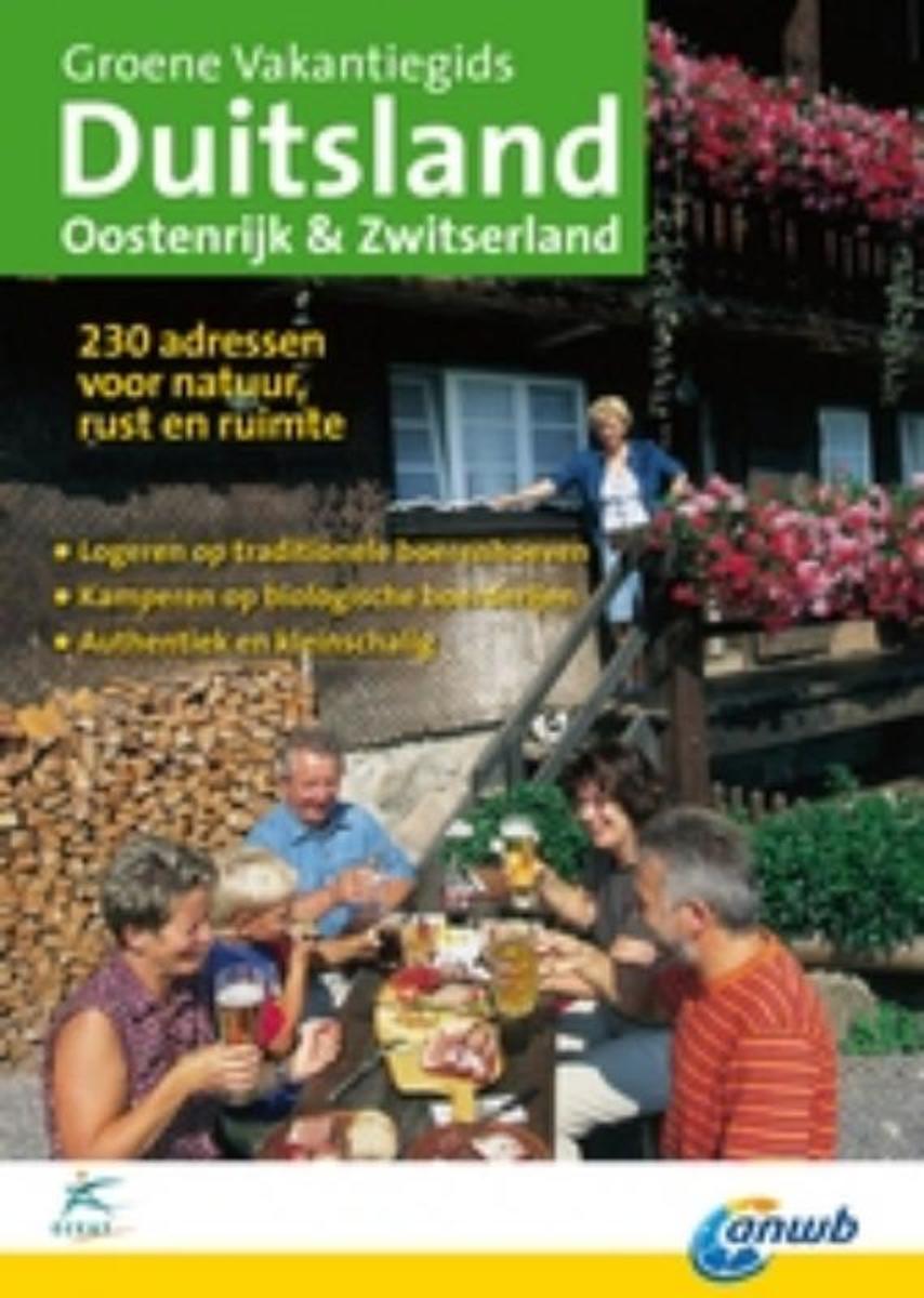
- Groene Vakantiegids Duitsland, Oostenrijk & Zwitserland
- De accommodaties bieden in totaal zo?n 60 kampeerterreinen (van hele kleintjes bij de biologische boer tot middelgrote ecocampings), 150 logementen (met ontbijt en vele met complete bioculinaire keuken), 170 ecologische vakantiehuizen en zo?n 50 groepsaccommodaties. Ze liggen in of bij nationale parken, beschermde cultuurlandschappen en... Leer más
- Also available from:
- Bol.com, Belgium
Belgium
- Groene Vakantiegids Duitsland, Oostenrijk & Zwitserland
- De accommodaties bieden in totaal zo?n 60 kampeerterreinen (van hele kleintjes bij de biologische boer tot middelgrote ecocampings), 150 logementen (met ontbijt en vele met complete bioculinaire keuken), 170 ecologische vakantiehuizen en zo?n 50 groepsaccommodaties. Ze liggen in of bij nationale parken, beschermde cultuurlandschappen en... Leer más
Netherlands
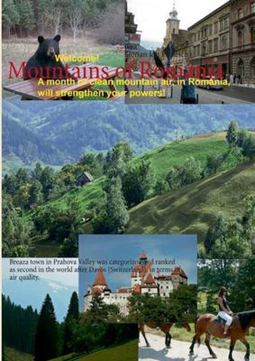
- Mountains of Romania
- Breaza town in Prahova Valley was categorized and ranked as second in the world after Davos (Switzerland), in terms of air quality. With a mild climate, similar, but with an air slightly more powerful, are classified and resorts, Predeal, Poiana Brasov, Tusnad, Borsec, Campina, Busteni, Azuga, Sinaia, etc.. The Carpathian Mountains are the... Leer más
- Also available from:
- Bol.com, Belgium
Belgium
- Mountains of Romania
- Breaza town in Prahova Valley was categorized and ranked as second in the world after Davos (Switzerland), in terms of air quality. With a mild climate, similar, but with an air slightly more powerful, are classified and resorts, Predeal, Poiana Brasov, Tusnad, Borsec, Campina, Busteni, Azuga, Sinaia, etc.. The Carpathian Mountains are the... Leer más
Netherlands
2023
Mapas

United Kingdom
- Bohemian Forest - Mühlviertel - Lipno Dam F&B WK262
- Bohemian Forest - Mühlviertel - Moldau/Vltava Reservoir area straddling the border of Austria, Czech Republic and Germany presented at 1:50,000 in a series of contoured and GPS compatible outdoor leisure map from Freytag & Berndt with hiking and cycling routes, mountain huts, campsites and youth hostels, local bus stops, plus other tourist... Leer más

United Kingdom
- Oberstaufen - Westallgäu - Adelegg - Lindenberg - Isny - Wangen K+F Outdoor Map 55
- Oberstaufen - Westallgäu - Adelegg - Lindenberg - Isny – Wangen area of the German Alps at 1:35,000 from Kümmerly+Frey in a series GPS compatible, double-sided maps printed on durable, waterproof and tear-resistant plastic paper; contoured, with hiking and cycle routes, other recreational activities, etc.Maps in this series are at a scale of... Leer más

United Kingdom
- Holland Cycling Region Bikeline Map-Guide
- A tour around the Ijsselmeer, plus 15 shorter day tours in the western part of the Netherlands, altogether offering over 1000km of cycle routes presented by the Verlag Esterbauer in guide with maps at 1:75,000 showing the routes and their variants. Extensive information is conveyed by symbols, indicating road surface, campsites and other... Leer más

United Kingdom
2022
- Teutoburg Forest K+F Outdoor Map 45
- Teutoburg Forest in northern Germany at 1:50,000 from Kümmerly+Frey in a series GPS compatible, double-sided maps printed on durable, waterproof and tear-resistant plastic paper; contoured, with hiking and cycle routes, other recreational activities, etc.Maps in this series are at a scale of either 1:50,000 or 1:35,000. Contour interval varies... Leer más

United Kingdom
- North Sea to the Baltic Cycle Route - Brunsbüttel to Kiel Bikeline Map-Guide
- A 314km cycle route along the Kiel Canal linking the North Sea with the Baltic, from Brunsbüttel to Kiel, presented by the Verlag Esterbauer in guide with maps at 1:50,000 showing the route and its variants. Extensive information is conveyed by symbols, indicating road surface, campsites and other accommodation, repair workshops, recreational... Leer más

United Kingdom
- Danube Cycle Route Part 1: Donaueschingen to Passau ENGLISH Ed.
- The Danube Cycle Route Part 1– its first 580-km long section across Germany from Donaueschingen to Passau on the Austrian border – in an English language edition of Verlag Esterbauers’ Bikeline series, with detailed mapping at 1:50,000 highlighting the route and its variants, street plans for main cities, and extensive information conveyed by... Leer más

United Kingdom
- Stuttgart - Heilbronn - Göppingen - Pforzheim - Reutlingen - Tübingen ADAC Street Atlas
- Stuttgart - Heilbronn Region Street Atlas in a series of detailed atlases covering the whole of Germany at 1:20,000 with UTM coordinates for GPS navigation, postal codes and public transport, published by ADAC, the country’s largest motoring organization. The plans name all the individual streets and indicate all the main landmarks and public... Leer más

United Kingdom
- EuroVelo 9 Cycle Route: Brno - Vienna - Maribor (550km) Bikeline Map/Guide
- A 550km section of the EuroVelo 9 from Brno in the Czech Republic, across eastern Austria including Vienna, to Maribor in north-eastern Slovenia presented by the Verlag Esterbauer in guide with maps at 1:75,000 showing the route and its variants. Extensive information is conveyed by symbols, indicating road surface, campsites and other... Leer más

United Kingdom
- Südliches Märkisches Oderland
- Südliches Märkisches Oderland (No. 746), a detailed, GPS compatible map at 1:50,000 from Kompass with local and long-distance footpaths, cycling routes, accommodation, etc, printed on durable, waterproof and tear-resistant synthetic paper.KOMPASS HIKING & RECREATIONAL MAPS:This title is part of an extensive series covering Austria, much of... Leer más

United Kingdom
- Rhine-Ruhr - Bochum - Dortmund - Duisburg - Essen - Münster ADAC Street Atlas
- Rhein-Ruhr Region Street Atlas in a series of detailed atlases covering the whole of Germany at 1:20,000 with UTM coordinates for GPS navigation, postal codes and public transport, published by ADAC, the country’s largest motoring organization. The plans name all the individual streets and indicate all the main landmarks and public buildings.... Leer más
United Kingdom
- Baltic Coast Cycle Route Part 3: Usedom - Gdansk (480km) Bikeline Map/Guide
- The Baltic Coast Cycle Route Part 3 – a 480-km long section from the island of Usedom and the Polish/German along the coast of Polish Pomerania to Gdansk presented by Verlag Esterbauer in a German language guide with maps at 1:75,000 showing the route and its variants. Extensive information is conveyed by symbols, indicating road surface,... Leer más

United Kingdom
- St. Blasien - Todtmoos - Hotzenwald - NP South Black Forest Kompass 898
- St. Blasien - Todtmoos - Hotzenwald in the southern Black Forest on a detailed, GPS compatible map at 1:25,000 from Kompass with local and long-distance footpaths, cycling routes, accommodation, etc, printed on durable, waterproof and tear-resistant synthetic paper.KOMPASS HIKING & RECREATIONAL MAPS: this title is part of an extensive series... Leer más

United Kingdom
- North Sea Coast Cycle Route 1 - Rotterdam to Leer Bikeline Map-Guide
- The North Sea Cycle Route Part 1 – a 455-km long section from Rotterdam to Lear presented by Verlag Esterbauer in a guide with maps at 1:75,000 showing the route and its variants. Extensive information is conveyed by symbols, indicating road surface, campsites and other accommodation, repair workshops, recreational facilities, places of... Leer más

United Kingdom
- Saar Cycle Route - French Canals to Trier Bikeline Map-Guide
- The Saar Cycle Route: a 191-km long cycle route from Sarrebourg in France along the Sarre/Saar river to the old Roman town of Trier on the Moselle, presented by the Verlag Esterbauer in a guide with maps at 1:50,000 showing the route and its variants. Extensive information is conveyed by symbols, indicating road surface, campsites and other... Leer más

United Kingdom
- Canal du Midi Cycle Route Bikeline Map-Guide
- Canal du Midi Cycle Route, a 160km long cycle trail from Toulouse, through Carcassonne and Béziers, to Sète presented by the Verlag Esterbauer in a guide with maps at 1:50,000 showing the route and its variants. Also covered in a route along the Canal de la Robine to include Narbonne and the spur southwards to Port-la-Nouvelle. Extensive... Leer más