
Nordrhein-Westfalen
Descripción
Senderos en estado
- Ahr-Venn-WegGPX
- AhrtalwegGPX
- Bückebergweg
- BurgensteigGPX
- Christine Kochweg GPX
- E1GPX
- E11GPX
- E8GPX
- Eder HöhenwegGPX
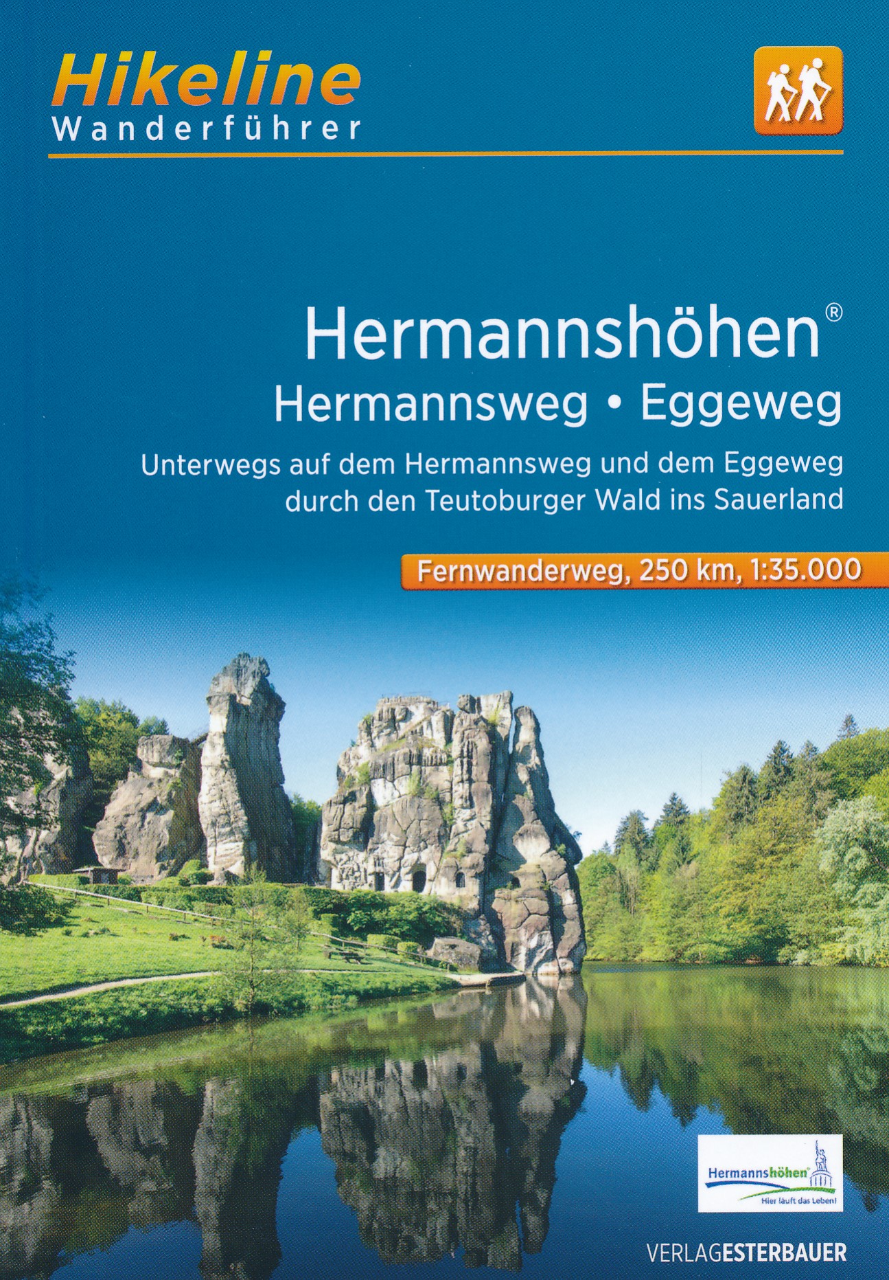
- EggewegGPX
- EhmsenwegGPX
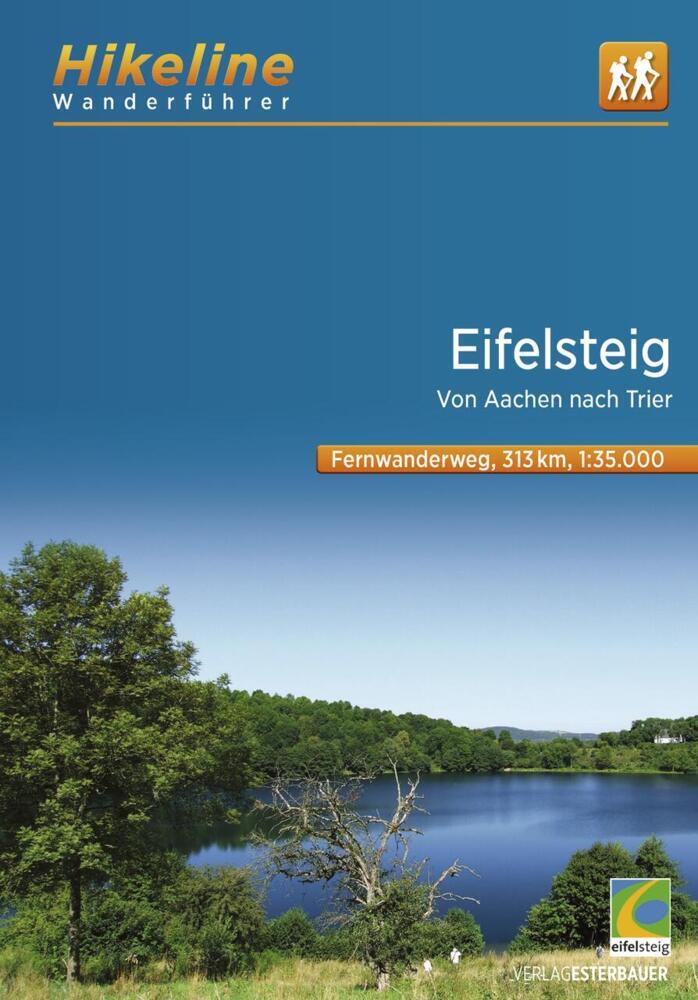
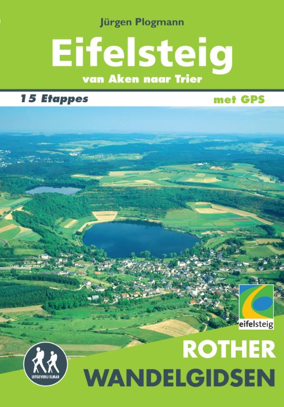
- EifelsteigGPX
- ElisabethpfadGPX
- EmmerwegGPX
- Ems-Hase-Hunte-ElsewegGPX
- EmswegGPX
- Erft-Lieser-Mosel-Weg GPX
- GR15 - AE - Ardennes-EifelGPX
- Graf EngelbertwegGPX
- HansawegGPX
- HermannshöhenGPX
- HermannswegGPX
- Hessenweg 2GPX
- Hessenweg 4GPX
- Hessenweg 6GPX
- Jacobspad LimburgGPX
- Josef-Schramm-Weg GPX
- Kaiser OttowegGPX
- Karl-Kaufmann-WegGPX
- KarolingerwegGPX
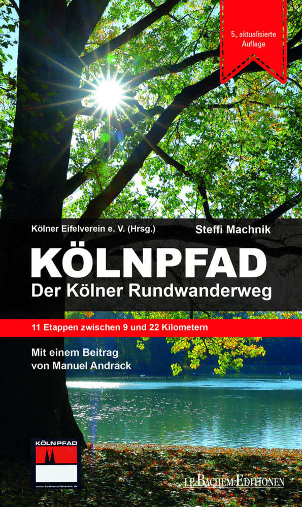
- KölnpfadGPX
- KrönungswegGPX
- LahnhöhenwegGPX
- LönspfadGPX
- Maas-NiederrheinpadGPX
- MarskramerpadGPX
- MatthiaswegGPX
- MühlensteigGPX
- MühlenwegGPX
- Medebacher BergwegGPX
- MoselhöhenwegGPX
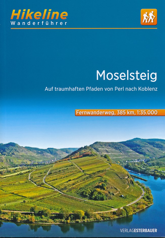
- MoselsteigGPX
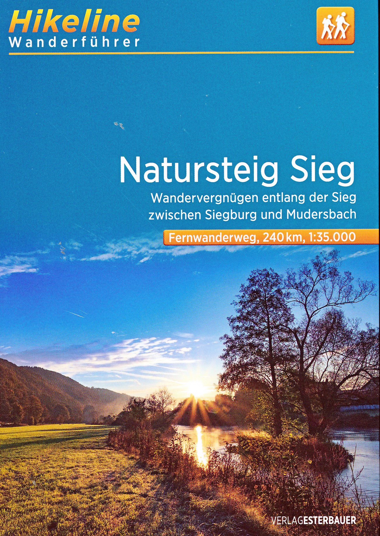
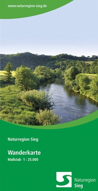
- Natursteig SiegGPX
- NiederrheinwegGPX
- NoaberpadGPX
- Oude IJssel-Rijnpad
- PlackwegGPX
- Römerkanal WanderwegGPX
- RennwegGPX
- Rhein-Kyll-WegGPX
- Rhein-Rureifel-Weg GPX
- RheinhöhenwegGPX
- RheinsteigGPX
- RothaarsteigGPX
- RothaarwegGPX
- Ruhr HöhenwegGPX
- RunenwegGPX
- Sauerland WaldrouteGPX
- Siegerland HöhenringGPX
- Sintfeld HöhenwegGPX
- TalsperrenwegGPX
- TöddenwegGPX
- VulkanwegGPX
- Wanderweg der Deutschen EinheitGPX
- WeserberglandwegGPX
- WesergebirgswegGPX
- Westfalen WanderwegGPX
- Wildnis TrailGPX
- WillibrorduswegGPX
- Winterberger HochtourGPX
- WupperwegGPX
Enlaces
Datos
Informes
Guías y mapas
Hospedaje
Organizaciones
Operadores turísticos
GPS
Otro
Libros

Stanfords
United Kingdom
United Kingdom
- Münsterland 3-Map Set Kompass 849
- The Münsterland region of North Rhine-Westphalia on a set of three detailed, GPS compatible maps at 1:50,000 from Kompass with local and long-distance footpaths, cycling routes, accommodation, etc. Coverage extends north to Osnabrück and Enschede in the Netherlands, and south to Hamm and Reckinghausen.KOMPASS HIKING & RECREATIONAL MAPS:This... Leer más
- Also available from:
- De Zwerver, Netherlands

De Zwerver
Netherlands
2022
Netherlands
2022

- Also available from:
- De Zwerver, Netherlands
De Zwerver
Netherlands
2021
Netherlands
2021
De Zwerver
Netherlands
2021
Netherlands
2021
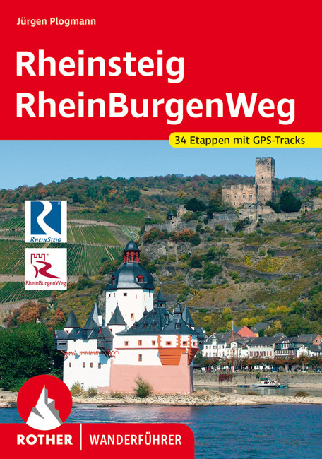
- Wandelgids Rheinsteig mit Rheinburgenweg und Rheinhöhenwegen | Rother Bergverlag
- Der romantische Mittelrhein zwischen Mainz/Wiesbaden und Bonn ist eine der spektakulärsten Landschaften Deutschlands und UNESCO-Welterbe. Neben dem Erleben der Natur trifft der Wanderer am Rhein auf viel Kultur, sehenswerte mittelalterliche Städte und die weltweit größte Burgendichte. In diesem Rother Wanderführer werden die wichtigsten... Leer más
Bol.com
Netherlands
2018
Netherlands
2018
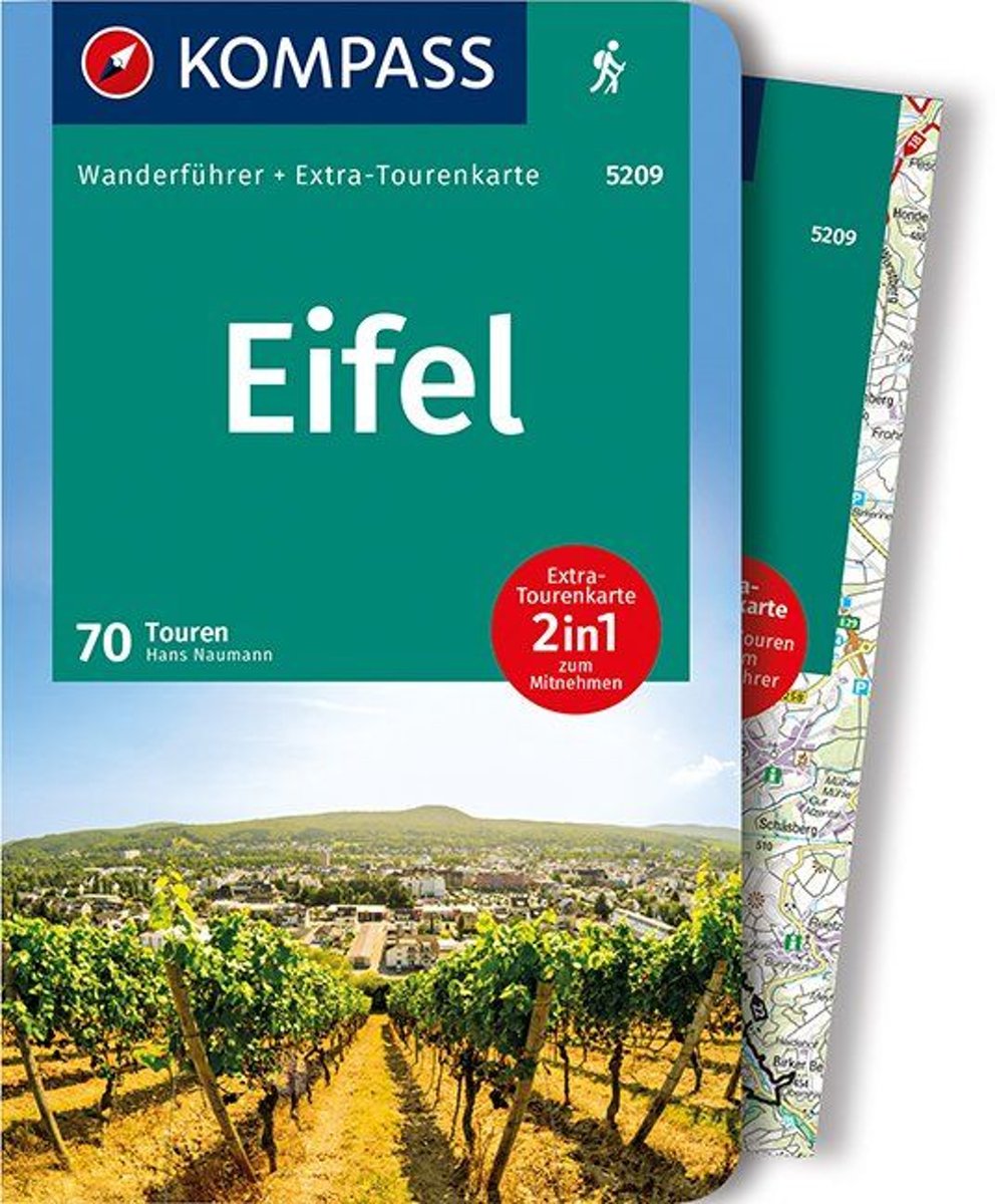
- WF5209 Eifel Kompass
- De Kompass wandelgids + kaart geeft een overzicht van alle wandelroutes in het gebied met nauwkeurige routeaanwijzingen en hoogteaanduidingen, De extra grote kaart, schaal 1:35 000, is ideaal om van te voren uw route uit te stippelen en om onderweg te gebruiken • naast de bekende bestemmingen, worden ook de minder bekende vermeld • openbaar... Leer más
- Also available from:
- Bol.com, Belgium
Bol.com
Belgium
2018
Belgium
2018
- WF5209 Eifel Kompass
- De Kompass wandelgids + kaart geeft een overzicht van alle wandelroutes in het gebied met nauwkeurige routeaanwijzingen en hoogteaanduidingen, De extra grote kaart, schaal 1:35 000, is ideaal om van te voren uw route uit te stippelen en om onderweg te gebruiken • naast de bekende bestemmingen, worden ook de minder bekende vermeld • openbaar... Leer más
De Zwerver
Netherlands
2021
Netherlands
2021
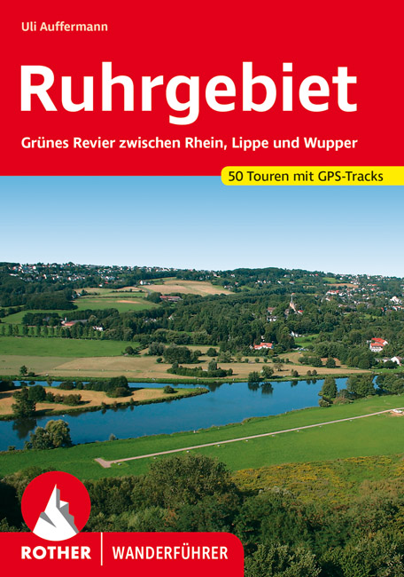
- Wandelgids Ruhrgebiet - Ruhrgebied | Rother Bergverlag
- Uitstekende wandelgids met een groot aantal dagtochten in dal en hooggebergte. Met praktische informatie en beperkt kaartmateriaal! Wandelingen in verschillende zwaarte weergegeven in rood/blauw/zwart. 160 Seiten mit 79 Farbabbildungen 50 Höhenprofile, 50 Wanderkärtchen im Maßstab 1:25.000, 1:50.000 und 1:100.000, zwei Übersichtskarten im... Leer más
Bol.com
Netherlands
2008
Netherlands
2008
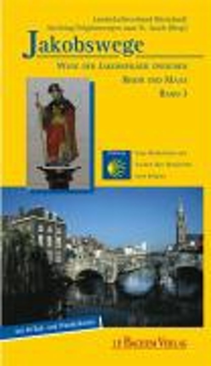
- Jakobswege 03. Wege Der Jakobspilger Zwischen Rhein Und Maas
- Der neue Band 3 der Jakobswege zu Fu und per Rad ist eine deutsch-niederl ndische Produktion. Der "Rhein-Maas-Weg" folgt den Spuren der Jakobspilger vom niederl ndischen Millingen am Rhein n rdlich Kleve quer durch die niederrheinische Landschaft mit Stationen in Kranenburg, Goch, Kevelaer und Straelen und f hrt weiter entlang der Maas ber... Leer más
- Also available from:
- Bol.com, Belgium
Bol.com
Belgium
2008
Belgium
2008
- Jakobswege 03. Wege Der Jakobspilger Zwischen Rhein Und Maas
- Der neue Band 3 der Jakobswege zu Fu und per Rad ist eine deutsch-niederl ndische Produktion. Der "Rhein-Maas-Weg" folgt den Spuren der Jakobspilger vom niederl ndischen Millingen am Rhein n rdlich Kleve quer durch die niederrheinische Landschaft mit Stationen in Kranenburg, Goch, Kevelaer und Straelen und f hrt weiter entlang der Maas ber... Leer más
De Zwerver
Netherlands
2021
Netherlands
2021
De Zwerver
Netherlands
2018
Netherlands
2018
- Wandelgids Hikeline Moselsteig | Esterbauer
- Auf traumhaften Pfaden von Perl nach Koblenz, 365 km. 1. Auflage. Leer más
Bol.com
Netherlands
Netherlands
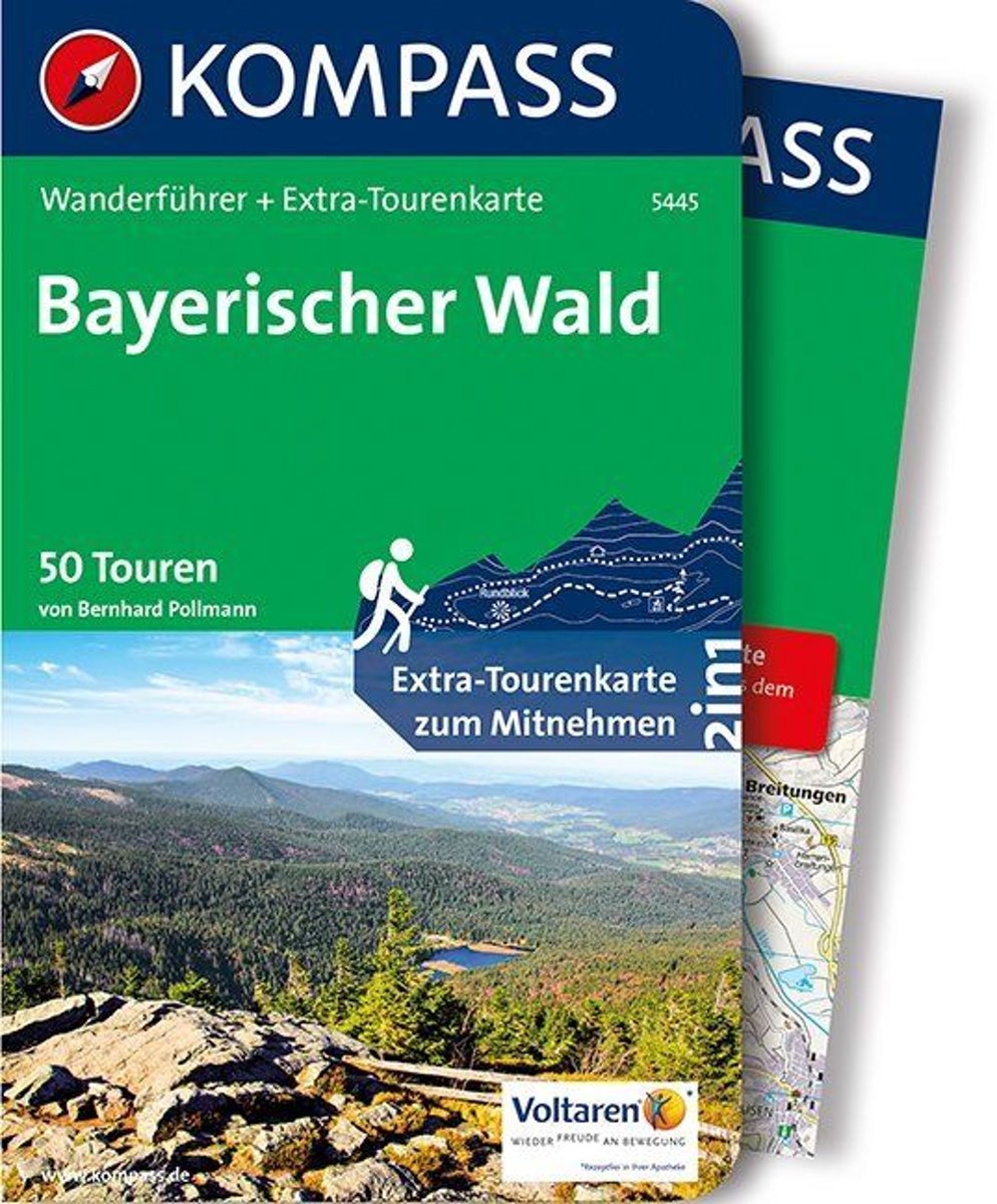
- WF5445 Bayerischer Wald Kompass
- De Kompass wandelgids + kaart geeft een overzicht van alle wandelroutes in het gebied met nauwkeurige routeaanwijzingen en hoogteaanduidingen, De extra grote kaart, schaal 1:35 000, is ideaal om van te voren uw route uit te stippelen en om onderweg te gebruiken • naast de bekende bestemmingen, worden ook de minder bekende vermeld • openbaar... Leer más
- Also available from:
- Bol.com, Belgium
Bol.com
Belgium
Belgium
- WF5445 Bayerischer Wald Kompass
- De Kompass wandelgids + kaart geeft een overzicht van alle wandelroutes in het gebied met nauwkeurige routeaanwijzingen en hoogteaanduidingen, De extra grote kaart, schaal 1:35 000, is ideaal om van te voren uw route uit te stippelen en om onderweg te gebruiken • naast de bekende bestemmingen, worden ook de minder bekende vermeld • openbaar... Leer más
De Zwerver
Netherlands
2021
Netherlands
2021
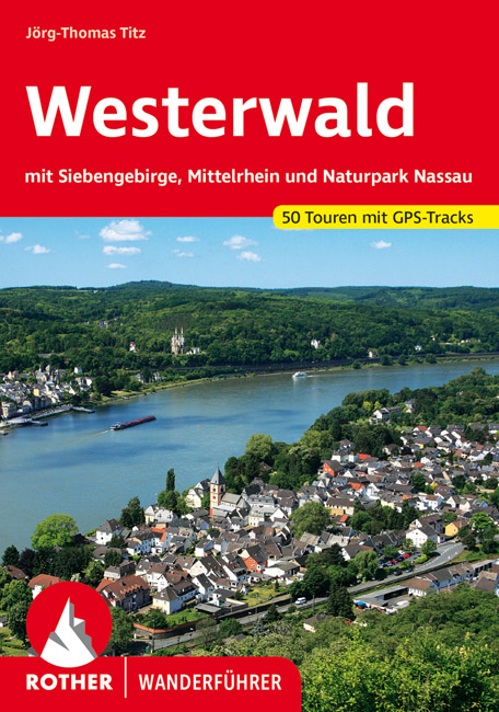
- Wandelgids 228 Westerwald | Rother Bergverlag
- Uitstekende wandelgids met een groot aantal dagtochten in dal en hooggebergte. Met praktische informatie en beperkt kaartmateriaal! Wandelingen in verschillende zwaarte weergegeven in rood/blauw/zwart. Der Westerwald ist eine uralte Vulkanlandschaft, die vor 25-30 Millionen Jahren geschaffen wurde – Basalt und Schiefer prägen vielerorts die... Leer más
Mapas

Stanfords
United Kingdom
2012
United Kingdom
2012
- Eifelsteig Long-distance Trail: Aachen to Trier
- Eifelsteig, a long-distance hiking route from Trier to Aachen across some of the Eifel’s most picturesque towns: Wittlich, Daun, Gerolstein, and Monschau, on a GPS compatible, topographic recreational map at 1:50,000 from the survey organization of Rhineland-Palatinate. The course of the route is presented on three overlapping panels and is... Leer más

Stanfords
United Kingdom
United Kingdom
- Märkischer Kreis - Ebbegebirge
- Märkischer Kreis - Ebbegebirge (No. 749), a detailed, GPS compatible map at 1:50,000 from Kompass with local and long-distance footpaths, cycling routes, accommodation, etc, printed on durable, waterproof and tear-resistant synthetic paper.KOMPASS HIKING & RECREATIONAL MAPS:This title is part of an extensive series covering Austria, much of... Leer más

Stanfords
United Kingdom
United Kingdom
- Rheinsteig long-distance Trail Kompass 2503
- The Rheinsteig, a 306km long-distance hiking trail from Bonn to Wiesbaden along the right bank of the Rhine, including a 65km stretch of the Middle Rhine Valley, a UNESCO World Heritage area and home to many castles, historic towns and vineyards which have inspiration for many writers, artists and composers. The route is presented on 16 panels,... Leer más

Stanfords
United Kingdom
United Kingdom
- Colline di Forlí
- Map No. 127, Colline di Forlí, in a series of GPS compatible hiking maps at 1:50,000 from the Istituto Geografico Adriatico, covering parts of central Italy: eastern Tuscany, with northern Umbria and the Marches, plus the south-eastern of part of Emilia-Romagna.The maps have contours at 50m intervals with additional shading and numerous spot... Leer más

Stanfords
United Kingdom
United Kingdom
- Bergisches Land - Cologne - Dusseldorf Cycling Map
- Bergisches Land - Cologne – Dusseldorf on a waterproof, tear-resistant, GPS compatible cycling map at 1:75,000 from the ADFC (Allgemeiner Deutscher Fahrrad-Club - the official German cycling federation), in a series of maps with extensive overprint for long-distance and local cycling routes. GPS waypoints, route profiles, details of online... Leer más
Stanfords
United Kingdom
United Kingdom
- Alta Valle del Metauro: Valle del Candigliano, Monte Nerone, Monte Catria
- Map No. 122, Alta Valle del Metauro: Valle del Candigliano, Monte Nerone, Monte Catria, in a series of GPS compatible hiking maps at 1:50,000 from the Istituto Geografico Adriatico, covering parts of central Italy: eastern Tuscany, with northern Umbria and the Marches, plus the south-eastern of part of Emilia-Romagna.The maps have contours at... Leer más

Stanfords
United Kingdom
United Kingdom
- Aachen - Dreilandereck Cycling Map
- Aachen – Dreilandereck area on a waterproof, tear-resistant, GPS compatible cycling map at 1:75,000 from the ADFC (Allgemeiner Deutscher Fahrrad-Club - the official German cycling federation), in a series of maps with extensive overprint for long-distance and local cycling routes. GPS waypoints, route profiles, details of online links for... Leer más

Stanfords
United Kingdom
United Kingdom
- Monti Sibillini National Park Edizioni Multigraphic 60/61
- Monti Sibillini National Park at 1:25,000 on a double-sided contoured map from Edizioni Multigraphic highlighting local waymarked hiking routes including the GAS – Grand Anello dei Sibilini, the circular tour around the mountains.The map has contours at 25m intervals with colouring for woodlands. Waymarked routes are highlighted and annotated... Leer más

Stanfords
United Kingdom
United Kingdom
- Monte Fumaiolo - Monte Comero 18
- Map No. 18, Monte Fumaiolo - Alto Tevere, in series of contoured, GPS compatible hiking maps at 1:25,000 from the Istituto Geografico Adriatico, covering mainly the spine of the Apennines along the borders of Tuscany, Emilia-Romagna, Umbria and the Marches.Map in this series have contours at 25m intervals with additional shading and numerous... Leer más

Stanfords
United Kingdom
United Kingdom
- Northern Westerwald: Betzdorf - Wissen - Kirchen on the Sieg
- Betzdorf - Wissen - Kirchen on the Sieg area in the northern part of the Westerwald hills along the border of Rhineland-Palatinate and North Rhine-Westphalia in a series of contoured and GPS-compatible maps at 1:25,000 with cartography of the German topographic survey and extensive overprint highlighting waymarked hiking trails and/or cycling... Leer más

Stanfords
United Kingdom
United Kingdom
- Hohe Mark Naturpark - Westmunsterland 2-Map Set Kompass 753
- Hohe Mark Regional Park in a detailed, GPS compatible map at 1:50,000 from Kompass with local and long-distance footpaths, cycling routes, accommodation, etc.KOMPASS HIKING & RECREATIONAL MAPS:This title is part of an extensive series covering Austria, much of Germany and the Slovenian Alps. Kompass are Europe’s largest publishers of hiking... Leer más

Stanfords
United Kingdom
United Kingdom
- Transrhodopi - Long distance hiking and biking trail From Trigrad to Ivaylovgrad
- Western Rhodope Mountains at 1:100,000 on a contoured GPS compatible map from Domino extending from just west of the Pirin National Park to Asenovgrad in the north-east. The map is double-sided with a good overlap between the sides. Topography is shown by contours at 50m intervals with relief shading and spot heights, plus colouring for... Leer más

Stanfords
United Kingdom
United Kingdom
- Naturpark Mass - Schwalm - Nette 50K Kümmerly + Frey Map No. 62
- Naturpark Mass - Schwalm – Nette in Germany at 1:50,000 from Kümmerly+Frey in a series GPS compatible, double-sided maps printed on durable, waterproof and tear-resistant plastic paper; contoured, with hiking and cycle routes, other recreational activities, etc.Maps in this series are at a scale of either 1:50,000 or 1:35,000. Contour interval... Leer más
Stanfords
United Kingdom
United Kingdom
- Alpe della Luna 17
- Map No. 16, Monte Carpegna - Sasso di Simone, in series of contoured, GPS compatible hiking maps at 1:25,000 from the Istituto Geografico Adriatico, covering mainly the spine of the Apennines along the borders of Tuscany, Emilia-Romagna, Umbria and the Marches.Map in this series have contours at 25m intervals with additional shading and... Leer más
Stanfords
United Kingdom
United Kingdom
- Bagno di Romagna Monti Editore 19
- Map No. 19, Bagno di Romagna, in series of contoured, GPS compatible hiking maps at 1:25,000 from the Istituto Geografico Adriatico, covering mainly the spine of the Apennines along the borders of Tuscany, Emilia-Romagna, Umbria and the Marches.The maps have contours at 25m intervals with additional shading and numerous Map in this series have... Leer más