
Rheinland-Pfalz
Descripción
Senderos en estado
- Ahr-Venn-WegGPX
- AhrtalwegGPX
- Alsenztal Wanderweg
- AusoniuswegGPX
- BonifatiuswegGPX
- Deutsche WeinstrasseGPX
- E1GPX
- E8GPX
- EifelsteigGPX
- Erft-Lieser-Mosel-Weg GPX
- GR15 - AE - Ardennes-EifelGPX
- GR5GPX
- Hessenweg 7GPX
- Hunsrück Höhenweg
- Jakobsweg im Elsass
- Josef-Schramm-Weg GPX
- Karl-Kaufmann-WegGPX
- KarolingerwegGPX
- KrönungswegGPX
- Lahn WanderwegGPX
- LahnhöhenwegGPX
- LieserpfadGPX
- MatthiaswegGPX
- Mosel-OurwegGPX
- MoselhöhenwegGPX
- MoselsteigGPX
- Nahe HöhenwegGPX
- NibelungenwegGPX
- Pfälzer WeinsteigGPX
- Rhein-Kyll-WegGPX
- Rhein-Rureifel-Weg GPX
- RheinburgenwegGPX
- Rheingauer Riesling Routen
- RheinhöhenwegGPX
- RheinsteigGPX
- Rotwein WanderwegGPX
- Saar-HunsrücksteigGPX
- SchinderhannespfadGPX
- Siegerland HöhenringGPX
- SironawegGPX
- SoonwaldsteigGPX
- SponheimerwegGPX
- Taunus HöhenwegGPX
- VulkanwegGPX
- Weinwanderweg Rhein-NaheGPX
- WesterwaldsteigGPX
- Westpfalz WanderwegGPX
- WillibrorduswegGPX
Enlaces
Datos
Informes
Guías y mapas
Hospedaje
Organizaciones
Operadores turísticos
GPS
Otro
Libros

Stanfords
United Kingdom
2019
United Kingdom
2019
- Du Léman à la Vanoise - par le Mont Blanc et le Beaufortain GR5
- The first, 206-km long Alpine section of the GR5 from Lake Geneva, past Mont Blanc and across the Col de la Croix-du-Bonhomme, to Landry north of the Vanoise Massif, FFRP topo-guide ref. no. 504, with colour maps from the IGN TOP25 series at 1:25,000. Also included is a tour of the Dents du Midi. Current edition of this title was published in... Leer más

Stanfords
United Kingdom
2019
United Kingdom
2019
- La Traversée des Alpes de la Maurienne a l`Ubaye GR5/GR56
- 9 days from Modane to Larche by the GR5, as much for the tour of Ubaye.Grande Traversée des Alpes: de la Maurienne a l`Ubaye, FFRP topoguide Ref. No. 531, covering the third stage of the GR5 in the French Alps from Modane to Larche, plus the Tour de l`Ubaye at its southern end, in all 272km for hiking routes. Current edition of this title was... Leer más

Stanfords
United Kingdom
2019
United Kingdom
2019
- La Grande Traversee du Jura GR5/GR9/GTJ
- La Grande Travesée du Jura, FFRP topoguide Ref. no. 512, covering the GTJ along the Jura Mountains in France from Nommay to Culoz, plus several variants off the main route including parts of the GR5 and GR9 – in all 509kms of hiking trails. Current edition of this title was published in March 2017.The GR509 offers hikers a path punctuated by... Leer más
Stanfords
United Kingdom
2020
United Kingdom
2020
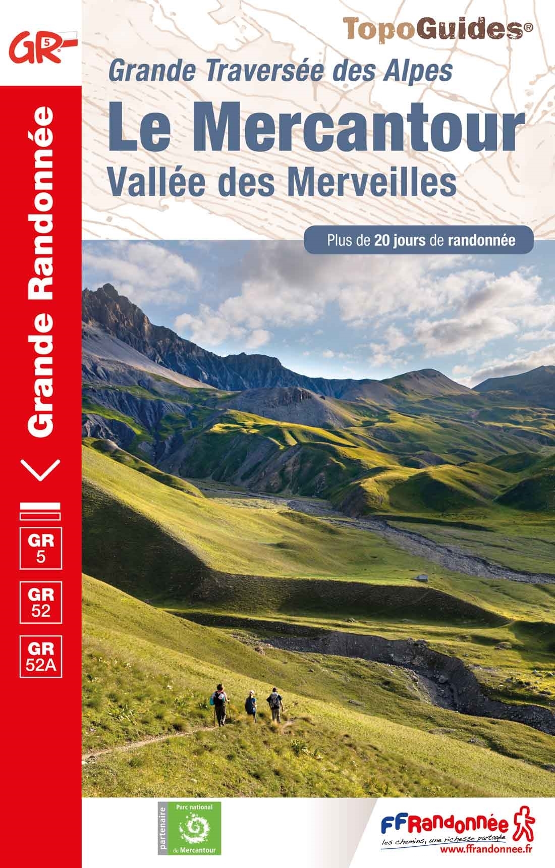
- Le Mercantour - Vallee des Merveilles GR5/GR52/52A
- Le Mercantour: Larche – Nice/Menton, Vallée des Merveilles, FFRP topoguide Ref. No. 507, covering 450km of long-distance routes: the last section of the GR5 in the French Alps from Larche to Nice, an alternative variant off GR5 along the GR52 leading via the Vallée des Merveilles to Menton, plus GR52A – Panoramique du Mecantour from Col du... Leer más
Stanfords
United Kingdom
2021
United Kingdom
2021
- Tour de l`Oisans et des Ecrins - Parc National des Ecrins GR54/GR541
- Tour de l`Oisans et des Ecrins, FFRP topoguide, Ref. No. 508, covering the 11 to 13 days long tour of the Ecrins massif along the GR54, including the local section of the GR5. Variants along GRs 54A, 54B, 54C, and 541 offer less demanding circuits of two to three days. Current edition of this title was published in April 2014.To see other... Leer más
Stanfords
United Kingdom
2020
United Kingdom
2020
- La Traversee der Alpes La Vanoise - PN de la Vanoise GR5/GR55
- 15 days in altitude from the Tarentaise to Modane, heart of the Maurienne. Description also of Via Alpina.La Vanoise (including Parc National de la Vanoise), FFRP topoguide Ref. no. 530, covering the second section of the GR5 in the French Alps between Landry and Modane, its lower variant on the GR5E along the river Arc, plus the traverse of... Leer más

- Also available from:
- De Zwerver, Netherlands

De Zwerver
Netherlands
2021
Netherlands
2021

- Also available from:
- De Zwerver, Netherlands


The Book Depository
United Kingdom
2018
United Kingdom
2018
- The GR5 Trail - Benelux and Lorraine
- The North Sea to Schirmeck in the Vosges mountains Leer más
- Also available from:
- De Zwerver, Netherlands

De Zwerver
Netherlands
2018
Netherlands
2018
- Wandelgids The GR5 Trail Benelux and Lorraine | Cicerone
- Guidebook to walking the northern section of the GR5 - 1000km starting in Hoek van Holland and passing through the Netherlands, Belgium, Luxembourg and Lorraine to Schirmeck in France. A long-distance route covering a variety of cultures and landscapes. The full GR5 from the North Sea to the Mediterranean is one of the world's greatest trails. Leer más

Bol.com
Netherlands
Netherlands
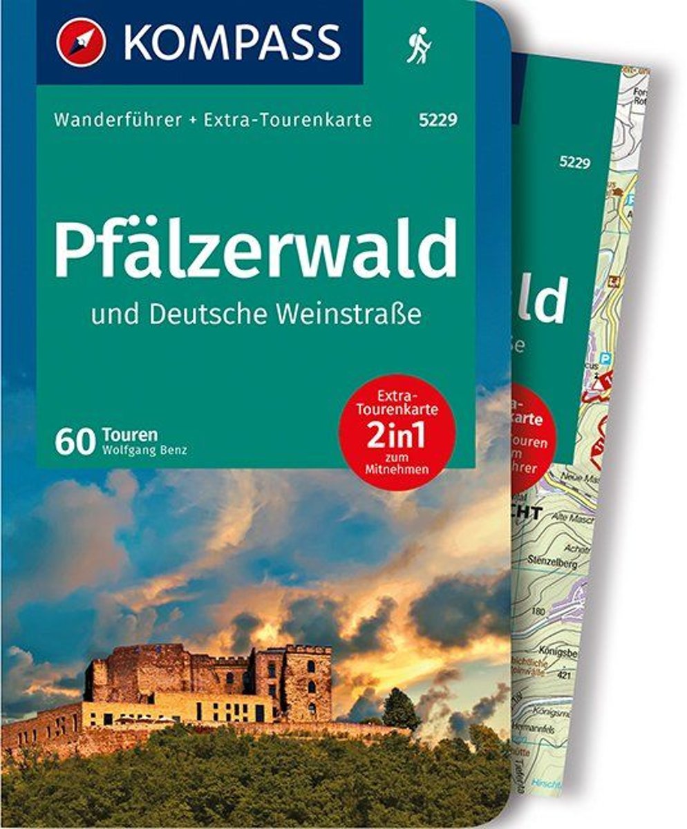
- WF5229 Pfälzerwald und Deutsche Weinstrasse Kompass
- . Praktische Tourenkarte im Maßstab 1:35000 zum Mitnehmen mit allen eingezeichneten Touren aus dem Wanderführer.. Icons im Farbbalken informieren über Schwierigkeitsgrad, Einkehrmöglichkeit, Kinderfreundlichkeit usw.. Informationen zu Ausgangspunkt, Charakter, Einkehr und Karte sind gleich zu Beginn jeder Tour übersichtlich zusammengefasst..... Leer más
- Also available from:
- Bol.com, Belgium
Bol.com
Belgium
Belgium
- WF5229 Pfälzerwald und Deutsche Weinstrasse Kompass
- . Praktische Tourenkarte im Maßstab 1:35000 zum Mitnehmen mit allen eingezeichneten Touren aus dem Wanderführer.. Icons im Farbbalken informieren über Schwierigkeitsgrad, Einkehrmöglichkeit, Kinderfreundlichkeit usw.. Informationen zu Ausgangspunkt, Charakter, Einkehr und Karte sind gleich zu Beginn jeder Tour übersichtlich zusammengefasst..... Leer más

De Zwerver
Netherlands
2021
Netherlands
2021
De Zwerver
Netherlands
2020
Netherlands
2020
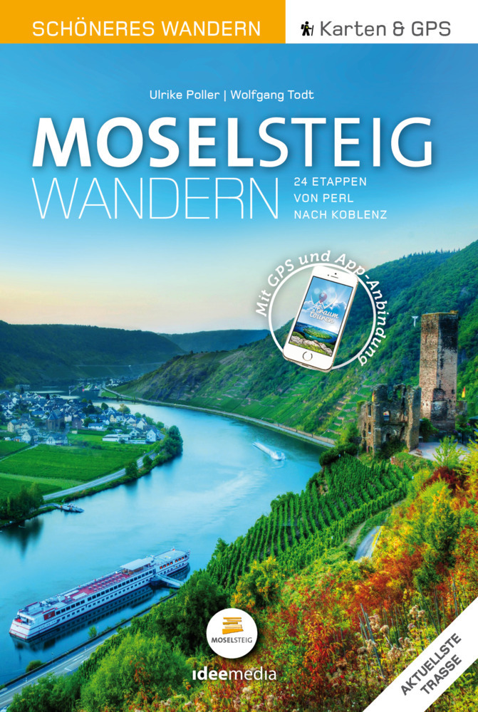
- Wandelgids Moselsteig | IdeeMedia
- 24 traumhafte Etappen auf Deutschlands jüngstem Fernwanderweg Leer más
Bol.com
Netherlands
Netherlands
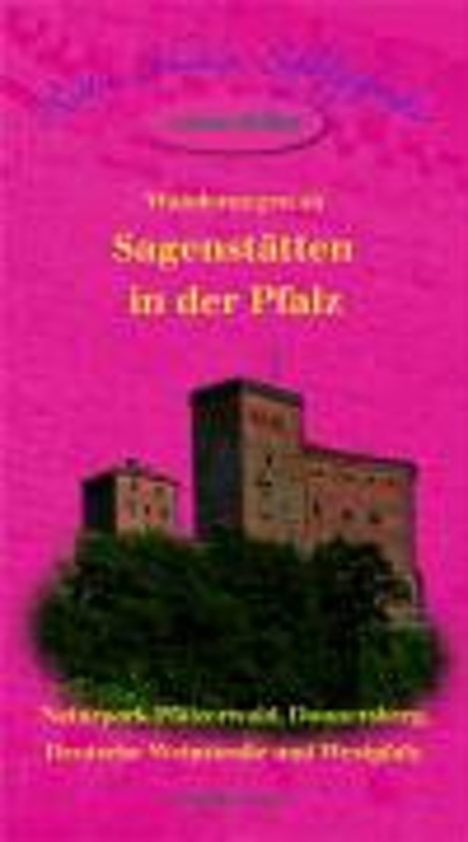
- Wanderungen zu Sagenst tten in der Pfalz
- Von Teufeln und Tempelrittern, Kaisern, K nigen und Knappen - die Pfalz h lt einiges an Sagen bereit. 45 abwechslungsreiche Wanderungen auf den Spuren jahrhundertealter berlieferungen bieten nicht nur Wanderspa , sondern auch detaillierte Informationen ber sagenumwobene Orte und Sehensw rdigkeiten wie den Trifels bei Annweiler, die Hexenklamm... Leer más
- Also available from:
- Bol.com, Belgium
Bol.com
Belgium
Belgium
- Wanderungen zu Sagenst tten in der Pfalz
- Von Teufeln und Tempelrittern, Kaisern, K nigen und Knappen - die Pfalz h lt einiges an Sagen bereit. 45 abwechslungsreiche Wanderungen auf den Spuren jahrhundertealter berlieferungen bieten nicht nur Wanderspa , sondern auch detaillierte Informationen ber sagenumwobene Orte und Sehensw rdigkeiten wie den Trifels bei Annweiler, die Hexenklamm... Leer más
Mapas

Stanfords
United Kingdom
United Kingdom
- Monti Sibillini National Park Edizioni Multigraphic 60/61
- Monti Sibillini National Park at 1:25,000 on a double-sided contoured map from Edizioni Multigraphic highlighting local waymarked hiking routes including the GAS – Grand Anello dei Sibilini, the circular tour around the mountains.The map has contours at 25m intervals with colouring for woodlands. Waymarked routes are highlighted and annotated... Leer más

Stanfords
United Kingdom
2022
United Kingdom
2022
- Eifelsteig long-distance Trail Kompass 2502
- The Eifelsteig, a 310km long-distance hiking trail from Kornelimünster near Aachen to Trier, crossing some of the most picturesque towns of the Eifel, including Monschau, Blankenheim, Gerolstein and Daun. The route is presented on 18 panels, accompanied by street plans of Kornelimünster, Monschau, Gerolstein and Trier.Maps in this new series... Leer más

Stanfords
United Kingdom
United Kingdom
- La Strada del Vino / South Tyrol Wine Route Kompass 685
- La Strada del Vino/Südtiroler Weinstraße at 1:25,000 on a durable, waterproof and tear-resistant map from Kompass in their series of detailed maps of the Dolomites.CARTOGRAPHY: Kompass maps of the Dolomites at 1:25,000 have contours at 25-m intervals. An overprint shows local and long-distance footpaths, including all the high level routes... Leer más

Stanfords
United Kingdom
United Kingdom
- Northern Westerwald: Betzdorf - Wissen - Kirchen on the Sieg
- Betzdorf - Wissen - Kirchen on the Sieg area in the northern part of the Westerwald hills along the border of Rhineland-Palatinate and North Rhine-Westphalia in a series of contoured and GPS-compatible maps at 1:25,000 with cartography of the German topographic survey and extensive overprint highlighting waymarked hiking trails and/or cycling... Leer más

Stanfords
United Kingdom
United Kingdom
- Transrhodopi - Long distance hiking and biking trail From Trigrad to Ivaylovgrad
- Western Rhodope Mountains at 1:100,000 on a contoured GPS compatible map from Domino extending from just west of the Pirin National Park to Asenovgrad in the north-east. The map is double-sided with a good overlap between the sides. Topography is shown by contours at 50m intervals with relief shading and spot heights, plus colouring for... Leer más

Stanfords
United Kingdom
United Kingdom
- Colline di Rimini
- Map No. 124, Colline di Rimini, in a series of GPS compatible hiking maps at 1:50,000 from the Istituto Geografico Adriatico, covering parts of central Italy: eastern Tuscany, with northern Umbria and the Marches, plus the south-eastern of part of Emilia-Romagna. This title covers the holiday resorts on the Adriatic coast around Rimini,... Leer más

Stanfords
United Kingdom
United Kingdom
- Alpe della Luna 17
- Map No. 16, Monte Carpegna - Sasso di Simone, in series of contoured, GPS compatible hiking maps at 1:25,000 from the Istituto Geografico Adriatico, covering mainly the spine of the Apennines along the borders of Tuscany, Emilia-Romagna, Umbria and the Marches.Map in this series have contours at 25m intervals with additional shading and... Leer más

Stanfords
United Kingdom
United Kingdom
- Saar-Hunsrück Nature Park East
- The eastern part of the Saar-Hunsrück Nature Park on a GPS compatible, topographic recreational map at 1:50,000 from the survey organizations of Rhineland-Palatinate and Saarland with cartography identical to the standard topographic survey of Germany but with additional extensive overprint highlighting local and long-distance hiking trails,... Leer más

Stanfords
United Kingdom
United Kingdom
- Pfalzerwald Mountainbike Park
- Pfalzerwald Mountainbike Park on a GPS compatible, topographic recreational map at 1:50,000 from the survey organization of Rhineland-Palatinate with cartography identical to the standard topographic survey of Germany but with additional extensive overprint highlighting local and long-distance hiking trails, cycle routes, sightseeing touring... Leer más

Stanfords
United Kingdom
United Kingdom
- Northern Westerwald: Betzdorf - Daaden - Gebhardshain - Herdorf
- Betzdorf - Daaden - Gebhardshain - Herdorf area in the northern part of the Westerwald hills along the border of Rhineland-Palatinate and North Rhine-Westphalia in a series of contoured and GPS-compatible maps at 1:25,000 with cartography of the German topographic survey and extensive overprint highlighting waymarked hiking trails and/or... Leer más

Stanfords
United Kingdom
United Kingdom
- Alpe di San Benedetto 21
- Map No. 21, Alpe di San Benedetto: Passo del Muraglione – San Godenzo – Dicomano, in series of contoured, GPS compatible hiking maps at 1:25,000 from the Istituto Geografico Adriatico, covering mainly the spine of the Apennines along the borders of Tuscany, Emilia-Romagna, Umbria and the Marches.Map in this series have contours at 25m intervals... Leer más

Stanfords
United Kingdom
United Kingdom
- Saar-Hunsrück Nature Park (2-map set)
- Saar-Hunsrück Nature Park on a set of two GPS compatible, topographic recreational maps at 1:50,000 from the survey organizations of Rhineland-Palatinate and Saarland with cartography identical to the standard topographic survey of Germany but with additional extensive overprint highlighting local and long-distance hiking trails, cycle routes,... Leer más

Stanfords
United Kingdom
United Kingdom
- Deutsch-Luxemburgischer Nature Park
- Deutsch-Luxemburgischer Nature Park, straddling the border between the southern part of the Eifel in Germany and Luxembourg, on a GPS compatible, topographic recreational map at 1:50,000 from the survey organization of Rhineland-Palatinate with cartography identical to the standard topographic survey of Germany but with additional extensive... Leer más
Stanfords
United Kingdom
United Kingdom
- Alta Valle del Santerno 23
- Map No. 22, Alta Valle del Lamone: Alto Appennino Faentino – Anello di Marradi, in series of contoured, GPS compatible hiking maps at 1:25,000 from the Istituto Geografico Adriatico, covering mainly the spine of the Apennines along the borders of Tuscany, Emilia-Romagna, Umbria and the Marches.Map in this series have contours at 25m intervals... Leer más

Stanfords
United Kingdom
United Kingdom
- Autour du Thabor: Modane - Bardonecchia - Briançon
- Mont Thabor area at 1:50,000 on a contoured and GPS compatible map from Editions Didier Richard in their series of walking maps of French Alps and other popular hiking regions of south-eastern France. Coverage extends from Modane in the north to Briançon in the south-east, and west to Valloire.The base map with cartography from the IGN has... Leer más