
Munsterland
Descripción
Enlaces
Datos
Informes
Guías y mapas
Hospedaje
Organizaciones
Operadores turísticos
GPS
Otro
Libros

Stanfords
United Kingdom
United Kingdom
- DK Eyewitness Road Trips Germany
- With its scenic towns, romantic medieval cities and evocative landscapes, Germany is the perfect destination for a leisurely road trip. It`s yours to explore with Road Trips Germany, our redesigned and newly updated guide containing 24 drives across the country, from the winding Baltic Coast to the remote valleys of the Black Forest. Packed... Leer más

Stanfords
United Kingdom
United Kingdom
- Münsterland 3-Map Set Kompass 849
- The Münsterland region of North Rhine-Westphalia on a set of three detailed, GPS compatible maps at 1:50,000 from Kompass with local and long-distance footpaths, cycling routes, accommodation, etc. Coverage extends north to Osnabrück and Enschede in the Netherlands, and south to Hamm and Reckinghausen.KOMPASS HIKING & RECREATIONAL MAPS:This... Leer más

Bol.com
Netherlands
2014
Netherlands
2014
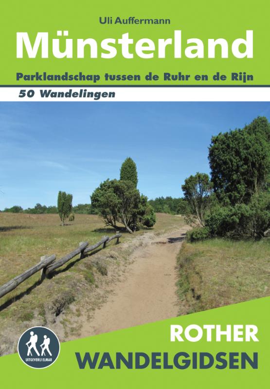
- Rother Wandelgidsen - Munsterland
- Ontdek het wandelgeheim over de grens!De Rother Wandelgids M nsterland beschrijft 50 wandelroutes in deze sprookjesachtige Duitse regio.Wandel langs kleine wegen die kronkelen door bossen en weiden. Geniet van de vele prachtige kastelen en landhuizen. Alle dagwandelingen voor M nsterland hebben betrouwbare routebeschrijvingen, gedetailleerde... Leer más
- Also available from:
- Bol.com, Belgium
- De Zwerver, Netherlands
Bol.com
Belgium
2014
Belgium
2014
- Rother Wandelgidsen - Munsterland
- Ontdek het wandelgeheim over de grens!De Rother Wandelgids M nsterland beschrijft 50 wandelroutes in deze sprookjesachtige Duitse regio.Wandel langs kleine wegen die kronkelen door bossen en weiden. Geniet van de vele prachtige kastelen en landhuizen. Alle dagwandelingen voor M nsterland hebben betrouwbare routebeschrijvingen, gedetailleerde... Leer más
De Zwerver
Netherlands
2014
Netherlands
2014
- Wandelgids Münsterland | Uitgeverij Elmar
- Ontdek het wandelgeheim over de grens! De Rother Wandelgids Münsterland beschrijft 50 wandelroutes in deze sprookjesachtige Duitse regio. Wandel langs kleine wegen die kronkelen door bossen en weiden. Geniet van de vele prachtige kastelen en landhuizen. Alle dagwandelingen voor Münsterland hebben betrouwbare routebeschrijvingen, gedetailleerde... Leer más
Más libros…

Mapas

Stanfords
United Kingdom
United Kingdom
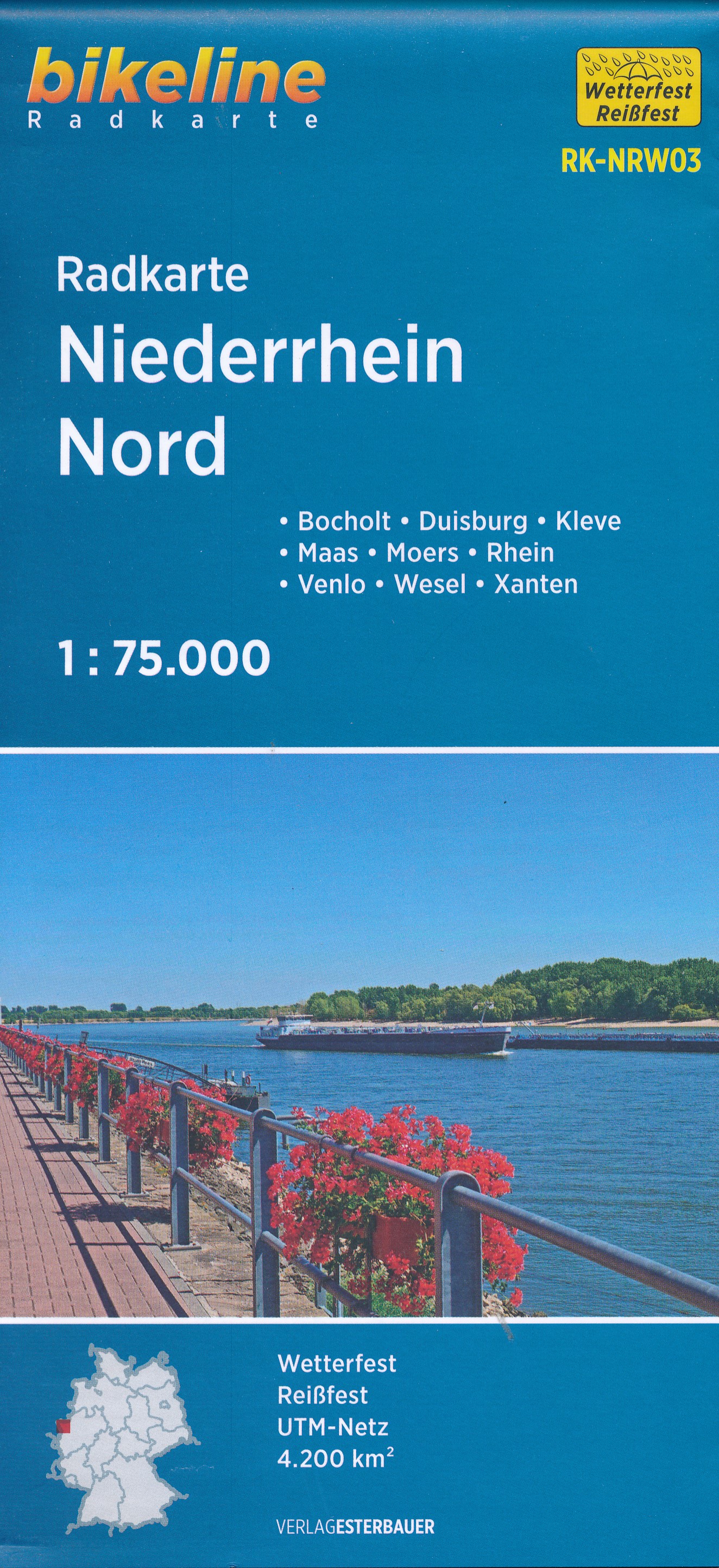
- Munsterland Regional Cycling Map
- Munsterland on a waterproof, tear-resistant, GPS compatible cycling map at 1:75,000 from the ADFC (Allgemeiner Deutscher Fahrrad-Club - the official German cycling federation), in a series of maps with extensive overprint for long-distance and local cycling routes. GPS waypoints, route profiles, details of online links for information about... Leer más

Stanfords
United Kingdom
2022
United Kingdom
2022
- Teutoburg Forest K+F Outdoor Map 45
- Teutoburg Forest in northern Germany at 1:50,000 from Kümmerly+Frey in a series GPS compatible, double-sided maps printed on durable, waterproof and tear-resistant plastic paper; contoured, with hiking and cycle routes, other recreational activities, etc.Maps in this series are at a scale of either 1:50,000 or 1:35,000. Contour interval varies... Leer más

Stanfords
United Kingdom
United Kingdom
- Münsterland Ost - Beckumer Berge 50K Kümmerly + Frey Map No. 59
- Münsterland Ost - Beckumer Berge area in Germany at 1:50,000 from Kümmerly+Frey in a series GPS compatible, double-sided maps printed on durable, waterproof and tear-resistant plastic paper; contoured, with hiking and cycle routes, other recreational activities, etc.Maps in this series are at a scale of either 1:50,000 or 1:35,000. Contour... Leer más

Stanfords
United Kingdom
United Kingdom
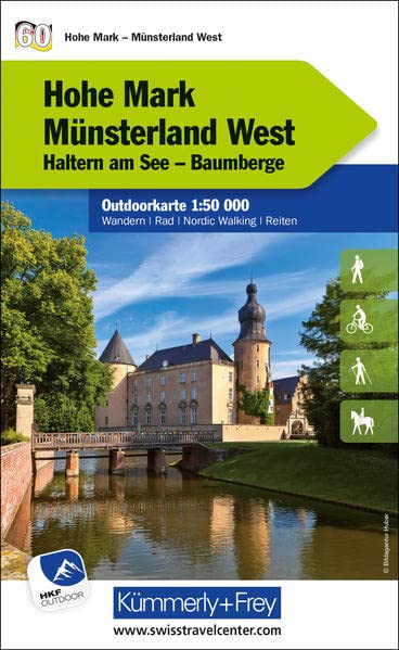
- Hohe Mark / Münsterland West 50K Kümmerly + Frey Map No. 60
- Hohe Mark / Münsterland West area in Germany at 1:50,000 from Kümmerly+Frey in a series GPS compatible, double-sided maps printed on durable, waterproof and tear-resistant plastic paper; contoured, with hiking and cycle routes, other recreational activities, etc.Maps in this series are at a scale of either 1:50,000 or 1:35,000. Contour interval... Leer más

Stanfords
United Kingdom
United Kingdom
- Hermannsweg und Eggeweg - die Hermannshohen Kompass Long-distance Trail Map 2504
- Hermannsweg plus Eggeweg, a combined 218km long-distance hiking trail in north-western Germany between Rheine and Marsberg along the Teutoburger Wald and hills of the Eggegebirge. The route is presented on 18 panels, accompanied by street plans of Rheine, Bielefeld, Horn-Bad Mainberg and Marsberg.Maps in this new series from Kompass, begun in... Leer más
Stanfords
United Kingdom
United Kingdom
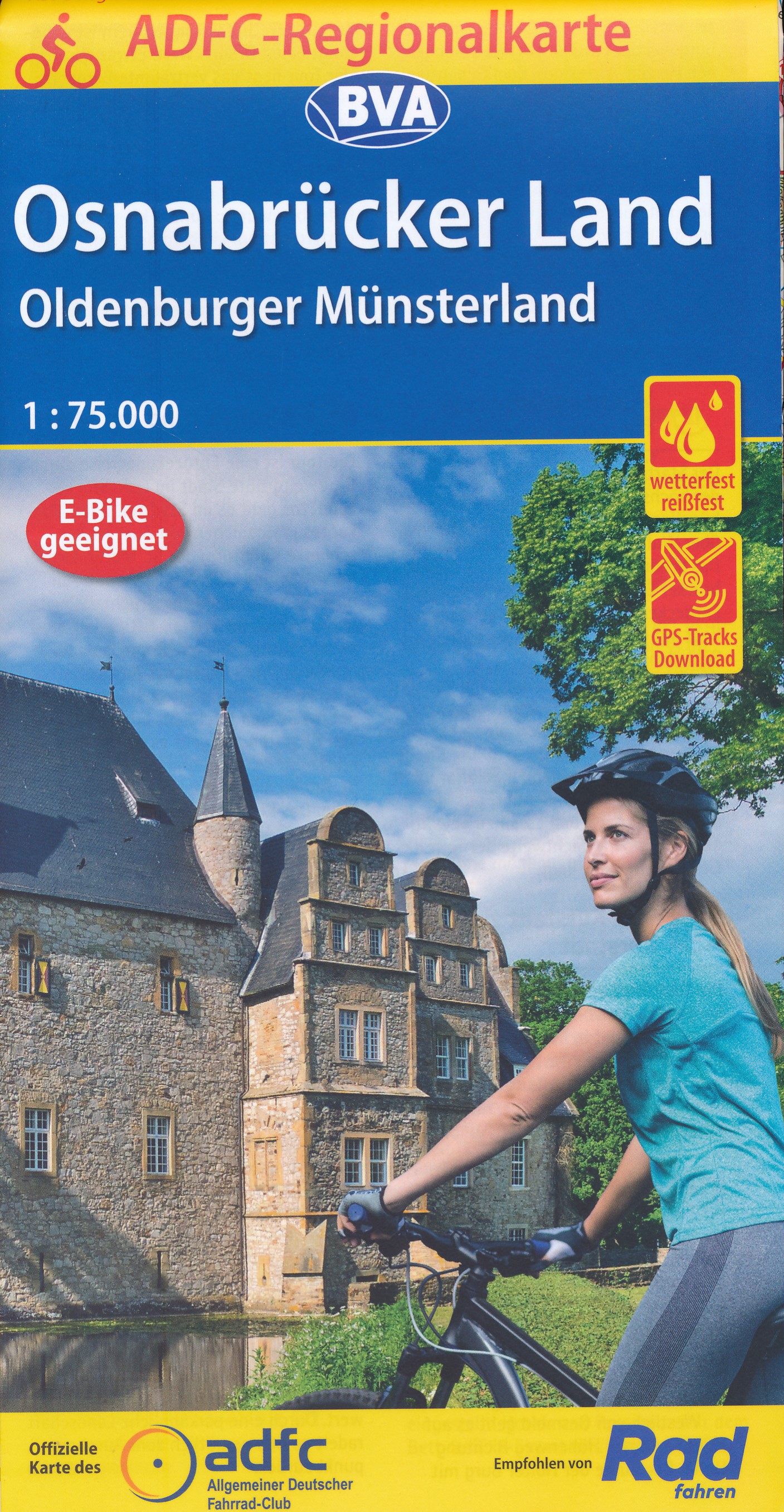
- Osnabrucker Land - Oldenburger Munsterland Cycling Map
- Osnabrucker Land - Oldenburger Munsterland on a waterproof, tear-resistant, GPS compatible cycling map at 1:75,000 from the ADFC (Allgemeiner Deutscher Fahrrad-Club - the official German cycling federation), in a series of maps with extensive overprint for long-distance and local cycling routes. GPS waypoints, route profiles, details of online... Leer más
- Also available from:
- De Zwerver, Netherlands

De Zwerver
Netherlands
2024
Netherlands
2024
Bol.com
Netherlands
Netherlands
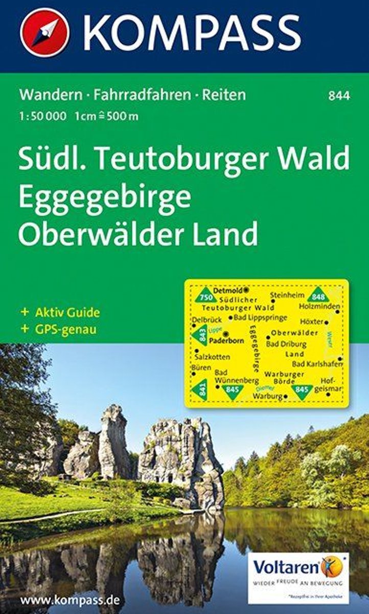
- Kompass WK844 Südlicher Teutoburger Wald, Eggegebirge, Oberwälder Land
- Deze Kompass wandelkaart, schaal 1:50 000, is ideaal om uw route uit te stippelen en om onderweg te gebruiken • naast de bekende bestemmingen, worden ook de minder bekende vermeld • openbaar vervoer bij begin- of eindpunt van een route aangegeven • eenvoudige wandelingen tot pittige (berg)tochten, voor getrainde en ongetrainde wandelaars • met... Leer más
- Also available from:
- Bol.com, Belgium
Bol.com
Belgium
Belgium
- Kompass WK844 Südlicher Teutoburger Wald, Eggegebirge, Oberwälder Land
- Deze Kompass wandelkaart, schaal 1:50 000, is ideaal om uw route uit te stippelen en om onderweg te gebruiken • naast de bekende bestemmingen, worden ook de minder bekende vermeld • openbaar vervoer bij begin- of eindpunt van een route aangegeven • eenvoudige wandelingen tot pittige (berg)tochten, voor getrainde en ongetrainde wandelaars • met... Leer más
De Zwerver
Netherlands
2021
Netherlands
2021
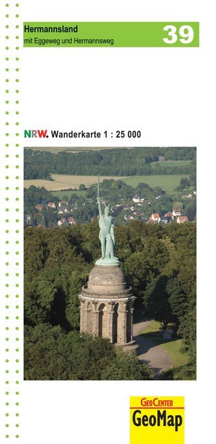
- Wandelkaart 39 Hermannsland mit Eggeweg und Hermannsweg | GeoMap
- mit Eggeweg und Hermannsweg Amtliche Karten Nordrhein-Westfalen 1 : 25 000 Wanderkarten. 2. Auflage, Laufzeit bis 2016. Leer más

Stanfords
United Kingdom
United Kingdom
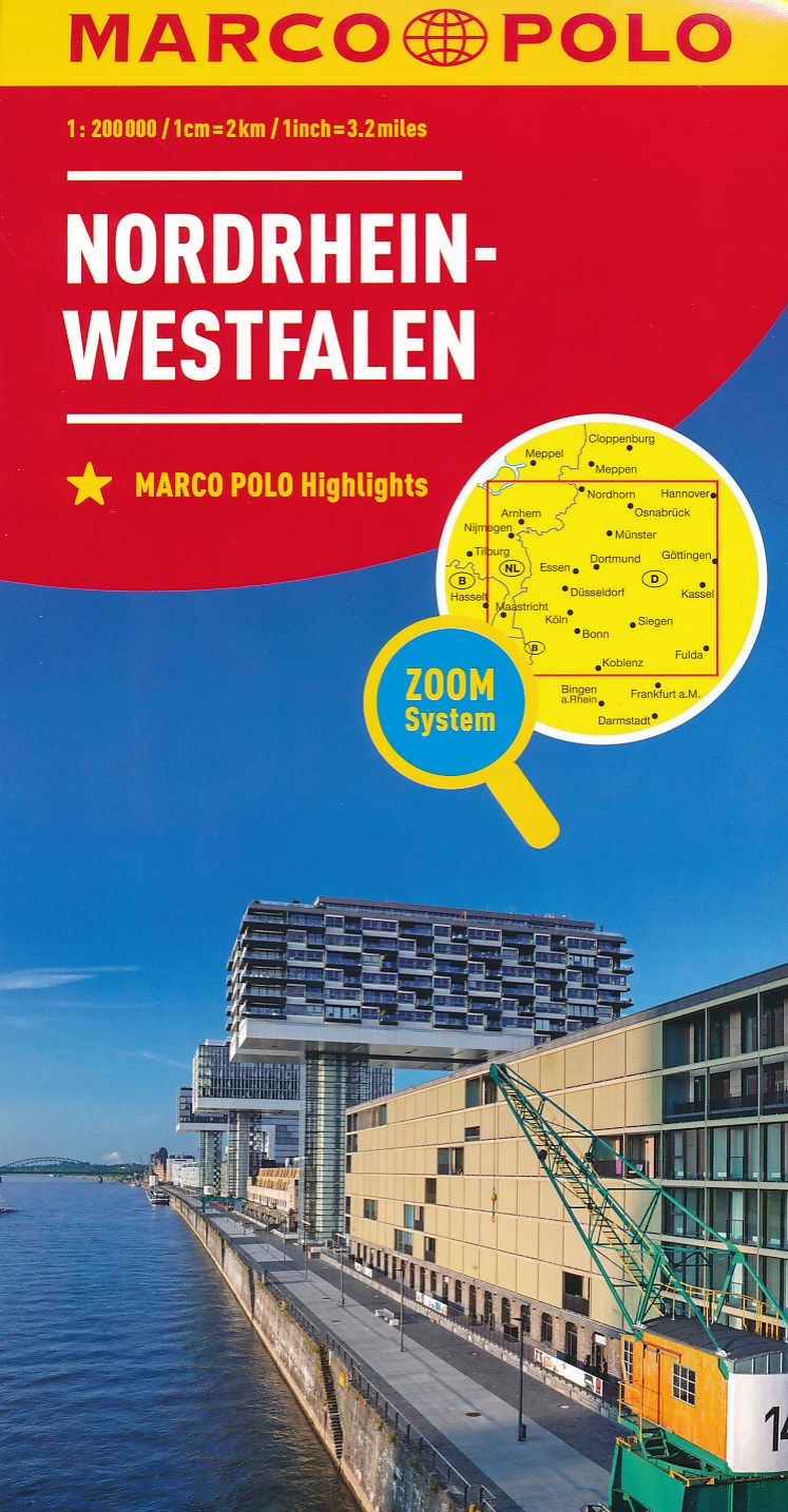
- North Rhine-Westphalia Marco Polo Regional Map 5
- German state of North Rhine-Westphalia on a large, double-sided indexed road map at 1:200,000 in the MairDumont’s Marco Polo series, prominently highlighting interesting locations and protected areas. An index booklet includes city centre street plans plus enlargements at 1:100,000 showing in greater detail the environs with road access to... Leer más
- Also available from:
- De Zwerver, Netherlands
De Zwerver
Netherlands
2022
Netherlands
2022
De Zwerver
Netherlands
2014
Netherlands
2014
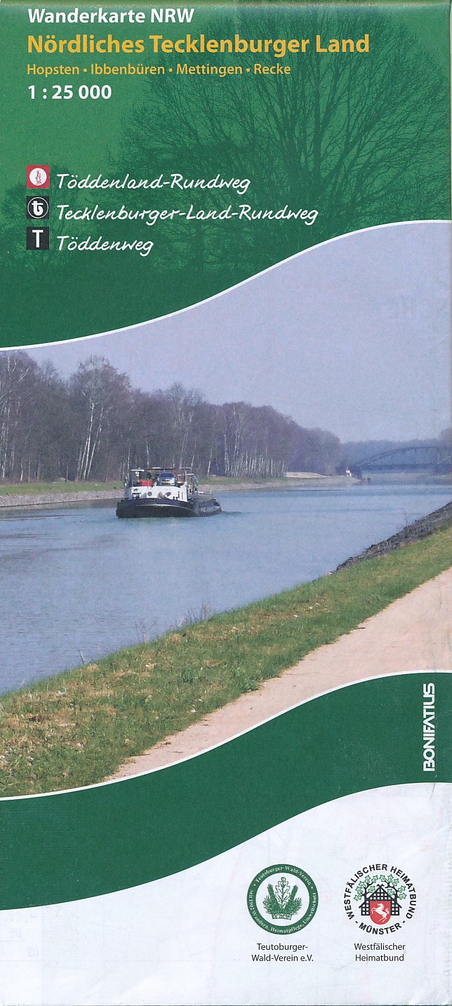
- Wandelkaart Nördliches Tecklenburger Land | NRW Bonifatius
- Gedetailleerde topografische wandelkaart, vele routes ingetekend. Das Tecklenburger Land, in dem die wichtigsten Orte durch den 136 km langen Tecklenburger-Land-Rundweg (weißes "t" auf schwarzem Grund) verbunden werden, liegt im Kreis Steinfurt und grenzt im Norden und Osten an das Nachbarland Niedersachsen an. Sein nördlicher Bereich... Leer más
De Zwerver
Netherlands
Netherlands
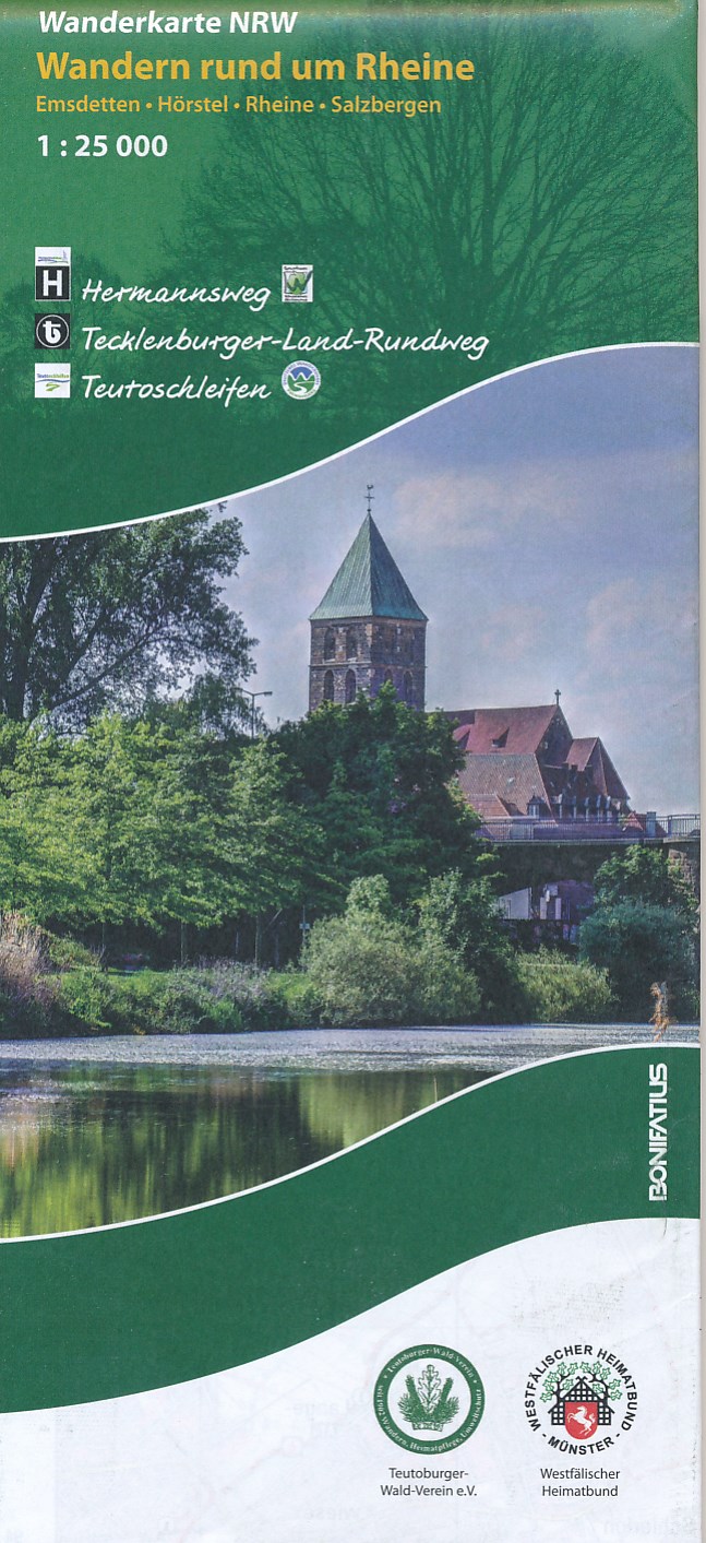
- Wandelkaart Wandern rund um Rheine | NRW Bonifatius
- Gedetailleerde topografische wandelkaart. Diverse routes ingetekend. Rheine, mit 76.000 Einwohnern größte Stadt des Kreises Steinfurt, ist Ausgangspunkt der insgesamt 226 km langen Hermannshöhen, die aus den Traditionswegen Hermannsweg und Eggeweg bestehen. Beide Wege sind als ",Qualitätswege Wanderbares Deutschland" zertifiziert und... Leer más