
Suecia
Descripción

Sweden has thousands of kilometers of hiking trails. The majority leads through the low, often sparsely populated regions. The landscape certainly isn't all stereotype forests and lakes, but also many places of cultural historical interest, towns, villages and countryside.
Trails are well documented and marked, and often looked after by local communities. There are huts, mostly self-service, where you can warm up by a wood-burning stove, dry your clothes and stay overnight. Hundreds of youth hostels are spread about the country, as are many small campsites popular with hikers. Maps of long distance trails are available locally. Do not expect to meet up with hordes of other hikers, and bring enough food. Walking in these low regions is good from early spring until late autumn.
Swedish mountains are a different story altogether. This is rough country, so count on alpine circumstances, and plan your walk between halfway June and halfway September. Most famous is Kungsleden, a trail up north in Lapland. It has existed for almost one hundred years and leads you up Swedens highest mountaintops. More mountainous areas are to be found further south, along the border with Norway. The STF, Swedish Tourist Club, has mountain huts at regular intervals in all these regions.
If all this isn't challenging enough for you, try roaming freely through the Lapland wilderness, without trails or huts, for instance in Sarek National Park.
Senderos
- AnebyledenGPX
- ArnäsledenGPX
- Öreälvens Vandringsled
- ÖsterlenledenGPX
- ÖstgötaledenGPX
- ÄngenledenGPX
- Ås till åsledenGPX
- ÅsundenledenGPX
- Baltic Trail
- BauerledenGPX
- BergslagsledenGPX
- BillingeledenGPX
- Blå ledenGPX
- Blekinge VildmarksledGPX
- BlekingeledenGPX
- BohusledenGPX
- Bonnaleder
- BruksledenGPX
- DackeledenGPX
- Domarvëgen
- E1GPX
- E6GPX
- Fäbodvandringar Ljusbodarna-Leksand
- FinnledenGPX
- FinnskogledenGPX
- FinnskogsledenGPX
- FinnvägenGPX
- FlottarstigenGPX
- Fryksdalen - Klarälvsdalen
- Funäsfjällen
- Gagnefs vandringsleder
- GästrikeledenGPX
- GislavedsledenGPX
- GlasbruksledenGPX
- GlaskogenGPX
- Grensesømmen
- HallandsledenGPX
- HälsingeledenGPX
- Höga KustenledenGPX
- HöglandsledenGPX
- HögsbyledenGPX
- HolavedsledenGPX
- IsälvsledenGPX
- Jämt-Norge-LedenGPX
- JämtlandsfjällenGPX
- JärnbärarledenGPX
- John BauerledenGPX
- KajvallsledenGPX
- KalmarsundsledenGPX
- KårböleledenGPX
- KinnekulleledenGPX
- Kittelfjall-Borgafjall
- KnalleledenGPX
- KolarstigenGPX
- KungsledenGPX
- Lögdeälvens Vildmarksled
- LönnebergaledenGPX
- Ljugarns Vandringsleder
- Ljungdalsfjällen
- LjusnanledenGPX
- Malingsbo-KlotenrundanGPX
- MönsteråsledenGPX
- MörbylångaledenGPX
- MittnordenledenGPX
- MuddusledenGPX
- MunkastigenGPX
- Njudungsleden
- NordkalottledenGPX
- NordlandsrutaGPX
- North Sea TrailGPX
- Nynäsleden
- OstkustledenGPX
- PadjelantaledenGPX
- Pilgrimsled st OlofGPX
- PilgrimsledenGPX
- RallarstigenGPX
- Rallarvägen
- RedvägsledenGPX
- RomboledenGPX
- RoslagsledenGPX
- RuijaledenGPX
- Santiago de Compostela Pilgrims WayGPX
- Sävsjöleden
- Södra VätterledenGPX
- SörmlandsledenGPX
- SevedeledenGPX
- SigfridsledenGPX
- SiljansledenGPX
- SilverledenGPX
- SjuhäradsledenGPX
- SjuvallsledenGPX
- SkaneledenGPX
- SkåneledenGPX
- Skåneleden kust till kustGPX
- Skåneleden nord till syd
- Skånleden
- Skånvagen
- SméledenGPX
- StorspåretGPX
- SvågaledenGPX
- TavelsjöledenGPX
- TjustledenGPX
- TorsåsledenGPX
- UpplandsledenGPX
- UtvandrarledenGPX
- VasaloppsledenGPX
- Värmlandsleden
- Västra Vätternleden
- Verkeån vandringsled
- VildmarksledenGPX
- Vildmarksleden Falun
- Vildmarksleden SmålandGPX
Regiones
Estados
Enlaces
Datos
Informes
Guías y mapas
Hospedaje
Organizaciones
Operadores turísticos
GPS
Otro
Libros

United Kingdom
- Tärnaby - Hemavan - Ammarnäs Lantmateriet AC2
- Mountain areas of central and northern Sweden on waterproof and tear-resistant, GPS compatible topographic “Fjällkartan” maps at 1:100,000 and 1:50,000 from Lantmäteriet - the country’s national survey organization, with hiking and ski routes, campsites and youth hostels, etc. Relief is shown by contours at 20m intervals and enhanced by relief... Leer más


Netherlands
2009
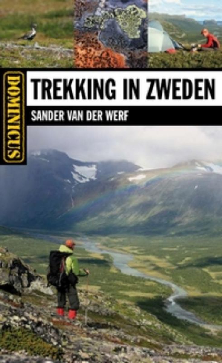
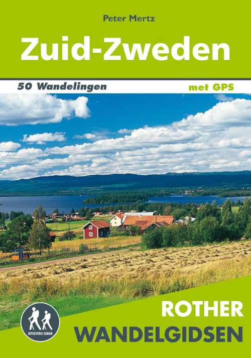
- Dominicus trekking in Zweden
- In deze gids worden de mooiste wandelgebieden van Zweden uitgebreid besproken. Er is veel aandacht voor berggebieden in het noordelijke Lapland, maar ook wandelen in centraler Zweden komt ruimschoots aan bod.In dit boek zijn 27 bergwandeltochten opgenomen: 12 dagtochten en 15 meerdaagse tochten. Uiteraard worden bekende routes zoals het... Leer más
- Also available from:
- Bol.com, Belgium
Belgium
2009
- Dominicus trekking in Zweden
- In deze gids worden de mooiste wandelgebieden van Zweden uitgebreid besproken. Er is veel aandacht voor berggebieden in het noordelijke Lapland, maar ook wandelen in centraler Zweden komt ruimschoots aan bod.In dit boek zijn 27 bergwandeltochten opgenomen: 12 dagtochten en 15 meerdaagse tochten. Uiteraard worden bekende routes zoals het... Leer más
Netherlands
- Southwest usa
- These are the guides that show you what others can only tell you. You can hike, hack or kayak through some of the world's most spectacular national parks, or relax in luxury at Caesar's Palace. With unique 3D cutaway maps the wonder of the Southwest is fully revealed. So don your blue suede or hiking shoes, and head into the land of the pioneer! Leer más
- Also available from:
- Bol.com, Belgium
Belgium
- Southwest usa
- These are the guides that show you what others can only tell you. You can hike, hack or kayak through some of the world's most spectacular national parks, or relax in luxury at Caesar's Palace. With unique 3D cutaway maps the wonder of the Southwest is fully revealed. So don your blue suede or hiking shoes, and head into the land of the pioneer! Leer más
Netherlands
2011
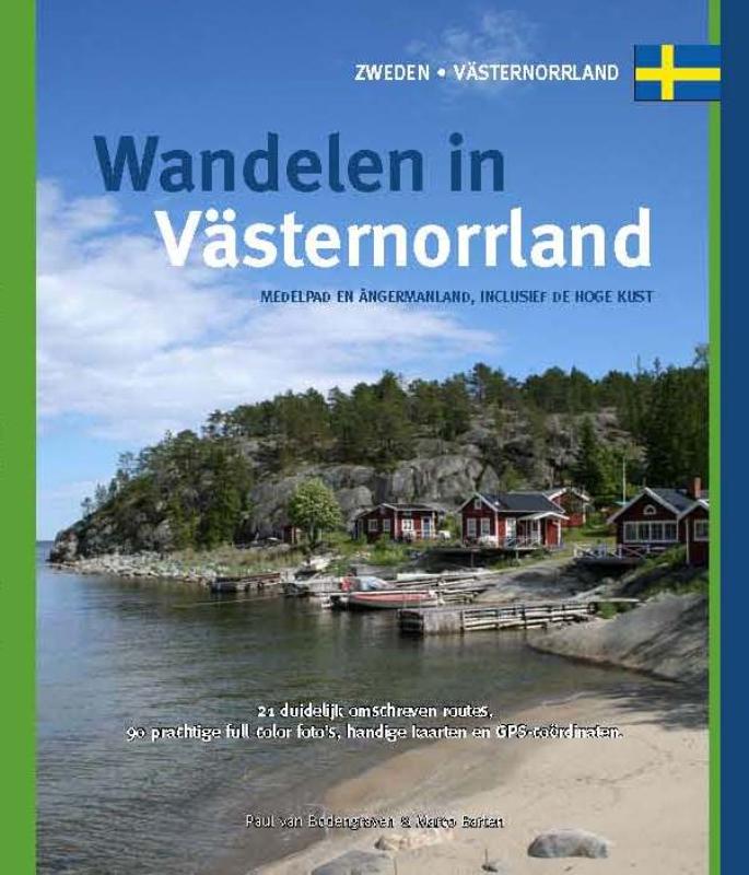
- Wandelgids Wandelen in Västernorrland - Zweden | One Day Walks
- Västernorrland ligt aan de rand van Europa’s laatste wildernis; aan de noordkant begint Lapland, aan de westkant ligt Jämtland met de bergrug die Zweden scheidt van Noorwegen. Hier kwamen de Zweedse ‘kolonisten’, die steeds verder noordwaarts trokken, voor het eerst in contact met de Samen, de oorspronkelijke bevolking van Lapland. In deze gids... Leer más
Mapas

United Kingdom
- Bollnäs
- Topographic survey of Sweden at 1:50,000, the Terrängkartan, from the Lantmäteriet, covering most of the country in 244 double-sided maps. Please note: the mountainous regions of central and northern Sweden are not covered by this series but presented in a separate “Fjällkartan - Mountain Map” series also listed on our website.Each 1:50,000... Leer más
United Kingdom
- Uppsala
- Topographic survey of Sweden at 1:50,000, the Terrängkartan, from the Lantmäteriet, covering most of the country in 244 double-sided maps. Please note: the mountainous regions of central and northern Sweden are not covered by this series but presented in a separate “Fjällkartan - Mountain Map” series also listed on our website.Each 1:50,000... Leer más

United Kingdom
2016
- Treriksröset - Rostojavri Lantmateriet BD1
- Mountain areas of central and northern Sweden on waterproof and tear-resistant, GPS compatible topographic “Fjällkartan” maps at 1:100,000 and 1:50,000 from Lantmäteriet - the country’s national survey organization, with hiking and ski routes, campsites and youth hostels, etc. Relief is shown by contours at 20m intervals and enhanced by relief... Leer más
United Kingdom
- Hudiksvall
- Topographic survey of Sweden at 1:50,000, the Terrängkartan, from the Lantmäteriet, covering most of the country in 244 double-sided maps. Please note: the mountainous regions of central and northern Sweden are not covered by this series but presented in a separate “Fjällkartan - Mountain Map” series also listed on our website.Each 1:50,000... Leer más
United Kingdom
- Avesta
- Topographic survey of Sweden at 1:50,000, the Terrängkartan, from the Lantmäteriet, covering most of the country in 244 double-sided maps. Please note: the mountainous regions of central and northern Sweden are not covered by this series but presented in a separate “Fjällkartan - Mountain Map” series also listed on our website.Each 1:50,000... Leer más
United Kingdom
- Sundsvall
- Topographic survey of Sweden at 1:50,000, the Terrängkartan, from the Lantmäteriet, covering most of the country in 244 double-sided maps. Please note: the mountainous regions of central and northern Sweden are not covered by this series but presented in a separate “Fjällkartan - Mountain Map” series also listed on our website.Each 1:50,000... Leer más
United Kingdom
- Falun
- Topographic survey of Sweden at 1:50,000, the Terrängkartan, from the Lantmäteriet, covering most of the country in 244 double-sided maps. Please note: the mountainous regions of central and northern Sweden are not covered by this series but presented in a separate “Fjällkartan - Mountain Map” series also listed on our website.Each 1:50,000... Leer más
United Kingdom
- Mörsil
- Topographic survey of Sweden at 1:50,000, the Terrängkartan, from the Lantmäteriet, covering most of the country in 244 double-sided maps. Please note: the mountainous regions of central and northern Sweden are not covered by this series but presented in a separate “Fjällkartan - Mountain Map” series also listed on our website.Each 1:50,000... Leer más
United Kingdom
- Leksand
- Topographic survey of Sweden at 1:50,000, the Terrängkartan, from the Lantmäteriet, covering most of the country in 244 double-sided maps. Please note: the mountainous regions of central and northern Sweden are not covered by this series but presented in a separate “Fjällkartan - Mountain Map” series also listed on our website.Each 1:50,000... Leer más

United Kingdom
2015
- Tocksfors - Arjang - Nysater Norstedts Outdoor 16
- This map of Tocksfors Arjang Nysater in 1:50,000 is part of a series of topographic maps from Norstedts Kartforlaget which includes 28 outdoor maps covering the mountain areas and popular recreation areas in southern Sweden. The maps in this series have a new look and are printed on a durable and water resistant paper. Cartography, material and... Leer más
United Kingdom
- Svabensverk
- Topographic survey of Sweden at 1:50,000, the Terrängkartan, from the Lantmäteriet, covering most of the country in 244 double-sided maps. Please note: the mountainous regions of central and northern Sweden are not covered by this series but presented in a separate “Fjällkartan - Mountain Map” series also listed on our website.Each 1:50,000... Leer más
United Kingdom
- Arvika
- Topographic survey of Sweden at 1:50,000, the Terrängkartan, from the Lantmäteriet, covering most of the country in 244 double-sided maps. Please note: the mountainous regions of central and northern Sweden are not covered by this series but presented in a separate “Fjällkartan - Mountain Map” series also listed on our website.Each 1:50,000... Leer más
United Kingdom
- Borgholm Lantmateriet 528
- Topographic survey of Sweden at 1:50,000, the Terrängkartan, from the Lantmäteriet, covering most of the country in 244 double-sided maps. Please note: the mountainous regions of central and northern Sweden are not covered by this series but presented in a separate “Fjällkartan - Mountain Map” series also listed on our website.Each 1:50,000... Leer más
United Kingdom
- Sölvesborg Lantmateriet 510
- Topographic survey of Sweden at 1:50,000, the Terrängkartan, from the Lantmäteriet, covering most of the country in 244 double-sided maps. Please note: the mountainous regions of central and northern Sweden are not covered by this series but presented in a separate “Fjällkartan - Mountain Map” series also listed on our website.Each 1:50,000... Leer más
United Kingdom
- Harads
- Topographic survey of Sweden at 1:50,000, the Terrängkartan, from the Lantmäteriet, covering most of the country in 244 double-sided maps. Please note: the mountainous regions of central and northern Sweden are not covered by this series but presented in a separate “Fjällkartan - Mountain Map” series also listed on our website.Each 1:50,000... Leer más