
Kungsleden
Descripción
- Name Kungsleden
- Distancia de sendero 420 km, 261 millas
- Duración en días 28 días
- Inicio de sendero Abisko
- Fin de sendero Hemavan
- Clasificación Traildino MW, Caminata moderada, sendero de mochileros
- Clasificación Travesía de refugios T1, Caminata

Through Lapland from Abisko to Hemavan, 420 km (plus 20 km boat), 28 days
Connects to Nordkalottleden and Padjelantaleden.
Abisko - Vakkotavare hut 110 km
Transport Vakkotavare hut - Saltoluokta hut (bus and boat)
Saltoluokta hut - Kvikkjokk 70 km
Kvikkjokk - Ammarnäs 185 km
Ammarnäs - Hemavan 80 km
One of the world's most populair trails, Kungsleden runs through vast and unspoiled mountain areas of Sweden. The trail attracts hikers from all over the world ("even Swedes", the joke goes) and therefore it's a busy trail. Some hikers for this reason choose more quiet, not less beautiful, paths, like nearby Padjelanteleden or Nordkalottleden or make survival trips into Sarek. Other hikers enjoy the chat and like to share dreams of a boundless world.
Most people walk north-south. The lake crossings are more convenient this way because most huts are located on the north side of the lakes.
Kungsleden can be divided into three parts. The northern and by far most popular part starts in Abisko and ends in Kvikkjokk, 180 km. Facilities are good, huts every 10 to 20 km. The trail however is worn out and strenuous. The central part from Kvikkjokk to Ammarnäs, 185 km, is void of STF huts and attracts far less hikers, mostly thru-hikers with big backpacks. The saying goes this part is less beautiful and why not stick to this myth (hint)? The southern part again counts good STF huts at regular intervals. The 80 km long path is easy going and offers fantastic views. In Hemavan, the trail ends.
Be aware that most STF huts have shops with a good assortment of food. Many hikers still choose to carry their own food as if they are unaware of this. Some words on the STF huts. A host will welcome you, offer you a drink, show you your bed, where to get water, etc. Do some shoppings, help yourself in the kitchen, socialise with the other folks, dive into the sauna. Campers may use the kitchen and facilities against a fair charge. These huts are great but for one drawback: they are costly. STF members get a discount. The membership cost will pay back from the fourth hut onwards. Camping is a cheap alternative.
The lack of STF huts in the middle section makes a thru-hike without a tent difficult. You will find accommodation in the villages Ammarnäs, Adolfström, Jäckvikk, private accommodation in Vuonatjviken and Bäverholm, unstaffed huts Rävfall and Pieljekaise (key in the shops of Jäckvikk, Adolfström, Ammarnäs). The beautiful and lonely 60 km stretch between Vuonatjviken and Kvikkjokk only has a leaking Samen tipi (Tjäurakotan) and an emergency shelter (Tsielekjokk). Along the trail emergency shelters have been pitched in exposed areas. They can be used for a rest but not for a regular overnight stay.
All in all there are seven lake crossings (and one bus transfer), two short ones and five long ones. Rowing boats are available but don't count on them. The larger lakes can only be crossed this way on fair days of which there are not many. Finding the landing spot on the other lake side, sometimes several km afar, is a challenge in itself. When it's windy, better drop the idea of rowing and wait for the motorboat to arrive. They charge 10 to 40 euro's per person. Usually there is a service around nine a.m. and 5 p.m. Sometimes, you may be able to arrange a crossing in between. Inform in the nearest hut, they know all details.
Many people want to thru-hike Kungsleden. For quite a few of them this is their first such challenge. Common mistakes are: too much luggage (if yours is above 15 kg, you are on the wrong side) and too little stamina and strength (count on very bad weather, mosquito's, blisters etc.) Usually, it will take four weeks. Experienced hikers can do it in three. Trail runners in two.
List of huts and villages:
| Hut / village | Type | distance (km) | ||
| by boat | walking | |||
| Abisko | STF hostel | - | ||
| Nissonjokk | Open shelter | 4 | ||
| Abiskojaure | STF hut | 13 | 9 | |
| Alesjaure | STF hut | 20 | 20 | |
| Tjäktja | STF hut | 13 | 13 | |
| Tjäktapasset | Shelter | 3 | ||
| Sälka | STF hut | 12 | 9 | |
| Kuoperjåkka | Shelter | 7 | ||
| Singi | STF hut | 12 | 5 | |
| Kaitumjaure | STF hut | 12 | 12 | |
| Teusajaure | STF hut | 9 | 9 | |
| Lake Teusajaure | Shore | 0,8 | ||
| Vakkotavare | STF hut | 14 | 14 | |
| Kebnats (by bus) | Shore | - | ||
| Lake Saltoluokta | Shore | 2,0 | ||
| Saltoluokta | STF hostel | - | 0 | |
| Autsutjvagge | Shelter | 8 | ||
| Sitojaure | STF hut | 19 | 11 | |
| Lake Gasskajavrre | Shore | 3,4 | ||
| Aktse | STF hut | 8 | 8 | |
| Lake Latavre | Shore | 1 | ||
| Lake Latavre | Shore | 2,9 | ||
| Jågge | Shelter | 10 | ||
| Pårte | STF hut | 20 | 9 | |
| Kvikkjokk | STF hostel | 15 | 15 | |
| Lake Sakkat | Shore | 1 | ||
| Mallenjarka | Shelter | 3,3 | ||
| Tsielekjåkk | Shelter | 12 | ||
| Tjäurakåtan | Tipi | 30 | ||
| Vuonatjviken | Private hotel | 64 | 21 | |
| Lake Riebnes | Shore | 6,9 | ||
| Lake Hornavan | Shore | 11 | ||
| Lake Hornavan | Shore | 0,3 | ||
| Jäkkvik | Village | 17 | 6 | |
| Allmän Raststuga | Shelter | 4 | ||
| Pieljekaise | Hut with key | 8 | 4 | |
| Adolfström | Village | 13 | 13 | |
| Bäverholmen | Village | 7 | 7 | |
| Badasjåkkå | Shelter | 4 | ||
| Sjnultje | Shelter | 12 | ||
| Rävfall | Hut with key | 42 | 27 | |
| Näsbergtjarn | Open shelter | 18 | ||
| Ammarnäs | Village | 22 | 4 | |
| Aigert | STF hut | 8 | 8 | |
| Jouvtatvaratje | Shelter | 8 | ||
| Vuometjakke | Shelter | 5 | ||
| Serve | STF hut | 19 | 7 | |
| Tärnasjö | STF hut | 14 | 14 | |
| Syter | STF hut | 15 | 15 | |
| Syterskal | Shelter | 6 | ||
| Viterskalet | STF hut | 13 | 6 | |
| Hemavan | STF hostel / village | 11 | 11 | |
Enlaces
Datos
Informes
Guías y mapas
Hospedaje
Organizaciones
Operadores turísticos
GPS
Otro
Libros

The Book Depository
United Kingdom
2019
United Kingdom
2019
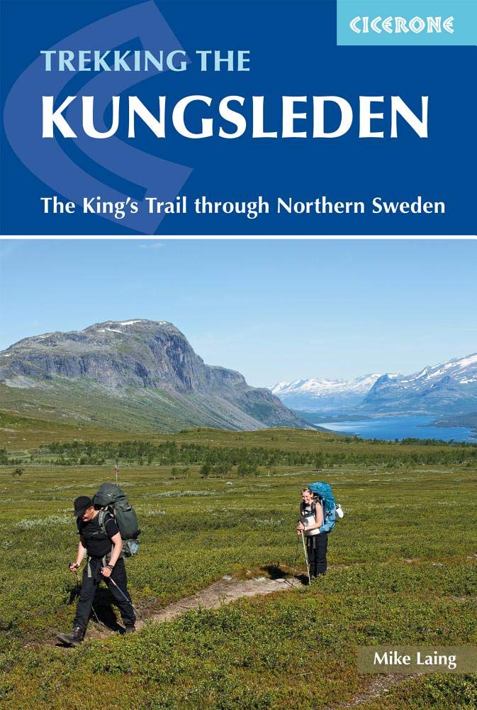
- Trekking the Kungsleden
- The King's Trail through Northern Sweden Leer más
- Also available from:
- De Zwerver, Netherlands
De Zwerver
Netherlands
2021
Netherlands
2021
- Wandelgids Trekking The Kungsleden | Cicerone
- Guide to the Kungsleden (King's Trail), Sweden's premier long-distance trek. Lying mostly within the Arctic Circle, the 460km route across Lappland is presented in 28 stages but can be walked in shorter sections if preferred. Includes an optional ascent of Kebnekaise, Sweden's highest peak, plus notes on huts and wild camping. Leer más


The Book Depository
United Kingdom
2017
United Kingdom
2017
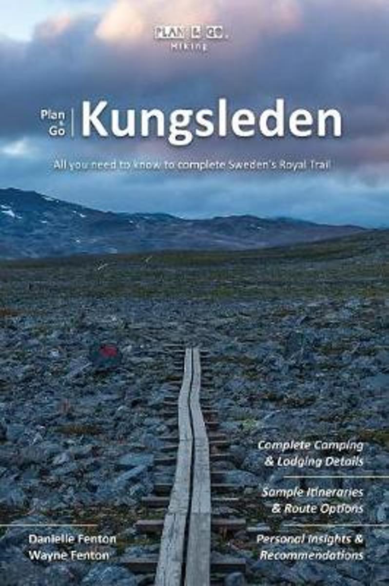
- Plan & Go Kungsleden
- All you need to know to complete Sweden's Royal Trail Leer más
- Also available from:
- Bol.com, Netherlands
- Bol.com, Belgium
- De Zwerver, Netherlands
Bol.com
Netherlands
2017
Netherlands
2017
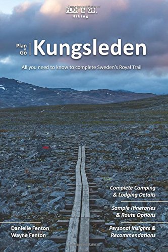
- Plan & Go Kungsleden
- Plan & Go | Kungsleden is the definitive guide to hiking Sweden's famous King's Trail between Abisko and Hemavan. The book clearly outlines what to expect from a journey on the 'Royal Trail' and provides all the essential planning information to save you time and effort with your own preparations. Leer más
Bol.com
Belgium
2017
Belgium
2017
- Plan & Go Kungsleden
- Plan & Go | Kungsleden is the definitive guide to hiking Sweden's famous King's Trail between Abisko and Hemavan. The book clearly outlines what to expect from a journey on the 'Royal Trail' and provides all the essential planning information to save you time and effort with your own preparations. Leer más
De Zwerver
Netherlands
2017
Netherlands
2017
- Wandelgids Plan & Go Kungsleden | Sandiburg Press
- All you need to know to complete Sweden's Royal Trail Leer más

Bol.com
Netherlands
Netherlands
- Walking Distance
- Long-distance walking is good for you and good for the earth... But most of all, walking is a joyful celebration of life and the diverse, beautiful, and curious world in which we live. -from the Introduction Walking is simple, but it can also be profound. In an increasingly complex and frantic world, walking can simplify our lives. It... Leer más
- Also available from:
- Bol.com, Belgium
Bol.com
Belgium
Belgium
- Walking Distance
- Long-distance walking is good for you and good for the earth... But most of all, walking is a joyful celebration of life and the diverse, beautiful, and curious world in which we live. -from the Introduction Walking is simple, but it can also be profound. In an increasingly complex and frantic world, walking can simplify our lives. It... Leer más
Bol.com
Netherlands
2009
Netherlands
2009
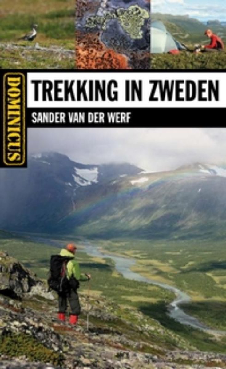
- Dominicus trekking in Zweden
- In deze gids worden de mooiste wandelgebieden van Zweden uitgebreid besproken. Er is veel aandacht voor berggebieden in het noordelijke Lapland, maar ook wandelen in centraler Zweden komt ruimschoots aan bod.In dit boek zijn 27 bergwandeltochten opgenomen: 12 dagtochten en 15 meerdaagse tochten. Uiteraard worden bekende routes zoals het... Leer más
- Also available from:
- Bol.com, Belgium
Bol.com
Belgium
2009
Belgium
2009
- Dominicus trekking in Zweden
- In deze gids worden de mooiste wandelgebieden van Zweden uitgebreid besproken. Er is veel aandacht voor berggebieden in het noordelijke Lapland, maar ook wandelen in centraler Zweden komt ruimschoots aan bod.In dit boek zijn 27 bergwandeltochten opgenomen: 12 dagtochten en 15 meerdaagse tochten. Uiteraard worden bekende routes zoals het... Leer más
Bol.com
Netherlands
2014
Netherlands
2014
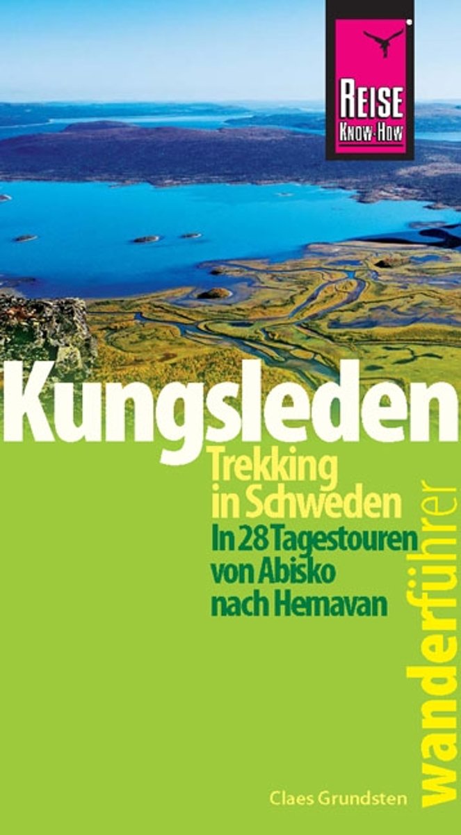
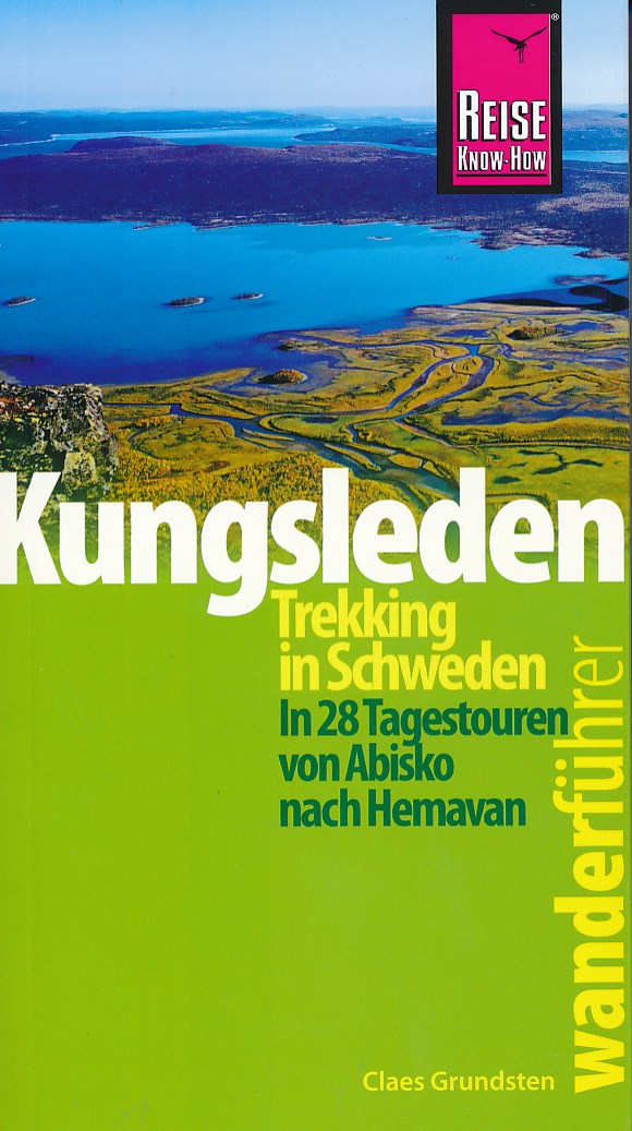
- Reise Know-How Wanderf hrer Kungsleden - Trekking in Schweden In 28 Tagestouren von Abisko nach Hemavan
- Vandra Kungsleden ist der Klassiker der Fj llwanderer, der hier in aktualisierter, erweiterter Auflage und mit neuen Bildern vorliegt. Dieser Trekkingf hrer beschreibt den gesamten Kungsleden zwischen Abisko und Hemavan sowie eine Vielzahl von Tagestouren, die ihren Ausgangspunkt an den Bergh tten haben. Sie erfahren alles Notwendige f r die... Leer más
- Also available from:
- Bol.com, Belgium
- De Zwerver, Netherlands
Bol.com
Belgium
2014
Belgium
2014
- Reise Know-How Wanderf hrer Kungsleden - Trekking in Schweden In 28 Tagestouren von Abisko nach Hemavan
- Vandra Kungsleden ist der Klassiker der Fj llwanderer, der hier in aktualisierter, erweiterter Auflage und mit neuen Bildern vorliegt. Dieser Trekkingf hrer beschreibt den gesamten Kungsleden zwischen Abisko und Hemavan sowie eine Vielzahl von Tagestouren, die ihren Ausgangspunkt an den Bergh tten haben. Sie erfahren alles Notwendige f r die... Leer más
De Zwerver
Netherlands
2014
Netherlands
2014
- Wandelgids Kungsleden - Trekking in Schweden | Reise Know-How Verlag
- Goede wandelgids van het beroemde Kungsleden. Voorzien van veel praktische informatie en uitstekend kaartmateriaal. kortom: een zeer complete wandelgids. Vandra Kungsleden ist der Klassiker der Fjällwanderer, der hier in aktualisierter und mit neuen Bildern erweiterter Auflage vorliegt. Dieser Trekkingführer voller Reise Know-Howbeschreibt den... Leer más
Bol.com
Netherlands
Netherlands
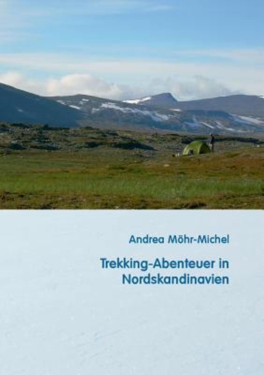
- Trekking-Abenteuer in Nordskandinavien
- Die nach schwedischen Normen zertifizierte Trekkingf hrerin Andrea M hr-Michel gibt in diesem Buch ihre Erfahrungen aus unz hligen Sommer- und Winter-Trekkingtouren weiter. Hier findet man alles, was es f r die Vorbereitung und Durchf hrung von Touren im Norden Skandinaviens braucht: Ausr stung, Technik, ausgew hlte Routen f r Einsteiger und f... Leer más
- Also available from:
- Bol.com, Belgium
Bol.com
Belgium
Belgium
- Trekking-Abenteuer in Nordskandinavien
- Die nach schwedischen Normen zertifizierte Trekkingf hrerin Andrea M hr-Michel gibt in diesem Buch ihre Erfahrungen aus unz hligen Sommer- und Winter-Trekkingtouren weiter. Hier findet man alles, was es f r die Vorbereitung und Durchf hrung von Touren im Norden Skandinaviens braucht: Ausr stung, Technik, ausgew hlte Routen f r Einsteiger und f... Leer más
De Zwerver
Netherlands
2019
Netherlands
2019
- Wandelgids Kungsleden - Zweden | Conrad Stein Verlag
- Handzaam boekje met de routebeschrijving inclusief een heleboel praktische informatie. De beschrijving is uitstekend, maar kaarten zijn beperkt en schetsmatig aanwezig. Duits. 160 Seiten, 13 Karten, 36 farbige Abbildungen, 8 farbige Höhenprofile Fast 1.000 km zieht sich der bekannte Wanderweg, der Kungsleden (",Königspfad",), durch... Leer más
Bol.com
Netherlands
Netherlands
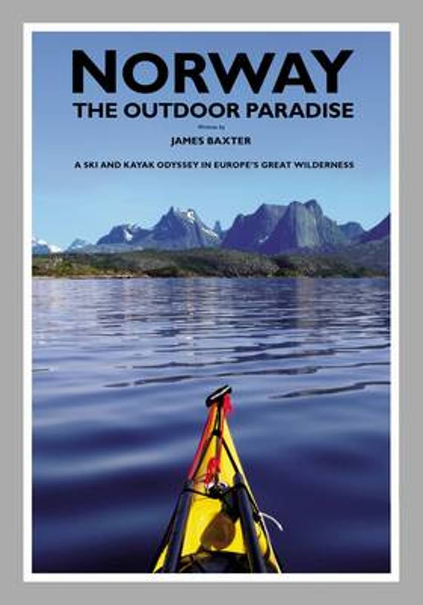
- Norway the Outdoor Paradise
- This book is the story of James Baxter's 2700 kilometre ski up the entire length of Norway, followed by his 3100 kilometre kayak down the whole of Norway's coast. This eight month journey took him through Europe's most pristine natural wonders; the empty snow-covered spine of Scandinavia's mountain chain, the Arctic taiga forests and tundra,... Leer más
- Also available from:
- Bol.com, Belgium
Bol.com
Belgium
Belgium
- Norway the Outdoor Paradise
- This book is the story of James Baxter's 2700 kilometre ski up the entire length of Norway, followed by his 3100 kilometre kayak down the whole of Norway's coast. This eight month journey took him through Europe's most pristine natural wonders; the empty snow-covered spine of Scandinavia's mountain chain, the Arctic taiga forests and tundra,... Leer más
Bol.com
Netherlands
2010
Netherlands
2010
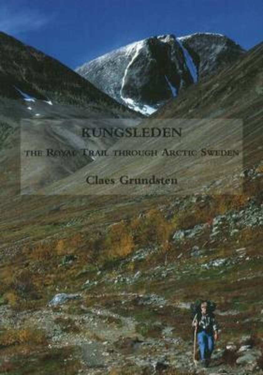
- Kungsleden
- An English-language guide to one of Europe's finest long-distance paths. Leer más
- Also available from:
- Bol.com, Belgium
Bol.com
Belgium
2010
Belgium
2010
- Kungsleden
- An English-language guide to one of Europe's finest long-distance paths. Leer más

- Also available from:
- Bol.com, Netherlands
- Bol.com, Belgium
Bol.com
Netherlands
Netherlands
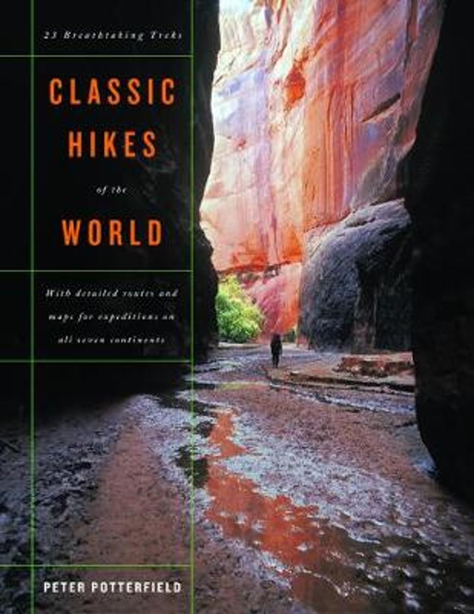
- Classic Hikes of the World
- This book will help you realize your dreams of hiking among the world's highest peaks and most scenic canyons, discovering wilderness far from the clamor of civilization, encountering rare birds and animals, glorying in sunsets over glacier-clad ranges, and feeling the joy and achievement of hiking some of the world's most spectacular trails.... Leer más
Bol.com
Belgium
Belgium
- Classic Hikes of the World
- This book will help you realize your dreams of hiking among the world's highest peaks and most scenic canyons, discovering wilderness far from the clamor of civilization, encountering rare birds and animals, glorying in sunsets over glacier-clad ranges, and feeling the joy and achievement of hiking some of the world's most spectacular trails.... Leer más
Bol.com
Netherlands
2010
Netherlands
2010
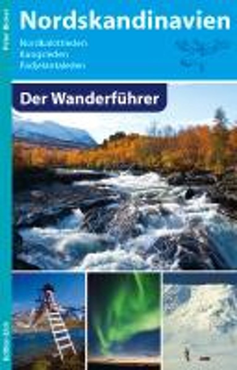
- Nordskandinavien - Der Wanderführer
- Aktualisierte und erweiterte Neuauflage: Dieses Buch enthält die erste vollständige Beschreibung des 1993 eingeweihten, sehr populären Nordkalottleden. 800 Kilometer führt dieser schönste und längste Wanderweg Nordskandinaviens durch die Berge Norwegens, Schwedens und Finnlands, überquert dabei 15 Mal die Grenzen und führt auch über den... Leer más
- Also available from:
- Bol.com, Belgium
Bol.com
Belgium
2010
Belgium
2010
- Nordskandinavien - Der Wanderführer
- Aktualisierte und erweiterte Neuauflage: Dieses Buch enthält die erste vollständige Beschreibung des 1993 eingeweihten, sehr populären Nordkalottleden. 800 Kilometer führt dieser schönste und längste Wanderweg Nordskandinaviens durch die Berge Norwegens, Schwedens und Finnlands, überquert dabei 15 Mal die Grenzen und führt auch über den... Leer más
De Zwerver
Netherlands
2024
Netherlands
2024
- Wandelgids Lappland - Lapland | Rother Bergverlag
- Uitstekende wandelgids met een groot aantal dagtochten in dal en hooggebergte. Met praktische informatie en beperkt kaartmateriaal! Wandelingen in verschillende zwaarte weergegeven in rood/blauw/zwart. Lappland ist die Heimat des Urvolkes der Samis, der Rentiere, der Fjälls, der Bären sowie eines unermesslichen Reichtums an Natur. Die Region,... Leer más
Mapas

Stanfords
United Kingdom
2015
United Kingdom
2015
- Munkedal Lysekil Tjorn
- This map of Munkedal Lysekil Tjorn in 1:50,000 is part of a series of topographic maps from Norstedts Kartforlaget which includes 28 outdoor maps covering the mountain areas and popular recreation areas in southern Sweden. The maps in this series have a new look and are printed on a durable and water resistant paper. Cartography, material and... Leer más

Stanfords
United Kingdom
2015
United Kingdom
2015
- Stockholms Skargard Norstedts Outdoor 27
- This map of Stockholms Skargard in 1:50,000 is part of a series of topographic maps from Norstedts Kartforlaget which includes 28 outdoor maps covering the mountain areas and popular recreation areas in southern Sweden. The maps in this series have a new look and are printed on a durable and water resistant paper. Cartography, material and... Leer más

Stanfords
United Kingdom
United Kingdom
- Fulufjället - Trysil - Sälen Norstedts Outdoor 14
- This map of Fulufjallet Trysil Salen in 1:75,000 is part of a series of topographic maps from Norstedts Kartforlaget which includes 28 outdoor maps covering the mountain areas and popular recreation areas in southern Sweden. The maps in this series have a new look and are printed on a durable and water resistant paper. Cartography, material and... Leer más

Stanfords
United Kingdom
2015
United Kingdom
2015
- Orskar Grisslehamn Furusund
- This map of Orskar Grisslehamn Furusund in 1:50,000 is part of a series of topographic maps from Norstedts Kartforlaget which includes 28 outdoor maps covering the mountain areas and popular recreation areas in southern Sweden. The maps in this series have a new look and are printed on a durable and water resistant paper. Cartography, material... Leer más
Stanfords
United Kingdom
United Kingdom
- Börgefjell - Kittelfjäll - Fatmomakke Norstedts Outdoor 7
- This map of Borgefjell Kittelfjall Fatmomakke in 1:75,000 is part of a series of topographic maps from Norstedts Kartforlaget which includes 28 outdoor maps covering the mountain areas and popular recreation areas in southern Sweden. The maps in this series have a new look and are printed on a durable and water resistant paper. Cartography,... Leer más

Stanfords
United Kingdom
2015
United Kingdom
2015
- Arkosund Gryt Vastervik
- This map of Arkosund Gryt Vastervik in 1:50,000 is part of a series of topographic maps from Norstedts Kartforlaget which includes 28 outdoor maps covering the mountain areas and popular recreation areas in southern Sweden. The maps in this series have a new look and are printed on a durable and water resistant paper. Cartography, material and... Leer más
Stanfords
United Kingdom
United Kingdom
- Saxnäs - Borgafjäll - Gäddede Norstedts Outdoor 8
- This map of Saxnas Borgafjall Gaddede in 1:75,000 is part of a series of topographic maps from Norstedts Kartforlaget which includes 28 outdoor maps covering the mountain areas and popular recreation areas in southern Sweden. The maps in this series have a new look and are printed on a durable and water resistant paper. Cartography, material... Leer más

Stanfords
United Kingdom
2015
United Kingdom
2015
- Ammarnas - Hemavan - Lill-Bjorkvattnet Norstedts Outdoor 6
- This map of Ammarnas Hemavan Lill Bjorkvattnet in 1:75,000 is part of a series of topographic maps from Norstedts Kartforlaget which includes 28 outdoor maps covering the mountain areas and popular recreation areas in southern Sweden. The maps in this series have a new look and are printed on a durable and water resistant paper. Cartography,... Leer más

Stanfords
United Kingdom
2015
United Kingdom
2015
- Charlottenberg Arvika
- This map of Charlottenberg Arvika in 1:50,000 is part of a series of topographic maps from Norstedts Kartforlaget which includes 28 outdoor maps covering the mountain areas and popular recreation areas in southern Sweden. The maps in this series have a new look and are printed on a durable and water resistant paper. Cartography, material and... Leer más

Stanfords
United Kingdom
2015
United Kingdom
2015
- Mariefred Flen Nykoping
- This map of Mariefred Flen Nykoping in 1:50,000 is part of a series of topographic maps from Norstedts Kartforlaget which includes 28 outdoor maps covering the mountain areas and popular recreation areas in southern Sweden. The maps in this series have a new look and are printed on a durable and water resistant paper. Cartography, material and... Leer más

Stanfords
United Kingdom
2015
United Kingdom
2015
- Tocksfors - Arjang - Nysater Norstedts Outdoor 16
- This map of Tocksfors Arjang Nysater in 1:50,000 is part of a series of topographic maps from Norstedts Kartforlaget which includes 28 outdoor maps covering the mountain areas and popular recreation areas in southern Sweden. The maps in this series have a new look and are printed on a durable and water resistant paper. Cartography, material and... Leer más

Stanfords
United Kingdom
2015
United Kingdom
2015
- Malaren
- This map of Malaren in 1:50,000 is part of a series of topographic maps from Norstedts Kartforlaget which includes 28 outdoor maps covering the mountain areas and popular recreation areas in southern Sweden. The maps in this series have a new look and are printed on a durable and water resistant paper. Cartography, material and printing quality... Leer más
Stanfords
United Kingdom
United Kingdom
- Ramundberget - Funäsdalen - Vemdalen Norstedts Outdoor 12
- This map of Ramundberget Funasdalen Vemdalen in 1:75,000 is part of a series of topographic maps from Norstedts Kartforlaget which includes 28 outdoor maps covering the mountain areas and popular recreation areas in southern Sweden. The maps in this series have a new look and are printed on a durable and water resistant paper. Cartography,... Leer más
Stanfords
United Kingdom
United Kingdom
- Rogen - Grövelsjön - Idre Norstedts Outdoor 13
- This map of Rogen Grovelsjon Idre in 1:75,000 is part of a series of topographic maps from Norstedts Kartforlaget which includes 28 outdoor maps covering the mountain areas and popular recreation areas in southern Sweden. The maps in this series have a new look and are printed on a durable and water resistant paper. Cartography, material and... Leer más

Stanfords
United Kingdom
United Kingdom
- Abisko - Kebnekaise Kungsleden Map & Guide Set 1
- Kungsleden - easily accessible hike through Sweden`s magical mountain world!Kungsleden Kart & Guide is a series of 5 parts between Abisko and Hemavan, which have been developed in collaboration with the Swedish Tourist Association. Each part consists of a set with a completely water-resistant mountain map in scale 1:50 000 and an accompanying... Leer más
- Also available from:
- The Book Depository, United Kingdom
- De Zwerver, Netherlands

The Book Depository
United Kingdom
United Kingdom
- Abisko Kebnekaise Kungsleden 1 map + guide
- Kungsleden - easily accessible hike through Sweden`s magical mountain world!Kungsleden Kart & Guide is a series of 5 parts between Abisko and Hemavan, which have been developed in collaboration with the Swedish Tourist Association. Each part consists of a set with a completely water-resistant mountain map in scale 1:50 000 and an accompanying... Leer más
De Zwerver
Netherlands
Netherlands
- Wandelkaart 1 Abisko - Kebnekaise Kungsleden | Norstedts
- Kungsleden - easily accessible hike through Sweden`s magical mountain world!Kungsleden Kart & Guide is a series of 5 parts between Abisko and Hemavan, which have been developed in collaboration with the Swedish Tourist Association. Each part consists of a set with a completely water-resistant mountain map in scale 1:50 000 and an accompanying... Leer más