
Italia
Descripción

Italy is a country of enormous diversity and contrast. Most famous are the Alps. Coming from the efficient neatness of Switzerland or Austria, the Italian Alps are wilder and at the same time more tranquil, like stepping back in time. The most beautiful and popular areas are Gran Paradiso, Val Grande, Stelvio and the Dolomites.
In addition there are countless national parks, all very much worth hiking through. A series of mountain ranges runs from north to south like a backbone, starting from the hills of Tuscany, to the Apennines and Abruzzo to Italy's toe, Calabria. Southern Italy, too far for many tourists, has several attractive hiking regions, like Pollino and Aspromonte.
In the Alps you can walk from hut to hut, elsewhere you can do day hikes, such is the rule in general. However some genuine long distance hiking trails are under construction. European long distance trail E10 in the Alps, which coincides with the 1000km long Grande Alpine Trail and the international Via Alpina. The second large project is the E1, which coincides with the Grand Apennine Mountains Trail and the Ligurian Mountains High Trail. If this trail is ever completed, you can start from Como passing Genova and continue all the way to Reggio di Calabria and Palermo or Siracuse on Sicily. The third large project means to join all these trails into one 6000km long Sentiero Italia. Last but not least, there is the Alta Via in the Dolomites: splendid walking.
Mountain huts abound in the Alps. Hiking can be done all summer, from June until well into October. Further south spring is the best hiking season. In April you will still get stuck in the snow up in the mountains. Autumn is supposed to be fine as well, but alas, as one hiker put it: "you wake up to the sounds of church bells and gunfire". As hunters, Italians are best avoided.
Mapa


Senderos
- Alta Via dei GigantiGPX
- Alta Via dei Monti LiguriGPX
- Alta Via Della Valle d'Aosta No 1
- Alta Via Della Valle d'Aosta No 2
- Alta Via Dolomiti 1GPX
- Alta Via Dolomiti 10
- Alta Via Dolomiti 2GPX
- Alta Via Dolomiti 3GPX
- Alta Via Dolomiti 4GPX
- Alta Via Dolomiti 5
- Alta Via Dolomiti 6GPX
- Alta Via Dolomiti 7
- Alta Via Dolomiti 8
- Alta Via Dolomiti 9
- Bassa Via del GardaGPX
- Cinque Terre
- E1GPX
- E10GPX
- E12GPX
- E5GPX
- E7GPX
- Florence - Siena
- GoethewegGPX
- GR58 - Tour du QueyrasGPX
- Grande Escursione AppenninicaGPX
- Grande Traversata del Gran Paradiso
- Grande Traversata delle AlpiGPX
- Meraner HöhenwegGPX
- Pfunderer HöhenwegGPX
- Santiago de Compostela Pilgrims WayGPX
- Südalpenweg - 3GPX
- SeealpentourGPX
- Sentiero della PaceGPX
- Sentiero ItaliaGPX
- Sentiero Roma
- Tiroler Höhenweg
- TMB - Tour du Mont BlancGPX
- Tour des CombinsGPX
- Tour des Grands Barrages
- Tour du MatterhornGPX
- Tour Monte RosaGPX
- Traumpfad München-VenedigGPX
- Via AlpinaGPX
- Via FrancigenaGPX
- Via SacraGPX
- Via SbrinzGPX
- Via SplugaGPX
- Via ValtellinaGPX
Regiones
- Abruzzi
- Adamello
- Aeolian Islands
- Alpi Biellesi e Cusiane
- Alpi di Livigno
- Alpi Liguri
- Alpi Marittime
- Alpi Oróbie e Bergamasche
- Alpi Sarentini
- Alpi Vicentine
- Alps
- Amalfi Coast
- Appennini
- Apulia
- Ötztal
- Bernina
- Brenta
- Calabria
- Cilento
- Defereggengebirge
- Dolomiti
- Dolomiti di Fiemme
- Elba
- Friuli
- Garda
- Gran Paradiso
- Grand Combin
- Julische Alpen
- Karawanken
- Karnischer Alpen
- Lago di Como
- Lago Maggiore
- Liguria
- Lombardia
- Matterhorn
- Moncenisio
- Monginevro
- Mont Blanc
- Monte Leone
- Monte Rosa
- Monti Sibillini
- Monviso
- Nonstaler Alpen
- Ortler
- Paganella
- Platta Gruppe
- Presanella
- Rieserfernergruppe
- Sardinia
- Südtirol
- Sesvenna Gruppe
- Sicilia
- Sobretta
- Stelvio
- Stubai
- Texelgruppe
- Tirol
- Toscana
- Trentino
- Umbria
- Val d'Aosta
- Val Grande
- Val Venosta
- Valle d'Aosta
- Veneto
- Vinschgau
- Zillertal
Montañas


Enlaces
Datos
Informes
Guías y mapas
Hospedaje
Organizaciones
Operadores turísticos
GPS
Otro
Libros

United Kingdom
- Touring the Italian Front 1917-1919
- The guide describes the ground and operations covered by the British, French and US Expeditionary Forces deployed from France to the area north of Venice between November 1917 and Spring 1919. These forces supported the Italians after their disastrous defeat at Caporetto and helped stem the Austrian and German onslaught. This is the first guide... Leer más

United Kingdom
- Grove
- An unnamed narrator, recently bereaved, travels to Olevano, a small village southeast of Rome. It is winter, and from her temporary residence on a hill between village and cemetery, she embarks on walks and outings, exploring the banal and the sublime with equal dedication and intensity. She recalls her travels in 1970s Italy, which she often... Leer más

United Kingdom
- Walking in Italy
- Walking in Italy is a unique guide written for those who want to experience the delights of Italy’s finest towns cities and landscapes. The best way to appreciate Italy is undoubtedly on foot, whether you are visiting a city for the first time or venturing out into the Italian countryside. You don’t need to be an athlete to enjoy a... Leer más

United Kingdom
2015
- Italian Lakes Walking: Garda, Maggiore, Como and Iseo
- This guidebook describes 50 walks around Lakes Como, Iseo, Garda and Maggiore in Northern Italy. The picturesque routes are accessible by public transport from popular centres including Bellagio, Riva, Stresa and Cannero, and range from 2 to 14km in length. There are gentle lakeside strolls, and numerous ridge routes and traverses as well as... Leer más

United Kingdom
- Bolzano and Environs Kompass 54
- Map No. 54, Bolzano and Environs, from Kompass, printed on waterproof and tear-resistant synthetic paper in a series of walking maps of selected areas of Italy at 1:50,000, with hiking routes on a topographic base, various types of accommodation, recreational facilities, places of interest, etc. Kompass are Europe’s largest publishers of... Leer más

United Kingdom
- Cortina d`Ampezzo Kompass 55
- Map No. 55, Cortina d`Ampezzo - with a panorama map on the reverse, from Kompass, printed on sturdy, waterproof and tear-resistant synthetic paper in their series of walking maps of selected areas of Italy at 1:50,000, with hiking routes on a topographic base, various types of accommodation, recreational facilities, places of interest, etc.... Leer más

United Kingdom
- Pale di San Martino - Primiero San Martino di Castrozza - Paneveggio - Valle del Vanoi Kompass 622
- Pale di S.Martino - Fiera di Primiero - Panaveggio - Valle del Vanoi area at 1:25,000 on a durable, waterproof and tear-resistant map from Kompass in their series of detailed maps of the Dolomites.CARTOGRAPHY: Kompass maps of the Dolomites at 1:25,000 have contours at 25-m intervals. An overprint shows local and long-distance footpaths,... Leer más


United Kingdom
2021
- Lonely Planet Best Day Walks Italy
- Lonely Planet`s Best Day Walks Italy is your passport to 60 easy escapes into nature. Stretch your legs outside the city by picking a hike that works for you, from just a couple of hours to a full day, from easy to hard. Hike the Dolomites, explore the Italian Lakes, and stroll Sardinia`s coast. Get to the heart of Italy and begin your journey... Leer más
- Also available from:
- The Book Depository, United Kingdom
- De Zwerver, Netherlands


United Kingdom
2015
- The Way of St Francis
- Via di Francesco: From Florence to Assisi and Rome Leer más
- Also available from:
- De Zwerver, Netherlands

Netherlands
2019
- Wandelgids - Pelgrimsroute The Way of St Francis - Via Francigena | Cicerone
- Guidebook to walking the Way of St Francis, Via di Francesco. 550km pilgrimage from Florence, through Assisi to Rome through Central Italy visiting key sites from the saint's life. Described in 28 stages, the guide to the month-long route includes detailed maps, profiles and information about all the shrines, churches and towns along the way. Leer más

United Kingdom
2018
- Florence Walks
- Explore Florence on foot with these wonderful and insightful routes. Plan your time with the unique bird`s-eye view illustrations that capture the spirit of this amazing city. Following these walks is like being shown around the city by an exceptionally knowledgeable friend. They`re fun and they`ll help you fit it all together. And you`ll... Leer más
- Also available from:
- The Book Depository, United Kingdom
- De Zwerver, Netherlands


Netherlands
2016
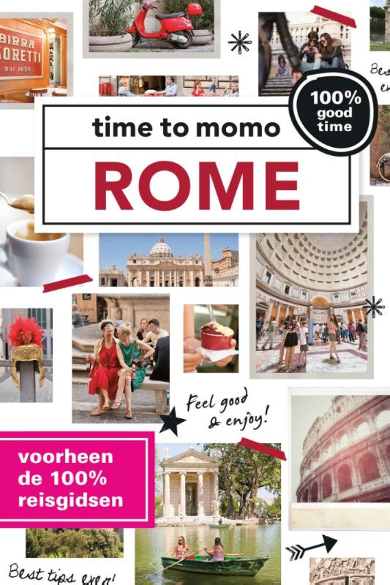
- time to momo - Rome
- Dit is de vernieuwde versie van de 100% Rome-gids! Jij gaat Rome ontdekken! Rome is volgens de legende gesticht in 753. v.Chr. Toch is de stad na bijna 2800 jaar nog altijd actueel. Antieke theaters veranderen in restaurants, arbeiderswijken worden hippe yuppenbuurten. Het Colosseum, het Forum Romanum, het Vaticaan en de Spaanse Trappen: het... Leer más
- Also available from:
- Bol.com, Belgium
Belgium
2016
- time to momo - Rome
- Dit is de vernieuwde versie van de 100% Rome-gids! Jij gaat Rome ontdekken! Rome is volgens de legende gesticht in 753. v.Chr. Toch is de stad na bijna 2800 jaar nog altijd actueel. Antieke theaters veranderen in restaurants, arbeiderswijken worden hippe yuppenbuurten. Het Colosseum, het Forum Romanum, het Vaticaan en de Spaanse Trappen: het... Leer más
Netherlands
2010
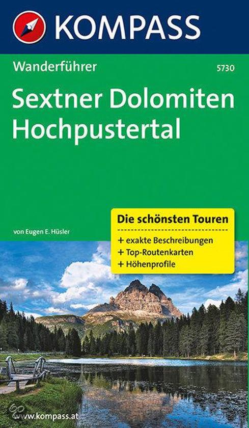
- WF5730 Dolomiten, Sextener Hochpustetal Kompass
- De Kompass wandelgids + kaart geeft een overzicht van alle wandelroutes in het gebied met nauwkeurige routeaanwijzingen en hoogteaanduidingen, De extra grote kaart, schaal 1:35 000, is ideaal om van te voren uw route uit te stippelen en om onderweg te gebruiken • naast de bekende bestemmingen, worden ook de minder bekende vermeld • openbaar... Leer más
- Also available from:
- Bol.com, Belgium
Belgium
2010
- WF5730 Dolomiten, Sextener Hochpustetal Kompass
- De Kompass wandelgids + kaart geeft een overzicht van alle wandelroutes in het gebied met nauwkeurige routeaanwijzingen en hoogteaanduidingen, De extra grote kaart, schaal 1:35 000, is ideaal om van te voren uw route uit te stippelen en om onderweg te gebruiken • naast de bekende bestemmingen, worden ook de minder bekende vermeld • openbaar... Leer más
Netherlands
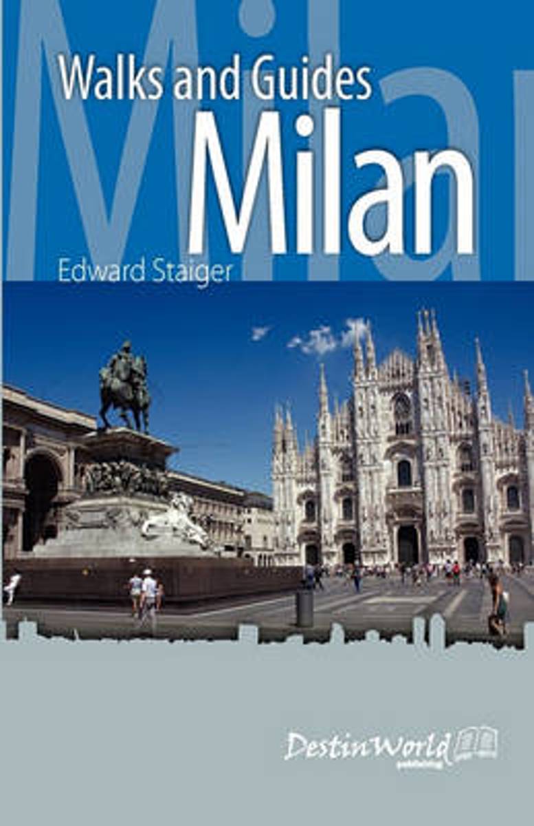
- Milan Walks and Guides
- One of the miracles of Milan is how physically accessible it can be. One can easily depend on its network of public transportation (the most extensive and reliable in Italy), but as this book proves - in Milan, one can walk. In walking, one can peruse, one can enter into the city as into a complete five-senses experience. This book is divided... Leer más
- Also available from:
- Bol.com, Belgium
Belgium
- Milan Walks and Guides
- One of the miracles of Milan is how physically accessible it can be. One can easily depend on its network of public transportation (the most extensive and reliable in Italy), but as this book proves - in Milan, one can walk. In walking, one can peruse, one can enter into the city as into a complete five-senses experience. This book is divided... Leer más
Netherlands
2013
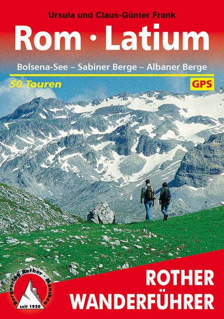
- Wandelgids 308 Rom - Rome / Latium - Lazio | Rother Bergverlag
- Goede duitstalige wandelgids. Veel dagtochten, met gradaties en kleuren in zwaarte gerangschikt. Veel praktische informatie. Handzaam formaat. Lazio (deutsch Latium) ist als Name eines Fußballvereins bekannter denn als Wandergebiet. Zu Unrecht! Goethe begeisterte sich für die Landschaft um Rom so sehr, dass er sich in der römischen Campagna... Leer más
Mapas

United Kingdom
- Livigno and Environs
- Livigno and its environs on a detailed, contoured and GPS compatible map at 1:25,000 from Litografia Artistica Cartographical in their Global Map imprint, highlighting hiking trails, huts, ski lifts, etc. The map is double-sided, with a very generous overlap, and extends from the Swiss approaches to the Lago di Livigno Dam to Rifigio Dosde, and... Leer más

United Kingdom
- Colli Euganei - Abano e Montegrotto Terme Tabacco 060
- Colli Euganei - Abano & Montegrotto Terme area in a series of Tabacco maps at 1:25,000 covering the Dolomites and the mountains of north-eastern Italy - Stanfords’ most popular coverage for this region, with excellent cartography and extensive overprint for hiking routes and other recreational activities, local bus stops, etc. Additional... Leer más

United Kingdom
- Valle di Bognanco - NP Alpe Veglia Geo4Map 8
- 1:25,000 hiking map to the Valle di Bognanco including Iselle, Crevoladossola, Domodossola, Villadossola and Antronapiana. Published in association with the CAI, the Italian Alpine Club, who are responsible for the trails. Trails are marked on the map. The key information and more detailed information on the rear of the sheet are in Italian,... Leer más

United Kingdom
- Pescara
- Pescara on an indexed street plan at 1:9,000 from Litografia Artistica Cartografica in their Globalmap imprint. 38 monuments including historic buildings and churches, cultural or educational institutions, and important municipal buildings or facilities are numbered and listed next to the plan. On the reverse two large, separately indexed plans... Leer más

United Kingdom
- Val de Peio - Val di Rabbi - Val di Sole Tabacco 048
- Val de Peio - Val di Rabbi - Val di Sole area in a series of Tabacco maps at 1:25,000 covering the Dolomites and the mountains of north-eastern Italy - Stanfords’ most popular coverage for this region, with excellent cartography and extensive overprint for hiking routes and other recreational activities, local bus stops, etc. Additional... Leer más

United Kingdom
- Siena - Volterra - Massa Marittima - Roccastrada Kompass 2462
- Siena - Volterra - Massa Marittima - Rocca Strada map at 1:50,000 from Kompass, printed on durable, waterproof and tear-resistant synthetic paper. Coverage includes Colle di Va d’Elsa, Casole d’Elsa, Metallifere hills, etc. Contours are at 40m intervals, with a 2-km UTM grid. Extensive overprint includes GEA - Grande Escursione Appenninica,... Leer más

United Kingdom
- Italy IGN ITA01
- Topographic survey of France at 1:25,000 in IGN`s excellent TOP25 / Série Bleue series. All the maps are GPS compatible, with a 1km UTM grid plus latitude and longitude lines at 5’ intervals. Contours are at 5m intervals except for mountainous areas where the maps have contours at 10m intervals, vividly enhanced by hill shading and graphics for... Leer más

United Kingdom
- Cinque Terre - Golfo del Tigullio: La Spezia - Sestri Levante - Rapallo - Genoa 50K IGC Map No. 23
- Cinque Terre - Golfo del Tigullio area of the Italian Riviera from genoa to la Spezia including Sestri Levante and Rapallo in a series contoured hiking maps at 1:50,000 with local trails, long-distance footpaths, mountain accommodation, etc. from the Turin based Istituto Geografico Centrale.Maps in this series have contours at 50m intervals,... Leer más

United Kingdom
- Val d`Arbia, Ombrone and Orcia
- The valleys of Arbia, Ombrone and Orcia in Tuscany directly south of Siena on a detailed contoured map at 1:50,000 from Litografia Artistica Cartografica highlighting the course of La Via Francigena and other waymarked local trails.The map covers an area from Siena southwards to Castel del Piano including several nature reserves. Topography is... Leer más

United Kingdom
- Levico - Altopiani di Folgaria Lavarone e Luserna Tabacco 057
- Levico - Altopiani di Folgaria Lavarone e Luserna area in a series of Tabacco maps at 1:25,000 covering the Dolomites and the mountains of north-eastern Italy - Stanfords’ most popular coverage for this region, with excellent cartography and extensive overprint for hiking routes and other recreational activities, local bus stops, etc.... Leer más

United Kingdom
- Valsesia - Riva Valdobbia - Campertogno - Mollia - Rassa - Scopelllo
- 1:25,000 hiking map to the south west of Valsesia including Riva Valdobbia, Campertogno, Mollia, Rassa, Scopelllo.Published in association with the CAI, the Italian Alpine Club, who are responsible for the trails. Trails are marked on the map. The key information and more detailed information on the rear of the sheet are in Italian, German and... Leer más

United Kingdom
- Valle Anzasca - Vanzone - Piedimulera SUPERCEDED
- 1:25,000 hiking map covering the east end of the Valle Anzasca, centred on Pieve Vergonte, including Villadossola and Anzola d`Ossola. Published in association with the CAI, the Italian Alpine Club, who are responsible for the hiking trails. Trails are marked on the map. The key information and more detailed information on the rear of the sheet... Leer más

United Kingdom
- Alta Badia - Arabba - Marmolada Tabacco 07
- Alta Badia - Arabba - Marmolada area in a series of Tabacco maps at 1:25,000 covering the Dolomites and the mountains of north-eastern Italy - Stanfords’ most popular coverage for this region, with excellent cartography and extensive overprint for hiking routes and other recreational activities, local bus stops, etc. Additional overprint in... Leer más

United Kingdom
- Marsala Global Map Street Plan
- Marsala on an indexed street plan at 1:6,000 from Litografia Artistica Cartografica in their Global Map edition. 34 monuments including historic buildings and churches, cultural or educational institutions, and important municipal buildings or facilities are numbered and listed next to the plan. An inset covers Isola di San Pantaleo (Mozia)... Leer más

United Kingdom
- Val Gardena / Groden - Alpe di Siusi / Seiseralm Tabacco 05
- Val Gardena/Gröden - Alpe di Siusi/Seiseralm area in a series of Tabacco maps at 1:25,000 covering the Dolomites and the mountains of north-eastern Italy - Stanfords’ most popular coverage for this region, with excellent cartography and extensive overprint for hiking routes and other recreational activities, local bus stops, etc. Additional... Leer más