Long Trail
Descripción
- Name Long Trail
- Distancia de sendero 426 km, 265 millas
- Duración en días 22 días
- Clasificación Traildino MW, Caminata moderada, sendero de mochileros
- Clasificación Travesía de refugios T1, Caminata
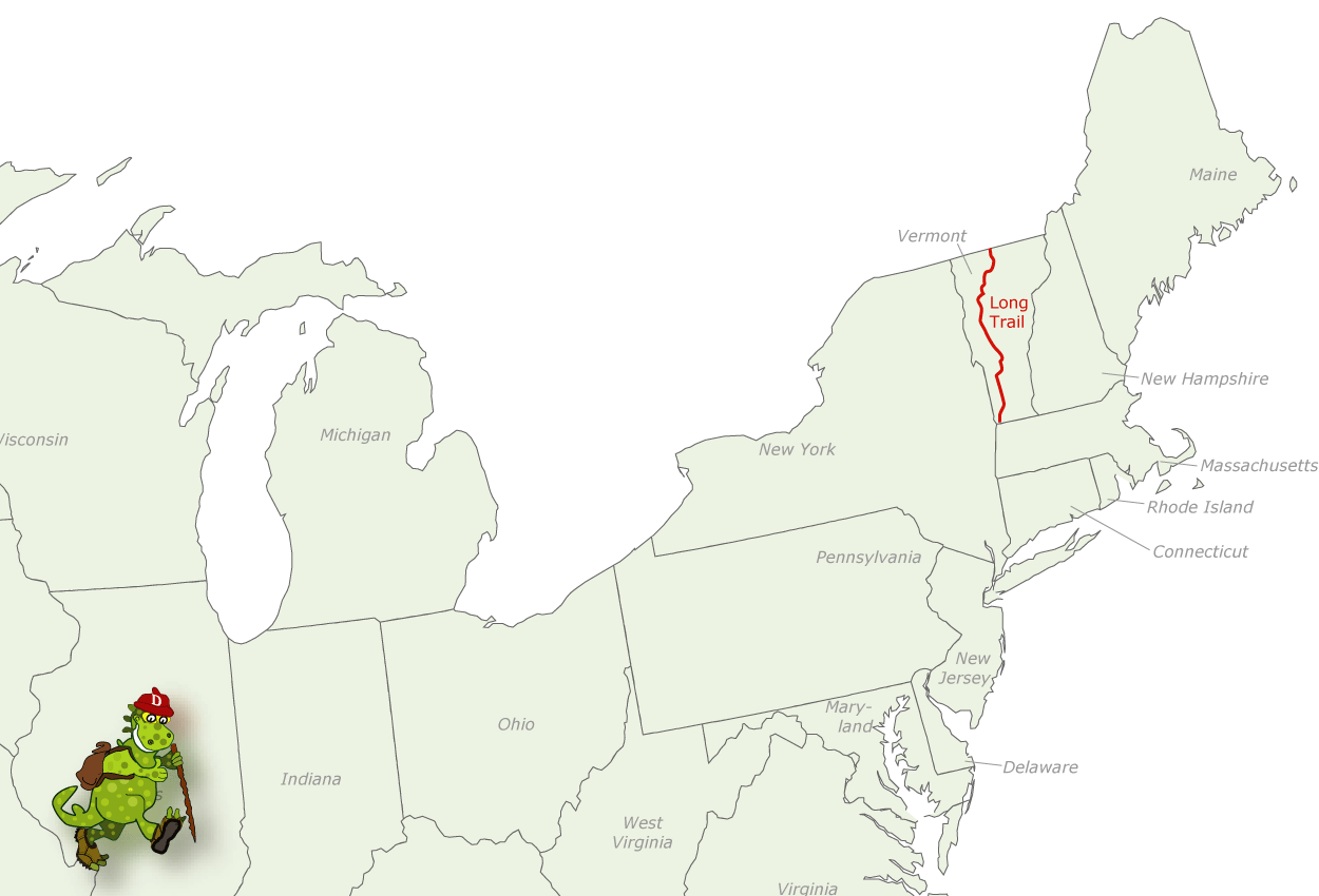
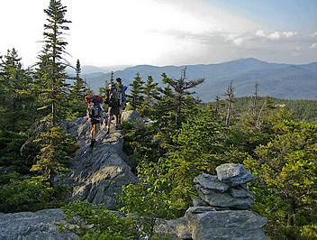 The Long Trail in Vermont has a length of 265 miles (426 km). This backcountry trail runs from the Canadian border to the border of Massachusetts. It's for hiking only, and you will find mountains, forests and lakes. Apparently, the trail is even older than the Appalachian Trail. And it is very popular too.
Select some tracks
☐Long Trail, 401km
☐Long Trail, 1.3km
☐Old Long Trail, 7.7km
☐נחל עיון מסלול ארוך, 2km
☐NJ State Long Trail, 215km
☐NJ State Long Trail, 193km
☐NJ State Long Trail Detour, 12km
☐NJ State Long Trail, 124km
☐NJ State Long Trail, 72km
☐Stanmore Common Nature Trail - Long Trail, 1km
☐Long Trail
☐Long Trail, 1.7km
☐Dunes Long Trail Alternates, 19km
Mapa
Enlaces
Datos
Informes
Guías y mapas
Hospedaje
Organizaciones
Operadores turísticos
GPS
Otro
Libros

The Book Depository
United Kingdom
United Kingdom
- A Short Book on the Long Trail
- Backpacking America's First Long Distance Hiking Trail Leer más

Stanfords
United Kingdom
United Kingdom
- Northville-Placid Trail NY
- Map No. 736 covering at 1:75,000 the Northville-Placid Trail (NPT) across the Adirondack Park in northern New York State. The title is part of an extensive series in the National Geographic’s Trails Illustrated imprint of GPS compatible, contoured hiking maps of USA’s national and state parks or forests and other popular recreational areas.... Leer más
- Also available from:
- Bol.com, Netherlands
- Bol.com, Belgium
Bol.com
Netherlands
Netherlands
- Northville-placid Trail, New York
- Waterproof Tear-Resistant Topographic Map GuideNational Geographic's Trails Illustrated map of the Adirondack Park, Northville-Placid Trail combines unmatched detail with helpful information to offer an invaluable tool for making the most of your visit to this 130 plus mile long trail. The Northville-Placid Trail (NPT) is the jewel in the... Leer más

Bol.com
Belgium
Belgium
- Northville-placid Trail, New York
- Waterproof Tear-Resistant Topographic Map GuideNational Geographic's Trails Illustrated map of the Adirondack Park, Northville-Placid Trail combines unmatched detail with helpful information to offer an invaluable tool for making the most of your visit to this 130 plus mile long trail. The Northville-Placid Trail (NPT) is the jewel in the... Leer más

Bol.com
Netherlands
Netherlands
- The River Calls
- Invited to several out-of-doors adventures of the authors world; on the water and memorable hikes. You may actually feel you are there. If you can't go to these places read and enjoy them on his Tundra Walk as he goes into the mountains and backcountry of Colorado. The joy and fun of being on the water traversing, the great outdoors of this... Leer más
- Also available from:
- Bol.com, Belgium

Bol.com
Belgium
Belgium
- The River Calls
- Invited to several out-of-doors adventures of the authors world; on the water and memorable hikes. You may actually feel you are there. If you can't go to these places read and enjoy them on his Tundra Walk as he goes into the mountains and backcountry of Colorado. The joy and fun of being on the water traversing, the great outdoors of this... Leer más
Bol.com
Netherlands
Netherlands
- Lightweight on the Long Trail
- What would you do if you had just given up your apartment and donated all of your belongings to charity? For Chris Cleanshave Miller the answer was simple: Go Hiking! Armed with only a twelve pound backpack and a sense of adventure he chose to hike the entire 272 miles of Vermont's Long Trail in what is known as an End-to-End hike. The Long... Leer más
- Also available from:
- Bol.com, Belgium

Bol.com
Belgium
Belgium
- Lightweight on the Long Trail
- What would you do if you had just given up your apartment and donated all of your belongings to charity? For Chris Cleanshave Miller the answer was simple: Go Hiking! Armed with only a twelve pound backpack and a sense of adventure he chose to hike the entire 272 miles of Vermont's Long Trail in what is known as an End-to-End hike. The Long... Leer más

Bol.com
Netherlands
Netherlands
- Kingdom Of Adventure - Everest
- KINGDOM OF ADVENTURE EVEREST A chronicle of mans assault on the earths highest mountain narrated by the participants and with an accompanying text by James Ramsey Ullman - Contents l. The High Road Introduction page i 2. The Unknown Discovery and Approach page 31 3. First Assault The Expedition of 1922 page 79 4. Second Assault The Expedition... Leer más
- Also available from:
- Bol.com, Belgium

Bol.com
Belgium
Belgium
- Kingdom Of Adventure - Everest
- KINGDOM OF ADVENTURE EVEREST A chronicle of mans assault on the earths highest mountain narrated by the participants and with an accompanying text by James Ramsey Ullman - Contents l. The High Road Introduction page i 2. The Unknown Discovery and Approach page 31 3. First Assault The Expedition of 1922 page 79 4. Second Assault The Expedition... Leer más

The Book Depository
United Kingdom
United Kingdom
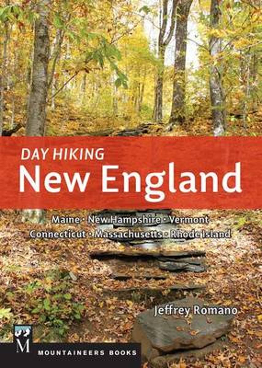
- Day Hiking New England
- Maine, New Hampshire, Vermont, Connecticut, Massachusetts. Rhode Island Leer más
- Also available from:
- Bol.com, Netherlands
- Bol.com, Belgium
Bol.com
Netherlands
Netherlands
- Day Hiking New England
- *CLICK HERE to download sample hikes from Day Hiking New England* *Provides difficulty ratings, hike distances, GPS coordinates, elevation gains, permitting information, and more *115 routes including many loops *Doesn't overlap with the author's 100 Classics Hikes: New England together the two guides capture more than 200 unique hiking... Leer más

Bol.com
Belgium
Belgium
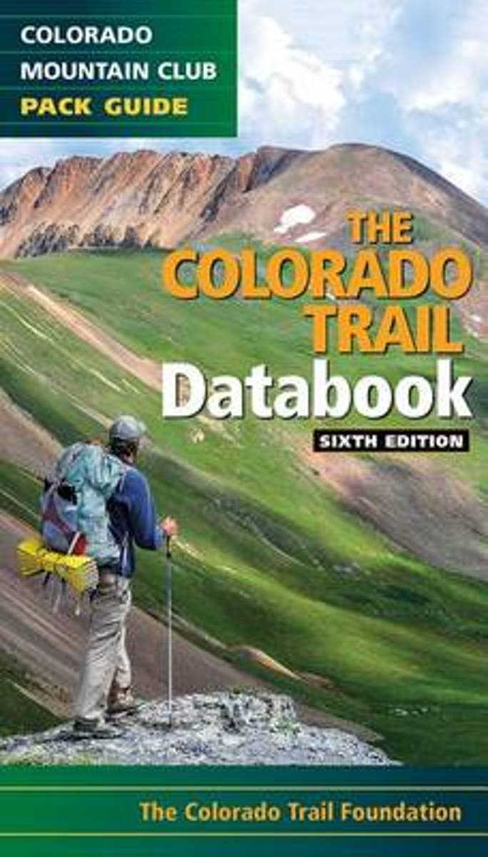
- Day Hiking New England
- *CLICK HERE to download sample hikes from Day Hiking New England* *Provides difficulty ratings, hike distances, GPS coordinates, elevation gains, permitting information, and more *115 routes including many loops *Doesn't overlap with the author's 100 Classics Hikes: New England together the two guides capture more than 200 unique hiking... Leer más
Bol.com
Netherlands
Netherlands
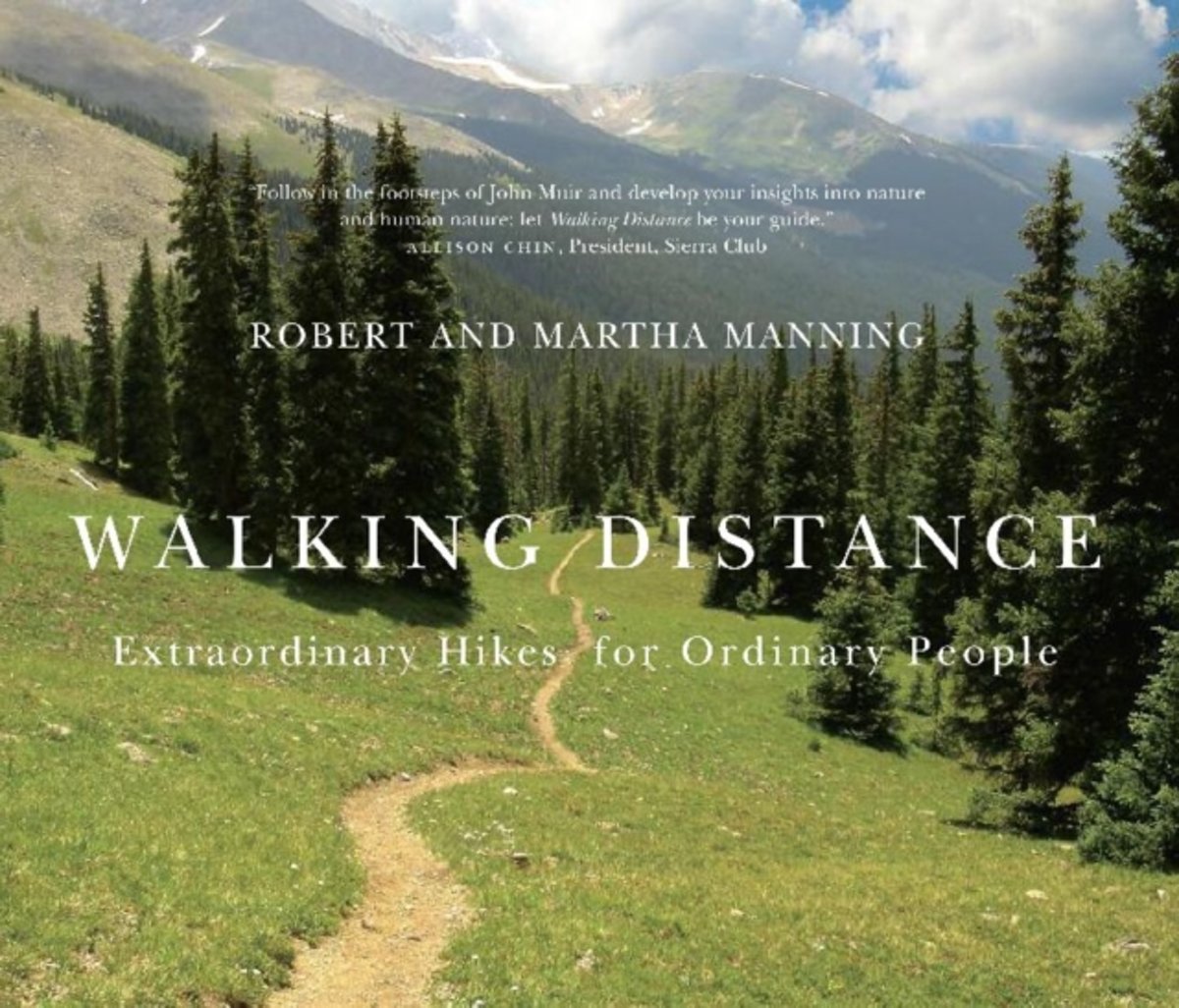
- Colorado Trail Databook, 6th Edition
- Here's the data that every Colorado Trail day hiker or thru-hiker will want with them on the route: trailheads, road crossings, trail intersections, stream crossings, water sources, campsite locations, viewpoints, elevation, and resupply towns. This sixth edition features up to date information on the new trail alignment of the Collegiate West... Leer más
- Also available from:
- Bol.com, Belgium

Bol.com
Belgium
Belgium
- Colorado Trail Databook, 6th Edition
- Here's the data that every Colorado Trail day hiker or thru-hiker will want with them on the route: trailheads, road crossings, trail intersections, stream crossings, water sources, campsite locations, viewpoints, elevation, and resupply towns. This sixth edition features up to date information on the new trail alignment of the Collegiate West... Leer más
Bol.com
Netherlands
Netherlands
- Walking Distance
- Long-distance walking is good for you and good for the earth... But most of all, walking is a joyful celebration of life and the diverse, beautiful, and curious world in which we live. -from the Introduction Walking is simple, but it can also be profound. In an increasingly complex and frantic world, walking can simplify our lives. It... Leer más
- Also available from:
- Bol.com, Belgium

Bol.com
Belgium
Belgium
- Walking Distance
- Long-distance walking is good for you and good for the earth... But most of all, walking is a joyful celebration of life and the diverse, beautiful, and curious world in which we live. -from the Introduction Walking is simple, but it can also be profound. In an increasingly complex and frantic world, walking can simplify our lives. It... Leer más

Bol.com
Netherlands
Netherlands
- The California Golden Seals
- Hockey has had its share of bizarre tales over the years, but none compares to the fascinating story of the California Golden Seals, a team that remains the benchmark for how not to run a sports franchise. From 1967 to 1978, a revolving door of players, apathetic owners, and ridiculous marketing decisions turned the Seals, originally based in... Leer más
- Also available from:
- Bol.com, Belgium

Bol.com
Belgium
Belgium
- The California Golden Seals
- Hockey has had its share of bizarre tales over the years, but none compares to the fascinating story of the California Golden Seals, a team that remains the benchmark for how not to run a sports franchise. From 1967 to 1978, a revolving door of players, apathetic owners, and ridiculous marketing decisions turned the Seals, originally based in... Leer más
- Also available from:
- Bol.com, Netherlands
- Bol.com, Belgium
Bol.com
Netherlands
Netherlands
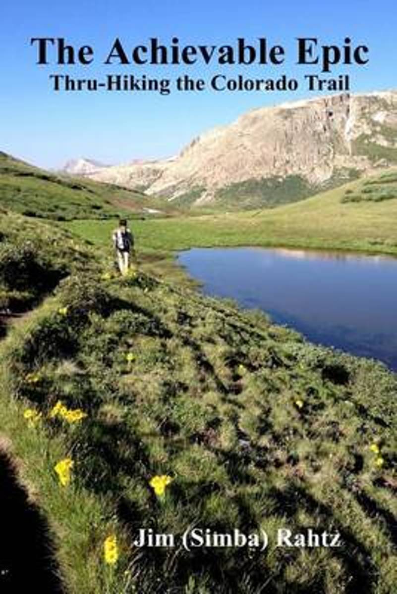
- The Achievable Epic
- Multiple Award Winner: 2015 Outdoor Writers of Ohio "Outstanding Media Achievement and Best Series of Photos."Inside many of us, there is a need, often suppressed, to accomplish something epic. For those that backpack, the dream is likely a thru-hike of the Appalachian Trail. Unfortunately, the reality is that spending six months on a hike is... Leer más

Bol.com
Belgium
Belgium
- The Achievable Epic
- Multiple Award Winner: 2015 Outdoor Writers of Ohio "Outstanding Media Achievement and Best Series of Photos."Inside many of us, there is a need, often suppressed, to accomplish something epic. For those that backpack, the dream is likely a thru-hike of the Appalachian Trail. Unfortunately, the reality is that spending six months on a hike is... Leer más
Bol.com
Netherlands
Netherlands
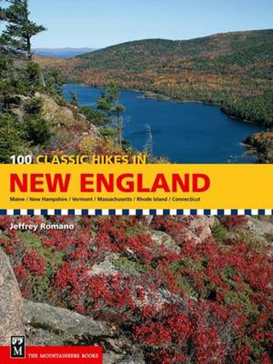
- 100 Classic Hikes in New England
- CLICK HERE to download author Jeff Romano's favorite hike from 100 Classic Hikes in New England* New England states covered: Maine, New Hampshire, Vermont, Massachusetts, Connecticut, and Rhode Island* Only full-color guidebook to the region's best hiking trails* Hikes suitable for all fitness levels and abilitiesThe wilderness of New England... Leer más
- Also available from:
- Bol.com, Belgium

Bol.com
Belgium
Belgium
- 100 Classic Hikes in New England
- CLICK HERE to download author Jeff Romano's favorite hike from 100 Classic Hikes in New England* New England states covered: Maine, New Hampshire, Vermont, Massachusetts, Connecticut, and Rhode Island* Only full-color guidebook to the region's best hiking trails* Hikes suitable for all fitness levels and abilitiesThe wilderness of New England... Leer más
Bol.com
Netherlands
Netherlands
- Best of the Appalachian Trail
- A concise guide to the best day hikes along the entire Appalachian Trail.Summit the iconic Katahdin in Maine, explore Pennsylvania's Chimney Rocks, splash in Tennessee's Laurel Fork Gorge and Falls, and find out where Blood Mountain got its name in the new edition of Best of the Appalachian Trail: Day Hikes by Victoria and Frank Logue and ... Leer más
- Also available from:
- Bol.com, Belgium

Bol.com
Belgium
Belgium
- Best of the Appalachian Trail
- A concise guide to the best day hikes along the entire Appalachian Trail.Summit the iconic Katahdin in Maine, explore Pennsylvania's Chimney Rocks, splash in Tennessee's Laurel Fork Gorge and Falls, and find out where Blood Mountain got its name in the new edition of Best of the Appalachian Trail: Day Hikes by Victoria and Frank Logue and ... Leer más
Bol.com
Netherlands
Netherlands
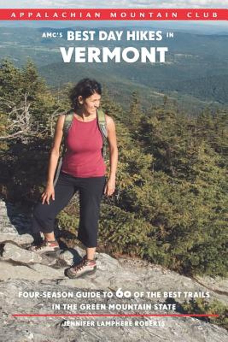
- Amc's Best Day Hikes in Vermont
- Embark on sixty of the most spectacular hikes in Vermont with this new four-season guide from the Appalachian Mountain Club. Ideal for all experience levels, this book features a variety of trips, from shorter nature walks in the south, to lengthier trips on the Long Trail through the Green Mountains, to challenging climbs to open summits.... Leer más
- Also available from:
- Bol.com, Belgium

Bol.com
Belgium
Belgium
- Amc's Best Day Hikes in Vermont
- Embark on sixty of the most spectacular hikes in Vermont with this new four-season guide from the Appalachian Mountain Club. Ideal for all experience levels, this book features a variety of trips, from shorter nature walks in the south, to lengthier trips on the Long Trail through the Green Mountains, to challenging climbs to open summits.... Leer más
- Also available from:
- Bol.com, Netherlands
- Bol.com, Belgium
Bol.com
Netherlands
Netherlands
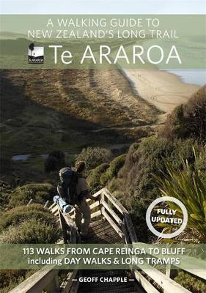
- A Walking Guide To New Zealand's Long Trail
- The official guide to New Zealand's greatest walk. This is the guidebook of Te Araroa Trail- The Long Pathway, a continuous trail running from Cape Reinga to Bluff, 35 years in the making, which officially opened in late 2011. The book maps the 3000-kilometre trail in 40-kilometre sections, with maps by leading map maker Roger Smith of... Leer más

Bol.com
Belgium
Belgium
- A Walking Guide To New Zealand's Long Trail
- The official guide to New Zealand's greatest walk. This is the guidebook of Te Araroa Trail- The Long Pathway, a continuous trail running from Cape Reinga to Bluff, 35 years in the making, which officially opened in late 2011. The book maps the 3000-kilometre trail in 40-kilometre sections, with maps by leading map maker Roger Smith of... Leer más
Mapas

Stanfords
United Kingdom
United Kingdom
- Vltava Cycle Route: Šumava National Park to Prague (480km) Bikeline Map/Guide
- Vtava (Moldau) Cycle Route, a 480-km long trail from Želazná Ruda in the Šumava National Park along the Cech border with Germany and Austria to the Lipno Reservoir and then along the Vltava across the beautiful historic town of Ceský Krumlov and Ceské Budejovice to Prague, and beyond it to Melník to join the cycle route along the Elbe. The... Leer más

Stanfords
United Kingdom
United Kingdom
- Munich-Venice Long Distance Cycle Route - incl Dolomites Route Bikeline Map-Guide
- Munich to Venice Cycle Route - a 600-km long trail crossing the Alps to Innsbruck and then across the Dolomites via Cortina d’Ampezzo, Belluno and Treviso, with alternative finishes either via Mestre or at the campsites south of Jesolo. Published by Verlag Esterbauer, the guide has maps at 1:75,000. Extensive information is conveyed by symbols,... Leer más

Stanfords
United Kingdom
United Kingdom
- Altmuhl Cycle Route - Rothenburg ob der Tauber to Kelheim Bikeline Map-Guide
- Altmühl Cycle Route, a 250-km long trail along the river from Rothenburg ob der Tauber to Kelheim on the Danube, presented by the Verlag Esterbauer in a guide with maps at 1:50,000. Excursions and variants of the main route add a further 150 kilometres of cycling paths. Extensive information is conveyed by symbols, indicating road surface,... Leer más
- Also available from:
- De Zwerver, Netherlands
De Zwerver
Netherlands
Netherlands
- Wandelkaart John Muir Way | SNH
- Geplastificeerde kaart van een coast-to-coast wandeling in Schotland, 215 km van Helensburg naar Dunbar. De route staat goed ingetekend op deze kaart. Leer más

Stanfords
United Kingdom
2019
United Kingdom
2019
- Hadrian`s Wall Path
- Hadrian`s Wall Path, a 138km / 86 mile long trail from Bowness-on-Solway to Wallsend along the remains of the Roman walls and forts, presented by Rucksack Readers in handy A5 size, spiral-bound, waterproof guide with mapping at 1:100,000. The 64-page guide provides general advice on when to go, availability of accommodation, etc, and includes... Leer más
- Also available from:
- The Book Depository, United Kingdom
- Bol.com, Netherlands
- Bol.com, Belgium
- De Zwerver, Netherlands

The Book Depository
United Kingdom
2019
United Kingdom
2019
- Hadrian's Wall Path
- Hadrian's Wall Path, a 138km / 86 mile long trail from Bowness-on-Solway to Wallsend along the remains of the Roman walls and forts, presented by Rucksack Readers in handy A5 size, spiral-bound, waterproof guide with mapping at 1:100,000. The 64-page guide provides general advice on when to go, availability of accommodation, etc, and includes... Leer más
Bol.com
Netherlands
2019
Netherlands
2019
- Hadrian's Wall Path
- ?Hadrians Wall Path runs for 86 miles from Bowness-on-Solway to Wallsend along the line of the Roman Wall completed in AD122 under the Emperor Hadrian. This National Trail crosses northern England from Irish Sea to North Sea and offers many chances to look at the forts, milecastles and interpretation centers within this UNESCO World Heritage... Leer más

Bol.com
Belgium
2019
Belgium
2019
- Hadrian's Wall Path
- ?Hadrians Wall Path runs for 86 miles from Bowness-on-Solway to Wallsend along the line of the Roman Wall completed in AD122 under the Emperor Hadrian. This National Trail crosses northern England from Irish Sea to North Sea and offers many chances to look at the forts, milecastles and interpretation centers within this UNESCO World Heritage... Leer más
De Zwerver
Netherlands
2019
Netherlands
2019
- Wandelgids Hadrian's Wall path | Rucksack Readers
- Hadrian's Wall Path, a 138km / 86 mile long trail from Bowness-on-Solway to Wallsend along the remains of the Roman walls and forts, presented by Rucksack Readers in handy A5 size, spiral-bound, waterproof guide with mapping at 1:100,000. The 64-page guide provides general advice on when to go, availability of accommodation, etc, and includes... Leer más
Bol.com
Netherlands
2014
Netherlands
2014
- Great Glen Way
- This guidebook (fully updated 2014) contains all you need to plan and enjoy a holiday walking or cycling along Scotland's historic Great Glen (77 miles/125 km). The Way runs between Fort William and Inverness, beside Scotland's highest mountain, along the historic Caledonian Canal and past beautiful lochs, including Loch Ness with its famous... Leer más
- Also available from:
- Bol.com, Belgium

Bol.com
Belgium
2014
Belgium
2014
- Great Glen Way
- This guidebook (fully updated 2014) contains all you need to plan and enjoy a holiday walking or cycling along Scotland's historic Great Glen (77 miles/125 km). The Way runs between Fort William and Inverness, beside Scotland's highest mountain, along the historic Caledonian Canal and past beautiful lochs, including Loch Ness with its famous... Leer más
Stanfords
United Kingdom
2018
United Kingdom
2018
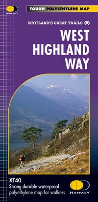
- West Highland Way Harvey National Trail XT40
- The West Highland Way, Scotland’s premier 153km / 96 miles long trail from Milngavie near Glasgow along Loch Lomond to Fort William presented at 1:40,000 on a light, waterproof and tear-resistant map from Harvey Map Services. The whole route is covered by nine overlapping panels, and the map includes small street plan of Milngavie, Tyndrum,... Leer más
- Also available from:
- Bol.com, Netherlands
- Bol.com, Belgium
- De Zwerver, Netherlands
Bol.com
Netherlands
2018
Netherlands
2018
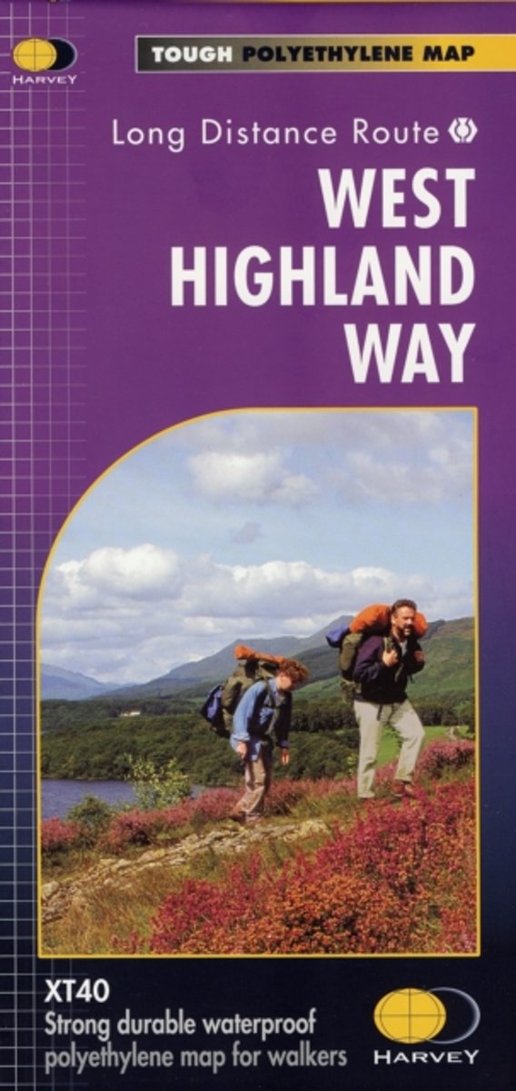
- West Highland Way XT40
- The West Highland Way is 96 miles (153 km) long and links Milngavie (Glasgow) to Fort William. It run's from Scotland's largest city to the foot of its highest mountain, Ben Nevis, through the Loch Lomond and Trossachs National Park.Detailed mapping, full legend in English, French and German. National Grid. Leer más

Bol.com
Belgium
2018
Belgium
2018
- West Highland Way XT40
- The West Highland Way is 96 miles (153 km) long and links Milngavie (Glasgow) to Fort William. It run's from Scotland's largest city to the foot of its highest mountain, Ben Nevis, through the Loch Lomond and Trossachs National Park.Detailed mapping, full legend in English, French and German. National Grid. Leer más
De Zwerver
Netherlands
2018
Netherlands
2018
- Wandelkaart West Highland Way | Harvey Maps
- Wandelkaart van de West Highland Way met uitsnedes van de route. Leap forward in technical excellence. Tough, light and 100% wateproof. Compact and light - the map itself weighs just 60gms - a third of the weight of a laminated map, and much less bulky. And you can fold or refold it time and again, or stuff it in your back pocket and it... Leer más

Stanfords
United Kingdom
2014
United Kingdom
2014
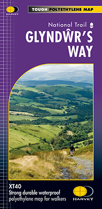
- Glyndwr`s Way Harvey National Trail XT40
- Glyndwr`s Way, a 217km / 135 mile long trail from Knighton in Powys to Welshpool presented at 1:40,000 on a GPS compatible, light, waterproof and tear-resistant map from Harvey Map Services. The whole route is covered on eight overlapping panels. Map legend includes Welsh; most of the additional information is in English only.Maps in the... Leer más
- Also available from:
- De Zwerver, Netherlands
De Zwerver
Netherlands
2014
Netherlands
2014
- Wandelkaart Glyndwr's Way | Harvey Maps
- Glyndwr's Way, a 217km / 135 mile long trail from Knighton in Powys to Welshpool presented at 1:40,000 on a GPS compatible, light, waterproof and tear-resistant map from Harvey Map Services. The whole route is covered on eight overlapping panels. Map legend includes Welsh; most of the additional information is in English only.Maps in the Harvey Leer más


