
Grecia
Descripción

Greece is a famous beach destination, and many island hoppers like to go for a walk now and again. Most islands are quite suitable for hiking, and locally guides and maps are available giving good descriptions of trails. But the crowded summer season is hot and dry. April is a much better month for hiking, with all flowers in full bloom, and also May, although it will start to get busier. June is more quiet but very hot. The busy season then lasts until winter. Although common in the past, your chances of actually following in the footsteps of mules carrying their loads in the traditional manner are dim.
But there is more. If you've had enough of the island's oregano, you can head for the mainland Pindos Mountains in the province of Epirus, on the border with Albania. European long distance trail E6, running from west to east, leads right across the Pindos. In the wide expanse of forests and pastures you may cross tracks with a bear (see the picture of a bear track which caused the author to freeze with fear), or if not, then at least with one or two herdsmen smelling of the inevitable ewe's cheese. Smolikos is the highest peak, reaching up to 2637m. Walking season in the mountains is from May, when the mountain tops are still covered in snow, until mid October. Greek mountain ranges have been made increasingly accessible over the years thanks to over 100 mountain huts.
Make an effort, and find out Greece has almost twenty national trails, maintained by regional mountaineering clubs. European long distance trail E4 enters Northern Greece from Bulgaria, and runs south via Mount Olympus (2918m), highest mountain of Greece and pleasant abode of Zeus. If you plan to spend the night there yourself in July or August, make sure to reserve in advance. The trail then leads across the Peleponessos, leaving it in the south, and continues on the island of Crete. Crete of course is famous for its Samaria gorge, the longest in Europe. It is impossible to lose your way here, simply join the crowd.
The Internet is not yet a very good source of information on Greek hiking, but maps and guides are easy to find. More information can be obtained through the Hellenic Federation of Mountaineering and Climbing.
Senderos
Regiones
- Agatohonissi, Dodecanese
- Amorgos, Cyclades
- Anafi, Cyclades
- Andros, Cyclades
- Antiparos, Cyclades
- Arki, Dodecanese
- Astipalea, Dodecanese
- Corfu
- Crete
- Cyclades Islands
- Dodecanese Islands
- Donoussa, Cyclades
- Folegandros, Cyclades
- Fourni, Dodecanese
- Greek Islands
- Ikaria, Dodecanese
- Ionian Islands
- Ios, Cyclades
- Iraklia, Cyclades
- Kalymnos, Dodecanese
- Karpathos
- Kea, Cyclades
- Kefalonia
- Kimolos, Cyclades
- Kithnos, Cyclades
- Kos
- Koufonisi, Cyclades
- Leros, Dodecanese
- Lesbos
- Lipsi, Dodecanese
- Milos, Cyclades
- Naxos, Cyclades
- Paros, Cyclades
- Patmos, Dodecanese
- Paxos
- Peleponnese
- Peloponnesos
- Pindos Mountains
- Rhodos
- Samos, Dodecanese
- Santorini, Cyclades
- Schinoussa, Cyclades
- Serifos, Cyclades
- Sifnos, Cyclades
- Sikinos, Cyclades
- Syros, Cyclades
- Telendos, Dodecanese
- Thirassia, Cyclades
- Tinos, Cyclades
- Zakynthos


 - by K.")


Enlaces
Datos
Informes
Guías y mapas
Hospedaje
Organizaciones
Operadores turísticos
GPS
Otro
Libros

- Also available from:
- De Zwerver, Netherlands

United Kingdom
2023
- Wild Guide Greece
- Hidden Places, Great Adventures and the Good Life (including the mainland, Crete, Corfu, Rhodes and over 20 other islands) Leer más
- Also available from:
- De Zwerver, Netherlands
Netherlands
2023
- Reisgids Wild Guide Greece | Wild Things Publishing
- Hidden Places, Great Adventures and the Good Life (including the mainland, Crete, Corfu, Rhodes and over 20 other islands) Leer más

- Also available from:
- De Zwerver, Netherlands
Netherlands
2018
- Wandelgids Trekking in Greece - Griekenland | Cicerone
- Guidebook describing challenging treks in the mountains of Greece, traversing the Pindhos Range, near Athens, and the Peloponnese, plus a handful of shorter routes including Mount Olympus. The treks demand a high level of commitment and fitness due to their remoteness and difficult terrain, and boast stunning unspoilt scenery. Leer más

United Kingdom
2019
- Walking and Trekking in Zagori
- Walking routes in Greece's wild and beautiful northern Pindos mountains Leer más
- Also available from:
- De Zwerver, Netherlands
Netherlands
2019
- Wandelgids Walking and Trekking in the Zagori | Cicerone
- Guidebook to 30 walks and 3 treks centred on Zagori and Konitsa in mainland Greece. From easy strolls to demanding hikes along remote mountainous traverses, including the rugged peaks of Mt Timfi and Mt Smolikas in the Pindos range, Drakolimni Lake, and the dramatic Vikos Gorge. With background information on architecture, history and wildlife. Leer más

- Also available from:
- De Zwerver, Netherlands
Netherlands
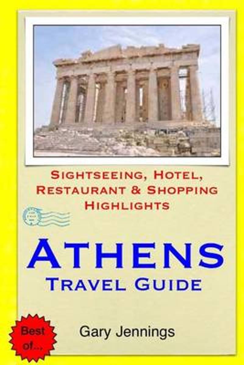
- Athens Travel Guide
- Athens, the ancient capital of Greece, is one of the oldest cities in the world. Here you can marvel at the mighty Acropolis and walk in the footsteps of Plato and Aristotle. This is the city where democracy and justice made their first steps. Outside Athens sits the blue sea of Piraeus and the enchanting neighborhoods of Kifisia and Ekali. Leer más
- Also available from:
- Bol.com, Belgium
Belgium
- Athens Travel Guide
- Athens, the ancient capital of Greece, is one of the oldest cities in the world. Here you can marvel at the mighty Acropolis and walk in the footsteps of Plato and Aristotle. This is the city where democracy and justice made their first steps. Outside Athens sits the blue sea of Piraeus and the enchanting neighborhoods of Kifisia and Ekali. Leer más
Netherlands
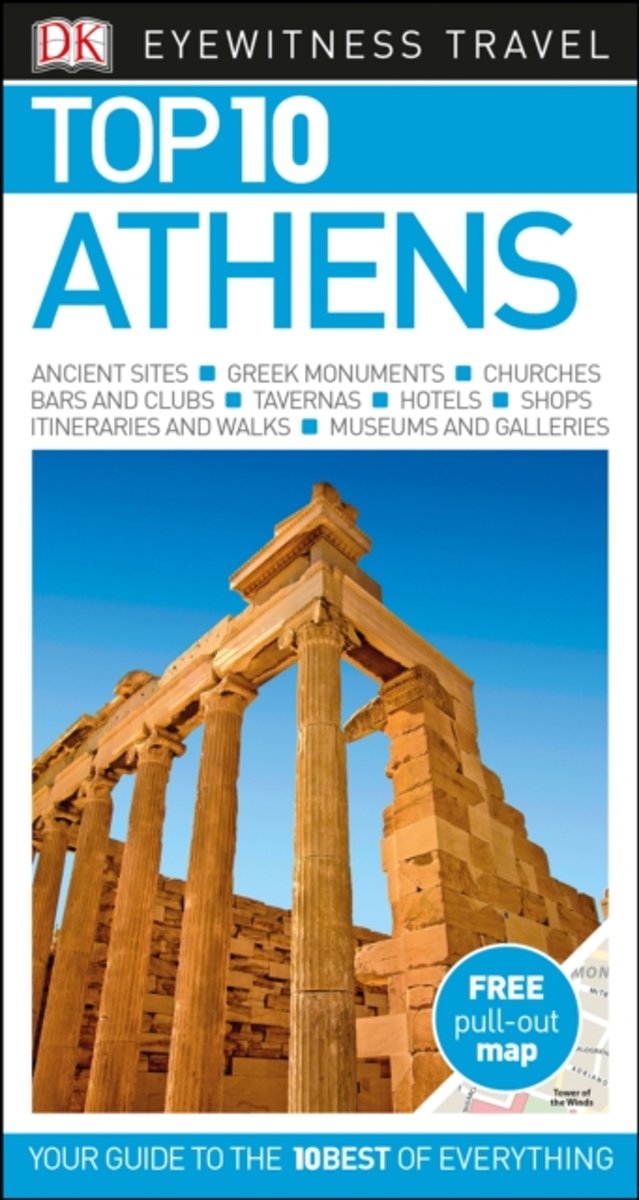
- Top 10 Athens
- An unbeatable, pocket-sized guide to Athens, packed with insider tips and ideas, colour maps, top 10 lists, and a laminated pull-out map - all designed to help you see the very best of Athens.Discover ancient treasures at the National Archeological Museum, visit the Acropolis's breathtaking temples, wander Filopappos Hill's pine-covered slopes,... Leer más
- Also available from:
- Bol.com, Belgium
Belgium
- Top 10 Athens
- An unbeatable, pocket-sized guide to Athens, packed with insider tips and ideas, colour maps, top 10 lists, and a laminated pull-out map - all designed to help you see the very best of Athens.Discover ancient treasures at the National Archeological Museum, visit the Acropolis's breathtaking temples, wander Filopappos Hill's pine-covered slopes,... Leer más
Netherlands
2018
- The Rough Guide to Greece
- The Rough Guide to Greece has been the definitive guidebook to the country for more than 30 years. This full-color 14th edition has detailed coverage of all the best attractions this fascinating country has to offer. With user-friendly accommodation and eating reviews, crystal-clear maps, detailed background and a journalistic eye for detail,... Leer más
- Also available from:
- Bol.com, Belgium
Belgium
2018
- The Rough Guide to Greece
- The Rough Guide to Greece has been the definitive guidebook to the country for more than 30 years. This full-color 14th edition has detailed coverage of all the best attractions this fascinating country has to offer. With user-friendly accommodation and eating reviews, crystal-clear maps, detailed background and a journalistic eye for detail,... Leer más
Netherlands
- The Great Donkey Walk - From Spain to Greece by Pilgrim Ways
- When biographer Susan Chitty and her novelist husband, Thomas Hinde, decided it was time to embark on a family adventure, they did it in style. Arriving in Spain in time for the Ascension Day fair at Santiago, they bought two donkeys whom they named Hannibal and Hamilcar. Their two small daughters, Miranda (7) and Jessica (3) were to ride... Leer más
- Also available from:
- Bol.com, Belgium
Belgium
- The Great Donkey Walk - From Spain to Greece by Pilgrim Ways
- When biographer Susan Chitty and her novelist husband, Thomas Hinde, decided it was time to embark on a family adventure, they did it in style. Arriving in Spain in time for the Ascension Day fair at Santiago, they bought two donkeys whom they named Hannibal and Hamilcar. Their two small daughters, Miranda (7) and Jessica (3) were to ride... Leer más

Netherlands
2017
- Reisgids Direkt Chalkidikí | Dumont
- Dit zijn handzame, praktische reisgidsen en geven u de belangrijkste highlights om deze 'direkt' te beleven. Er is aandacht voor culturele bezienswaardigheden als ook voor natuurlijke bezienswaardigheden. De gids geeft de reiziger de gelegenheid om eenvoudig en snel te navigeren in het reisgebied en 'direkt' in het dagelijks leven van de lokale... Leer más

Netherlands
- Wild Apples
- Wild Apples begins with a short history of the apple tree, tracing its path from ancient Greece to America. Thoreau saw the apple as a perfect mirror of man and eloquently lamented where they both were heading. Leer más
- Also available from:
- Bol.com, Belgium
Belgium
- Wild Apples
- Wild Apples begins with a short history of the apple tree, tracing its path from ancient Greece to America. Thoreau saw the apple as a perfect mirror of man and eloquently lamented where they both were heading. Leer más
Netherlands
- Venturing in Southern Greece
- Made famous by Homer, the stunning hillsides and islands of southern Greece seem to have been forgotten by modern tourists. This exciting anthology invites travelers to expand their itineraries beyond Athens and explore the territory once roamed by Odysseus. Filled with vivid accounts that transport the reader to the Peloponnesus, the... Leer más
- Also available from:
- Bol.com, Belgium
Belgium
- Venturing in Southern Greece
- Made famous by Homer, the stunning hillsides and islands of southern Greece seem to have been forgotten by modern tourists. This exciting anthology invites travelers to expand their itineraries beyond Athens and explore the territory once roamed by Odysseus. Filled with vivid accounts that transport the reader to the Peloponnesus, the... Leer más
Netherlands
2018
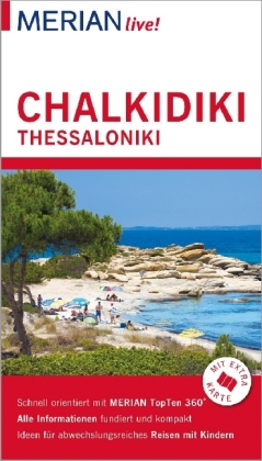
- Reisgids Live! Chalkidiki - Thessaloniki | Merian
- MERIAN live! Reiseführer Chalkidiki Thessaloniki ab 11.99 EURO Mit Extra-Karte zum Herausnehmen Merian live! Leer más
Mapas

United Kingdom
- Chios - Psara - Inouses Anavasi 10.31
- Chios with Oinousses on a light, waterproof and tear-resistant, contoured and GPS compatible map at 1:60,000 published by Anavasi, with the nearby island of Psara shown on the reverse at 1:40,000. Plus street maps of the town on Chios and of the historic Kampos area near the island’s airport.Landscape is vividly presented by contours at 20m... Leer más

United Kingdom
2010
- Hydra Terrain Editions 359
- Greek island of Hydra on a light, waterproof and tear-resistant, contoured and GPS compatible map at 1:20,000 from Terrain Editions, with a large street plan showing Hydra Town at 1:3,000. Notes on the reverse include descriptions of four recommended hiking trails. All place names are shown in both Greek and Latin alphabet. Map legend and all... Leer más

United Kingdom
- Lefkada Terrain Editions 351
- Lefkada (Lefkas) and the nearby Meghanisi at 1:40,000 on a contoured, GPS compatible hiking map published by Terrain Cartography group together with Skai Maps, and printed on light, waterproof and tear-resistant Polyart plastic paper, with extensive tourist information.Topography is very well presented by contours, enhanced by spot heights,... Leer más

United Kingdom
- Samothrace Terrain Editions 324 SUPERCEDED
- Samothrace at 1:25,000 on a contoured, GPS compatible hiking map published by Terrain Cartography group and printed on light, waterproof and tear-resistant Polyart plastic paper, with extensive tourist information.Topography is very well presented by contours, enhanced by spot heights, subtle relief shading and additional altitude colouring.... Leer más

United Kingdom
- Athens Borch
- Laminated and waterproof tourist map for visitors to Athens from Borch, combining a plan of the central part of the city with a map of its environs showing road and rail connections to the airport and to the port in Piraeus, a road map of Attica and north-eastern Peloponnese, and plans of main archaeological sites. The main plan at 1:7,500... Leer más

United Kingdom
- Northern Agrafa - Plastira Lake Anavasi 4.1
- Northern Agrafa - Plastira Lake area at 1:50,000 on a light, waterproof and tear-resistant, GPS compatible contoured map from Anavasi, including on the reverse English descriptions of nine recommended hiking trails highlighted on the map. Coverage starts west of the peaks of Karavoula (on the northern edge of the map), Karava and Delidimi, and... Leer más

United Kingdom
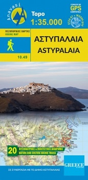
- Astypalaea / Astypalaia Terrain Editions 330
- Astypalaea on a light, waterproof and tear-resistant, contoured and GPS compatible map at 1:25,000 from Terrain Editions, with street plan of the Hora of Astypalaea at 1:4,000. The reverse side includes information on the island`s main rock climbing site with details of its 22 climbing routes, giving height, the number of bolts and the grades.... Leer más


United Kingdom
- Pirin (BG) - Orvilos - Vrontou (GR) Geopsis 134
- Pirin Mountais in south-western Bulgaria, plus Orvilos and Vrondous (Vrontou) Mountains in northern Greece on a light, waterproof and tear-resistant, contoured and GPS compatible amt at 1:50,000 from Greek publishers Geopsis, highlighting waymarked hiking trails, places of interest, etc.On one side are the Pirin Mountain in Bulgaria with... Leer más

United Kingdom
- G27 Nisos Lesvos & the Coast of Turkey
- Imray’s series of charts of Greece and Turkey are comprehensive and easy-to-use sailing charts published on rip-proof, waterproof paper- ideal for use on small tables or in cockpits. They show detailed coastline and depth information, and are constantly corrected to reflect latest information. Designed primarily for yachtsmen, they are... Leer más

United Kingdom
2012
- Valia Kalda - Vasilitsa Anavasi 6.4
- Pindos: Valia Kalda - Vasilitsa area at 1:50,000in a series of waterproof and tear-resistant hiking maps from Anavasi with a UTM grid for GPS users. The map covers part of the northern Pindus highlands, extending northwards from Metsovo to well beyond Smixi, ski centre on the northern slpes of Mt. Vasilitsa. With Samarina on its western margin... Leer más

United Kingdom
- Lefkada Anavasi 9.1
- Lefkada / Lefkas in the Ionian Islands on light, a waterproof and tear-resistant, contoured and GPS compatible map at 1:40.000 from Anavasi, with on the reverse a street plan of the Lefkada Town, recommendations for hiking trails, general notes about the island, etc. Coverage includes the near-by island of Meganisi and part of the adjoining... Leer más

United Kingdom
- Astypalaia
- Deze wandelkaart van Astipalaia is in samenwerking gemaakt met de gemeente Astipalaia. Het prachtige Chora met zijn grote Venetiaanse kasteel is ontzettend indrukwekkend, maar Astipalaia heeft nog veel meer te bieden. Er zijn 20 routes ontworpen en gemarkeerd. Via deze routes zijn de meeste monumenten (kastelen, basilicas, enz.) te bezoeken... Leer más
- Also available from:
- De Zwerver, Netherlands
Netherlands
- Wandelkaart 10.49 Astypalaia | Anavasi
- Deze wandelkaart van Astipalaia is in samenwerking gemaakt met de gemeente Astipalaia. Het prachtige Chora met zijn grote Venetiaanse kasteel is ontzettend indrukwekkend, maar Astipalaia heeft nog veel meer te bieden. Er zijn 20 routes ontworpen en gemarkeerd. Via deze routes zijn de meeste monumenten (kastelen, basilicas, enz.) te bezoeken... Leer más

United Kingdom
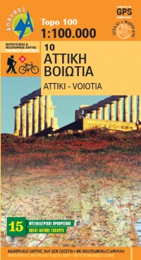
- Attica - Boeotia Anavasi 10
- Attica and Boeotia at 1:100,000 in a series from Anavasi covering selected popular areas of central mainland Greece and the Peloponnese on GPS compatible, detailed topographic road maps printed on light, waterproof and tear-resistant synthetic paper. Coverage extends north well beyond Thebes/Thiva and Livadia to Atlanadi and includes Salamina... Leer más
- Also available from:
- The Book Depository, United Kingdom
- De Zwerver, Netherlands

United Kingdom
- Attika Viotia
- Attica and Boeotia at 1:100,000 in a series from Anavasi covering selected popular areas of central mainland Greece and the Peloponnese on GPS compatible, detailed topographic road maps printed on light, waterproof and tear-resistant synthetic paper. Coverage extends north well beyond Thebes/Thiva and Livadia to Atlanadi and includes Salamina... Leer más
Netherlands
- Wegenkaart - landkaart 10 Atiki - Attika | Anavasi
- Attica and Boeotia at 1:100,000 in a series from Anavasi covering selected popular areas of central mainland Greece and the Peloponnese on GPS compatible, detailed topographic road maps printed on light, waterproof and tear-resistant synthetic paper. Coverage extends north well beyond Thebes/Thiva and Livadia to Atlanadi and includes Salamina... Leer más

United Kingdom
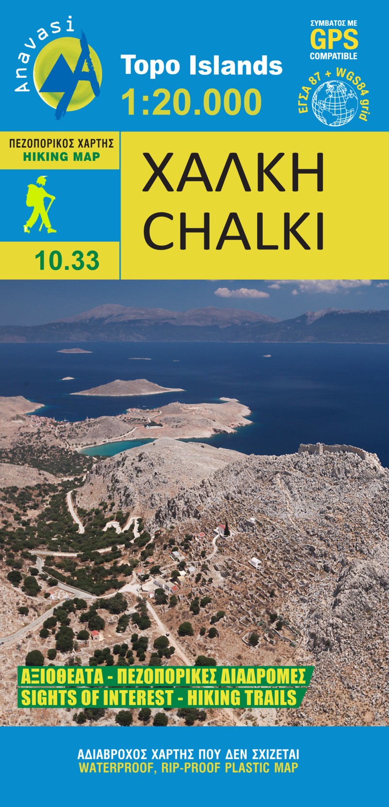
- Chalki Anavasi 10.33
- The island of Chalki at 1:20,000 on a waterproof and tear-resistant, contoured and GPS compatible map from Anavasi, with highlighting five recommended hiking routes and other useful tips, plus an enlargement showing in greater detail the Chorio archaeological site.On one side is a map of Chalki with contours at 20m intervals and hill shading to... Leer más
- Also available from:
- The Book Depository, United Kingdom
- De Zwerver, Netherlands

United Kingdom
- Chalki
- wandelkaart schaal 1:20.000 met hoogtelijnen, wandelpaden, toeristische informatie en UTM grid, de kaart is geschikt voor gebruik met GPS. A tiny island though very rich in monuments and ancient remains. More than 50 byzantine chappels, dozens of rock carved cisterns and old agricultural settlements and a well-preserved medieval caslte with a... Leer más
Netherlands
- Wandelkaart 10.33 Chalki | Anavasi
- wandelkaart schaal 1:20.000 met hoogtelijnen, wandelpaden, toeristische informatie en UTM grid, de kaart is geschikt voor gebruik met GPS. A tiny island though very rich in monuments and ancient remains. More than 50 byzantine chappels, dozens of rock carved cisterns and old agricultural settlements and a well-preserved medieval caslte with a... Leer más