
Greek Islands
Descripción
Enlaces
Datos
Informes
Guías y mapas
Hospedaje
Organizaciones
Operadores turísticos
GPS
Otro
Libros

Stanfords
United Kingdom
United Kingdom
- DK Eyewitness Greece, Athens and the Mainland 7/5/20
- Discover ancient worlds in a spectacular landscape Whether you want to explore the awe inspiring Acropolis, relax on the unspoiled beaches of the Mani archipelago or simply indulge in deliciously fresh Greek food, your DK Eyewitness travel guide makes sure you experience all that Greece has to offer.From the ancient wonders of Delphi and... Leer más

Stanfords
United Kingdom
United Kingdom
- DK Eyewitness Greece: Athens and the Mainland
- Mainland Greece promises incredible ancient relics, inspiring cities, idyllic beaches, and mountains steeped in myth and legend.Whether you want to watch the sun sink behind the marble columns of the Parthenon in Athens, visit iconic archaeological sites such as Delphi and Olympia, or simply soak up the sun on the sandy beaches of Halkidiki,... Leer más

Stanfords
United Kingdom
United Kingdom
- DK Eyewitness Travel Guide The Greek Islands
- Discover the Greek Islands with this essential travel guide, designed to help you create your own unique trip and to transport you to this beautiful region of Greece before you`ve even packed your case - explore Corfu`s atmospheric Old Town, admire Santorini`s brilliant white-and-blue-washed houses, explore archaeological sites on Delos, wander... Leer más

Stanfords
United Kingdom
United Kingdom
- RHODES with SYMI & CHALKI (McGilchrist’s Greek Islands, vol 6)
- Cosmopolitan, spacious, immensely varied, blessed with a fullness of vegetation and an unforgettable radiance of light, the island of Rhodes has always been a proudly self-sufficient world of its own. The Hospitaller Knights of St John arrived in Rhodes at the beginning of the 14th century and fortified the island as a chivalric kingdom in the... Leer más

Stanfords
United Kingdom
United Kingdom
- Sikinos Anavasi 10.29
- The Aegean island of Sikinos at 1:25,000 on a waterproof and tear-resistant, contoured and GPS compatible map from Anavasi, with five recommended hiking trail and places of interest annotated with useful tips.Contours at 20m intervals and hill shading show the topography. The map indicates dirt roads in poor condition and shows location of... Leer más
- Also available from:
- The Book Depository, United Kingdom

The Book Depository
United Kingdom
United Kingdom

- Also available from:
- De Zwerver, Netherlands
De Zwerver
Netherlands
2018
Netherlands
2018
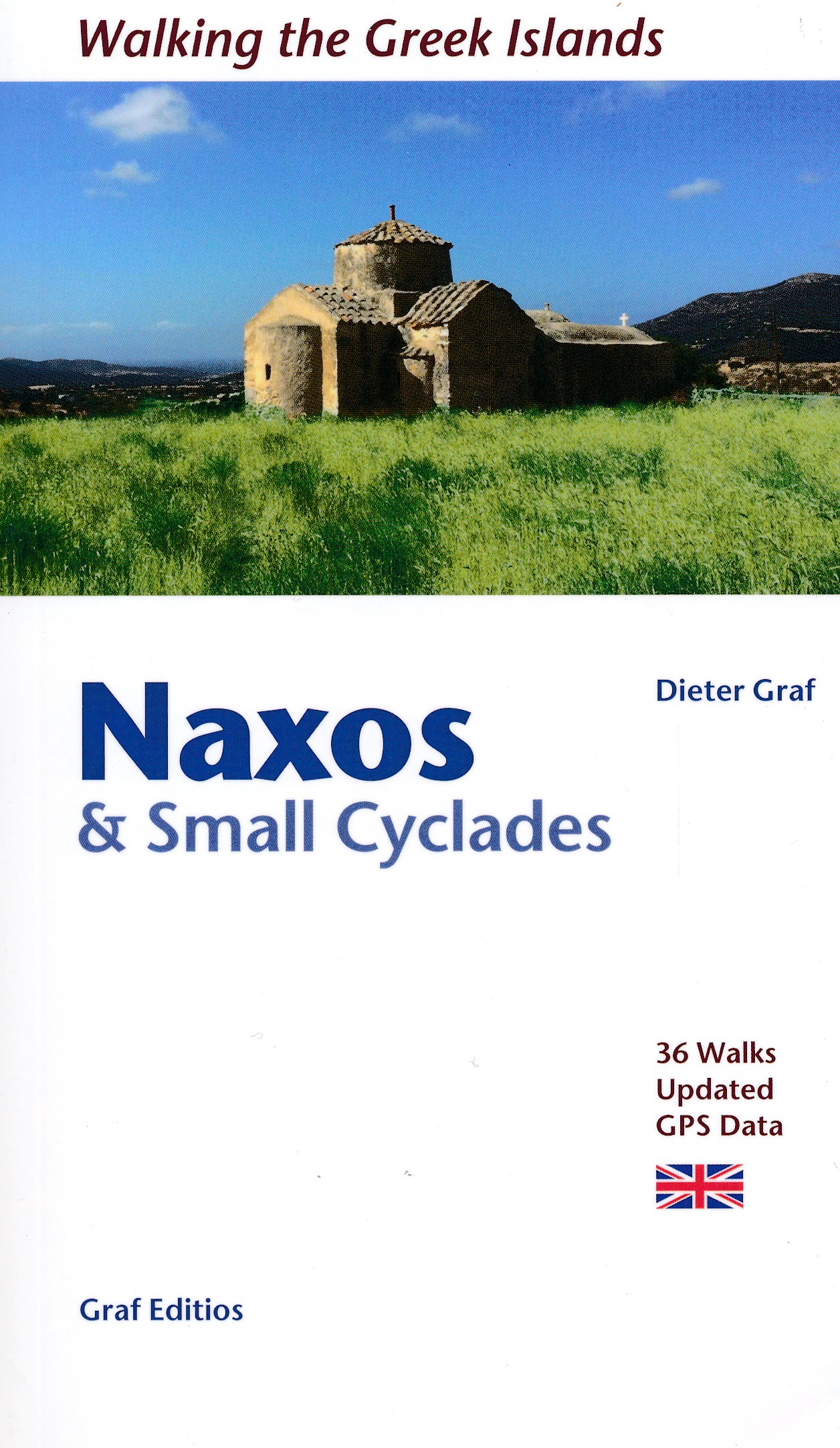
- Wandelgids Naxos and the Small Cyclades | Graf editions
- Walking the Greek Islands Leer más

The Book Depository
United Kingdom
2011
United Kingdom
2011
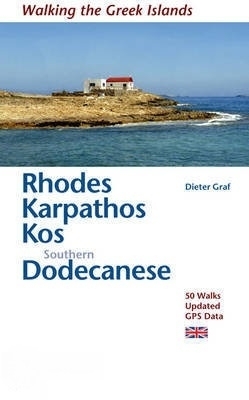
- Rhodes, Karpathos, Kos, Southern Dodecanese
- 50 Walks, Updated GPS Data Leer más
- Also available from:
- De Zwerver, Netherlands
De Zwerver
Netherlands
2011
Netherlands
2011
- Wandelgids Rhodos, Karpathos, Kos and southern Dodecanese | Graf editions
- 50 Walks, Updated GPS Data Leer más

Stanfords
United Kingdom
2020
United Kingdom
2020
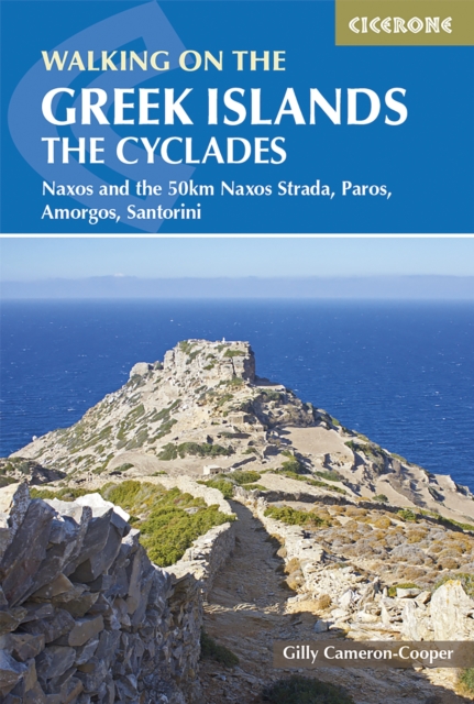
- Walking on the Greek Islands - the Cyclades: Naxos and the 50km Naxos Strada, Paros, Amorgos, Santorini
- This guidebook offers 35 day walks across the four Cycladic islands of Paros, Naxos, Amorgos and Santorini. Best explored in spring and autumn, each island offers a unique walking experience and the walks range from easy 4km town tours to 16km hikes visiting remote peaks in wild interiors. This is the first guide to feature the new 50km Naxos... Leer más
- Also available from:
- The Book Depository, United Kingdom
- De Zwerver, Netherlands

The Book Depository
United Kingdom
2020
United Kingdom
2020
- Walking on the Greek Islands - the Cyclades
- Naxos and the 50km Naxos Strada, Paros, Amorgos, Santorini Leer más
De Zwerver
Netherlands
2020
Netherlands
2020
- Wandelgids Walking on the Greek Islands - The Cyclades | Cicerone
- This guidebook offers 35 day walks across the four Cycladic islands of Paros, Naxos, Amorgos and Santorini. Best explored in spring and autumn, each island offers a unique walking experience and the walks range from easy 4km town tours to 16km hikes visiting remote peaks in wild interiors. This is the first guide to feature the new 50km Naxos... Leer más

Stanfords
United Kingdom
United Kingdom
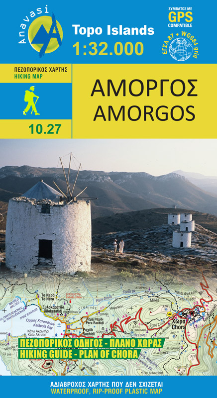
- Amorgos Anavasi 10.27
- The island of Amorgos in the Cyclades on a light, waterproof and tear-resistant, contoured and GPS compatible map at 1:32,000 from Anavasi. 16 recommended walks are accompanied by brief descriptions and the map also includes a street plan of Chora.Landscape is vividly presented by contours at 20m intervals with hill shading and spot heights.... Leer más
- Also available from:
- De Zwerver, Netherlands
De Zwerver
Netherlands
Netherlands
- Wandelkaart 10.27 Amorgos | Anavasi
- The island of Amorgos in the Cyclades on a light, waterproof and tear-resistant, contoured and GPS compatible map at 1:32,000 from Anavasi. 16 recommended walks are accompanied by brief descriptions and the map also includes a street plan of Chora.Landscape is vividly presented by contours at 20m intervals with hill shading and spot heights.... Leer más

Bol.com
Netherlands
2018
Netherlands
2018
- Corfu Marco Polo Pocket Travel Guide 2018 - with pull out map
- Marco Polo Pocket Guide Corfu: the Travel Guide with Insider Tips. Explore Corfu with this handy, pocket-sized, authoritative guide, packed with Insider Tips. Discover boutique hotels, authentic restaurants, the island's trendiest places, and get tips on shopping and what to do on a limited budget. There are plenty of ideas for travel with... Leer más
- Also available from:
- Bol.com, Belgium
Bol.com
Belgium
2018
Belgium
2018
- Corfu Marco Polo Pocket Travel Guide 2018 - with pull out map
- Marco Polo Pocket Guide Corfu: the Travel Guide with Insider Tips. Explore Corfu with this handy, pocket-sized, authoritative guide, packed with Insider Tips. Discover boutique hotels, authentic restaurants, the island's trendiest places, and get tips on shopping and what to do on a limited budget. There are plenty of ideas for travel with... Leer más
Bol.com
Netherlands
Netherlands
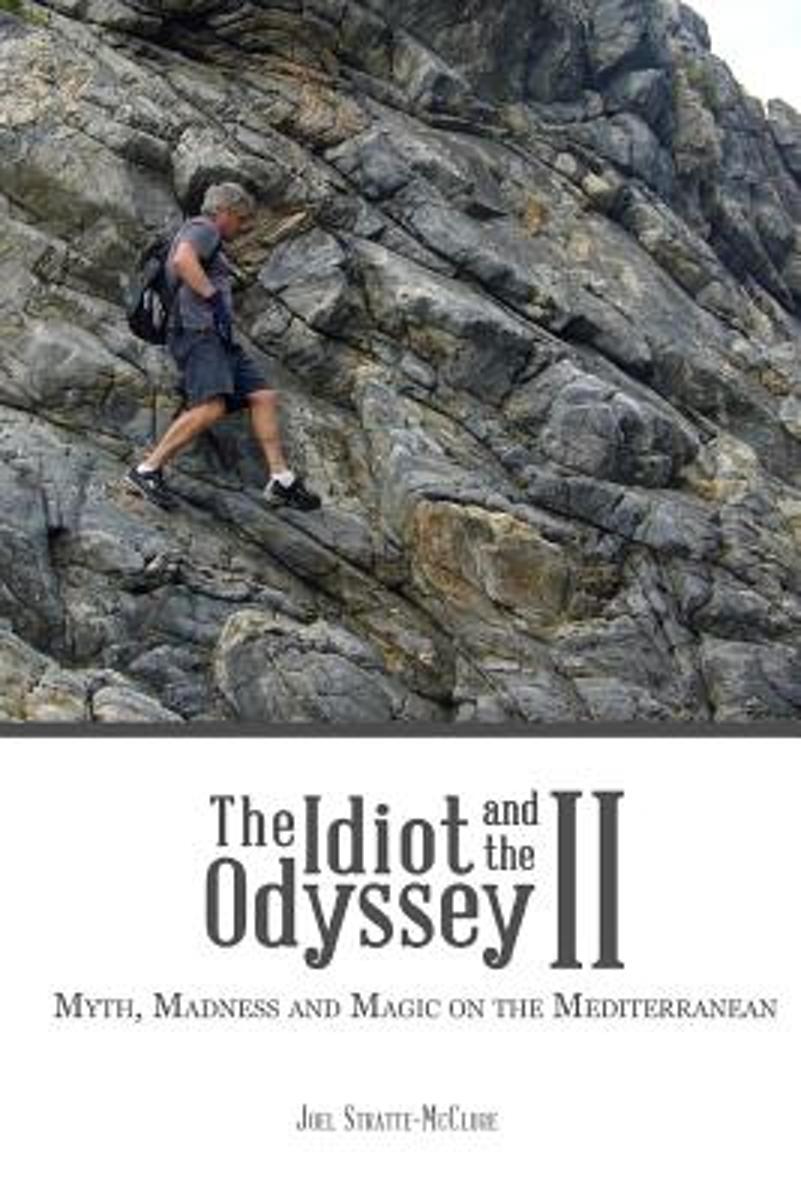
- The Idiot and the Odyssey II
- When inquisitive American journalist Joel Stratte-McClure decides to walk around the Mediterranean Sea, we're in for an exhilarating footloose adventure. As a 30 year expatriate in France, the author explores the coast, countryside and regional cultures while musing about life, meditation, literature, art, the environment, Greek gods and... Leer más
- Also available from:
- Bol.com, Belgium
Bol.com
Belgium
Belgium
- The Idiot and the Odyssey II
- When inquisitive American journalist Joel Stratte-McClure decides to walk around the Mediterranean Sea, we're in for an exhilarating footloose adventure. As a 30 year expatriate in France, the author explores the coast, countryside and regional cultures while musing about life, meditation, literature, art, the environment, Greek gods and... Leer más
Bol.com
Netherlands
Netherlands
- The Doors of Santorini
- Santorini has been a favorite destination point for many who travel to the Greek Islands. A remnant of a volcanic caldera, attract many to its stunning beaches of volcanic rock and black sand however, few tourists venture off the beaten path. This photographic collection of doors reflects beautifully portrayed doors found along the tiny back... Leer más
- Also available from:
- Bol.com, Belgium
Bol.com
Belgium
Belgium
- The Doors of Santorini
- Santorini has been a favorite destination point for many who travel to the Greek Islands. A remnant of a volcanic caldera, attract many to its stunning beaches of volcanic rock and black sand however, few tourists venture off the beaten path. This photographic collection of doors reflects beautifully portrayed doors found along the tiny back... Leer más
Bol.com
Netherlands
Netherlands
- Lonely Planet Greek Islands
- Discover The Greek Islands Marvel as Santorini's vast caldera rises before you from the open deck of a slow ferry Gaze at the carpet of wildflowers from the unspoilt mountain villages of Crete's Lefka Ori Float in the crystal-clear Ionian Sea before flopping onto the sands of Antipaxi's Vrika Beach Discover the secret behind quaffing ouzo but... Leer más
- Also available from:
- Bol.com, Belgium
Bol.com
Belgium
Belgium
- Lonely Planet Greek Islands
- Discover The Greek Islands Marvel as Santorini's vast caldera rises before you from the open deck of a slow ferry Gaze at the carpet of wildflowers from the unspoilt mountain villages of Crete's Lefka Ori Float in the crystal-clear Ionian Sea before flopping onto the sands of Antipaxi's Vrika Beach Discover the secret behind quaffing ouzo but... Leer más

Stanfords
United Kingdom
2021
United Kingdom
2021
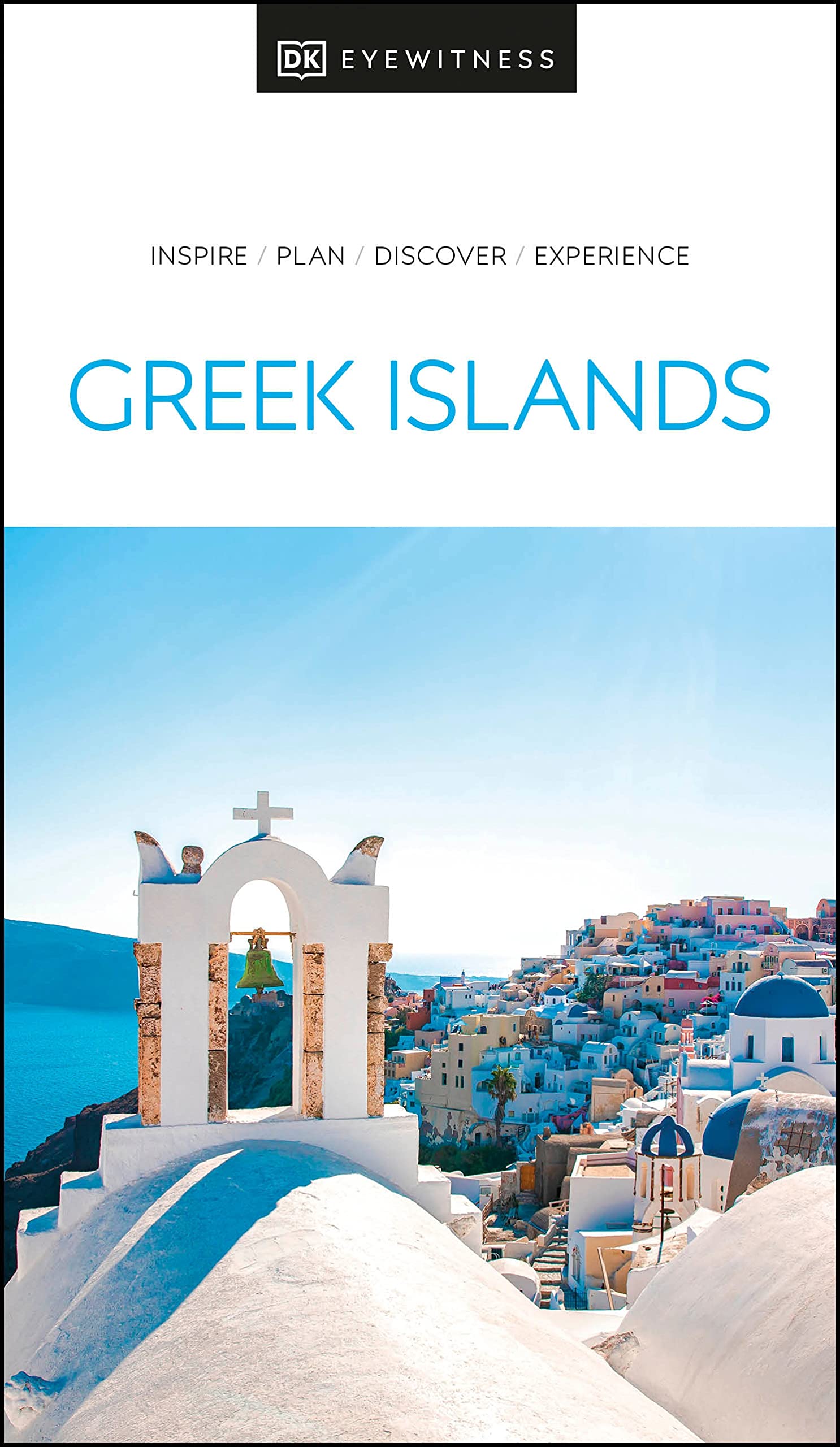
- DK Eyewitness Greek Islands
- Explore hundreds of irresistible islands.Whether you want to follow in the footsteps of legendary heroes at the Minoan palace, swim in the turquoise waters of idyllic Zakynthos bay, or watch the sun set over Corfu from Kaiser`s throne, your DK Eyewitness travel guide makes sure you experience all that the Greek Islands have to offer.The perfect... Leer más
- Also available from:
- De Zwerver, Netherlands
De Zwerver
Netherlands
2021
Netherlands
2021
- Reisgids Eyewitness Travel The Greek Islands - Griekse Eilanden | Dorling Kindersley
- Explore hundreds of irresistible islands.Whether you want to follow in the footsteps of legendary heroes at the Minoan palace, swim in the turquoise waters of idyllic Zakynthos bay, or watch the sun set over Corfu from Kaiser`s throne, your DK Eyewitness travel guide makes sure you experience all that the Greek Islands have to offer.The perfect... Leer más

Stanfords
United Kingdom
2016
United Kingdom
2016
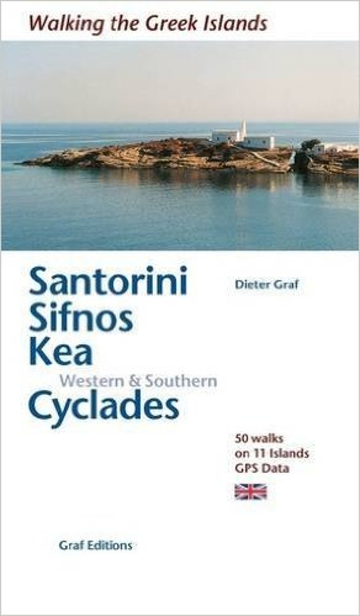
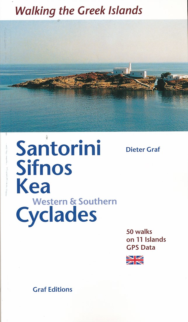
- Santorini, Sifnos, Kea, Western & Southern Cyclades: 50 Walks on 11 Islands
- This is in the Walking in the Greek Islands series by Dieter Graf. 50 walks with GPS data on 11 islands on and around Santorini, Sifnos, Kea and the Western & Southern Cyclades in the Aegean Sea.The Cyclades, south east of the Greek mainland are rich in history, culture, architecture and natural beauty and the book describes 50 walks on old... Leer más
- Also available from:
- The Book Depository, United Kingdom
- Bol.com, Netherlands
- Bol.com, Belgium
- De Zwerver, Netherlands

The Book Depository
United Kingdom
2016
United Kingdom
2016
- Santorini, Sifnos, Kea, Western & Southern Cyclades
- 50 Walks on 11 Islands Leer más
Bol.com
Netherlands
2016
Netherlands
2016
- Santorini, Sifnos, Kea, Western & Southern Cyclades
- This is in the Walking in the Greek Islands series by Dieter Graf. 50 walks with GPS data on 11 islands on and around Santorini, Sifnos, Kea and the Western & Southern Cyclades in the Aegean Sea.The Cyclades, south east of the Greek mainland are rich in history, culture, architecture and natural beauty and the book describes 50 walks on old... Leer más
Bol.com
Belgium
2016
Belgium
2016
- Santorini, Sifnos, Kea, Western & Southern Cyclades
- This is in the Walking in the Greek Islands series by Dieter Graf. 50 walks with GPS data on 11 islands on and around Santorini, Sifnos, Kea and the Western & Southern Cyclades in the Aegean Sea.The Cyclades, south east of the Greek mainland are rich in history, culture, architecture and natural beauty and the book describes 50 walks on old... Leer más
De Zwerver
Netherlands
2016
Netherlands
2016
Mapas

Stanfords
United Kingdom
United Kingdom
- Lefkada Anavasi 9.1
- Lefkada / Lefkas in the Ionian Islands on light, a waterproof and tear-resistant, contoured and GPS compatible map at 1:40.000 from Anavasi, with on the reverse a street plan of the Lefkada Town, recommendations for hiking trails, general notes about the island, etc. Coverage includes the near-by island of Meganisi and part of the adjoining... Leer más

Stanfords
United Kingdom
United Kingdom
- Chios - Psara - Inouses Anavasi 10.31
- Chios with Oinousses on a light, waterproof and tear-resistant, contoured and GPS compatible map at 1:60,000 published by Anavasi, with the nearby island of Psara shown on the reverse at 1:40,000. Plus street maps of the town on Chios and of the historic Kampos area near the island’s airport.Landscape is vividly presented by contours at 20m... Leer más

Stanfords
United Kingdom
United Kingdom
- Syros Anavasi 10.22
- Syros in the Cyclades on light, a waterproof and tear-resistant, contoured and GPS compatible map at 1:20,000 from Anavasi for exploring the island on foot or by car. On the reverse is a street plan of Ermoupoli / Hermoupolis showing various facilities and places of interest, plus contact details for various accommodation options.Landscape of... Leer más

Stanfords
United Kingdom
United Kingdom
- Astypalaea / Astypalaia Terrain Editions 330
- Astypalaea on a light, waterproof and tear-resistant, contoured and GPS compatible map at 1:25,000 from Terrain Editions, with street plan of the Hora of Astypalaea at 1:4,000. The reverse side includes information on the island`s main rock climbing site with details of its 22 climbing routes, giving height, the number of bolts and the grades.... Leer más

Stanfords
United Kingdom
2010
United Kingdom
2010
- Hydra Terrain Editions 359
- Greek island of Hydra on a light, waterproof and tear-resistant, contoured and GPS compatible map at 1:20,000 from Terrain Editions, with a large street plan showing Hydra Town at 1:3,000. Notes on the reverse include descriptions of four recommended hiking trails. All place names are shown in both Greek and Latin alphabet. Map legend and all... Leer más

Stanfords
United Kingdom
United Kingdom
- Kimolos & Polyaigos 25K Terrain Editions Pocket Map
- Greek islands of Kimolos and Polyaigos in the Cyclades on a contoured and GPS compatible pocket map at 1:25,000 from Terrain Editions. On the reverse are descriptions of two hiking trails on Kimolos and general notes on its history, sights, nature, etc, plus photos. All place names are shown in both Greek and Latin alphabet. Map legend and all... Leer más

Stanfords
United Kingdom
United Kingdom
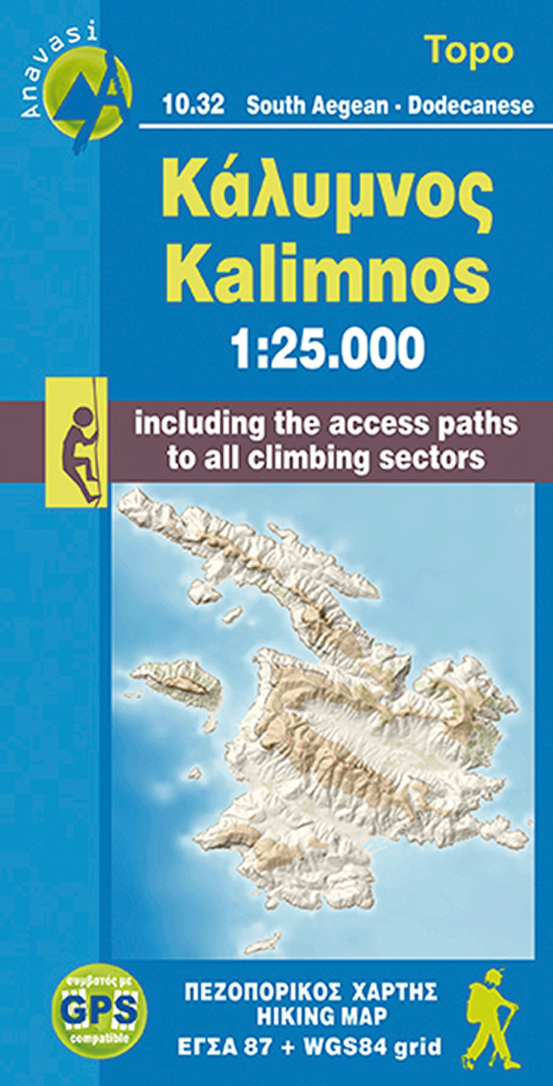
- Kalymnos - Telendos & Pserimos Anavasi 10.32
- The Dodecanese island of Kalymnos / Kalimnos on a waterproof and tear-resistant, contoured and GPS compatible map at 1:25,000 from Anavasi, highlighting hiking trails and the islands numerous rock climbing and bouldering sites.Landscape is shown by contours at 20m with altitude colouring, hill shading and spot heights. The map indicates dirt... Leer más
- Also available from:
- The Book Depository, United Kingdom
- De Zwerver, Netherlands

The Book Depository
United Kingdom
United Kingdom
- Kalimnos
- The Dodecanese island of Kalymnos / Kalimnos on a waterproof and tear-resistant, contoured and GPS compatible map at 1:25,000 from Anavasi, highlighting hiking trails and the islands numerous rock climbing and bouldering sites.Landscape is shown by contours at 20m with altitude colouring, hill shading and spot heights. The map indicates dirt... Leer más
De Zwerver
Netherlands
Netherlands
- Wandelkaart 10.32 Kalimnos | Anavasi
- The Dodecanese island of Kalymnos / Kalimnos on a waterproof and tear-resistant, contoured and GPS compatible map at 1:25,000 from Anavasi, highlighting hiking trails and the islands numerous rock climbing and bouldering sites.Landscape is shown by contours at 20m with altitude colouring, hill shading and spot heights. The map indicates dirt... Leer más

Stanfords
United Kingdom
United Kingdom
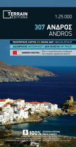
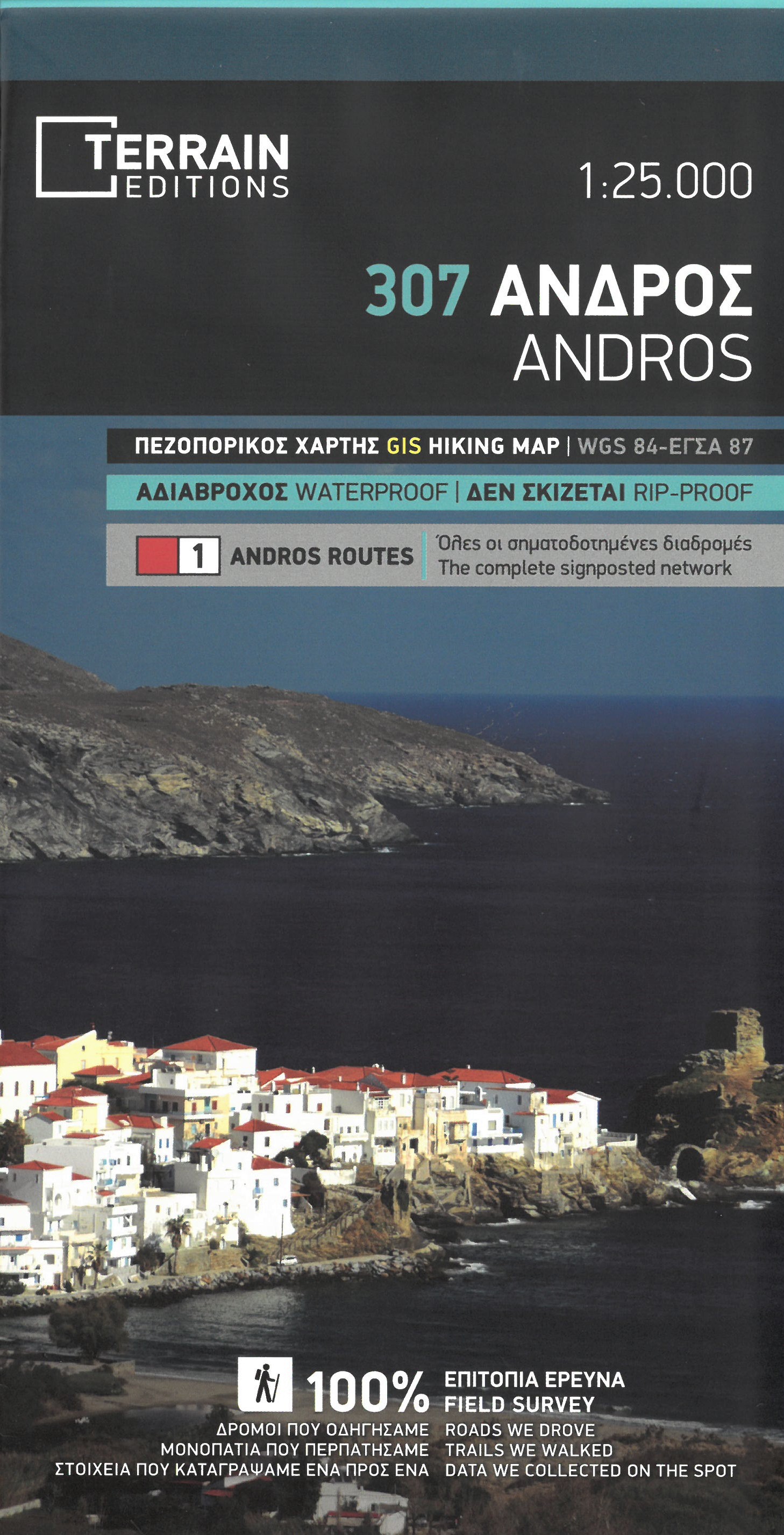
- Andros Terrain Editions 307
- Andros on a light, waterproof and tear-resistant, contoured and GPS compatible map at 1:25,000 from Terrain Editions, with a street plan of the Hora of Andros at 1:4,000, plus on the reverse descriptions of 11 specially selected hiking trails. Contours are at 100m intervals. All place names are shown in both Greek and Latin alphabet. Map legend... Leer más
- Also available from:
- The Book Depository, United Kingdom
- De Zwerver, Netherlands
The Book Depository
United Kingdom
United Kingdom
- Andros
- Gedetailleerde wegenkaart en wandelkaart met alle kleine wegen, wandelpaden, hoogtelijnen en toeristische informatie aangegeven. Alle tekst is tweetalig in Engels en Grieks en de waterproof kaart is geschikt voor gebruik met GPS. This is a great map because: It is waterproof and rip-proof. You can fold and unfold it a thousand times, fold it in... Leer más
De Zwerver
Netherlands
Netherlands
- Wandelkaart 307 Andros | Terrain maps
- Gedetailleerde wegenkaart en wandelkaart met alle kleine wegen, wandelpaden, hoogtelijnen en toeristische informatie aangegeven. Alle tekst is tweetalig in Engels en Grieks en de waterproof kaart is geschikt voor gebruik met GPS. This is a great map because: It is waterproof and rip-proof. You can fold and unfold it a thousand times, fold it in... Leer más

Stanfords
United Kingdom
United Kingdom
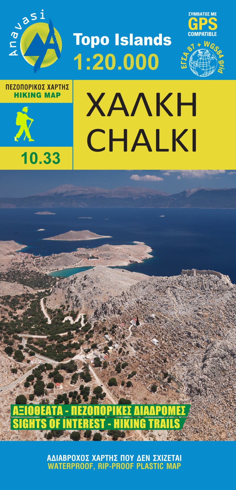
- Chalki Anavasi 10.33
- The island of Chalki at 1:20,000 on a waterproof and tear-resistant, contoured and GPS compatible map from Anavasi, with highlighting five recommended hiking routes and other useful tips, plus an enlargement showing in greater detail the Chorio archaeological site.On one side is a map of Chalki with contours at 20m intervals and hill shading to... Leer más
- Also available from:
- The Book Depository, United Kingdom
- De Zwerver, Netherlands

The Book Depository
United Kingdom
United Kingdom
- Chalki
- wandelkaart schaal 1:20.000 met hoogtelijnen, wandelpaden, toeristische informatie en UTM grid, de kaart is geschikt voor gebruik met GPS. A tiny island though very rich in monuments and ancient remains. More than 50 byzantine chappels, dozens of rock carved cisterns and old agricultural settlements and a well-preserved medieval caslte with a... Leer más
De Zwerver
Netherlands
Netherlands
- Wandelkaart 10.33 Chalki | Anavasi
- wandelkaart schaal 1:20.000 met hoogtelijnen, wandelpaden, toeristische informatie en UTM grid, de kaart is geschikt voor gebruik met GPS. A tiny island though very rich in monuments and ancient remains. More than 50 byzantine chappels, dozens of rock carved cisterns and old agricultural settlements and a well-preserved medieval caslte with a... Leer más

Stanfords
United Kingdom
United Kingdom
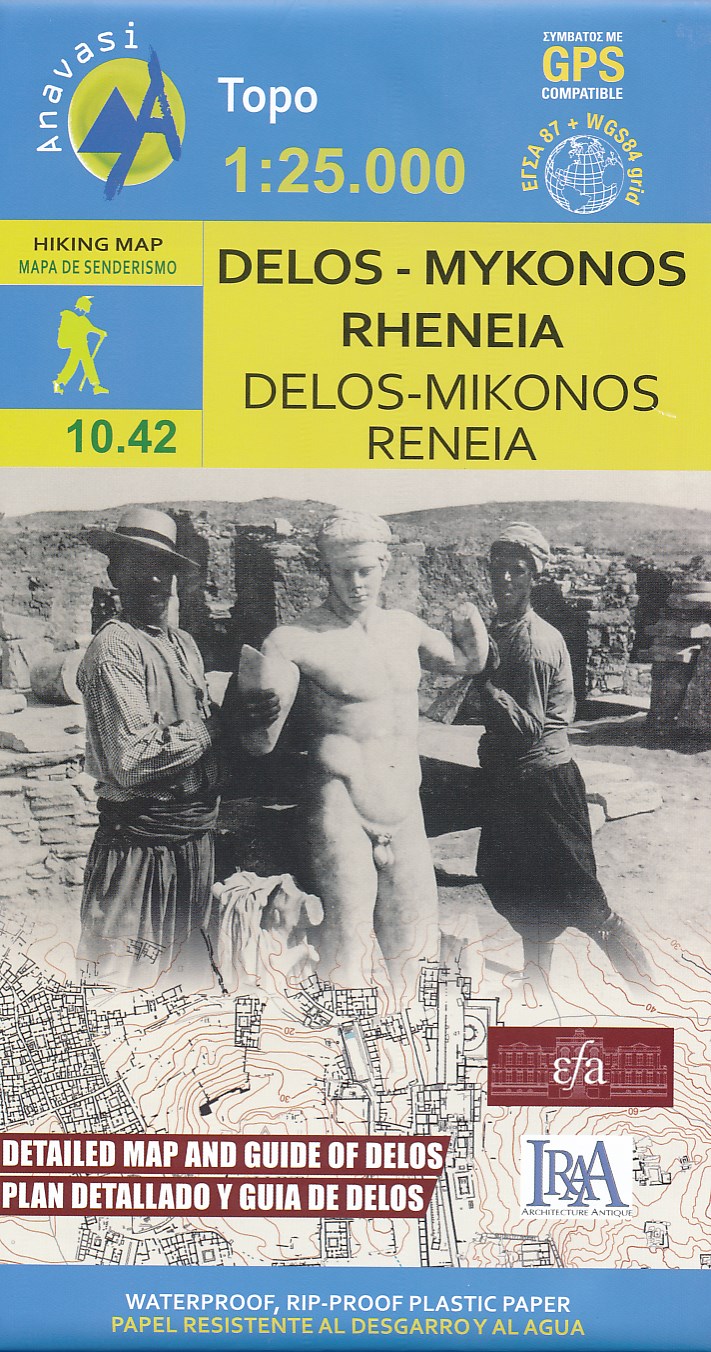
- Mykonos - Delos - Rheneia / Rineia Anavasi 10.42
- Mykonos with the nearby islands of Delos and Rineia / Rheneia on a light, waterproof and tear-resistant, GPS compatible map at 1:25,000 from Anavasi. The reverse side shows a large, very detailed plan of the archaeological remains on Delos of the temples of Apollo, Artemis and Leto.Topography of the islands is shown by contours with hill... Leer más
- Also available from:
- The Book Depository, United Kingdom
- De Zwerver, Netherlands

The Book Depository
United Kingdom
United Kingdom
- Delos - Mykonos - Rheneia
- Mykonos with the nearby islands of Delos and Rineia / Rheneia on a light, waterproof and tear-resistant, GPS compatible map at 1:25,000 from Anavasi. The reverse side shows a large, very detailed plan of the archaeological remains on Delos of the temples of Apollo, Artemis and Leto.Topography of the islands is shown by contours with hill... Leer más
De Zwerver
Netherlands
Netherlands
- Wandelkaart 10.42 Delos - Mykonos (Mikonos) - Rheneia (Reneia) | Anavasi
- Mykonos with the nearby islands of Delos and Rineia / Rheneia on a light, waterproof and tear-resistant, GPS compatible map at 1:25,000 from Anavasi. The reverse side shows a large, very detailed plan of the archaeological remains on Delos of the temples of Apollo, Artemis and Leto.Topography of the islands is shown by contours with hill... Leer más

Stanfords
United Kingdom
United Kingdom
- Kythera Terrain Editions 346a
- Greek island of Kythira on a light, waterproof and tear-resistant, contoured and GPS compatible double-sided map at 1:25,000 from Terrain Editions. All place names are shown in both Greek and Latin alphabet. Map legend and all the text include English.Maps of the Greek islands from Terrain Editions have topography well presented by contours at... Leer más
- Also available from:
- The Book Depository, United Kingdom
The Book Depository
United Kingdom
United Kingdom
- Kythera hiking
- Greek island of Kythira on a light, waterproof and tear-resistant, contoured and GPS compatible double-sided map at 1:25,000 from Terrain Editions. All place names are shown in both Greek and Latin alphabet. Map legend and all the text include English.Maps of the Greek islands from Terrain Editions have topography well presented by contours at... Leer más

Stanfords
United Kingdom
United Kingdom
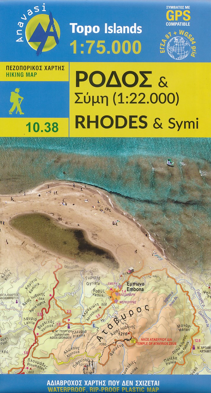
- Rhodes & Symi Anavasi 10.38
- Rhodes at 1:75,000 on a contoured, GPS compatible map from a wide coverage of the Greek islands by Anavasi, printed on light, waterproof and tear-resistant synthetic paper, with a street plan of a street plan of the Old Town, hiking suggestions, etc.The map has contours at 100m intervals with additional altitude colouring and plenty of names of... Leer más
- Also available from:
- The Book Depository, United Kingdom
- De Zwerver, Netherlands

The Book Depository
United Kingdom
United Kingdom
- Rhodes
- Rhodes at 1:75,000 on a contoured, GPS compatible map from a wide coverage of the Greek islands by Anavasi, printed on light, waterproof and tear-resistant plastic paper, with a street plan of a street plan of the Old Town, hiking suggestions, etc.The map has contours at 100m intervals with additional altitude colouring and plenty of names of... Leer más
De Zwerver
Netherlands
Netherlands
- Wandelkaart 10.38 Rhodos - Rhodes & Symi | Anavasi
- Rhodes at 1:75,000 on a contoured, GPS compatible map from a wide coverage of the Greek islands by Anavasi, printed on light, waterproof and tear-resistant plastic paper, with a street plan of a street plan of the Old Town, hiking suggestions, etc.The map has contours at 100m intervals with additional altitude colouring and plenty of names of... Leer más

Stanfords
United Kingdom
United Kingdom
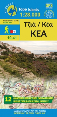
- Kea / Tzia Anavasi 10.41
- The Aegean island of Kea (Tzia) at 1:25,000 on a waterproof and tear-resistant, contoured and GPS compatible map from Anavasi, with nine recommended hiking trail and places of interest annotated with useful tips.Contours at 20m intervals and hill shading show the topography. The map indicates dirt roads in poor condition and shows location of... Leer más
- Also available from:
- The Book Depository, United Kingdom
- De Zwerver, Netherlands

The Book Depository
United Kingdom
United Kingdom
- Tzia (Kea)
- wandelkaart schaal 1:25.000 met hoogtelijnen, wandelpaden, toeristische informatie en UTM grid, de kaart is geschikt voor gebruik met GPS. Mountainous Kea, with stands of evergreen oak trees, olive and almond groves, many springs, and beautiful stone-laid paths, is ideal for hikers. Many paths are way-marked and lead to pretty, isolated beaches. Leer más
De Zwerver
Netherlands
Netherlands
- Wandelkaart 10.41 Kea (Tzia) | Anavasi
- wandelkaart schaal 1:25.000 met hoogtelijnen, wandelpaden, toeristische informatie en UTM grid, de kaart is geschikt voor gebruik met GPS. Mountainous Kea, with stands of evergreen oak trees, olive and almond groves, many springs, and beautiful stone-laid paths, is ideal for hikers. Many paths are way-marked and lead to pretty, isolated beaches. Leer más

Stanfords
United Kingdom
United Kingdom
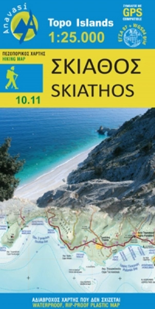
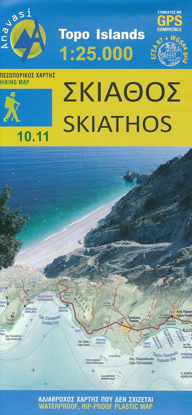
- Skiathos Anavasi 10.11
- Skiathos in the Sporades on light, a waterproof and tear-resistant, contoured and GPS compatible map at 1:25,000 from Anavasi for exploring the island on foot or by car. Landscape is vividly shown by contours at 20m with altitude colouring, hill shading and spot heights. The map indicates dirt roads in poor condition, with distances marked on... Leer más
- Also available from:
- Bol.com, Netherlands
- Bol.com, Belgium
- De Zwerver, Netherlands
Bol.com
Netherlands
Netherlands
- Skiathos
- Known for its rich vegetation and beautiful coastline, Skiathos as the other two islands of the Sproradhes group have many other surprizes in store for the traveller. With Anavasi map to guide you, discover the enchanting atmosphere of its monasteries, follow the paths to its chapels and antiquities, hidden valleys and secluded beaches. Some... Leer más
Bol.com
Belgium
Belgium
- Skiathos
- Known for its rich vegetation and beautiful coastline, Skiathos as the other two islands of the Sproradhes group have many other surprizes in store for the traveller. With Anavasi map to guide you, discover the enchanting atmosphere of its monasteries, follow the paths to its chapels and antiquities, hidden valleys and secluded beaches. Some... Leer más
De Zwerver
Netherlands
Netherlands
- Wandelkaart 10.11 Skiathos | Anavasi
- Skiathos in the Sporades on light, a waterproof and tear-resistant, contoured and GPS compatible map at 1:25,000 from Anavasi for exploring the island on foot or by car. Landscape is vividly shown by contours at 20m with altitude colouring, hill shading and spot heights. The map indicates dirt roads in poor condition, with distances marked on... Leer más

Stanfords
United Kingdom
United Kingdom
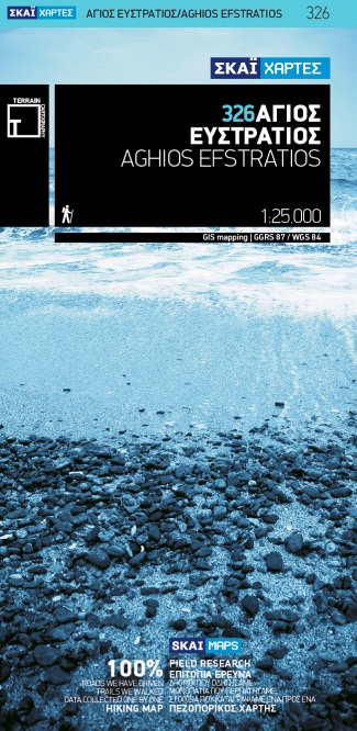
- Aghios Efstratios Terrain Editions 326
- Aghios Efstratios island in the northern Aegean Sea on a light, waterproof and tear-resistant, contoured and GPS compatible map at 1:20,000 from Terrain Editions with extensive tourist information. All place names are shown in both Greek and Latin alphabet. Map legend and all the text include English.Maps of the Greek islands from Terrain... Leer más
- Also available from:
- De Zwerver, Netherlands
De Zwerver
Netherlands
Netherlands
- Wandelkaart 326 Aghios Efstratios | Terrain maps
- Aghios Efstratios at 1:20,000 on a contoured, GPS compatible hiking map published by Terrain Cartography group together with Skai Maps, and printed on light, waterproof and tear-resistant Polyart plastic paper, with extensive tourist information.Topography is very well presented by contours, enhanced by spot heights, subtle relief shading and... Leer más