
Bélgica
Descripción
 This small kingdom has some surprisingly lovely landscapes. The Wallonian Ardennes region in the southeast is most famous among hikers, with its densely wooded river valleys and farm lands higher up on the undulating plateaus. In the northeast are the mysterious Hautes Fagnes, an upland plain of peat moors, partly in the Ardennes and partly in the Eifel region, and now a nature reserve that offers stunning beauty in all seasons. The north and west of Belgium, known as Flanders, is mostly low flat countryside, but nonetheless traversed by a myriad of long distance hiking trails, some of which lead through historic towns like Bruges and Ghent.
The majority of Belgian long distance hiking trails are known as GR's, a conveniently bi-lingual abbreviation of Grande Randonnees (French) or Grote Routepaden (Dutch). European long distance trails E2, E3 and E9 all lead through Belgium, and coincide with GR's.
Along the GR's, small hotels, B&B's and camping sites can be found in almost every village or town. Walking Belgium is a fun experience, frequently taking you back in time to what appears to be some older version of Europe. The often somewhat ramshackle towns, quaint shops and cafe's, old-fashioned politeness, excellent food and beer, there is simply no hurry to modernize, just live for the moment.
Mapa


Senderos
- DijlelandGPX
- E2GPX
- E3GPX
- E9GPX
- GB - Gaume Buissonière
- GR12 - Amsterdam - ParisGPX
- GR121 - Wavre - BoulogneGPX
- GR122 - ScheldelandGPX
- GR123 - Tour du Hainaut occidentalGPX
- GR125 - Tour de l'Entre-Sambre-et-MeuseGPX
- GR126 - Brussel-Namen-Membre sur SamoisGPX
- GR128 - VlaanderenrouteGPX
- GR129 - Dwars door BelgiëGPX
- GR130 - IJzerGPX
- GR131 - Kreken - IeperboogGPX
- GR14 - Sentier de l'ArdenneGPX
- GR15 - AE - Ardennes-EifelGPX
- GR16 - Sentier de la SemoisGPX
- GR412 - Sentier des TerrilsGPX
- GR5GPX
- GR512 - Vlaams BrabantGPX
- GR56 - Hautes Fagnes - EifelGPX
- GR561 - Kempen-MaaspadGPX
- GR563 - Tour du Pays de HerveGPX
- GR564 - Kempen - CondrozGPX
- GR565 - Renier SniederspadGPX
- GR57 - Vallée de l'OurtheGPX
- GR570 - Pays des Trois FrontièresGPX
- GR571 - Vallées des LégendesGPX
- GR573 - Hautes FagnesGPX
- GR575 - Tour du Condroz NamuroisGPX
- GR576 - Tour du Condroz LiégeoisGPX
- GR577 - Tour de la FamenneGPX
- GR579 - Brussels - LiègeGPX
- GR5a - Wandelronde van VlaanderenGPX
- GrenslandpadGPX
- Groene GordelGPX
- HagelandGPX
- HeuvellandGPX
- KempenGPX
- Kempen-BroekGPX
- Mol OmGPX
- ReynaertlandGPX
- Rhine-Meuse Trail
- Santiago de Compostela Pilgrims WayGPX
- Tour de la Vesdre
- Tour du Brabant WallonGPX
- Transardense Route
- UilenspiegelpadGPX
- Via ArduinnaGPX
- Via BrabanticaGPX
- Via BrugensisGPX
- Via Gallia BelgicaGPX
- Via LimburgicaGPX
- Via MonasticaGPX
- Via MosanaGPX
- Via Scaldea
- Via Thiérache
- Vlaamse ArdennenGPX
Regiones
Estados


Enlaces
Datos
Informes
Guías y mapas
Hospedaje
Organizaciones
Operadores turísticos
GPS
Otro
Libros
Netherlands
2015
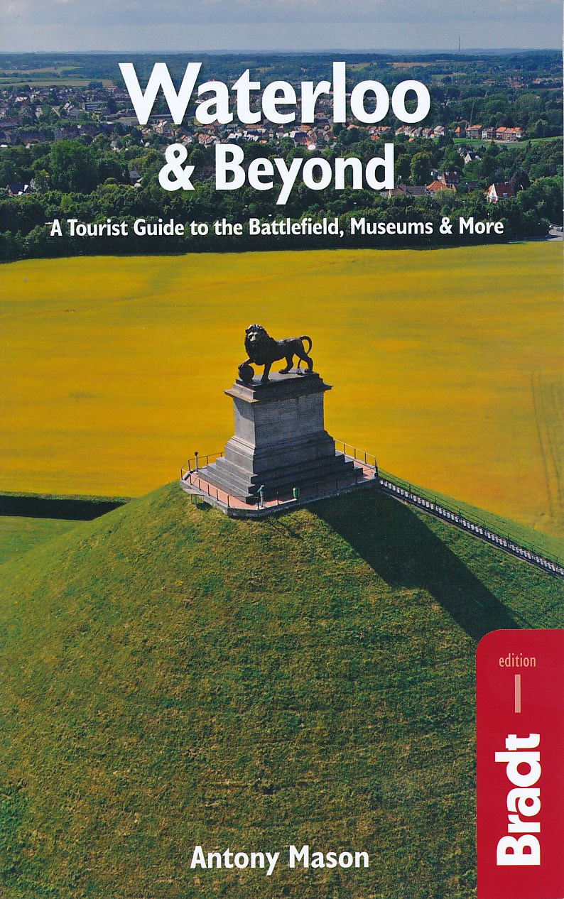
- Reisgids Waterloo & Beyond | Bradt Travel Guides
- Two hundred years after the battle, the area around Waterloo is a lovely landscape of rolling farmland containing dozens of key sites, memorials and monuments to discover. But the Waterloo region offers far more than just a battlefield. A wealth of sights beckons the curious tourist, including the historic town of Nivelles with its towering... Leer más
Netherlands
2018
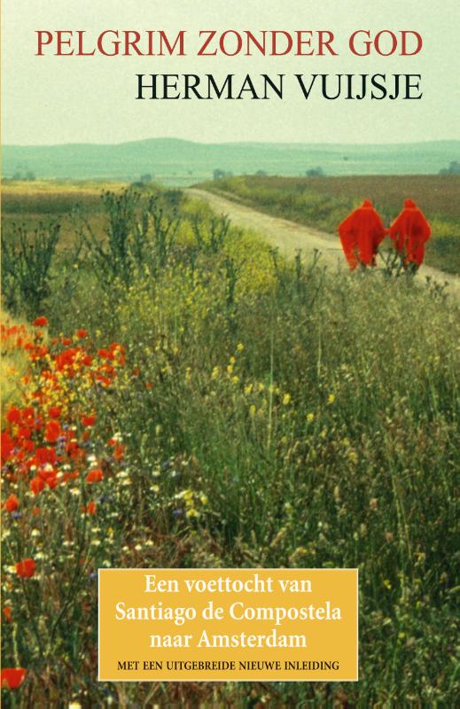
- Reisverhaal Pelgrim zonder God | Herman Vuijsje
- Bijna dertig jaar geleden, in 1989, legde Herman Vuijsje te voet de oude Sint-Jacobsroute af. Als athe�st en individualist verkoos hij de tocht alleen en in omgekeerde richting te maken: van Santiago de Compostela naar Amsterdam... Het boek dat hij over zijn tocht schreef is meer dan een reisverslag. De vier maanden durende wandeling van het nog s... Leer más


Netherlands
2016
- time to momo - Brugge
- Dit is de vernieuwde versie van de 100% Brugge-gids! Jij gaat Brugge ontdekken! Hoewel Brugge een kleine stad is, is er meer dan genoeg te beleven. De binnenstad is een verzameling van sfeervolle pleinen, oude straten en prachtige gevels. Geniet van een Brugse Zot op een terrasje langs het water, beklim het Belfort en maak een boottochtje op de... Leer más
- Also available from:
- Bol.com, Belgium
Belgium
2016
- time to momo - Brugge
- Dit is de vernieuwde versie van de 100% Brugge-gids! Jij gaat Brugge ontdekken! Hoewel Brugge een kleine stad is, is er meer dan genoeg te beleven. De binnenstad is een verzameling van sfeervolle pleinen, oude straten en prachtige gevels. Geniet van een Brugse Zot op een terrasje langs het water, beklim het Belfort en maak een boottochtje op de... Leer más
Netherlands
- Übersetzung
- Die Konstanten und Veränderungen in Tätigkeit und Selbstverständnis von Übersetzern und Philologen stehen im Zentrum dieses Bands. Es diskutierten Vertreter der Übersetzungswissenschaft, der mittellateinischen, romanischen und germanistischen Sprach- bzw. Literaturwissenschaft. Die Themen reichen von der Übersetzungsleistung der ersten Glossen... Leer más
- Also available from:
- Bol.com, Belgium
Belgium
- Übersetzung
- Die Konstanten und Veränderungen in Tätigkeit und Selbstverständnis von Übersetzern und Philologen stehen im Zentrum dieses Bands. Es diskutierten Vertreter der Übersetzungswissenschaft, der mittellateinischen, romanischen und germanistischen Sprach- bzw. Literaturwissenschaft. Die Themen reichen von der Übersetzungsleistung der ersten Glossen... Leer más
Netherlands
2023
Netherlands
Netherlands
2018
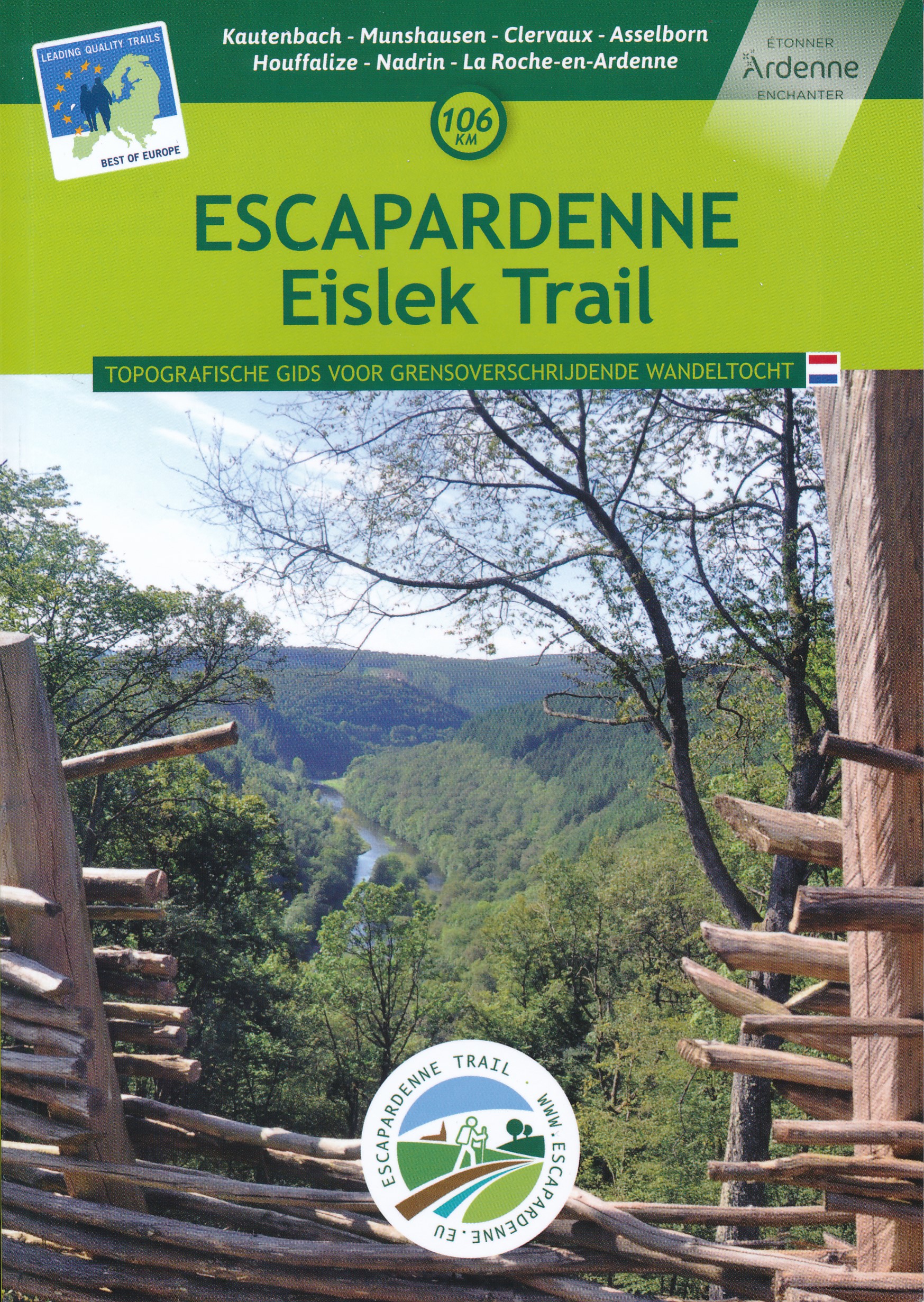
- Wandelgids Escarpardenne Eisleck Trail | Grande Traversee Ardennes
- Escapardenne Eisleck Trail loopt over 104 km van Kautenbach naar La-Roche-en-Ardenne door een schitterend deel van de Ardennen. Een nieuw langeafstandspad dat het Groothertogdom Luxemburg verbindt met de Waalse provincie Luxemburg. Grensoverschrijdend dus en niet alleen letterlijk! Dit is het eerste wandelpad in de Benelux dat werd ontworpen... Leer más
Netherlands
2015
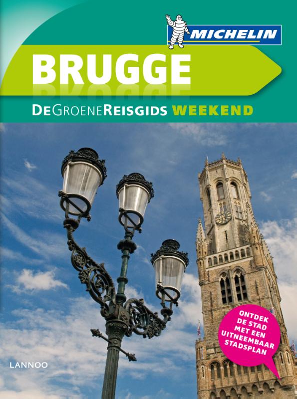
- Reisgids Michelin groene gids weekend Brugge | Lannoo
- Voor wie slechts één compacte stadsgids in zijn tas wil stoppen en toch geen enkele bezienswaardigheid of topadres wil missen. Dé gids om de stad écht te ontdekken: de plaatsen waar u de stad in zijn authenticiteit proeft, de evenementen van het ogenblik, de heerlijkste shoppingadressen... En daarbovenop, een handige kaart van het openbaar... Leer más
Netherlands
- MN Europa El Balad
- These are notes written by Egyptian travelers; travelers who have not reached their destinations yet These travelers believe that life is not measured by the number of years you live, but by the depth and value of the feelings and experiences that people go through. These travelers trotted through Germany, Canada, Belgium, America, Somalia,... Leer más
- Also available from:
- Bol.com, Belgium
Belgium
- MN Europa El Balad
- These are notes written by Egyptian travelers; travelers who have not reached their destinations yet These travelers believe that life is not measured by the number of years you live, but by the depth and value of the feelings and experiences that people go through. These travelers trotted through Germany, Canada, Belgium, America, Somalia,... Leer más
Netherlands
2019
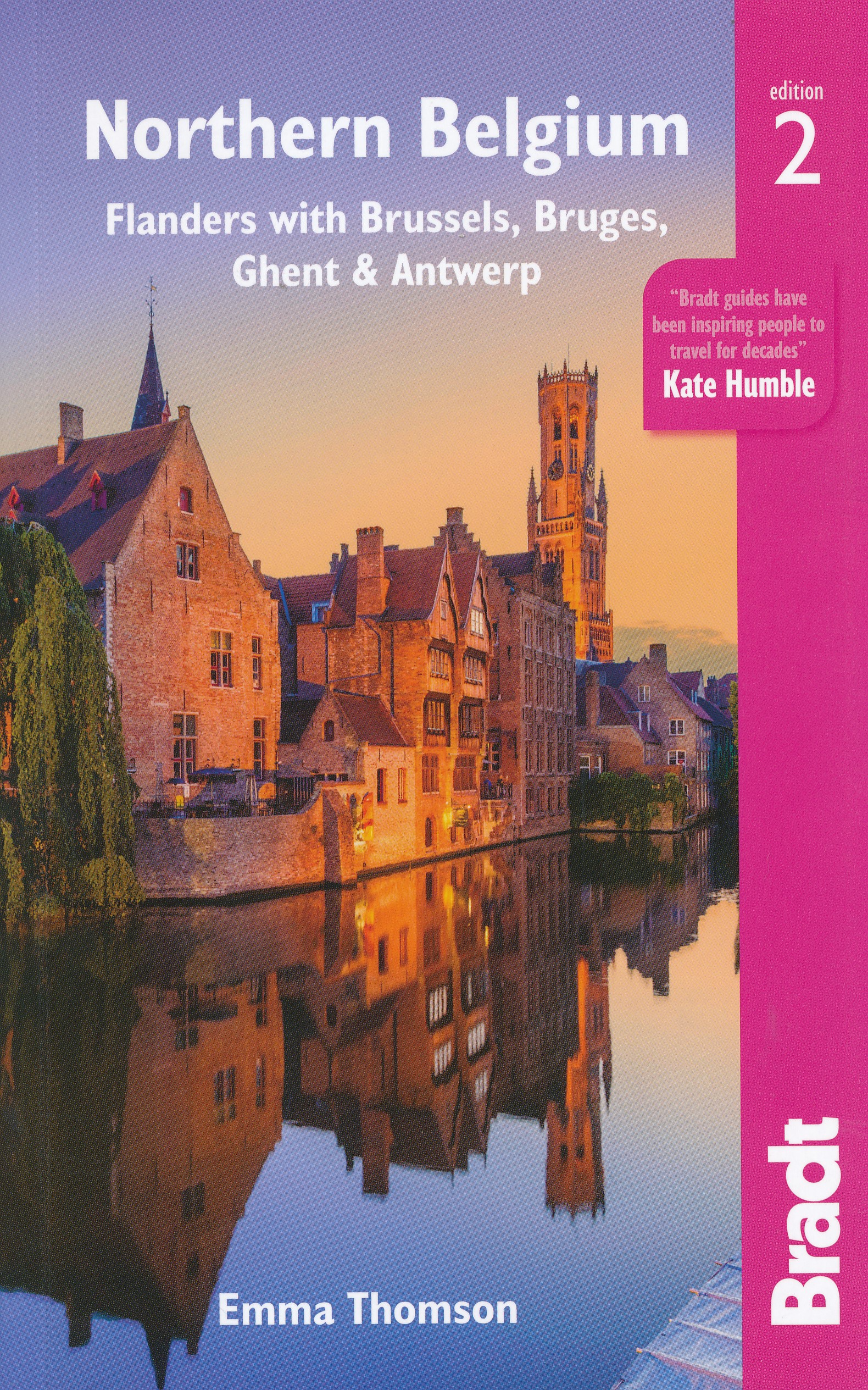
- Reisgids Travel guides Northern Belgium | Bradt Travel Guides
- Northern Belgium ab 17.49 EURO Flanders with Brussels, Bruges, Ghent and Antwerp The Bradt Travel Guide. 2nd Revised edition Leer más
Netherlands
2021
Mapas

United Kingdom
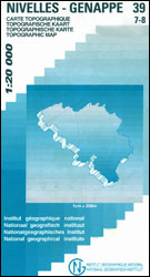
- Nivelles - Genappe: Battle of Waterloo Area 20K NGI Belgium Survey Map No. 39/7-8
- Nivelles - Genappe, map No. 39/7-8 in the topographic survey of Belgium at 1:20,000 covering an area east of the town of Nivelles including Les Quatre Bras, the site of French victory on 16th June 1815, two days before the Battle of Waterloo.Although not specifically designed to highlight locations connected with the Battle of Waterloo, the map... Leer más

United Kingdom
- Arlon NGI Topo 68-69
- Topographical survey of Belgium at 1:50,000 from the country’s national survey organization, Nationaal Geografisch Instituut / Institut Géographique National. Contour interval varies according to the terrain, from 2.5 metres in the coastal areas to 10 metres in the Ardennes. The maps provide all the information expected of topographic mapping... Leer más
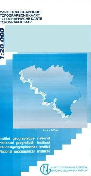
United Kingdom
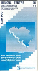
- Beloeil - Boudour
- Topographical survey of Belgium at 1:20,000 from Nationaal Geografisch Instituut / Institut Géographique National, the country’s national survey organization. Each 20K map covers one quarter of the corresponding 1:50,000 map (with adjustments in the border and coastal areas). The maps provide all the information expected of topographic mapping... Leer más

United Kingdom
- World War I Macedonian Front: Couronne
- Couronne, one of two maps covering the site of the Battle of Doiran between British and Greek troops against Bulgarian forces on the Macedonian Front during World War I. Both maps are reproductions by G.H. Smith & Son of the original British Army trench maps at approximately 7/10th of the original scale quoted against each title.This title, the... Leer más
United Kingdom
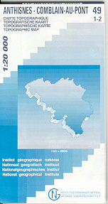
- Anthisnes - Comblain-au-Pont
- Topographical survey of Belgium at 1:20,000 from Nationaal Geografisch Instituut / Institut Géographique National, the country’s national survey organization. Each 20K map covers one quarter of the corresponding 1:50,000 map (with adjustments in the border and coastal areas). The maps provide all the information expected of topographic mapping... Leer más

United Kingdom
- Mol NGI Topo 17
- Topographical survey of Belgium at 1:50,000 from the country’s national survey organization, Nationaal Geografisch Instituut / Institut Géographique National. Contour interval varies according to the terrain, from 2.5 metres in the coastal areas to 10 metres in the Ardennes. The maps provide all the information expected of topographic mapping... Leer más

United Kingdom
- Moulin-Manteau - Moulin-de-Chestion
- Topographical survey of Belgium at 1:20,000 from Nationaal Geografisch Instituut / Institut Géographique National, the country’s national survey organization. Each 20K map covers one quarter of the corresponding 1:50,000 map (with adjustments in the border and coastal areas). The maps provide all the information expected of topographic mapping... Leer más

United Kingdom
- Florenville - Chiny
- Topographical survey of Belgium at 1:20,000 from Nationaal Geografisch Instituut / Institut Géographique National, the country’s national survey organization. Each 20K map covers one quarter of the corresponding 1:50,000 map (with adjustments in the border and coastal areas). The maps provide all the information expected of topographic mapping... Leer más
United Kingdom
- Tongeren - Herderen
- Topographical survey of Belgium at 1:20,000 from Nationaal Geografisch Instituut / Institut Géographique National, the country’s national survey organization. Each 20K map covers one quarter of the corresponding 1:50,000 map (with adjustments in the border and coastal areas). The maps provide all the information expected of topographic mapping... Leer más
United Kingdom
- Ans - Liège 20K NGI Belgium Survey Map No. 42/1-2
- Topographical survey of Belgium at 1:20,000 from Nationaal Geografisch Instituut / Institut Géographique National, the country’s national survey organization. Each 20K map covers one quarter of the corresponding 1:50,000 map (with adjustments in the border and coastal areas). The maps provide all the information expected of topographic mapping... Leer más
United Kingdom
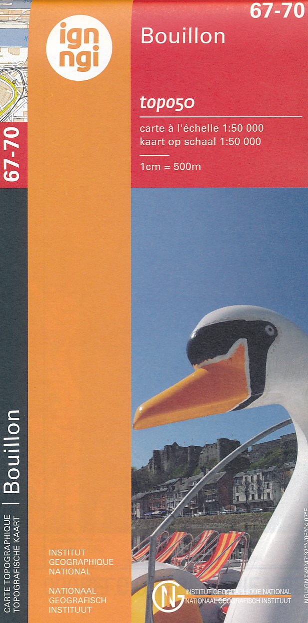
- Bouillon NGI Topo 67-70
- Topographical survey of Belgium at 1:50,000 from the country’s national survey organization, Nationaal Geografisch Instituut / Institut Géographique National. Contour interval varies according to the terrain, from 2.5 metres in the coastal areas to 10 metres in the Ardennes. The maps provide all the information expected of topographic mapping... Leer más
United Kingdom
- Jurbise - Obourg
- Topographical survey of Belgium at 1:20,000 from Nationaal Geografisch Instituut / Institut Géographique National, the country’s national survey organization. Each 20K map covers one quarter of the corresponding 1:50,000 map (with adjustments in the border and coastal areas). The maps provide all the information expected of topographic mapping... Leer más

United Kingdom
- World War I Macedonian Front: Lake Dorjan
- Lake Dorjan, one of two maps covering the site of the Battle of Doiran between British and Greek troops against Bulgarian forces on the Macedonian Front during World War I. Both maps are reproductions by G.H. Smith & Son of the original British Army trench maps at approximately 7/10th of the original scale quoted against each title.This title,... Leer más
United Kingdom
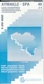
- Aywaille - Spa NGI Belgium Survey Map No. 49/3-4
- Topographical survey of Belgium at 1:20,000 from Nationaal Geografisch Instituut / Institut Géographique National, the country’s national survey organization. Each 20K map covers one quarter of the corresponding 1:50,000 map (with adjustments in the border and coastal areas). The maps provide all the information expected of topographic mapping... Leer más

United Kingdom
- Gedinne
- Topographical survey of Belgium at 1:20,000 from Nationaal Geografisch Instituut / Institut Géographique National, the country’s national survey organization. Each 20K map covers one quarter of the corresponding 1:50,000 map (with adjustments in the border and coastal areas). The maps provide all the information expected of topographic mapping... Leer más