
Idaho
Descripción
Mountainous Idaho in the northeast of the States hosts 325 miles of the Continental Divide Trail, parts of the Great Western Trail and parts of the Pacific Northwest Trail.
All these trails are of great length. But if this is not enough, you can venture on the 1200 miles pure Idaho Centennial Trail, running north-south along the crests of the Rocky Mountains with its many lakes.
Targhee National Forest borders on Yellowstone National Park (Wyoming). There is very good walking in Nez Perce National Forest, Idaho Panhandle National Forest, Sawtooth National Forest, Challis National Forest, Payette National Forest, Targhee National Forest, Salmon National Forest and others.
Mapa

Senderos en estado
Enlaces
Datos
Informes
Guías y mapas
Hospedaje
Organizaciones
Operadores turísticos
GPS
Otro
Libros

The Book Depository
United Kingdom
United Kingdom
- Idaho Day Hikes
- A Folding Guide to Easy & Accessible Trails Leer más


The Book Depository
United Kingdom
United Kingdom
- Best Rail Trails Pacific Northwest
- More Than 60 Rail Trails in Washington, Oregon, and Idaho Leer más


Bol.com
Netherlands
Netherlands
- The Cost of Being Green Before Green Was Cool
- In April of "93 and March of "97 the editors of Western Outdoor News took the California Department of Fish and Game to task for under-reporting mountain lion involvement in disappearances. University of Idaho Statistic Professor Kirk Trigsted conducted Permutation Tests on multiple disappearances in nine different areas of Ca. that clearly... Leer más
- Also available from:
- Bol.com, Belgium
Bol.com
Belgium
Belgium
- The Cost of Being Green Before Green Was Cool
- In April of "93 and March of "97 the editors of Western Outdoor News took the California Department of Fish and Game to task for under-reporting mountain lion involvement in disappearances. University of Idaho Statistic Professor Kirk Trigsted conducted Permutation Tests on multiple disappearances in nine different areas of Ca. that clearly... Leer más
Bol.com
Netherlands
Netherlands
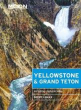
- Moon Yellowstone & Grand Teton (Eighth Edition)
- Find Your Adventure with Moon Travel Guides!Forge your way through forests, across mountain peaks, past geysers, and more with Moon Yellowstone & Grand Teton. Inside you'll find:Itineraries for every timeline, budget, and travel style, ranging from one day in each national park to a week-long road trip covering bothThe top activities and unique... Leer más
- Also available from:
- Bol.com, Belgium
Bol.com
Belgium
Belgium
- Moon Yellowstone & Grand Teton (Eighth Edition)
- Find Your Adventure with Moon Travel Guides!Forge your way through forests, across mountain peaks, past geysers, and more with Moon Yellowstone & Grand Teton. Inside you'll find:Itineraries for every timeline, budget, and travel style, ranging from one day in each national park to a week-long road trip covering bothThe top activities and unique... Leer más

Bol.com
Netherlands
Netherlands
- Continental Divide Trail Pocket Maps - Wyoming
- Wyoming1st Edition - December 15, 2014The Continental Divide Trail Pocket Map Series is a complete and concise set of topographic maps created withdigitized base maps covering every step of the 3,016 mile trail from Mexico to Canada.The most current data available! This reflects the recently located, official CDTThe land cover, hydrology and... Leer más
- Also available from:
- Bol.com, Belgium
Bol.com
Belgium
Belgium
- Continental Divide Trail Pocket Maps - Wyoming
- Wyoming1st Edition - December 15, 2014The Continental Divide Trail Pocket Map Series is a complete and concise set of topographic maps created withdigitized base maps covering every step of the 3,016 mile trail from Mexico to Canada.The most current data available! This reflects the recently located, official CDTThe land cover, hydrology and... Leer más
Bol.com
Netherlands
Netherlands
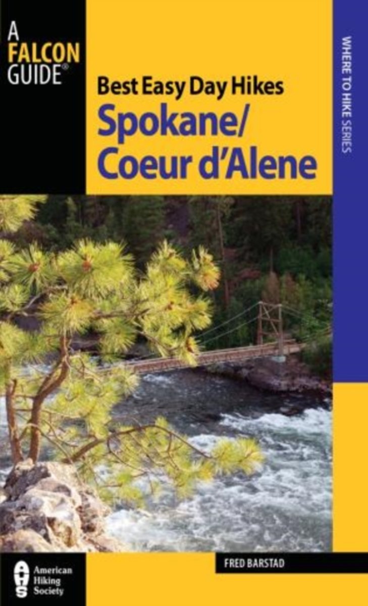
- Best Easy Day Hikes Spokane/Coeur d'Alene
- Best Easy Day Hikes Spokane/Coeur d'Alene includes concise descriptions and detailed maps for 22 easy-to-follow trails in Washington and Idaho that allow hikers of all levels to enjoy beautiful views, get fit in the outdoors, and learn about the region's history. Look inside for:Casual hikes to full-day adventuresAfter-dinner strolls to... Leer más
- Also available from:
- Bol.com, Belgium
Bol.com
Belgium
Belgium
- Best Easy Day Hikes Spokane/Coeur d'Alene
- Best Easy Day Hikes Spokane/Coeur d'Alene includes concise descriptions and detailed maps for 22 easy-to-follow trails in Washington and Idaho that allow hikers of all levels to enjoy beautiful views, get fit in the outdoors, and learn about the region's history. Look inside for:Casual hikes to full-day adventuresAfter-dinner strolls to... Leer más
Bol.com
Netherlands
Netherlands
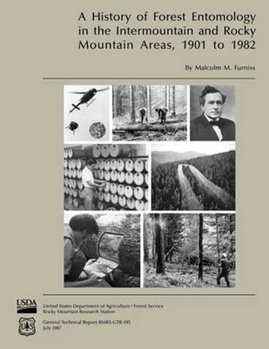
- A History of Forest Entomology in the Intermountain and Rocky Mountain Areas, 1901 to 1982
- This account spans the time from A.D. Hopkins trip to the Black Hills, SD, in 1901 to my retirement in 1982. The focus is on personnel and the work of the Division of Forest Insect Investigations, USDA, and the Forest Service experiment stations in the Rocky Mountain and Intermountain areas. Information for the Intermountain and Northern Rocky... Leer más
- Also available from:
- Bol.com, Belgium
Bol.com
Belgium
Belgium
- A History of Forest Entomology in the Intermountain and Rocky Mountain Areas, 1901 to 1982
- This account spans the time from A.D. Hopkins trip to the Black Hills, SD, in 1901 to my retirement in 1982. The focus is on personnel and the work of the Division of Forest Insect Investigations, USDA, and the Forest Service experiment stations in the Rocky Mountain and Intermountain areas. Information for the Intermountain and Northern Rocky... Leer más
Bol.com
Netherlands
Netherlands
- U. S. Road Trip Journal
- U. S. Road Trip Journal is a guided journal designed to help detail memories of your road trips around the United States. The Journal holds up to 51 days worth of travel. Other covers exist so you can get another volume when this one is full.Each day gets 4 pages. On Page 1 of each day you record Trip/Destination, Date, Day ___ of ___,... Leer más
- Also available from:
- Bol.com, Belgium
Bol.com
Belgium
Belgium
- U. S. Road Trip Journal
- U. S. Road Trip Journal is a guided journal designed to help detail memories of your road trips around the United States. The Journal holds up to 51 days worth of travel. Other covers exist so you can get another volume when this one is full.Each day gets 4 pages. On Page 1 of each day you record Trip/Destination, Date, Day ___ of ___,... Leer más

Bol.com
Netherlands
Netherlands
- An Ultralighter's True Trail Stories
- Book two in the Journey series, this volume is filled with stories and ultralight backpacking tips from Carol "Brawny" Wellman. Trail descriptions for the Pacific Crest Trail, Appalachian Trail, John Muir Trail, Continental Divide Trail, Colorado Trail, Vermont Trail, Bartram Trail, including trail guide, plus the Foothills Trail. Learn how to... Leer más
- Also available from:
- Bol.com, Belgium
Bol.com
Belgium
Belgium
- An Ultralighter's True Trail Stories
- Book two in the Journey series, this volume is filled with stories and ultralight backpacking tips from Carol "Brawny" Wellman. Trail descriptions for the Pacific Crest Trail, Appalachian Trail, John Muir Trail, Continental Divide Trail, Colorado Trail, Vermont Trail, Bartram Trail, including trail guide, plus the Foothills Trail. Learn how to... Leer más
Bol.com
Netherlands
Netherlands
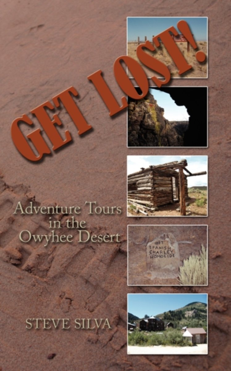
- Get Lost!
- The Owyhee Desert is a vast expanse covering much of Southwest Idaho, Eastern Oregon, and Northern Nevada. It represents a wild frontier for dual sport riding and touring. The area is famous for its rough but spectacular terrain, and its vivid history. Now, finally, a guidebook to what many have referred to as the most remote piece of real... Leer más
- Also available from:
- Bol.com, Belgium
Bol.com
Belgium
Belgium
- Get Lost!
- The Owyhee Desert is a vast expanse covering much of Southwest Idaho, Eastern Oregon, and Northern Nevada. It represents a wild frontier for dual sport riding and touring. The area is famous for its rough but spectacular terrain, and its vivid history. Now, finally, a guidebook to what many have referred to as the most remote piece of real... Leer más
Bol.com
Netherlands
Netherlands
- Northern Idaho Impressions
- From the Silver Corridor (Wallce to Kellogg), through the Coeur d'Alene and Sandpoint areas and Bonners Ferry to the Canadian border, the photographer proves himself an interesting, knowledgeable guide to the lakes, mountain ranges, and rivers. The images convey the region's natural beauty and a smattering of images from the impressive Selkirk... Leer más
- Also available from:
- Bol.com, Belgium
Bol.com
Belgium
Belgium
- Northern Idaho Impressions
- From the Silver Corridor (Wallce to Kellogg), through the Coeur d'Alene and Sandpoint areas and Bonners Ferry to the Canadian border, the photographer proves himself an interesting, knowledgeable guide to the lakes, mountain ranges, and rivers. The images convey the region's natural beauty and a smattering of images from the impressive Selkirk... Leer más

Bol.com
Netherlands
Netherlands
- Gravel Cycling
- Head out for adventure on the unpaved back roads of America with Nick Legans complete guide to gravel grinders and bikepacking!Gravel cycling is a glorious return to the purest roots of two-wheeled adventure. From farm roads and miners paths to the high passes of the Rockies and the Alps, gravel cycling and bikepacking will set you free to... Leer más
- Also available from:
- Bol.com, Belgium
Bol.com
Belgium
Belgium
- Gravel Cycling
- Head out for adventure on the unpaved back roads of America with Nick Legans complete guide to gravel grinders and bikepacking!Gravel cycling is a glorious return to the purest roots of two-wheeled adventure. From farm roads and miners paths to the high passes of the Rockies and the Alps, gravel cycling and bikepacking will set you free to... Leer más

The Book Depository
United Kingdom
United Kingdom
- Best Rail Trails Pacific Northwest
- More Than 60 Rail Trails in Washington, Oregon, and Idaho Leer más
- Also available from:
- Bol.com, Netherlands
- Bol.com, Belgium

Bol.com
Netherlands
Netherlands
- Best Rail Trails Pacific Northwest
- Best Rail Trails Pacific Northwest is the complete guide to walking, jogging, biking, and cross-country skiing more than sixty of the best rail trails in one of the most beautiful and geographically varied reaches of America. Written by a local author with expert knowledge of the region, this easy-to-use book provides mile-by-mile descriptions... Leer más
Bol.com
Belgium
Belgium
- Best Rail Trails Pacific Northwest
- Best Rail Trails Pacific Northwest is the complete guide to walking, jogging, biking, and cross-country skiing more than sixty of the best rail trails in one of the most beautiful and geographically varied reaches of America. Written by a local author with expert knowledge of the region, this easy-to-use book provides mile-by-mile descriptions... Leer más
Mapas

Stanfords
United Kingdom
United Kingdom
- Greater Yellowstone & Grand Teton Benchnark Maps Recreation Atlas & Guide
- Greater Yellowstone and Grand Teton Recreation Atlas & Guide from Benchmark Maps in an A4 paperback format, with coverage of the two parks on detailed, GPS compatible “Recreational” section at 1:100,000, regional map coverage of a wider area, plus a 10-page recreational guide with list of various facilities, etc.The more detailed “Landscape”... Leer más

Stanfords
United Kingdom
United Kingdom
- Old Faithful - Yellowstone National Park SW WY/MT
- Map No. 302, Yellowstone SW: Old Faithful, WY/MT, in an extensive series of GPS compatible, contoured hiking maps of USA’s national and state parks or forests and other popular recreational areas. Cartography based on the national topographic survey, with additional tourist information.The maps, with most titles now printed on light, waterproof... Leer más
- Also available from:
- The Book Depository, United Kingdom
- De Zwerver, Netherlands

The Book Depository
United Kingdom
United Kingdom
- Yellowstone Sw/old Faithful
- Trails Illustrated National Parks Leer más

De Zwerver
Netherlands
Netherlands
- Wandelkaart - Topografische kaart 302 Old Faithful, Yellowstone National Park SW | National Geographic
- Prachtige geplastificeerde kaart van het bekende nationaal park. Met alle recreatieve voorzieningen als campsites, maar ook met topografische details en wandelroutes ed. Door uitgekiend kleurgebruik zeer prettig in gebruik. Scheur en watervast! Beautiful waterproof and tear-resistant topographical hiking map of a well-loved National Park, with... Leer más

Stanfords
United Kingdom
United Kingdom
- Idaho Springs - Loveland Pass CO
- Map No. 104, Idaho Springs - Loveland Pass in Colorado at 1:40,680 in an extensive series of GPS compatible, contoured hiking maps of USA’s national and state parks or forests and other popular recreational areas. Cartography is based on the national topographic survey, with additional tourist information.The maps, with most titles now printed... Leer más
- Also available from:
- The Book Depository, United Kingdom


Stanfords
United Kingdom
United Kingdom
- Glacier - Waterton Lakes National Park MT
- Map No. 215, Glacier/Waterton Lakes National Park, MT, in an extensive series of GPS compatible, contoured hiking maps of USA’s national and state parks or forests and other popular recreational areas. Cartography based on the national topographic survey, with additional tourist information.The maps, with most titles now printed on light,... Leer más
- Also available from:
- Bol.com, Netherlands
- Bol.com, Belgium
- De Zwerver, Netherlands

Bol.com
Netherlands
Netherlands
- Glacier/waterton Lakes National Parks
- Waterproof Tear-Resistant Topographic MapNational Geographic's Trails Illustrated map of Glacier and Waterton Lakes National Parks offers unparalleled detail for outdoor enthusiasts exploring the pristine landscape of forests, mountains, lakes, and meadows within these two spectacular parks. Created in partnership with local land... Leer más
Bol.com
Belgium
Belgium
- Glacier/waterton Lakes National Parks
- Waterproof Tear-Resistant Topographic MapNational Geographic's Trails Illustrated map of Glacier and Waterton Lakes National Parks offers unparalleled detail for outdoor enthusiasts exploring the pristine landscape of forests, mountains, lakes, and meadows within these two spectacular parks. Created in partnership with local land... Leer más

De Zwerver
Netherlands
Netherlands
- Wandelkaart - Topografische kaart 215 Glacier - Waterton Lakes National Park | National Geographic
- Prachtige geplastificeerde kaart van het bekende nationaal park. Met alle recreatieve voorzieningen als campsites, maar ook met topografische details en wandelroutes ed. Door uitgekiend kleurgebruik zeer prettig in gebruik. Scheur en watervast! Waterton Lakes National Park, Canada includes Waterton Park, Upper and Middle Waterton Lakes, The... Leer más

Stanfords
United Kingdom
United Kingdom
- Yellowstone National Park WY/MT NGS Trails Illustrated Map 201
- Map No. 201, Yellowstone National Park, WY/MT, in an extensive series of GPS compatible, contoured hiking maps of USA’s national and state parks or forests and other popular recreational areas. Cartography based on the national topographic survey, with additional tourist information.The maps, with most titles now printed on light, waterproof... Leer más
- Also available from:
- The Book Depository, United Kingdom
- Bol.com, Netherlands
- Bol.com, Belgium
- De Zwerver, Netherlands

The Book Depository
United Kingdom
United Kingdom
- Yellowstone National Park
- Trails Illustrated National Parks Leer más

Bol.com
Netherlands
Netherlands
- Yellowstone National Park
- Waterproof Tear-Resistant Topographic MapNational Geographic's Trails Illustrated map of Yellowstone National Park is designed to meet the needs of outdoor enthusiasts by combining valuable information with unmatched detail of America's first national park. Expertly researched and created in partnership with local land management... Leer más
Bol.com
Belgium
Belgium
- Yellowstone National Park
- Waterproof Tear-Resistant Topographic MapNational Geographic's Trails Illustrated map of Yellowstone National Park is designed to meet the needs of outdoor enthusiasts by combining valuable information with unmatched detail of America's first national park. Expertly researched and created in partnership with local land management... Leer más

De Zwerver
Netherlands
Netherlands
- Wandelkaart - Topografische kaart 201 Trails Illustrated Yellowstone National Park | National Geographic
- Prachtige geplastificeerde kaart van het bekende nationaal park. Met alle recreatieve voorzieningen als campsites, maar ook met topografische details en wandelroutes ed. Door uitgekiend kleurgebruik zeer prettig in gebruik. Scheur en watervast! Detailed and accurate coverage for Yellowstone National Park. Includes a detailed road network and... Leer más

Stanfords
United Kingdom
United Kingdom
- North Fork - Glacier National Park MT NGS Trails Illustrated Map 313
- Map No. 314, Glacier National Park: Many Glacier, MT, in an extensive series of GPS compatible, contoured hiking maps of USA’s national and state parks or forests and other popular recreational areas. Cartography based on the national topographic survey, with additional tourist information.The maps, with most titles now printed on light,... Leer más
- Also available from:
- Bol.com, Netherlands
- Bol.com, Belgium

Bol.com
Netherlands
Netherlands
- North Fork, Glacier National Park
- Waterproof Tear-Resistant Topographic MapLocated just north of Kalispell in Montana's northwest corner, Glacier National contains an abundance of recreational opportunities for outdoor enthusiasts of all interests.This detailed topographic recreation map contains carefully researched trails, campsites, forest service roads, and... Leer más
Bol.com
Belgium
Belgium
- North Fork, Glacier National Park
- Waterproof Tear-Resistant Topographic MapLocated just north of Kalispell in Montana's northwest corner, Glacier National contains an abundance of recreational opportunities for outdoor enthusiasts of all interests.This detailed topographic recreation map contains carefully researched trails, campsites, forest service roads, and... Leer más


De Zwerver
Netherlands
Netherlands
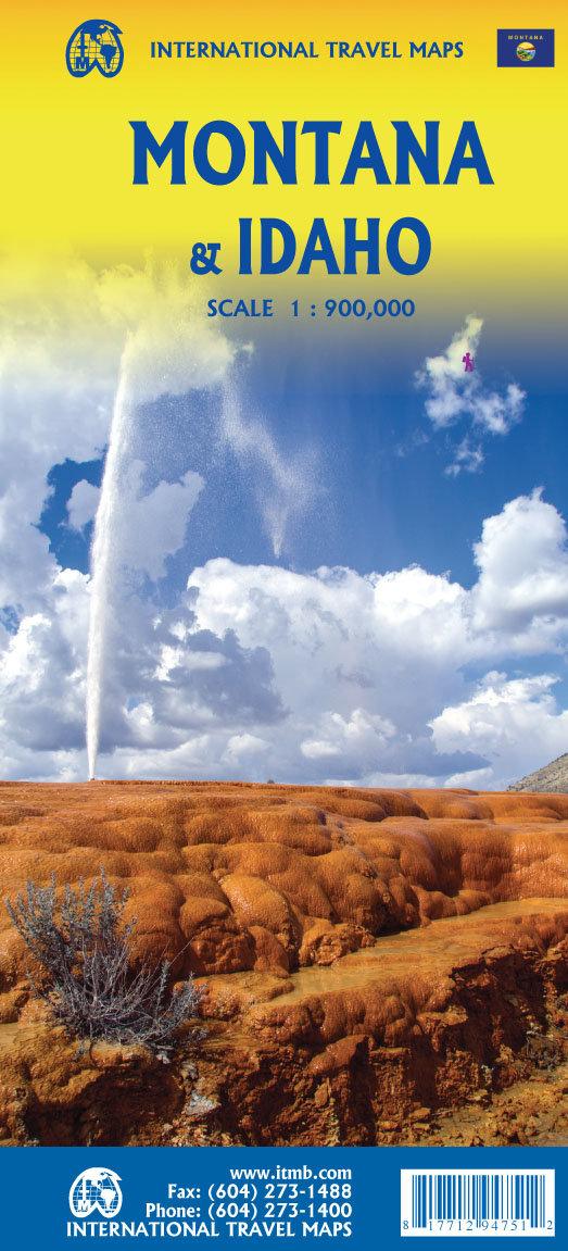
- Wegenkaart - landkaart Idaho, Montana & Wyoming | ITMB
- Idaho,Montana & Wyoming Travel Reference Map 1 : 1 000 000 ab 10.49 EURO International Travel Map ITM. 1st Edition Leer más

Stanfords
United Kingdom
United Kingdom
- Many Glacier - Glacier and Waterton Lakes National Parks MT
- Map No. 313, Glacier National Park: North Fork, MT, in an extensive series of GPS compatible, contoured hiking maps of USA’s national and state parks or forests and other popular recreational areas. Cartography based on the national topographic survey, with additional tourist information.The maps, with most titles now printed on light,... Leer más
- Also available from:
- Bol.com, Netherlands
- Bol.com, Belgium
- De Zwerver, Netherlands

Bol.com
Netherlands
Netherlands
- Many Glacier, Glacier National Park
- Waterproof Tear-Resistant Topographic MapLocated just north of Kalispell in Montana's northwest corner, Glacier National contains an abundance of recreational opportunities for outdoor enthusiasts of all interests.This detailed topographic recreation map contains carefully researched trails, campsites, forest service roads, and... Leer más
Bol.com
Belgium
Belgium
- Many Glacier, Glacier National Park
- Waterproof Tear-Resistant Topographic MapLocated just north of Kalispell in Montana's northwest corner, Glacier National contains an abundance of recreational opportunities for outdoor enthusiasts of all interests.This detailed topographic recreation map contains carefully researched trails, campsites, forest service roads, and... Leer más

De Zwerver
Netherlands
Netherlands
- Wandelkaart - Topografische kaart 314 Many Glacier - Glacier and Waterton Lakes National Parks | National Geographic
- Prachtige geplastificeerde kaart van het bekende nationaal park. Met alle recreatieve voorzieningen als campsites, maar ook met topografische details en wandelroutes ed. Door uitgekiend kleurgebruik zeer prettig in gebruik. Scheur en watervast! Located just north of Kalispell in Montana's northwest corner, Glacier National contains an... Leer más

Stanfords
United Kingdom
United Kingdom
- Telluride - Silverton - Ouray - Lake City CO
- Map No. 141, Telluride - Silverton - Ouray - Lake City, CO, in an extensive series of GPS compatible, contoured hiking maps of USA’s national and state parks or forests and other popular recreational areas. Cartography based on the national topographic survey, with additional tourist information.The maps, with most titles now printed on light,... Leer más
- Also available from:
- The Book Depository, United Kingdom
- Bol.com, Netherlands
- Bol.com, Belgium
- De Zwerver, Netherlands


Bol.com
Netherlands
Netherlands
- Telluride/silverton/ouray/lake City
- Waterproof Tear-Resistant Topographic MapExpertly researched and created in partnership with local land management agencies, National Geographic's Trails Illustrated map of Telluride, Silverton, Ouray, and Lake City provides an unparalleled tool for exploring this breathtaking region of Colorado. Whatever the season, you'll find this map... Leer más
Bol.com
Belgium
Belgium
- Telluride/silverton/ouray/lake City
- Waterproof Tear-Resistant Topographic MapExpertly researched and created in partnership with local land management agencies, National Geographic's Trails Illustrated map of Telluride, Silverton, Ouray, and Lake City provides an unparalleled tool for exploring this breathtaking region of Colorado. Whatever the season, you'll find this map... Leer más

De Zwerver
Netherlands
Netherlands
- Wandelkaart - Topografische kaart 141 Telluride, Silverton, Ouray, Lake City | National Geographic
- Prachtige geplastificeerde kaart van het bekende nationaal park. Met alle recreatieve voorzieningen als campsites, maar ook met topografische details en wandelroutes ed. Door uitgekiend kleurgebruik zeer prettig in gebruik. Scheur en watervast! Beautiful waterproof and tear-resistant topographical hiking map of a well-loved National Park, with... Leer más

Bol.com
Netherlands
Netherlands
- Grand Canyon East
- Waterproof Tear-Resistant Topographic MapGrand Canyon East (#262) and Grand Canyon West (#263) combine to cover the entire Grand Canyon National Park and its bordering public lands. Both maps contain detailed and easy-to-read trail and road networks, locations of facilities, points of interest, and highly accurate terrain with thousands... Leer más
- Also available from:
- Bol.com, Belgium
- De Zwerver, Netherlands
Bol.com
Belgium
Belgium
- Grand Canyon East
- Waterproof Tear-Resistant Topographic MapGrand Canyon East (#262) and Grand Canyon West (#263) combine to cover the entire Grand Canyon National Park and its bordering public lands. Both maps contain detailed and easy-to-read trail and road networks, locations of facilities, points of interest, and highly accurate terrain with thousands... Leer más

De Zwerver
Netherlands
Netherlands
- Wandelkaart 262 Grand Canyon East - Oost | National Geographic
- Prachtige geplastificeerde kaart van het nationaal park. Met alle recreatieve voorzieningen als campsites, maar ook met topografische details en wandelroutes ed. Door uitgekiend kleurgebruik zeer prettig in gebruik. Scheur en watervast! Grand Canyon East (#262) and Grand Canyon West (#263) combine to cover the entire Grand Canyon National Park... Leer más

Stanfords
United Kingdom
United Kingdom
- Bryce Canyon National Park UT NGS Trails Illustrated Map 219
- Map No. 219, Bryce Canyon National Park, UT, in an extensive series of GPS compatible, contoured hiking maps of USA’s national and state parks or forests and other popular recreational areas. Cartography based on the national topographic survey, with additional tourist information.The maps, with most titles now printed on light, waterproof and... Leer más
- Also available from:
- The Book Depository, United Kingdom
- Bol.com, Netherlands
- Bol.com, Belgium
- De Zwerver, Netherlands

The Book Depository
United Kingdom
United Kingdom
- Bryce Canyon National Park
- Trails Illustrated National Parks Leer más

Bol.com
Netherlands
Netherlands
- Bryce Canyon National Park
- Waterproof Tear-Resistant Topographic MapNational Geographic's Trails Illustrated map of Bryce Canyon National Park is designed to meet the needs of outdoor enthusiasts by combining valuable information with unmatched detail of this unique landscape of hoodoos and forest. Created in partnership with local land management agencies, this... Leer más
Bol.com
Belgium
Belgium
- Bryce Canyon National Park
- Waterproof Tear-Resistant Topographic MapNational Geographic's Trails Illustrated map of Bryce Canyon National Park is designed to meet the needs of outdoor enthusiasts by combining valuable information with unmatched detail of this unique landscape of hoodoos and forest. Created in partnership with local land management agencies, this... Leer más

De Zwerver
Netherlands
Netherlands
- Wandelkaart - Topografische kaart 219 Bryce Canyon National Park | National Geographic
- Prachtige geplastificeerde kaart van het bekende nationaal park. Met alle recreatieve voorzieningen als campsites, maar ook met topografische details en wandelroutes ed. Door uitgekiend kleurgebruik zeer prettig in gebruik. Scheur en watervast! This informative Trails Illustrated map will help you plan trips and explore the area in and around... Leer más

Stanfords
United Kingdom
United Kingdom
- Olympic National Park WA
- Map No. 216, Olympic National Park, WA, in an extensive series of GPS compatible, contoured hiking maps of USA’s national and state parks or forests and other popular recreational areas. Cartography based on the national topographic survey, with additional tourist information.The maps, with most titles now printed on light, waterproof and... Leer más
- Also available from:
- Bol.com, Netherlands
- Bol.com, Belgium
- De Zwerver, Netherlands

Bol.com
Netherlands
Netherlands
- Olympic National Park
- Waterproof Tear-Resistant Topographic MapOlympic National Park encompasses four distinctly different ecosystems in its nearly one million acres. National Geographic's Trails Illustrated map of Olympic National Park offers outdoors enthusiasts a valuable tool for exploring the park's old-growth forests, glaciers, untamed rivers, and rugged... Leer más
Bol.com
Belgium
Belgium
- Olympic National Park
- Waterproof Tear-Resistant Topographic MapOlympic National Park encompasses four distinctly different ecosystems in its nearly one million acres. National Geographic's Trails Illustrated map of Olympic National Park offers outdoors enthusiasts a valuable tool for exploring the park's old-growth forests, glaciers, untamed rivers, and rugged... Leer más

De Zwerver
Netherlands
Netherlands
- Wandelkaart 216 Olympic National Park | National Geographic
- Prachtige geplastificeerde kaart van het bekende nationaal park. Met alle recreatieve voorzieningen als campsites, maar ook met topografische details en wandelroutes ed. Door uitgekiend kleurgebruik zeer prettig in gebruik. Scheur en watervast! Within the park, there is detailed coverage of Mount Olympus, Tshletshy Ridge, Hurrican Ridge,... Leer más