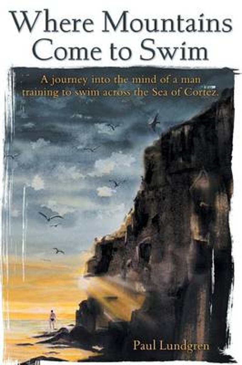
Where Mountains Come to Swim Oftentimes, when alone and pondering the meaning of life and memories of the past, insightful revelations are realized. That is the case during the author's swim in his attempt to cross the Sea of Cortez. After failed attempts, Paul is determined to try again in conquering this challenge, bringing his wife and...Leer más
Where Mountains Come to Swim Oftentimes, when alone and pondering the meaning of life and memories of the past, insightful revelations are realized. That is the case during the author's swim in his attempt to cross the Sea of Cortez. After failed attempts, Paul is determined to try again in conquering this challenge, bringing his wife and...Leer más
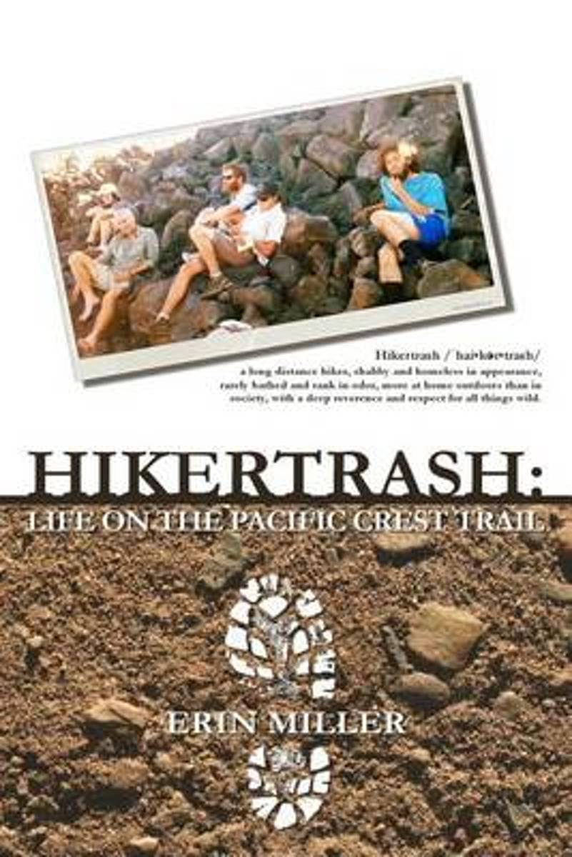
Teetering awkwardly on the brink of insanity, unable to handle life in snowy, cold, ultra-conservative North Idaho, Carl and Erin sold their house and set out in search of a new place to call home. Suddenly finding themselves completely free of responsibilities, jobless, and with a little spare cash in the bank, it didn't take long before their...Leer más
Teetering awkwardly on the brink of insanity, unable to handle life in snowy, cold, ultra-conservative North Idaho, Carl and Erin sold their house and set out in search of a new place to call home. Suddenly finding themselves completely free of responsibilities, jobless, and with a little spare cash in the bank, it didn't take long before their...Leer más
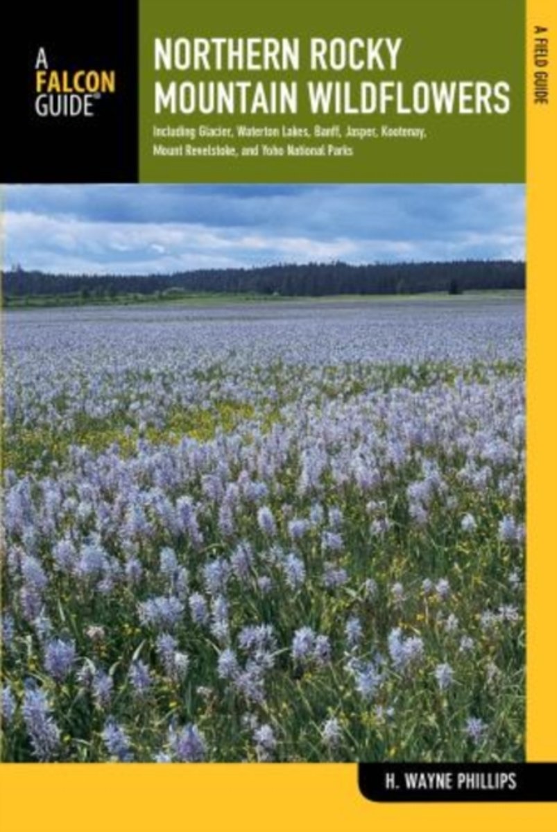
Fully revised and upated, Northern Rocky Mountain Wildflowers features more than 300 species of wildflowers found throughout northwestern Montana, northern Idaho, northeastern Washington, southeastern British Columbia, and southwestern Alberta. This valuable reference is organized by color and family for easy plant identification. You won't...Leer más
Fully revised and upated, Northern Rocky Mountain Wildflowers features more than 300 species of wildflowers found throughout northwestern Montana, northern Idaho, northeastern Washington, southeastern British Columbia, and southwestern Alberta. This valuable reference is organized by color and family for easy plant identification. You won't...Leer más
Nature photographer John Fielder and writer M. John Fayhee combine their extraordinary talents in this stunning new coffee table book that beautifully showcases the wonders of Colorado's Continental Divide. A memorable mountain journey that readers will want to relive again and again. 175 color photos.Leer más
Nature photographer John Fielder and writer M. John Fayhee combine their extraordinary talents in this stunning new coffee table book that beautifully showcases the wonders of Colorado's Continental Divide. A memorable mountain journey that readers will want to relive again and again. 175 color photos.Leer más
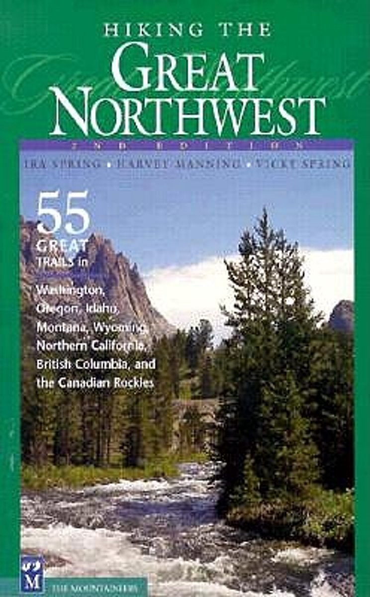
* Highlights the most spectacular trails in six states and two provinces * Personal picks of a trail-tested team of Northwest hiking icons Hiking the Great Nothwest is a collection of classic hikes and trails in the Pacific Northwest, as selected by the late godfathers of Northwest hiking, Ira Spring and Harvey Manning. Hikes in Washington's...Leer más
* Highlights the most spectacular trails in six states and two provinces * Personal picks of a trail-tested team of Northwest hiking icons Hiking the Great Nothwest is a collection of classic hikes and trails in the Pacific Northwest, as selected by the late godfathers of Northwest hiking, Ira Spring and Harvey Manning. Hikes in Washington's...Leer más
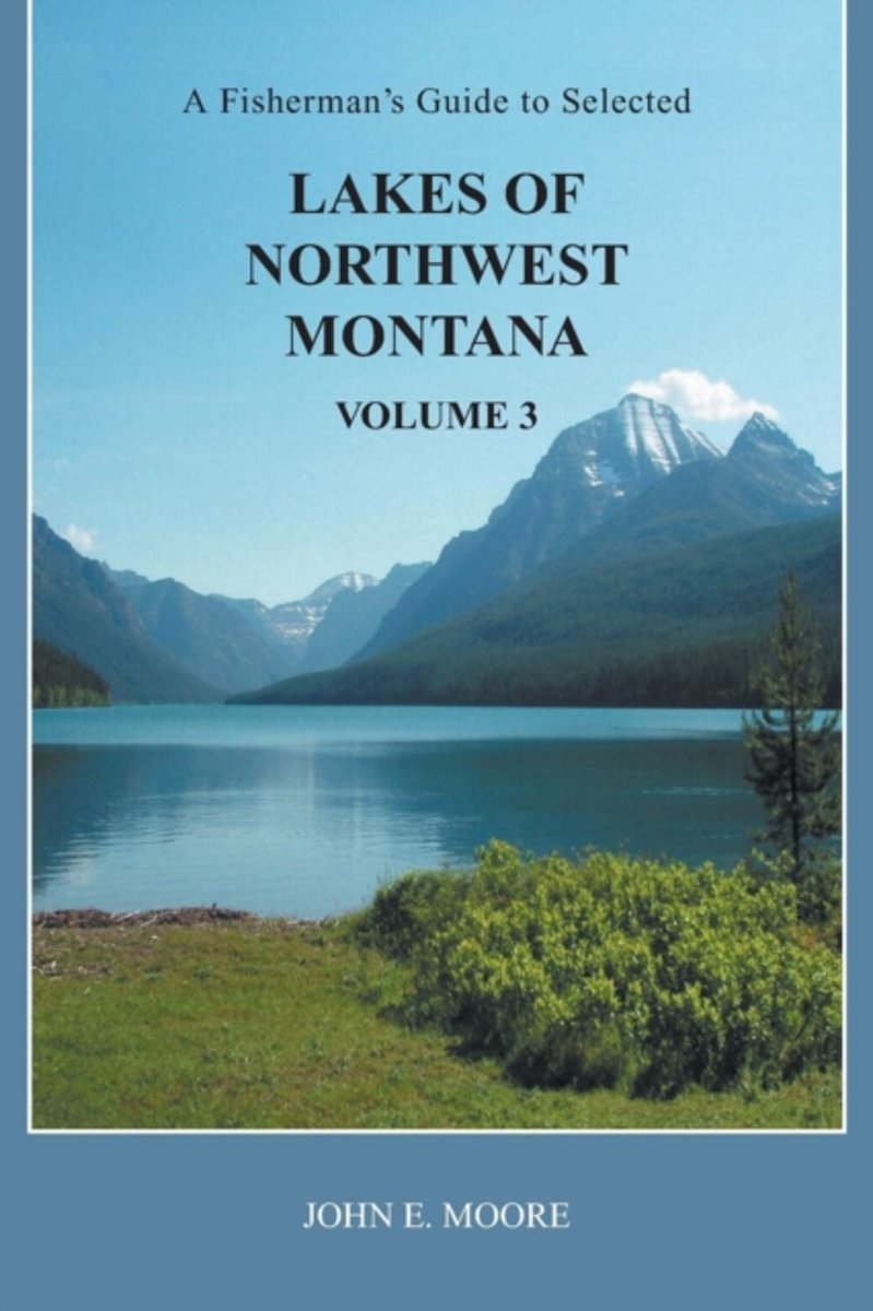
This book is a third volume, containing information on 100 additional lakes in Flathead, Lake, Lincoln, Mineral, Missoula, Powell and Sanders counties of northwest Montana. They range from lowland lakes to alpine lakes. Many can be driven to, while many others require a hike. Most fishing guides offer very limited information on a large number...Leer más
This book is a third volume, containing information on 100 additional lakes in Flathead, Lake, Lincoln, Mineral, Missoula, Powell and Sanders counties of northwest Montana. They range from lowland lakes to alpine lakes. Many can be driven to, while many others require a hike. Most fishing guides offer very limited information on a large number...Leer más
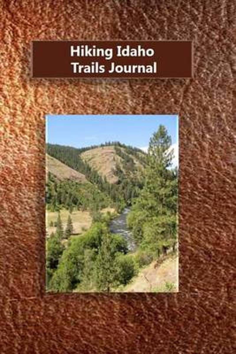
Idaho has some of the best hiking trails in the entire United States. This hiking journal allows you to record all those special trails and experiences you had while getting back to nature. Hiking is a great way to get back in touch with a slower pace of life. The experiences while performing these activities are endless. Writing in a journal...Leer más
Idaho has some of the best hiking trails in the entire United States. This hiking journal allows you to record all those special trails and experiences you had while getting back to nature. Hiking is a great way to get back in touch with a slower pace of life. The experiences while performing these activities are endless. Writing in a journal...Leer más
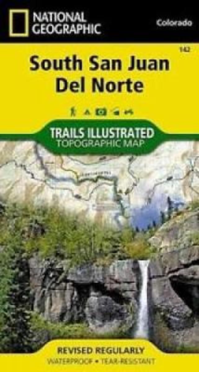
Map No. 142, South San Juan - Del Norte, CO, in an extensive series of GPS compatible, contoured hiking maps of USA’s national and state parks or forests and other popular recreational areas. Cartography based on the national topographic survey, with additional tourist information.The maps, with most titles now printed on light, waterproof and...Leer más
Waterproof Tear-Resistant Topographic MapCoverage includes Rio Grande and San Juan national forests; South San Juan Wilderness; Dipping Lakes and Spiler Lakes; Lost Lake; Platoro and Fuchs Reservoirs; South Fork and Conejos rivers; the cities of Del Norte, South Fork, Wagon Wheel Gap, Summitville, Jasper, Cumbres, Platoro; and the...Leer más
Waterproof Tear-Resistant Topographic MapCoverage includes Rio Grande and San Juan national forests; South San Juan Wilderness; Dipping Lakes and Spiler Lakes; Lost Lake; Platoro and Fuchs Reservoirs; South Fork and Conejos rivers; the cities of Del Norte, South Fork, Wagon Wheel Gap, Summitville, Jasper, Cumbres, Platoro; and the...Leer más
National Geographic's map of the Continental Divide Trail is ideal for fans and hikers of this magnificent National Scenic Trail. It makes a great planning tool or as reference to track progress on the 3,100 plus mile length. This beautiful map shows the entire length of the trail from Mexico to Canada through New Mexico, Colorado, Wyoming,...Leer más
National Geographic's map of the Continental Divide Trail is ideal for fans and hikers of this magnificent National Scenic Trail. It makes a great planning tool or as reference to track progress on the 3,100 plus mile length. This beautiful map shows the entire length of the trail from Mexico to Canada through New Mexico, Colorado, Wyoming,...Leer más
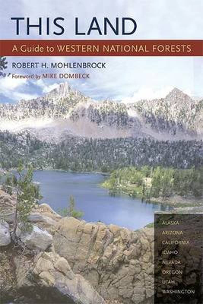
Part armchair travelogue, part guide book, this projected three-volume series - divided into the western, central, and eastern United States - will introduce readers to all 155 national forests across the country. This Land is the only comprehensive field guide that describes the natural features, wildernesses, scenic drives, campgrounds, and...Leer más
Part armchair travelogue, part guide book, this projected three-volume series - divided into the western, central, and eastern United States - will introduce readers to all 155 national forests across the country. This Land is the only comprehensive field guide that describes the natural features, wildernesses, scenic drives, campgrounds, and...Leer más
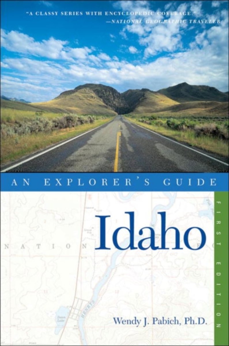
An intimate, local's perspective of Idaho's famous-and yet undiscovered-mountain towns, from the Lake Country in the north to Yellowstone's gateway in the southeast. Emphasis placed on outdoor recreation and adventure.Leer más
An intimate, local's perspective of Idaho's famous-and yet undiscovered-mountain towns, from the Lake Country in the north to Yellowstone's gateway in the southeast. Emphasis placed on outdoor recreation and adventure.Leer más