Namur
Descripción
Province in southern Belgium.
Mapa
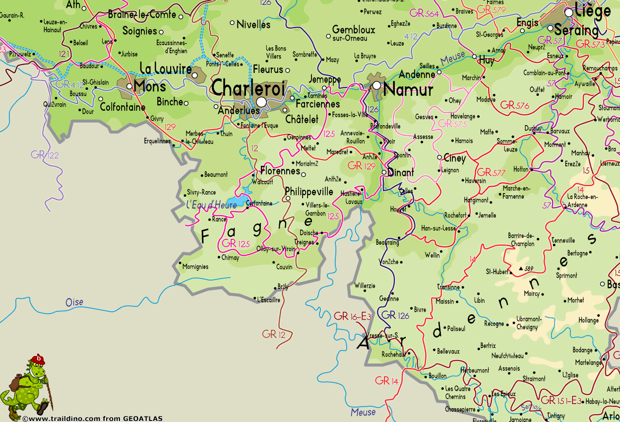
Senderos en estado
- GR12 - Amsterdam - ParisGPX
- GR125 - Tour de l'Entre-Sambre-et-MeuseGPX
- GR126 - Brussel-Namen-Membre sur SamoisGPX
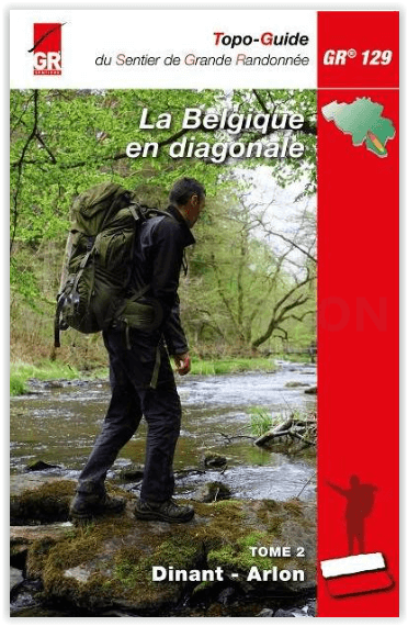
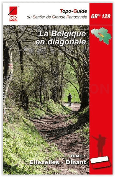
- GR129 - Dwars door BelgiëGPX
- GR15 - AE - Ardennes-EifelGPX
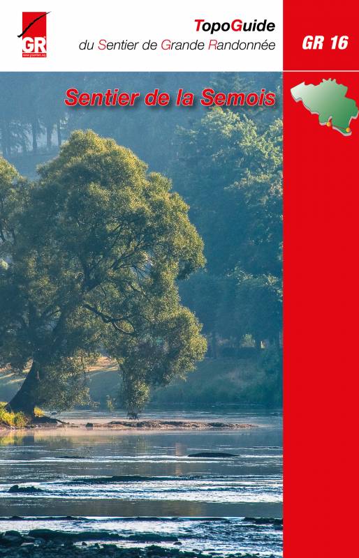
- GR16 - Sentier de la SemoisGPX
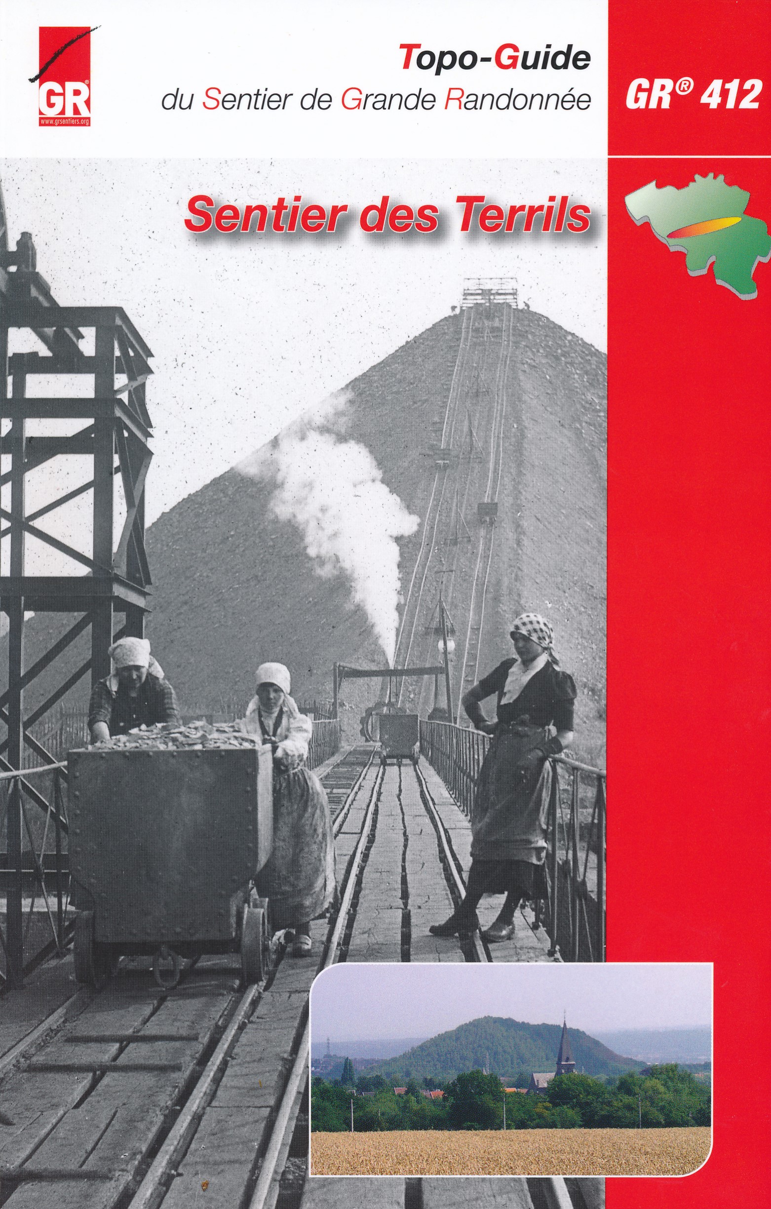
- GR412 - Sentier des TerrilsGPX
- GR564 - Kempen - CondrozGPX
- GR575 - Tour du Condroz NamuroisGPX
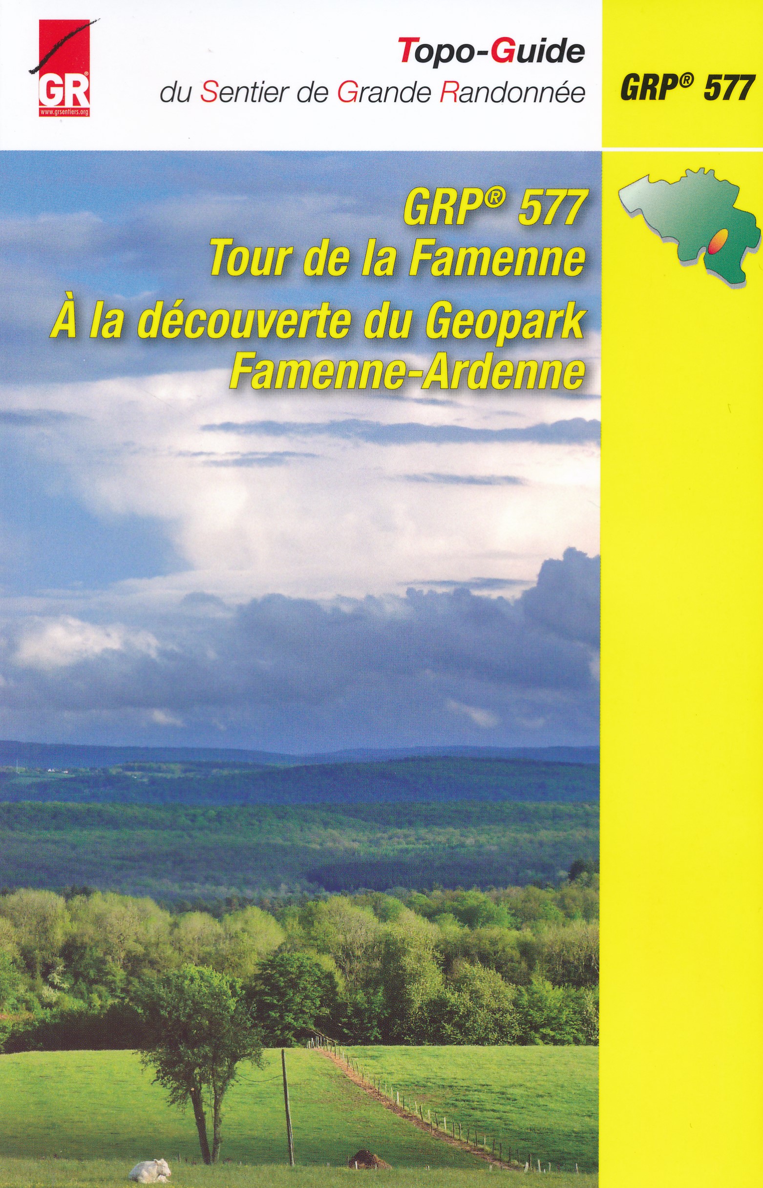
- GR577 - Tour de la FamenneGPX
- Via Gallia BelgicaGPX
- Via LimburgicaGPX
- Via MonasticaGPX
- Via Thiérache
Enlaces
Datos
Informes
Guías y mapas
Hospedaje
Organizaciones
Operadores turísticos
GPS
Otro
Libros
- Also available from:
- De Zwerver, Netherlands

The Book Depository
United Kingdom
2013
United Kingdom
2013
- Ardennen Wanderfuhrer Belgien, Luxemburg, Namur, Dinant, La- 2013
- Handzame gids met een goede beschrijving van een groot aantal dagtochten in dit gebied. De gids is in spiraalbinding en elke pagina is op scheur- en watervast papier gedrukt. Daar is echt over nagedacht! Die Ardennen befinden sich überwiegend auf belgischem Staatsgebiet, genauer gesagt, im Süden des Landes, in der Wallonie. Doch auch nach... Leer más
- Also available from:
- De Zwerver, Netherlands
De Zwerver
Netherlands
2013
Netherlands
2013
- Wandelgids Hikeline Ardennen | Esterbauer
- Handzame gids met een goede beschrijving van een groot aantal dagtochten in dit gebied. De gids is in spiraalbinding en elke pagina is op scheur- en watervast papier gedrukt. Daar is echt over nagedacht! Die Ardennen befinden sich überwiegend auf belgischem Staatsgebiet, genauer gesagt, im Süden des Landes, in der Wallonie. Doch auch nach... Leer más
Bol.com
Netherlands
Netherlands
- Namenarten in Österreich und Bayern
- Univ.-Prof. Dr. Albrecht Greule: Laudatio auf Peter Wiesinger anlässlich seiner Emeritierung am 30. September 2006; Wolf-Armin Frhr. v. Reitzenstein: Namenarten als Geschichtsquellen; Peter Anreiter: Tiroler Namenlandschaften; Nicole Eller: Toponomastischer Atlas der Grenzregion Bayerischer Wald/Böhmerwald, unter Berücksichtigung der... Leer más
- Also available from:
- Bol.com, Belgium

Bol.com
Belgium
Belgium
- Namenarten in Österreich und Bayern
- Univ.-Prof. Dr. Albrecht Greule: Laudatio auf Peter Wiesinger anlässlich seiner Emeritierung am 30. September 2006; Wolf-Armin Frhr. v. Reitzenstein: Namenarten als Geschichtsquellen; Peter Anreiter: Tiroler Namenlandschaften; Nicole Eller: Toponomastischer Atlas der Grenzregion Bayerischer Wald/Böhmerwald, unter Berücksichtigung der... Leer más
De Zwerver
Netherlands
2020
Netherlands
2020
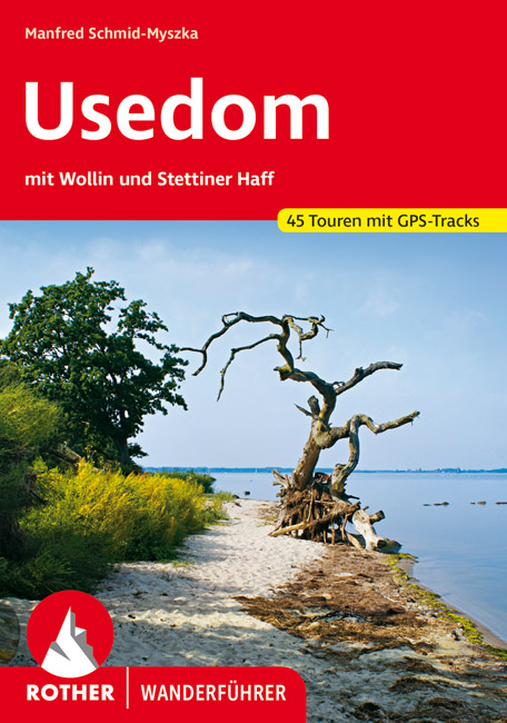
- Wandelgids Usedom | Rother Bergverlag
- Uitstekende wandelgids met een groot aantal dagtochten in dal en hooggebergte. Met praktische informatie en beperkt kaartmateriaal! Wandelingen in verschillende zwaarte weergegeven in rood/blauw/zwart. Die Insel Usedom mit zahlreichen Sandstränden und den Kaiserbädern mit seinen Villen aus dem 19. Jahrhundert ist schon seit jeher ein beliebtes... Leer más

Bol.com
Netherlands
Netherlands
- Die Hymne des Fu balls
- 'You'll never walk alone' ist die Hymne der Fu ballfans und wird an jedem Wochenende in unz hligen Stadien angestimmt. Das Buch erz hlt die h chst ungew hnliche Geschichte des Songs.Ausgangspunkt war ein Theaterstu ck, das vom gescheiterten Leben eines jugendlichen Au enseiters erz hlt. Es erschien 1909 und wurde ein Welterfolg. Auf der Bu hne... Leer más
- Also available from:
- Bol.com, Belgium

Bol.com
Belgium
Belgium
- Die Hymne des Fu balls
- 'You'll never walk alone' ist die Hymne der Fu ballfans und wird an jedem Wochenende in unz hligen Stadien angestimmt. Das Buch erz hlt die h chst ungew hnliche Geschichte des Songs.Ausgangspunkt war ein Theaterstu ck, das vom gescheiterten Leben eines jugendlichen Au enseiters erz hlt. Es erschien 1909 und wurde ein Welterfolg. Auf der Bu hne... Leer más
Bol.com
Netherlands
2019
Netherlands
2019
- WF5265 Malerweg - 18 Touren auf den Spuren der Romantiker durch die Sächsische Schweiz Kompass
- De Kompass wandelgids + kaart geeft een overzicht van alle wandelroutes in het gebied met nauwkeurige routeaanwijzingen en hoogteaanduidingen, De extra grote kaart, schaal 1:35 000, is ideaal om van te voren uw route uit te stippelen en om onderweg te gebruiken; naast de bekende bestemmingen, worden ook de minder bekende vermeld; openbaar... Leer más
- Also available from:
- Bol.com, Belgium

Bol.com
Belgium
2019
Belgium
2019
- WF5265 Malerweg - 18 Touren auf den Spuren der Romantiker durch die Sächsische Schweiz Kompass
- De Kompass wandelgids + kaart geeft een overzicht van alle wandelroutes in het gebied met nauwkeurige routeaanwijzingen en hoogteaanduidingen, De extra grote kaart, schaal 1:35 000, is ideaal om van te voren uw route uit te stippelen en om onderweg te gebruiken; naast de bekende bestemmingen, worden ook de minder bekende vermeld; openbaar... Leer más
Bol.com
Netherlands
2014
Netherlands
2014
- Pyrenees Centrales et Tour du Val d'Azun GR10/101 Plus de 20 Jours de Randonnee
- 15 jours en hauteur, d'Arrens à Melles. Inclus le tour du Val d'Azun. Le sentier franchit plusieurs cols dépassant les 2000 mètres, qui offrent de magnifiques points de vue sur le Pic du Midi de Bigorre, le Pic Long ou le Pic de Bacanère. Mais il longe aussi des bassins au doux relief, ouverts à la lumière comme à Luz-St-Sauveur ou... Leer más
- Also available from:
- Bol.com, Belgium

Bol.com
Belgium
2014
Belgium
2014
- Pyrenees Centrales et Tour du Val d'Azun GR10/101 Plus de 20 Jours de Randonnee
- 15 jours en hauteur, d'Arrens à Melles. Inclus le tour du Val d'Azun. Le sentier franchit plusieurs cols dépassant les 2000 mètres, qui offrent de magnifiques points de vue sur le Pic du Midi de Bigorre, le Pic Long ou le Pic de Bacanère. Mais il longe aussi des bassins au doux relief, ouverts à la lumière comme à Luz-St-Sauveur ou... Leer más
Bol.com
Netherlands
Netherlands
- Natuurbeleving
- Sfeerbeschrijvingen van landschappen en de planten en dierenwereld daarbinnen lijken goeddeels voorbehouden aan schrijvers die in de eerste helft van de vorige eeuw publiceerden. Met de ornithologische waarheid namen zij het niet altijd even nauw, maar hun boeken met voor die tijd vaak zeldzaam fraaie foto's zijn voor velen een bron van... Leer más
- Also available from:
- Bol.com, Belgium

Bol.com
Belgium
Belgium
- Natuurbeleving
- Sfeerbeschrijvingen van landschappen en de planten en dierenwereld daarbinnen lijken goeddeels voorbehouden aan schrijvers die in de eerste helft van de vorige eeuw publiceerden. Met de ornithologische waarheid namen zij het niet altijd even nauw, maar hun boeken met voor die tijd vaak zeldzaam fraaie foto's zijn voor velen een bron van... Leer más
De Zwerver
Netherlands
2018
Netherlands
2018
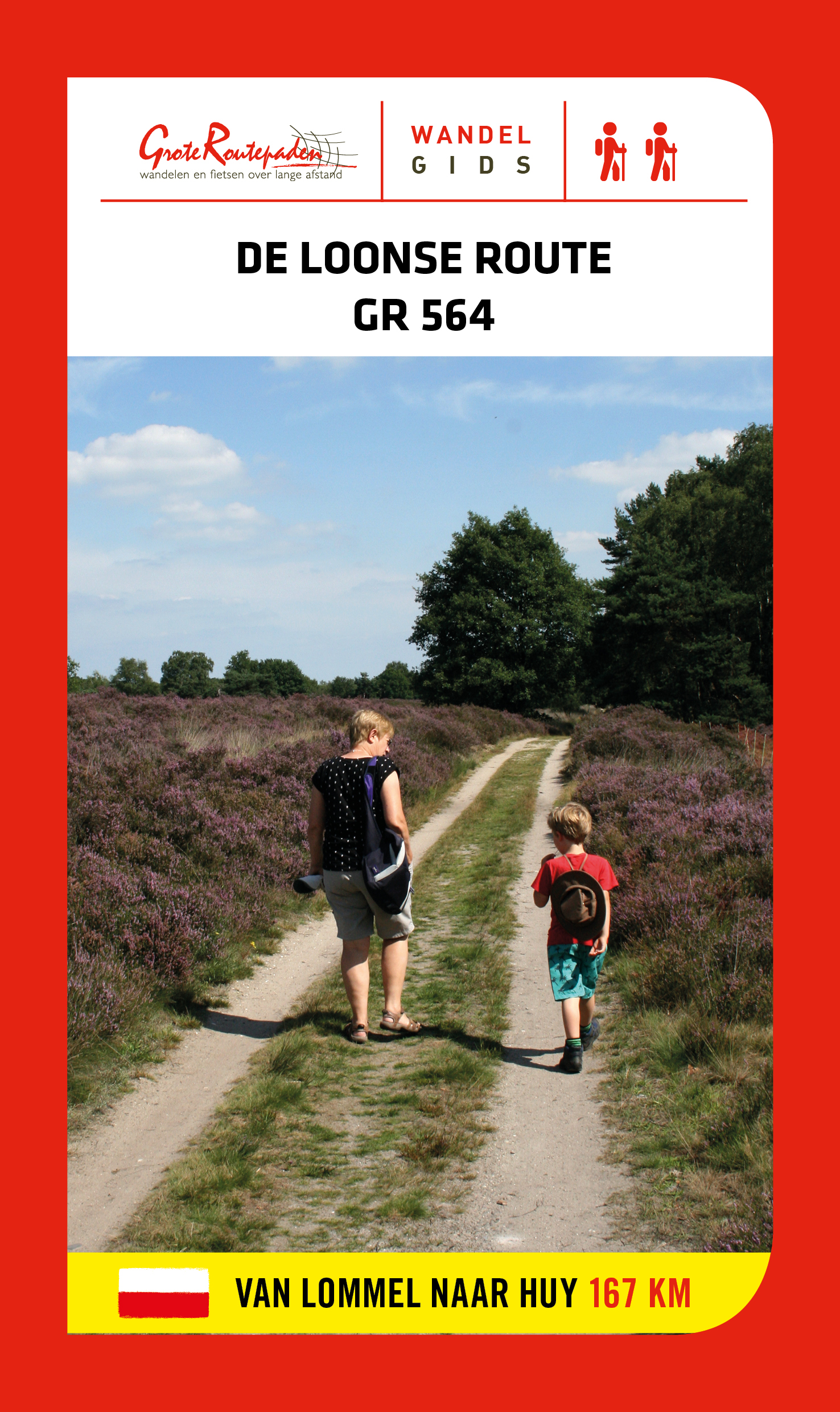
- Wandelgids GR 564 De Loonse route | Grote Routepaden
- GR 564 is afwisseling en contrast. Duinen en vennen, zand en water, heide en bos in de Limburgse Kempen. Natte beemden, fruitplantages en maïs; grote vierkanthoeven en kleine dorpen met spitse kerktorens. In Haspengouw word je telkens verrast door weidse vergezichten. Je steekt de taalgrens over en duikt de vallei van de Mehaigne in: hoogtes en... Leer más
Más libros…
Mapas
Bol.com
Netherlands
Netherlands
- Hochsauerland, Arnsberger Wald WK841
- Deze Kompass wandelkaart, schaal 1:50 000, is ideaal om uw route uit te stippelen en om onderweg te gebruiken • naast de bekende bestemmingen, worden ook de minder bekende vermeld • openbaar vervoer bij begin- of eindpunt van een route aangegeven • eenvoudige wandelingen tot pittige (berg)tochten, voor getrainde en ongetrainde wandelaars • met... Leer más
- Also available from:
- Bol.com, Belgium

Bol.com
Belgium
Belgium
- Hochsauerland, Arnsberger Wald WK841
- Deze Kompass wandelkaart, schaal 1:50 000, is ideaal om uw route uit te stippelen en om onderweg te gebruiken • naast de bekende bestemmingen, worden ook de minder bekende vermeld • openbaar vervoer bij begin- of eindpunt van een route aangegeven • eenvoudige wandelingen tot pittige (berg)tochten, voor getrainde en ongetrainde wandelaars • met... Leer más
De Zwerver
Netherlands
2019
Netherlands
2019
- Wandelkaart Hermannsweg | Publicpress
- Wandelkaart met hoogtelijnen en toeristische informatie van de Hermannsweg, een wandeling van 158.5 km door het Teutoburger Wald, de kaart is geschikt voor gebruik met GPS. Scheurvast en weerbestendig. Met tips voor uitstapjes, gastronomie en recreatie. Dem 160 km langen Hermannsweg ist die Wanderkarte Hermannsweg gewidmet. Der auf dem Kamm des... Leer más

Stanfords
United Kingdom
United Kingdom
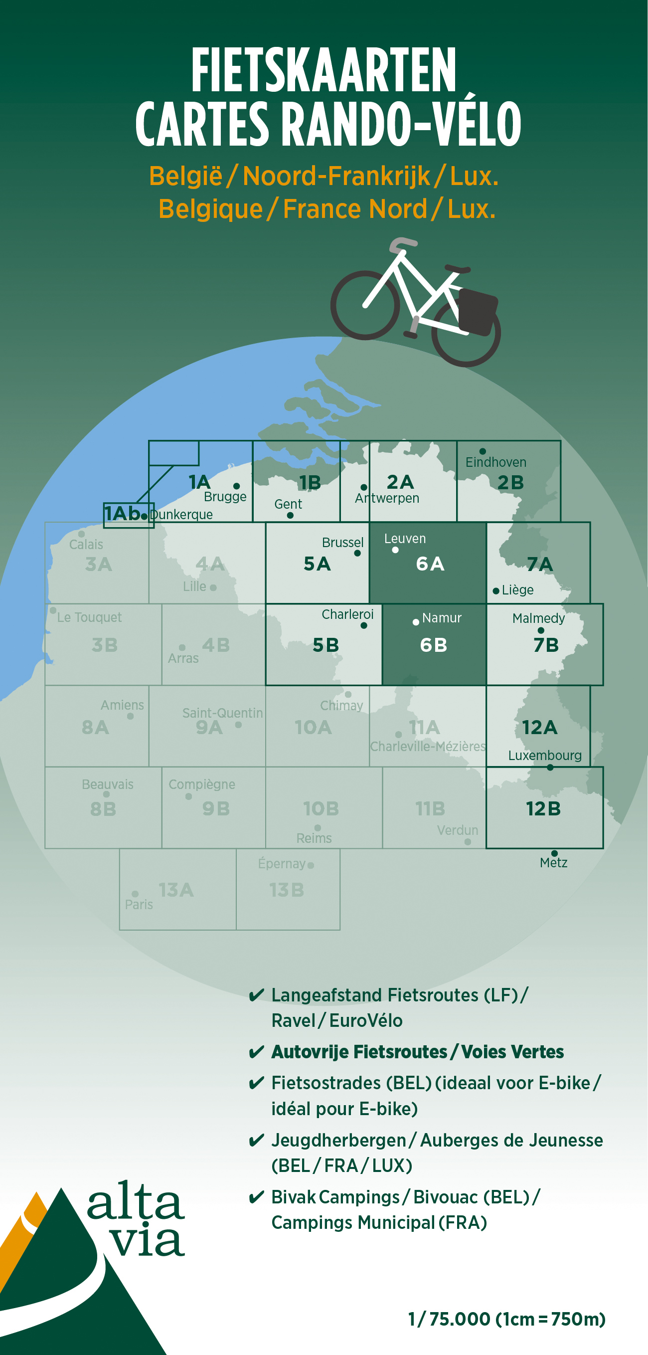
- Brabant and Namur Alta Via Cycling Map 6
- Alta Via`s topographical cycling maps emphasize car-free cycling routes or the so-called Voies Vertes (Green Routes), a cycling network that runs through Belgium and Luxembourg. All LF and Ravel cycle routes are included, supplemented with old railways and towpaths that have been transformed into bike paths. The map also lists all youth... Leer más
- Also available from:
- De Zwerver, Netherlands
De Zwerver
Netherlands
Netherlands
- Fietskaart 6 Brabant & Namen | Alta Via
- Alta Via`s topographical cycling maps emphasize car-free cycling routes or the so-called Voies Vertes (Green Routes), a cycling network that runs through Belgium and Luxembourg. All LF and Ravel cycle routes are included, supplemented with old railways and towpaths that have been transformed into bike paths. The map also lists all youth... Leer más

Stanfords
United Kingdom
United Kingdom
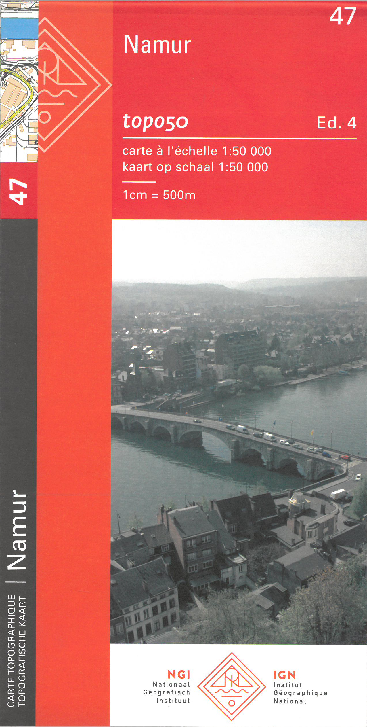
- Namur NGI Topo 47
- Topographical survey of Belgium at 1:50,000 from the country’s national survey organization, Nationaal Geografisch Instituut / Institut Géographique National. Contour interval varies according to the terrain, from 2.5 metres in the coastal areas to 10 metres in the Ardennes. The maps provide all the information expected of topographic mapping... Leer más
- Also available from:
- De Zwerver, Netherlands
Bol.com
Netherlands
Netherlands
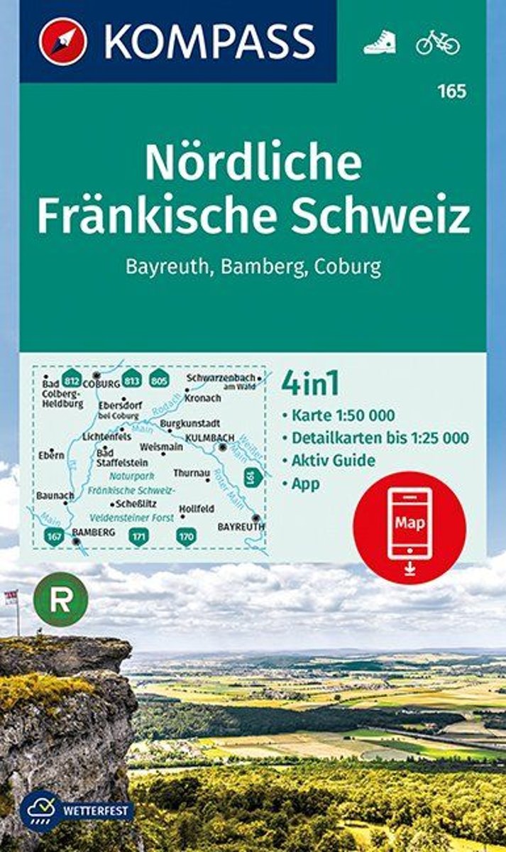
- Nördliche Fränkische Schweiz, Bayreuth, Bamberg, Coburg 1:50 000
- . Auf in die Schweiz - aber in die fränkische! Das ist der nördliche Teil der Fränkischen Alb, ein wunderbares Wandergebiet, das im Norden vom Main, im Westen von der Regnitz und im Osten von der Pegnitz begrenzt wird. . Somit erstreckt sich das Gebiet der Fränkischen Schweiz über Teile der Landkreise Bamberg, Bayreuth, Forchheim und... Leer más
- Also available from:
- Bol.com, Belgium

Bol.com
Belgium
Belgium
- Nördliche Fränkische Schweiz, Bayreuth, Bamberg, Coburg 1:50 000
- . Auf in die Schweiz - aber in die fränkische! Das ist der nördliche Teil der Fränkischen Alb, ein wunderbares Wandergebiet, das im Norden vom Main, im Westen von der Regnitz und im Osten von der Pegnitz begrenzt wird. . Somit erstreckt sich das Gebiet der Fränkischen Schweiz über Teile der Landkreise Bamberg, Bayreuth, Forchheim und... Leer más


