
Salzkammergut-Berge
Descripción
 This area east of Salzburg has not that many high summits - most of it lies below 2.000 m - but this is well compensated by the numerous lakes. The lakes fill up the valley floors. It is wonderful walking in these rural valleys around these lakes, or on the easily accessible ridges which offers nice views over lakes and villages.
Mapa

Senderos en región
Enlaces
Datos
Informes
Guías y mapas
Hospedaje
Organizaciones
Operadores turísticos
GPS
Otro
Libros

Stanfords
United Kingdom
United Kingdom
- Wolfgangsee - Fuschlsee - Mondsee Kompass 018
- Wolfgangsee - Fuschlsee - Mondsee, the lakes of the Salzkammergut area east of Salzburg, on a detailed, GPS compatible map at 1:25,000 from Kompass with local and long-distance footpaths, cycling routes, accommodation, etc, printed on durable, waterproof and tear-resistant synthetic paper.KOMPASS HIKING & RECREATIONAL MAPS: this title is part... Leer más

Stanfords
United Kingdom
United Kingdom
- Attersee - Mondsee - Wolfgangsee F&B WK5282
- Attersee - Mondsee - Wolfgangsee area of the Salzkammergut presented at 1:35,000 in a series of contoured and GPS compatible outdoor leisure map from Freytag & Berndt with hiking and cycling routes, mountain huts, campsites and youth hostels, local bus stops, plus other tourist information. Cartography is an enlargement of the publisher’s... Leer más

The Book Depository
United Kingdom
2020
United Kingdom
2020
- Walking in the Salzkammergut: the Austrian Lake District
- 30 walks in Salzburg's lakes and mountains, including the Dachstein Leer más
- Also available from:
- De Zwerver, Netherlands

De Zwerver
Netherlands
2020
Netherlands
2020
De Zwerver
Netherlands
2021
Netherlands
2021
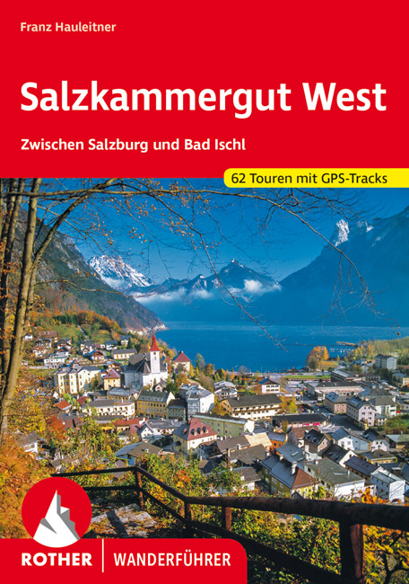
- Wandelgids Salzkammergut West | Rother Bergverlag
- Uitstekende wandelgids met een groot aantal dagtochten in dal en hooggebergte. Met praktische informatie en beperkt kaartmateriaal! Wandelingen in verschillende zwaarte weergegeven in rood/blauw/zwart Das Salzkammergut zählt zu den reizvollsten Urlaubsgebieten Europas. Wo sonst vereinen sich unterschiedliche Landschaftsformen zu einem so... Leer más

Bol.com
Netherlands
2017
Netherlands
2017
- Griechenland: Trans Kreta E4
- Kein Geheimtipp und dennoch etwas in Vergessenheit geraten ist das ber 500 km lange Teilst ck des europ ischen Fernwanderweges E4 auf Kreta. Bereits seit den 1970er-Jahren geh rt dieser Abschnitt zu einem der beliebtesten des l ngsten europ ischen Fernwanderweges und ist somit ein echter Trekkingklassiker.Wer gut markierte Pfade und verl... Leer más
- Also available from:
- Bol.com, Belgium
- De Zwerver, Netherlands
Bol.com
Belgium
2017
Belgium
2017
- Griechenland: Trans Kreta E4
- Kein Geheimtipp und dennoch etwas in Vergessenheit geraten ist das ber 500 km lange Teilst ck des europ ischen Fernwanderweges E4 auf Kreta. Bereits seit den 1970er-Jahren geh rt dieser Abschnitt zu einem der beliebtesten des l ngsten europ ischen Fernwanderweges und ist somit ein echter Trekkingklassiker.Wer gut markierte Pfade und verl... Leer más

De Zwerver
Netherlands
2017
Netherlands
2017
- Wandelgids E4 Kreta Lefka Ori und Lasithi | Conrad Stein Verlag
- OutdoorHandbuch. 3. Auflage. Leer más

The Book Depository
United Kingdom
2015
United Kingdom
2015
- The High Mountains of Crete
- The White Mountains, Psiloritis and Lassithi Mountains Leer más
- Also available from:
- Bol.com, Netherlands
- Bol.com, Belgium
- De Zwerver, Netherlands

Bol.com
Netherlands
2015
Netherlands
2015
- The high mountains of Crete
- Guidebook to walking and trekking the high mountains of Crete. The largest of the Greek Islands, Crete's mountains provide breathtaking walking and wilderness on this popular island. The routes in this guidebook are graded for difficulty and range from short, easy strolls to challenging, multi-day treks, providing options for all walkers. In... Leer más
Bol.com
Belgium
2015
Belgium
2015
- The high mountains of Crete
- Guidebook to walking and trekking the high mountains of Crete. The largest of the Greek Islands, Crete's mountains provide breathtaking walking and wilderness on this popular island. The routes in this guidebook are graded for difficulty and range from short, easy strolls to challenging, multi-day treks, providing options for all walkers. In... Leer más

De Zwerver
Netherlands
2015
Netherlands
2015
- Wandelgids The high mountains of Crete - Kreta | Cicerone
- Guidebook of walking routes in Crete's mountains, covering the Lefka Ori (White Mountains), Mount Ida (the Psiloritis range), the Lassithi mountains and E4 trail. Each of the 87 walks is graded, in a range between 2 and 28km with various longer options, covering a multitude of terrains from rugged mountain ridges to forested crags and beaches. Leer más

De Zwerver
Netherlands
2023
Netherlands
2023
De Zwerver
Netherlands
2022
Netherlands
2022
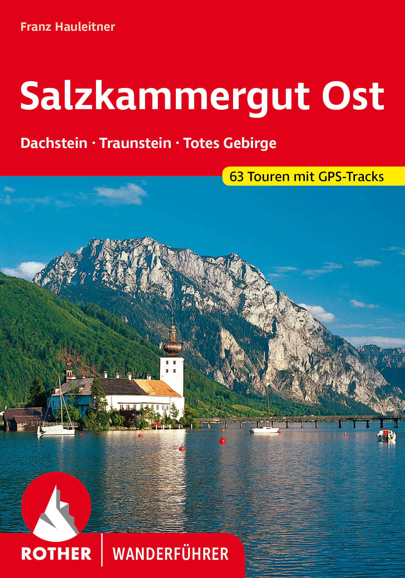
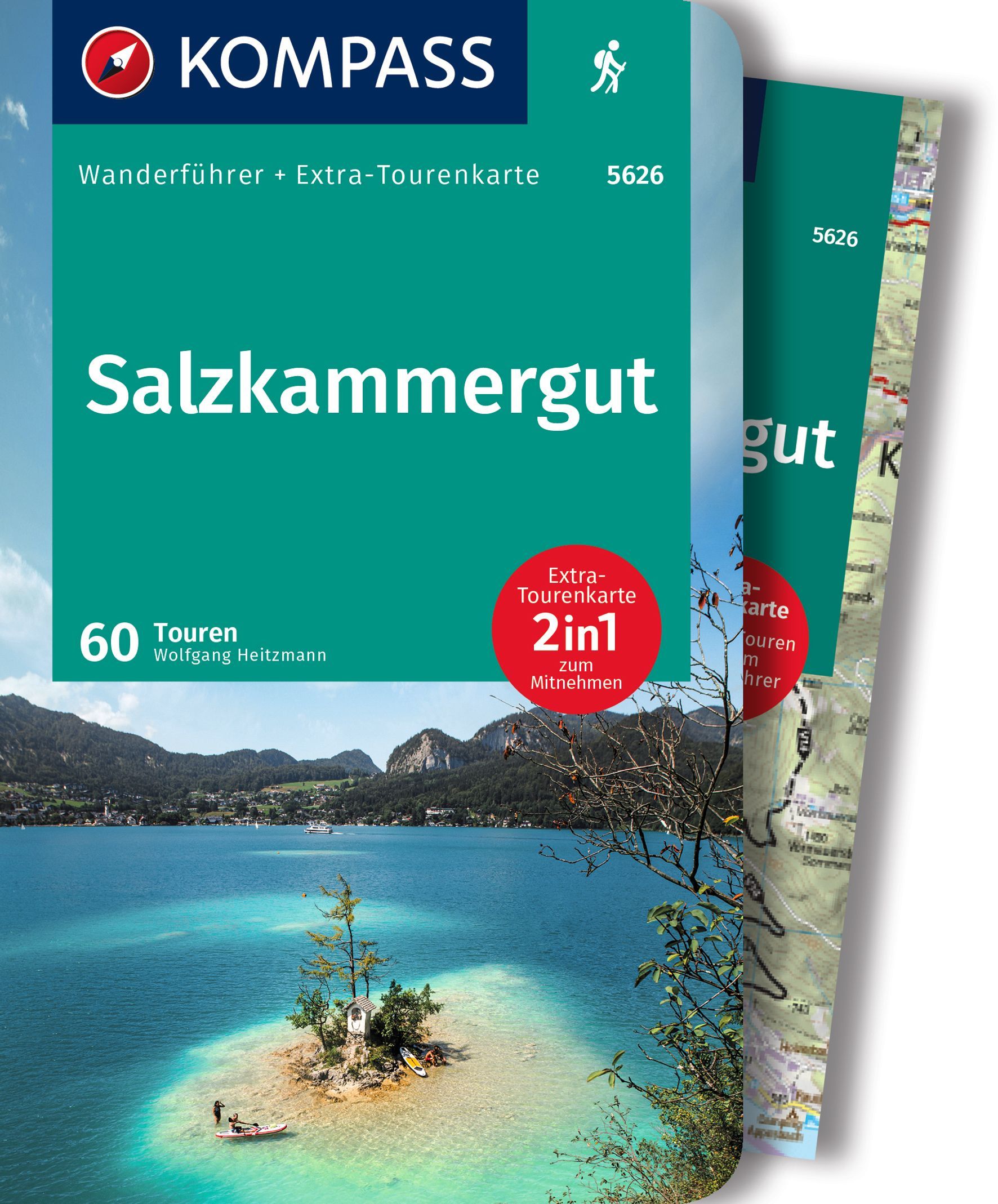
- Wandelgids Salzkammergut Ost | Rother Bergverlag
- Uitstekende wandelgids met een groot aantal dagtochten in dal en hooggebergte. Met praktische informatie en beperkt kaartmateriaal! Wandelingen in verschillende zwaarte weergegeven in rood/blauw/zwart. Das Salzkammergut zählt zu den reizvollsten Urlaubsgebieten Europas. Wo sonst vereinen sich unterschiedliche Landschaftsformen zu einem so... Leer más
Bol.com
Netherlands
Netherlands
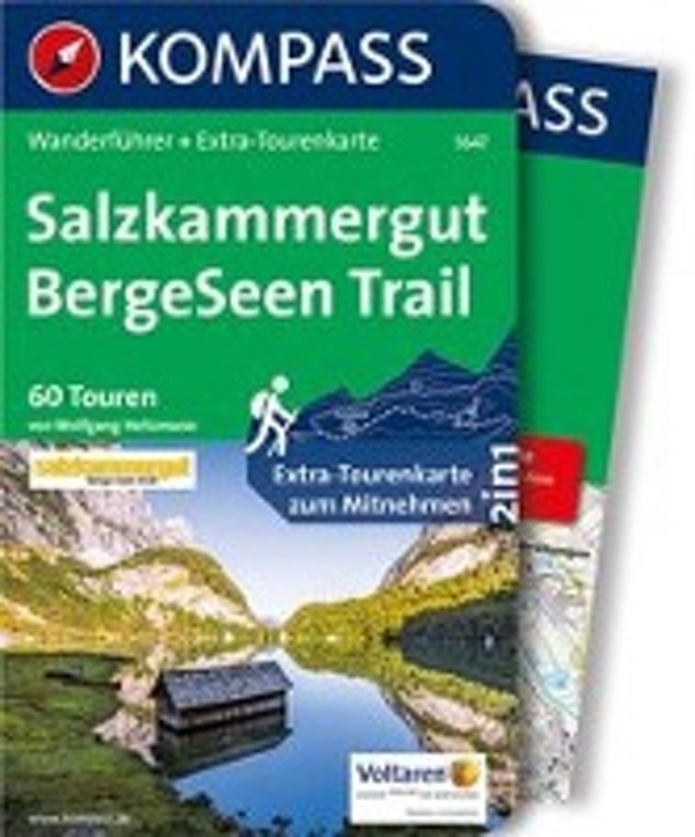
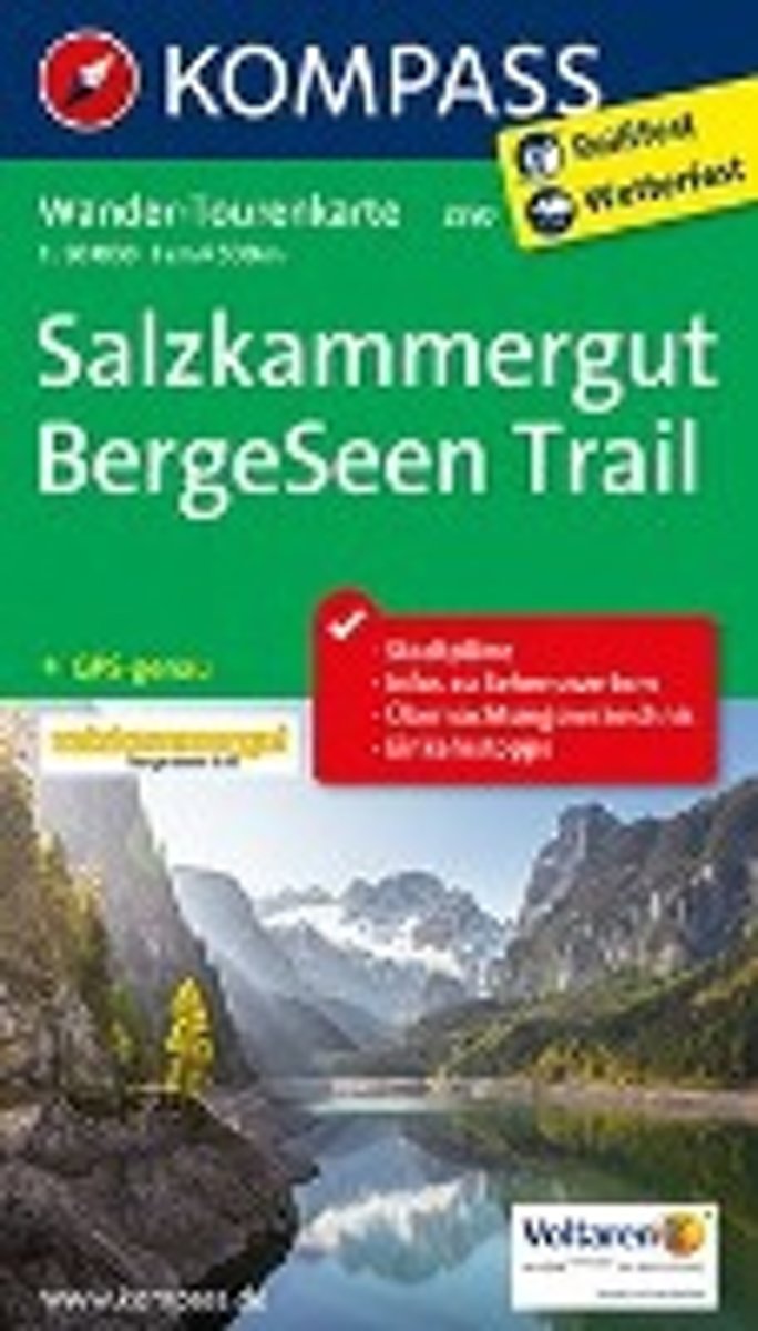
- Salzkammergut BergeSeen Trail
- Wanderführer mit Extra-Tourenkarte, 60 Touren, GPX-Daten zum Download. Leer más
- Also available from:
- Bol.com, Belgium
Bol.com
Belgium
Belgium
- Salzkammergut BergeSeen Trail
- Wanderführer mit Extra-Tourenkarte, 60 Touren, GPX-Daten zum Download. Leer más
Bol.com
Netherlands
Netherlands
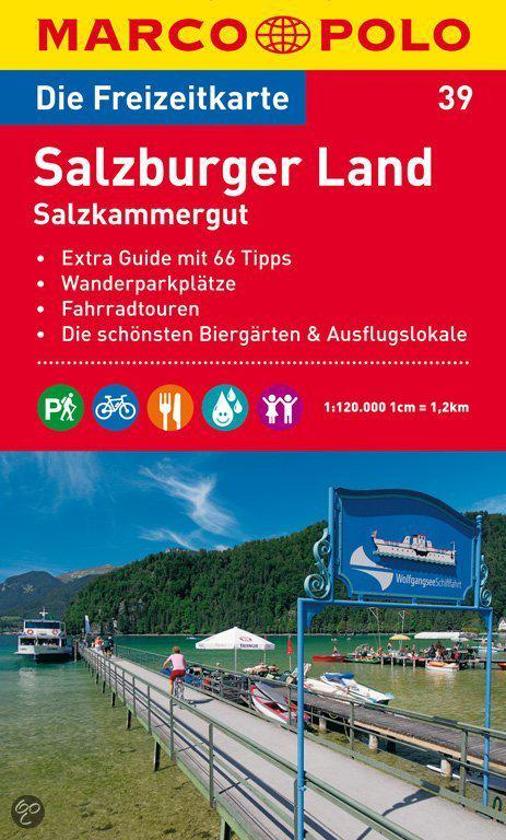
- Marco Polo FZK39 SalzburgerLand - Salzkammergut
- Een kaart en een reisgids in een handige omslag van stevig plastic, Op de kaart worden bezienswaardigheden aangegeven en heel kort beschreven met een afbeelding erbij, In de gids is de gedetailleerde informatie te vinden, Ook de op de kaart gemarkeerde wandel- en fietstochten worden in de gids beschreven, Door de gebruikte kleuren is alle... Leer más
- Also available from:
- Bol.com, Belgium
Bol.com
Belgium
Belgium
- Marco Polo FZK39 SalzburgerLand - Salzkammergut
- Een kaart en een reisgids in een handige omslag van stevig plastic, Op de kaart worden bezienswaardigheden aangegeven en heel kort beschreven met een afbeelding erbij, In de gids is de gedetailleerde informatie te vinden, Ook de op de kaart gemarkeerde wandel- en fietstochten worden in de gids beschreven, Door de gebruikte kleuren is alle... Leer más
Bol.com
Netherlands
Netherlands
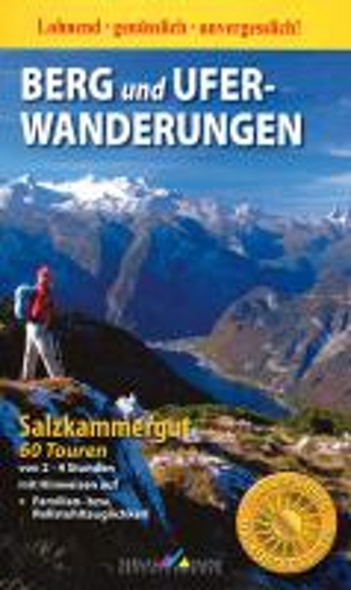
- Berg- und Ufer-Wanderungen Salzkammergut
- 60 Touren von 2-4 Stunden mit Hinweis auf Familien- bzw. Rollstuhltauglichkeit. 2. Auflage. Leer más
- Also available from:
- Bol.com, Belgium
Bol.com
Belgium
Belgium
- Berg- und Ufer-Wanderungen Salzkammergut
- 60 Touren von 2-4 Stunden mit Hinweis auf Familien- bzw. Rollstuhltauglichkeit. 2. Auflage. Leer más
- Also available from:
- Bol.com, Belgium
Bol.com
Netherlands
Netherlands
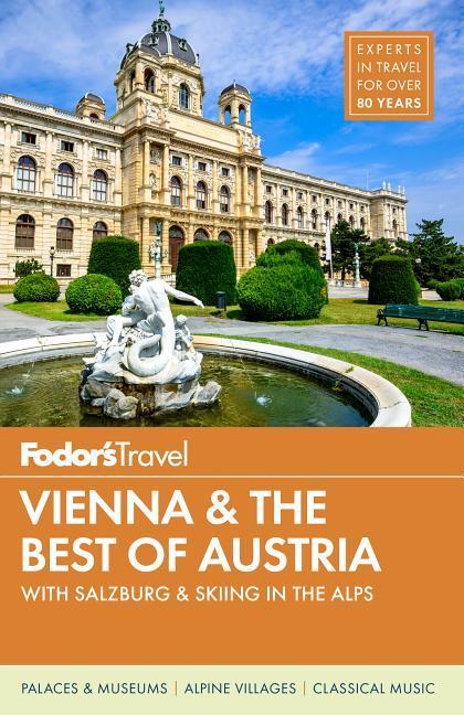
- Fodor's Vienna and the Best of Austria
- Written by local experts, Fodor's travel guides have been offering advice and professionally vetted recommendations for all tastes and budgets for 80 years.With its old-world charm, musical heritage, and alpine landscapes, Vienna and Austria offer choices for every traveler. Fodors Vienna and the Best of Austria captures the top experiences... Leer más
- Also available from:
- Bol.com, Belgium
Bol.com
Belgium
Belgium
- Fodor's Vienna and the Best of Austria
- Written by local experts, Fodor's travel guides have been offering advice and professionally vetted recommendations for all tastes and budgets for 80 years.With its old-world charm, musical heritage, and alpine landscapes, Vienna and Austria offer choices for every traveler. Fodors Vienna and the Best of Austria captures the top experiences... Leer más
Mapas

Stanfords
United Kingdom
United Kingdom
- Hungarian National Long-distance Blue Trail (E4): Visegrad to Irott-ko
- Hiking guide to the north-western section of Hungary’s National Blue Trail which forms part of the E4 European long-distance footpath. The guide covers the route from the historic town of Visegrád on the Danube, across the Buda Hills on the outskirts of Budapest and the Bakony Hills along the north-eastern shore of Lake Balaton, to Írott-ko in... Leer más

Stanfords
United Kingdom
United Kingdom
- Mattsee - Wallersee - Irrsee - Fuschl - Mondsee - Oberndorf F&B WK391
- Mattsee - Wallersee - Irrsee - Fuschl - Mondsee - Oberndorf - Salzburg - Wolfgangsee area of the Austrian Alps presented at 1:50,000 in a series of contoured and GPS compatible outdoor leisure map from Freytag & Berndt with hiking and cycling routes, mountain huts, campsites and youth hostels, local bus stops, plus other tourist information. To... Leer más

Stanfords
United Kingdom
United Kingdom
- Peloponnese Anavasi Road Atlas
- Road Atlas of the Peloponnese from Anavasi, in an A4 paperback format, with contoured, GPS compatible mapping at 1:50,000, very detailed road classification, hiking paths, and place names in both Greek and Latin alphabets.The main section of the atlas has 178 pages of detailed maps with contours at 100m intervals, altitude colouring and relief... Leer más

Stanfords
United Kingdom
United Kingdom
- Bregenz F&B
- Indexed street plan of Bregenz extending north along the Bodensee coast to Lochau and Unter Hochsteg. Detail includes pedestrianised areas, railways, bus routes and cycle paths. Notable buildings are highlighted in red, and symbols indicate post offices, hostels, campsites and car parks.On the reverse is a 1:50,000 contoured map of the... Leer más

Stanfords
United Kingdom
United Kingdom
- Salzkammergut North - Wolfgangsee - Attersee - Traunsee Kompass 18
- The northern part of the Salzkammergut Alps in Austria, including Wolfgangsee, Attersse, Traunsee, Gmunden and Bad Ischl, on a detailed, GPS compatible map at 1:50,000 from Kompass with local and long-distance footpaths, cycling routes, accommodation, etc, printed on durable, waterproof and tear-resistant synthetic paper.KOMPASS HIKING &... Leer más

Stanfords
United Kingdom
United Kingdom
- Taygetos - North Taygetos Anavasi 8.1
- The Taygetos range between Sparta and Kalamata at 1:50,000 on a contoured, GPS compatible map from Anavasi with on the reverse a special map highlighting the region’s numerous hiking trails, including the course of the E4 European long-distance path.On one side is the main map of the area with excellent presentation of its topography by... Leer más

Stanfords
United Kingdom
United Kingdom
- Greece: Attika and Central Greece Road Atlas
- Road Atlas of Attika, the region around Athens, and Central Greece from Anavasi, in an A4 paperback format, with contoured mapping at 1:50,000, a 2km UTM grid for GPS users, very detailed road classification, hiking paths, and place names in both Greek and Latin alphabets.The main section of the atlas has 219 pages of detailed maps with... Leer más

Stanfords
United Kingdom
United Kingdom
- Pyhrn-Priel - Grünau - Almtal - Steyral - Kalkalpen National Park - Bad Aussee F&B WK081
- Pyhrn - Priel - Eisenwurzen - Grünau - Almtal - Steyral - Kalkalpen NP area of central Austria presented at 1:50,000 in a series of contoured and GPS compatible outdoor leisure map from Freytag & Berndt with hiking and cycling routes, mountain huts, campsites and youth hostels, local bus stops, plus other tourist information.To see the list of... Leer más

Stanfords
United Kingdom
United Kingdom
- Attersee - Traunsee - Höllengebirge - Mondsee - Wolfgangsee F&B WK282
- Attersee - Traunsee - Höllengebirge - Mondsee - Wolfgangsee area of the Austrian Alps presented at 1:50,000 in a series of contoured and GPS compatible outdoor leisure map from Freytag & Berndt with hiking and cycling routes, mountain huts, campsites and youth hostels, local bus stops, plus other tourist information. To see the list of... Leer más

Stanfords
United Kingdom
United Kingdom
- Transrhodopi - Long distance hiking and biking trail From Trigrad to Ivaylovgrad
- Western Rhodope Mountains at 1:100,000 on a contoured GPS compatible map from Domino extending from just west of the Pirin National Park to Asenovgrad in the north-east. The map is double-sided with a good overlap between the sides. Topography is shown by contours at 50m intervals with relief shading and spot heights, plus colouring for... Leer más

Stanfords
United Kingdom
United Kingdom
- Olympus Geopsis 139
- Mt Olympus in a series of waterproof and tear-resistant hiking maps at scales varying from 1:50,000 to 1:10,000, with a UTM grid for GPS users. Contour interval varies depending on the scale, on most maps it is 20m. Relief shading, spot heights, springs, seasonal streams and, in most titles, landscape/land-use variations, e.g. forests,... Leer más

Stanfords
United Kingdom
United Kingdom
- Adelboden - Lenk
- Adelboden - Lenk area of the western Bernese Oberland, from Gstaad to Frutigen and Leukerbad at 1:50,000 in a series from Hallwag covering Switzerland’s popular hiking regions on light, waterproof and tear-resistant maps highlighting long-distance paths: the nine national routes plus special regional routes, as well as other local hiking... Leer más

Stanfords
United Kingdom
United Kingdom
- E4 Arquipelago de Cabo Verde
- Plans included:Porto Novo (Ilha de Santo Antão) (1:10 000)Mindelo (Porto Grande) (Ilha de São Vicente) (1:20 000)Ilha de Santa Luzia (1:not known)Porto de Tarrafal (Ilha de São Nicolau) (1:8500)Porto da Preguiça (Ilha de São Nicolau) (1:8500)Baía da Palmeira (Ilha do Sal) (1:15 000)Porto de Sal-Rei (Ilha da Boavista) (1:30 000)Porto da Praia... Leer más

Stanfords
United Kingdom
United Kingdom
- Saltzkammergut Cycling Atlas
- 1300km of cycling routes in a cycling atlas of the Salzkammergut, one of Austria’s most visited regions, presented at 1:75,000 by Verlag Esterbauer with essential information on accommodation, repair facilities, etc. All the text is in GERMAN only but extensive map legend includes English, as shown on our sample image.Esterbauer’s Bikeline... Leer más

The Book Depository
United Kingdom
United Kingdom
- Crete West
- Western Crete on a double-sided, contoured and GPS compatible map at 1:100,000 from Harms Verlag, with highlighting for numerous places of interest and 20 recommended hiking trails, plus street plans of central Heraklion, Rethymnon and Chania and a plan of the archaeological site at Knossos. All place names are in both Greek and Latin alphabet.... Leer más
- Also available from:
- De Zwerver, Netherlands

De Zwerver
Netherlands
Netherlands
- Wandelkaart Kreta west | Harms IC Verlag
- Western Crete on a double-sided, contoured and GPS compatible map at 1:100,000 from Harms Verlag, with highlighting for numerous places of interest and 20 recommended hiking trails, plus street plans of central Heraklion, Rethymnon and Chania and a plan of the archaeological site at Knossos. All place names are in both Greek and Latin alphabet.... Leer más