Schesaplana
Descripción
- Altitud 2965.00 m
Enlaces
Datos
Informes
Guías y mapas
Hospedaje
Organizaciones
Operadores turísticos
GPS
Otro
Libros

De Zwerver
Netherlands
2014
Netherlands
2014
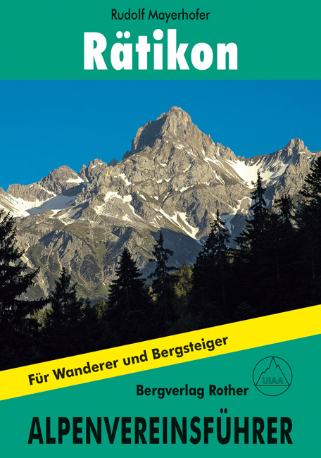
- Klimgids - Klettersteiggids Rätikon | Rother Bergverlag
- Alle Routen für Wanderer und Bergsteiger Alpenvereinsführer. 10. Auflage. Leer más

The Book Depository
United Kingdom
2014
United Kingdom
2014
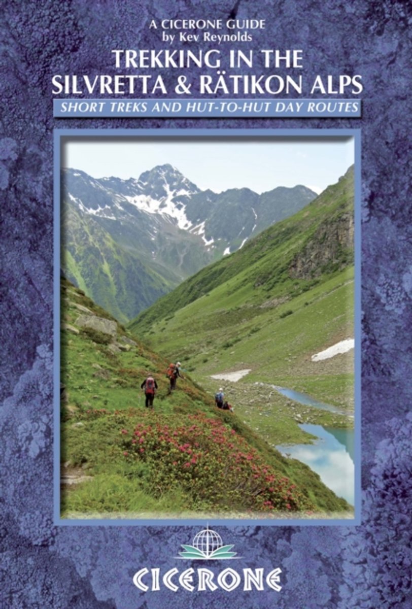
- Trekking in the Silvretta and Ratikon Alps
- Tour of the Silvretta, the Prattigauer Hohenweg and the Ratikon Hohenweg plus 12 day routes Leer más
- Also available from:
- Bol.com, Netherlands
- Bol.com, Belgium
- De Zwerver, Netherlands

Bol.com
Netherlands
2014
Netherlands
2014
- Trekking in the Silvretta and Ratikon Alps
- This guidebook describes 3 Alpine treks, between 5 and 8 days long, as well as 12 full or half day hut-to-hut routes. The three treks suitable for moderately experienced trekkers, but requiring no specialist equipment, are the Tour of the Silvretta, the Prattigauer Hohenweg and the Ratikon Hohenweg, two of which can be combined to provide a... Leer más

Bol.com
Belgium
2014
Belgium
2014
- Trekking in the Silvretta and Ratikon Alps
- This guidebook describes 3 Alpine treks, between 5 and 8 days long, as well as 12 full or half day hut-to-hut routes. The three treks suitable for moderately experienced trekkers, but requiring no specialist equipment, are the Tour of the Silvretta, the Prattigauer Hohenweg and the Ratikon Hohenweg, two of which can be combined to provide a... Leer más

De Zwerver
Netherlands
2014
Netherlands
2014
- Wandelgids Trekking in the Silvretta and Ratikon Alps | Cicerone
- This guide describes three treks, between 5 and 8 days, in the Silvretta and Rätikon Alps starting near Klosters, and 12 half-day hut-to-hut routes. These contrasting ranges form a line on the borders of Switzerland, Austria and Liechtenstein. The Tour of the Silvretta, the Prättigauer Höhenweg and the Rätikon Höhenweg. Leer más
Mapas

Stanfords
United Kingdom
United Kingdom
- Grosses Walsertal - Feldkirch - Bludenz - Laterns - Liechtenstein F&B WK375
- Grosses Walsertal - Feldkirch - Bludenz - Laterns - Liechtenstein area of the Austrian Alps presented at 1:50,000 in a series of contoured and GPS compatible outdoor leisure map from Freytag & Berndt with hiking and cycling routes, mountain huts, campsites and youth hostels, local bus stops, plus other tourist information. Coverage inclused the... Leer más

Stanfords
United Kingdom
United Kingdom
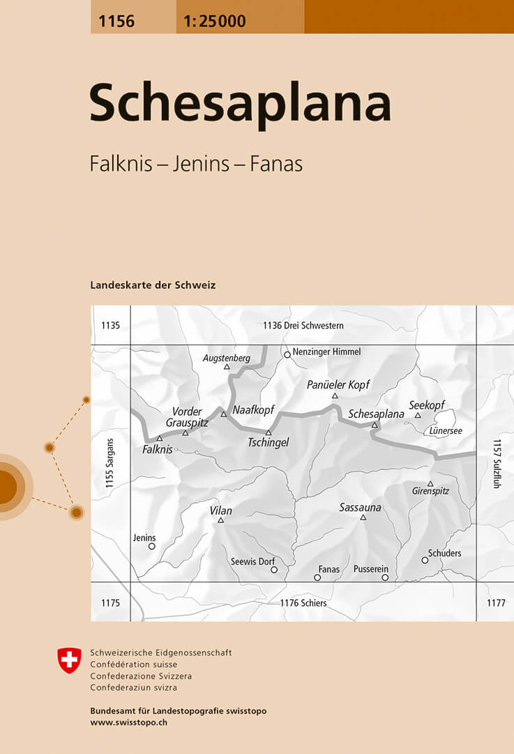
- Schesaplana Swisstopo 1156
- Map No. 1156, Schesaplana, in the topographic survey of Switzerland at 1:25,000 from Bundesamt für Landestopographie (swisstopo), covering the whole country on 247 small format sheets, with special larger maps published for popular regions including some titles now available in hiking versions.Highly regarded for their superb use of graphic... Leer más
- Also available from:
- De Zwerver, Netherlands

De Zwerver
Netherlands
Netherlands
- Wandelkaart - Topografische kaart 1156 Schesaplana | Swisstopo
- Map No. 1156, Schesaplana, in the topographic survey of Switzerland at 1:25,000 from Bundesamt f Leer más

