Cotopaxi
Descripción
Enlaces
Datos
Informes
Guías y mapas
Hospedaje
Organizaciones
Operadores turísticos
GPS
Otro
Libros

Bol.com
Netherlands
Netherlands
- Mountain Days at Home and Abroad
- 'Mountain Days at Home and Abroad' is a lively account of the author's adventures in the mountains over a period of some 40 years, starting from the early days when he took part in annual mountain challenges and volunteered as an instructor on various Hill Walking and Climbing courses run by the Scouts from the old railway station at... Leer más
- Also available from:
- Bol.com, Belgium

Bol.com
Belgium
Belgium
- Mountain Days at Home and Abroad
- 'Mountain Days at Home and Abroad' is a lively account of the author's adventures in the mountains over a period of some 40 years, starting from the early days when he took part in annual mountain challenges and volunteered as an instructor on various Hill Walking and Climbing courses run by the Scouts from the old railway station at... Leer más

Bol.com
Netherlands
Netherlands
- Tagebuch Einer Ecuador Reise
- Ecuador ist der kleinste unter den Andenstaaten und verdankt seinen Namen der Aquatorlinie, die etwas nordlich der Hauptstadt Quito verlauft. Das Land wird im Norden von Kolumbien und im Suden und Osten von Peru begrenzt. Eine Reise durch dieses Land hinterlasst beim Reisenden tiefe Eindrucke aufgrund der zahlreichen Extreme die dieses Land... Leer más
- Also available from:
- Bol.com, Belgium

Bol.com
Belgium
Belgium
- Tagebuch Einer Ecuador Reise
- Ecuador ist der kleinste unter den Andenstaaten und verdankt seinen Namen der Aquatorlinie, die etwas nordlich der Hauptstadt Quito verlauft. Das Land wird im Norden von Kolumbien und im Suden und Osten von Peru begrenzt. Eine Reise durch dieses Land hinterlasst beim Reisenden tiefe Eindrucke aufgrund der zahlreichen Extreme die dieses Land... Leer más
Mapas

Stanfords
United Kingdom
United Kingdom
- Galapagos Islands - Quito & Guayaquil ITMB
- A map from ITMB conveniently combining coverage of the Galapagos Islands with street plans of Quito and Guayaquil plus road maps of the environs of both cities for those who wish to explore them on their way to or from the archipelago.On one side is a map at 1:380,000 of the Galapagos Islands with bold altitude colouring and contours at 50m... Leer más

Stanfords
United Kingdom
United Kingdom
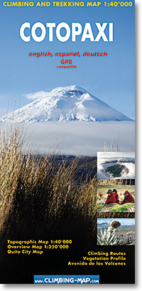
- Cotopaxi
- Cotopaxi at 1:40,000 on an excellent map combining topographic coverage of the mountain with panorama maps showing the two approaches to the summit, a road map of the region, a street plan of Quito, information on vegetation an geology, etc.On one side is a map of Cotopaxi at 1:40,000 with showing routes to the summit. Contours are at 40m... Leer más
- Also available from:
- De Zwerver, Netherlands

De Zwerver
Netherlands
Netherlands
- Wandelkaart trekkingmap Cotopaxi - Ecuador | Climbing-map
- Cotopaxi at 1:40,000 on an excellent map combining topographic coverage of the mountain with panorama maps showing the two approaches to the summit, a road map of the region, a street plan of Quito, information on vegetation an geology, etc.On one side is a map of Cotopaxi at 1:40,000 with showing routes to the summit. Contours are at 40m... Leer más


