Groenlandia
Descripción
Senderos
Regiones
Enlaces
Datos
Informes
Guías y mapas
Hospedaje
Organizaciones
Operadores turísticos
GPS
Otro
Libros

Bol.com
Netherlands
Netherlands
- The Saga Of A Supercargo
- 1926. Illustrated with photographs by the author. The author's account of his travels around Greenland on the tramp steamer Bauta. Contents: Dropping the Pilot; Vikings of Today; Fore and Aft; Sea-Room; Ivigtut; An Eskimo Village; Greenlanders; Ice-Blink; Old Fighting-Fellows; Viking Trail. Leer más
- Also available from:
- Bol.com, Belgium
Bol.com
Belgium
Belgium
- The Saga Of A Supercargo
- 1926. Illustrated with photographs by the author. The author's account of his travels around Greenland on the tramp steamer Bauta. Contents: Dropping the Pilot; Vikings of Today; Fore and Aft; Sea-Room; Ivigtut; An Eskimo Village; Greenlanders; Ice-Blink; Old Fighting-Fellows; Viking Trail. Leer más
Bol.com
Netherlands
Netherlands
- The Arctic Melt
- 'The Arctic Melt: Images of a Disappearing Landscape' is a brilliant new monograph by universally-acclaimed art and environmental photographer Diane Tuft. Following on the heels of Tuft's previous publication, 'Gondwana: Images of an Ancient Land', this new book showcases her breathtaking and visually astounding journey to capture the ice in... Leer más
- Also available from:
- Bol.com, Belgium
Bol.com
Belgium
Belgium
- The Arctic Melt
- 'The Arctic Melt: Images of a Disappearing Landscape' is a brilliant new monograph by universally-acclaimed art and environmental photographer Diane Tuft. Following on the heels of Tuft's previous publication, 'Gondwana: Images of an Ancient Land', this new book showcases her breathtaking and visually astounding journey to capture the ice in... Leer más
Bol.com
Netherlands
Netherlands
- Amazing Greenland
- This book walks you through the world's largest non-continental island blanketed with ice two miles thick, a wonderland where glaciers meet the sea and icebergs chock the fields. For more than 4000 years the settlers have called this marginal land home. Join your tourmates Troy (the fennec fox), and Tamias (the chipmunk), to explore the... Leer más
- Also available from:
- Bol.com, Belgium
Bol.com
Belgium
Belgium
- Amazing Greenland
- This book walks you through the world's largest non-continental island blanketed with ice two miles thick, a wonderland where glaciers meet the sea and icebergs chock the fields. For more than 4000 years the settlers have called this marginal land home. Join your tourmates Troy (the fennec fox), and Tamias (the chipmunk), to explore the... Leer más
Bol.com
Netherlands
Netherlands
- Frommer's Denmark
- Experience a place the way the locals do. Enjoy the best it has to offer. And avoid tourist traps. At Frommer's, we use 150 outspoken travel experts around the world to help you make the right choices. Frommer's. Your guide to a world of travel experience. Choose the Only Guide That Gives You:* Outspoken opinions on what's worth your time and... Leer más
- Also available from:
- Bol.com, Belgium
Bol.com
Belgium
Belgium
- Frommer's Denmark
- Experience a place the way the locals do. Enjoy the best it has to offer. And avoid tourist traps. At Frommer's, we use 150 outspoken travel experts around the world to help you make the right choices. Frommer's. Your guide to a world of travel experience. Choose the Only Guide That Gives You:* Outspoken opinions on what's worth your time and... Leer más
De Zwerver
Netherlands
2022
Netherlands
2022
- Reisgids Eyewitness Travel Denmark - Denemarken | Dorling Kindersley
- Enchanting villages, forward-thinking design and epic heritage - welcome to Denmark.Whether you want to adventure like a Viking, sample cutting-edge cuisine or practise the art of hygge, your DK Eyewitness travel guide makes sure you experience all that Denmark has to offer.From the captivating cities to the far-flung corners, each region of... Leer más
Bol.com
Netherlands
2010
Netherlands
2010
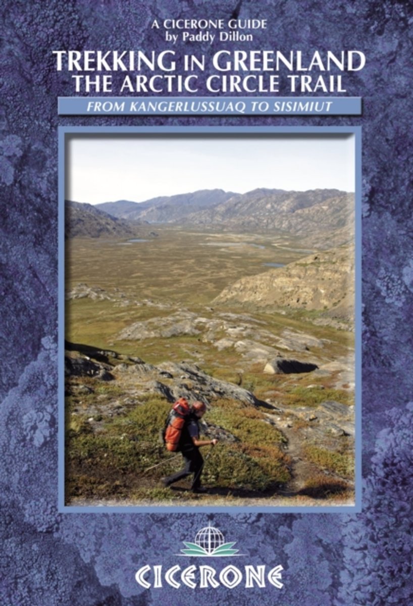
- Trekking in Greenland
- At just over 100 miles long, and taking 7 to 10 days to complete, the Arctic Circle Trail crosses the largest ice-free patch of West Greenland. This splendid trekking route, lying 25-30 miles north of the Arctic Circle runs from Kangerlussuaq to Sisimiut (both of which have airport access). The trail traverses remote, empty, silent and... Leer más
- Also available from:
- Bol.com, Belgium
Bol.com
Belgium
2010
Belgium
2010
- Trekking in Greenland
- At just over 100 miles long, and taking 7 to 10 days to complete, the Arctic Circle Trail crosses the largest ice-free patch of West Greenland. This splendid trekking route, lying 25-30 miles north of the Arctic Circle runs from Kangerlussuaq to Sisimiut (both of which have airport access). The trail traverses remote, empty, silent and... Leer más
Mapas

Stanfords
United Kingdom
United Kingdom
- Evighedsfjorden Hiking Map
- Evighedsfjorden Hiking Map No. 16 at 1: 75,000 part of a series covering the Coastal areas of Greenland at 1:100,000 or 1:75,000 of GPS compatible contoured topographic maps from Greenland Tourism, indicating both recommended hiking trails and snowmobile routes, plus camping places, youth hostels, etc.Contours lines are at 25m intervals and... Leer más

Stanfords
United Kingdom
United Kingdom
- Qeqertarsuaq - Disko Island Hiking Map 15
- Qegertarsuaq Hiking Map No. 15 at 1: 100,000 part of a series covering the Coastal areas of Greenland at 1:100,000 or 1:75,000 of GPS compatible contoured topographic maps from Greenland Tourism, indicating both recommended hiking trails and snowmobile routes, plus camping places, youth hostels, etc.Contours lines are at 25m intervals and... Leer más

Stanfords
United Kingdom
United Kingdom
- 1331 Greenland Westcoast - Nuuk (Godthab)
- Official charts for the coast of Greenland produced by the Danish Hydrographic Office. The charts are ordered upon customer demand, therefore please contact us if you require the charts urgently.For any further information, you can contact maritime@stanfords.co.uk.Plans included in this chart:- Sarfarnertooq 1:12,500- Hans Egede Boplads 1:20,000 Leer más

Stanfords
United Kingdom
United Kingdom
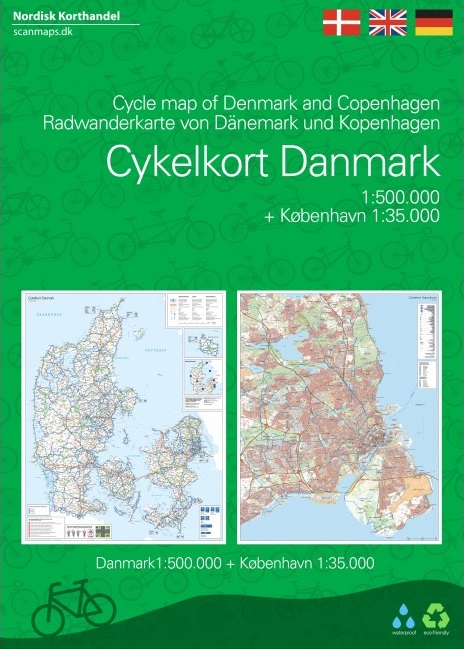
- Denmark: Nordisk 100K Cycling Maps
- Demark at 1:100,000 on a series of sturdy, waterproof and tear-resistant, double-sided cycling maps from the Copenhagen-based Nordisk Korthandel, showing the country’s national, regional and local cycling routes with numbers, plus locations of campsites and youth hostels, etc.The maps show Denmark’s network of roads, railways and ferry... Leer más

Stanfords
United Kingdom
United Kingdom
- 160 Smalandsfarvandet - Western Part
- Official charts for the coast of Denmark produced by the Danish Hydrographic Office. The charts are ordered upon customer demand, therefore please contact us if you require the charts urgently.For any further information, you can contact maritime@stanfords.co.uk.Plans included in this chart:- Indsejling til Skælskør 1:20,000- Bandholm 1:8,000 Leer más

Stanfords
United Kingdom
United Kingdom
- 1151 Greenland Westcoast - Harbour Plans - Umiarsualiviit assingi
- Official charts for the coast of Greenland produced by the Danish Hydrographic Office. The charts are ordered upon customer demand, therefore please contact us if you require the charts urgently.For any further information, you can contact maritime@stanfords.co.uk.Harbour plans in this chart:- Qaqortoq (Julianehab) 1:2 500 - Matu Lob 1:10 000 -... Leer más

Stanfords
United Kingdom
United Kingdom
- 197 Baltic Sea - Gedser Rev and Kadetrenden
- Official charts for the coast of Denmark produced by the Danish Hydrographic Office. The charts are ordered upon customer demand, therefore please contact us if you require the charts urgently.For any further information, you can contact maritime@stanfords.co.uk.Plan included in this chart:- Indsejling til Gedser 1:25,000- Gedser 1:8,000 Leer más

Stanfords
United Kingdom
United Kingdom
- 1450 Greenland Westcoast - Harbour Plans
- Official charts for the coast of Greenland produced by the Danish Hydrographic Office. The charts are ordered upon customer demand, therefore please contact us if you require the charts urgently.For any further information, you can contact maritime@stanfords.co.uk.Harbour plans in this chart:- Skildpadderne – Kangaannguaq 1:25 000- Kangaamiut... Leer más

Stanfords
United Kingdom
United Kingdom
- 2351 Greenland Eastcoast - Harbour Plans - Tasiilaq, Kulusuk, Kungmit
- Official charts for the coast of Greenland produced by the Danish Hydrographic Office. The charts are ordered upon customer demand, therefore please contact us if you require the charts urgently.For any further information, you can contact maritime@stanfords.co.uk.Harbour plans in this chart:- Tasiilaq 1:20 000 - Tasiilaq 1:5 000 - Kulusuk- Kungmit Leer más

Stanfords
United Kingdom
United Kingdom
- 134 Port of Copenhagen
- Official charts for the coast of Denmark produced by the Danish Hydrographic Office. The charts are ordered upon customer demand, therefore please contact us if you require the charts urgently.For any further information, you can contact maritime@stanfords.co.uk.Plans included in this chart:- Copenhagen, Northern part 1:10 000- Copenhagen,... Leer más
Stanfords
United Kingdom
United Kingdom
- Narsarsuaq
- Narsarsuaq - Narsaq - Qaqortog, map no. 1, in a series of topographic maps of popular coastal areas of southern and central Greenland. Countours are shown at 25-metre intervals, with additional altitude colouring. The maps show settlements, farms, shepherds` huts, water supply areas, roads and tracks, fords, rivers and streams, etc. Tourist... Leer más
De Zwerver
Netherlands
2021
Netherlands
2021
De Zwerver
Netherlands
Netherlands
Más mapas…