Voyageur Trail
Descripción
- Name Voyageur Trail
- Distancia de sendero 1,100 km, 684 millas
- Duración en días 75 días
- Inicio de sendero Thunder Bay
- Fin de sendero Manitoulin Island
- Clasificación Traildino SW, Caminata extenuante, sendero de montaña
- Clasificación Travesía de refugios T2, Caminata de montaña
Thunder Bay – Manitoulin Island, 1.100 km
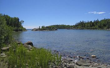
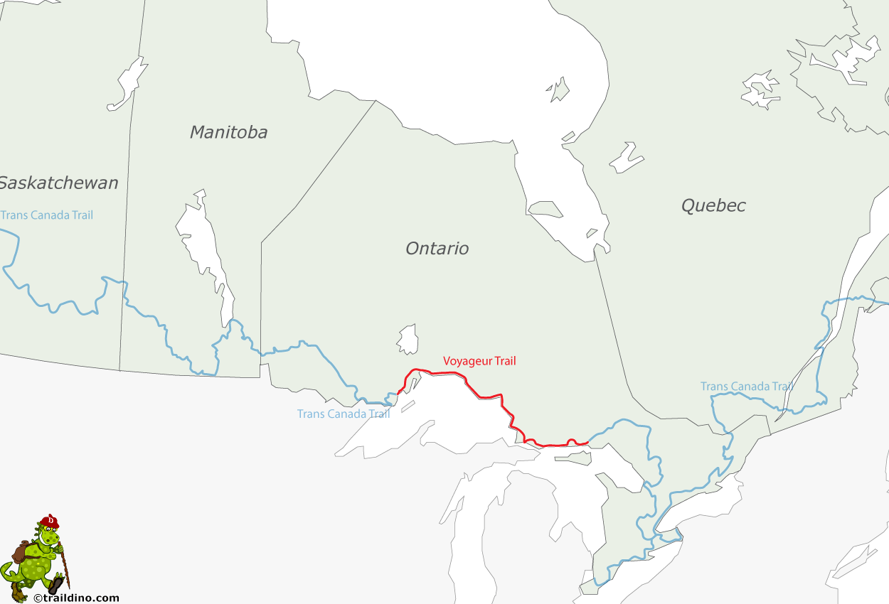
The Voyageur Trail is a trail along Lake Superior in Ontario. The volunteers of the Voyageur Trail Association did manage to prepare most, but not all, the intended traject. In many places it is a primitive trail in rugged country. Most hikers choose a part of the trail. The Voyageur Trail uses other trails, like Lake Superior Provincial Park Coastal Trail and Pukaskwa National Park Coastal Trail.
You need stamina and physical condition. This is a true wilderness trail. The website states that one can expect to do approximately two kilometers an hour. There are no facilities. You have to camp, carry your food, make the best equipment decisions, etc. You might encounter moose, wolf and black bear. Carry a bear bag which you must hang some distance from your tent at least 10 feet off the ground. Another remark from the VTA is to use bear spray in the eyes of the intruder, and not as a repellent (…).
Given the nature of the track, the Voyageur Trail is a pedestrian trail only. It is made for hiking, backpacking, snowshoeing and bushwhack skiing.


