Grand Valley Trail
Descripción
- Name Grand Valley Trail
- Distancia de sendero 275 km, 171 millas
- Duración en días 14 días
- Inicio de sendero Alton
- Fin de sendero Dunnyville
- Clasificación Traildino MW, Caminata moderada, sendero de mochileros
- Clasificación Travesía de refugios T1, Caminata
Alton – Dunnyville / Lake Erie, 275 km, 14 days
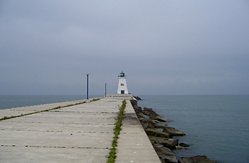
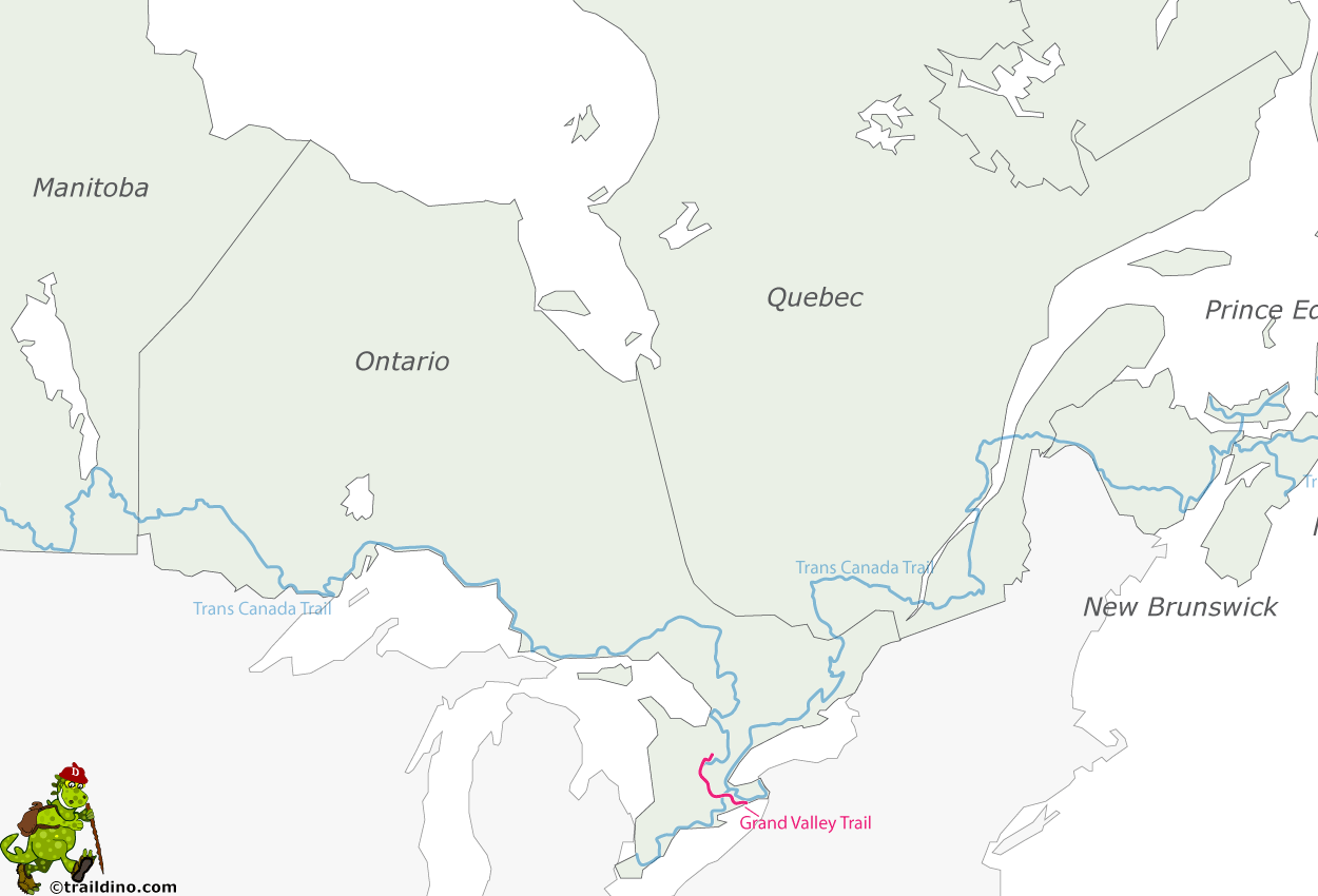
The Grand Valley Trail is a marked footpath stretching about 275 km between Rock Point Provincial Park on Lake Erie south of Dunnville to the town of Alton near Orangeville. Here it connects to the Bruce Trail. There is woodlands to enjoy, meadows and historic sites, and of course the Grand River.
In the villages one can find B&B's for lodging. The major cities offer hotels. Along the trail are some campsites. The cities of Toronto and Hamilton are about 60 km from the trailheads.
Do check the trail changes on the homepage of the Grand Valley Trails Association.


