Dales Way
Descripción
- Name Dales Way
- Distancia de sendero 130 km, 81 millas
- Duración en días 7 días
- Clasificación Traildino EW, Paseo fácil, sendero en la naturaleza

81 miles, 130 km, 7 days
The Dales Way connects Leeds with the Lake District. The trail follows rivers and valleys in the Yorkshire Dales National Park and stays low most of the time, making it relatively easy. It is a beautiful walk for people who want to venture on a long distance footpath for the first time. After reaching the Lake District, there is a wide choice of other walks.
Mapa

Enlaces
Datos
Informes
Guías y mapas
Hospedaje
Organizaciones
Operadores turísticos
GPS
Otro
Libros


The Book Depository
United Kingdom
2011
United Kingdom
2011
- The Dales Way
- This guidebook has all that a walker needs: concise, up-to-date directions for the main Way and Bradford Link background on geology, railway heritage, farming and wildlife side-trips to heritage centres and a feature on Bolton Priory contact details for accommodation and transport dropdown route map (1:110,000) over 70 glorious colour photos... Leer más
- Also available from:
- De Zwerver, Netherlands
De Zwerver
Netherlands
2011
Netherlands
2011
- Wandelgids The Dales Way | Rucksack Readers
- This guidebook has all that a walker needs: concise, up-to-date directions for the main Way and Bradford Link background on geology, railway heritage, farming and wildlife side-trips to heritage centres and a feature on Bolton Priory contact details for accommodation and transport dropdown route map (1:110,000) over 70 glorious colour photos... Leer más

Stanfords
United Kingdom
2021
United Kingdom
2021
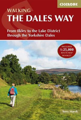
- Walking the Dales Way: Ilkley to Bowness-on-Windermere through the Yorkshire Dales
- A fully waymarked trail from Ilkley to Bowness-on-Windermere, the Dales Way links two of England`s most celebrated national parks, the Yorkshire Dales and the Lake District. Well served for accommodation and facilities, and with easy walking on riverside paths, it is one of the gentlest multi-day walks in Britain and therefore an ideal... Leer más
- Also available from:
- The Book Depository, United Kingdom
- De Zwerver, Netherlands

The Book Depository
United Kingdom
2021
United Kingdom
2021
- Walking the Dales Way
- Ilkley to Bowness-on-Windermere through the Yorkshire Dales Leer más
De Zwerver
Netherlands
2021
Netherlands
2021
- Wandelgids The Dales Way | Cicerone
- A fully waymarked trail from Ilkley to Bowness-on-Windermere, the Dales Way links two of England`s most celebrated national parks, the Yorkshire Dales and the Lake District. Well served for accommodation and facilities, and with easy walking on riverside paths, it is one of the gentlest multi-day walks in Britain and therefore an ideal... Leer más


The Book Depository
United Kingdom
2022
United Kingdom
2022
- Dales Way (Trailblazer British Walking Guides)
- Ilkley to Bowness-on-Windermere: Planning, Places to Stay, Places to Eat Leer más
- Also available from:
- De Zwerver, Netherlands
De Zwerver
Netherlands
2022
Netherlands
2022
- Wandelgids Dales Way | Trailblazer Guides
- Ilkley to Bowness-on-Windermere: Planning, Places to Stay, Places to Eat Leer más

- Also available from:
- De Zwerver, Netherlands
De Zwerver
Netherlands
2017
Netherlands
2017
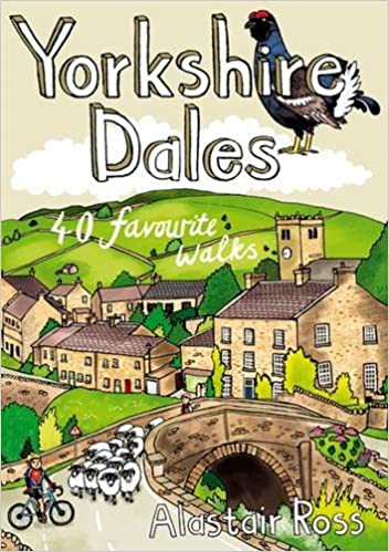
- Wandelgids Yorkshire Dales | Pocket Mountains
- The Yorkshire Dales combine a wild limestone landscape of high rolling moorland gouged by dramatic caves and cascading waterfalls with peaceful farmland carpeted in wildflowers and dotted with ruined abbeys, ancient stone walls and barns, and timeless villages waiting to be discovered.The 40 moderate walks in this collection from award winning... Leer más
Bol.com
Netherlands
2018
Netherlands
2018
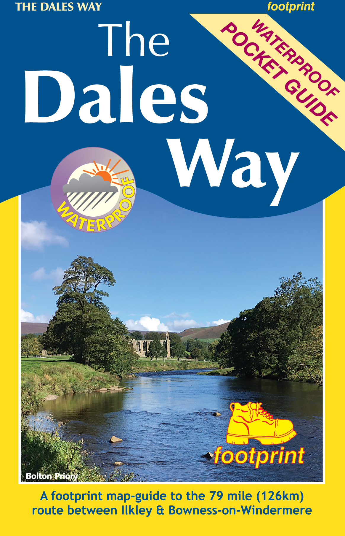
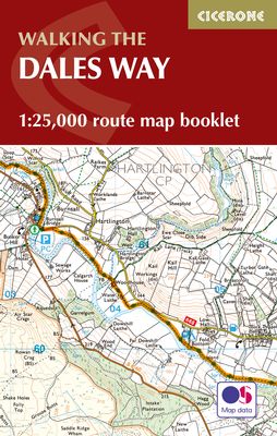
- The Dales Way Map Booklet
- All the mapping you need to complete the Dales Way, a 79-mile long-distance route through the Yorkshire Dales, from Ilkley to Bowness-on-Windermere. NOTE: An accompanying Cicerone guidebook - The Dales Way - describes the full route with lots of other practical and historical information. The accompanying guidebook includes a copy of this map... Leer más
- Also available from:
- Bol.com, Belgium
Bol.com
Belgium
2018
Belgium
2018
- The Dales Way Map Booklet
- All the mapping you need to complete the Dales Way, a 79-mile long-distance route through the Yorkshire Dales, from Ilkley to Bowness-on-Windermere. NOTE: An accompanying Cicerone guidebook - The Dales Way - describes the full route with lots of other practical and historical information. The accompanying guidebook includes a copy of this map... Leer más

Stanfords
United Kingdom
2016
United Kingdom
2016
- Dales Way
- The popular Dales Way long-distance footpath begins in Ilkley, West Yorkshire and runs for 84 miles (135km) to end in the Lake District, in Bowness-on-Windermere. It follows riverside paths along the River Wharf towards Ribblehead and the watershed of northern England, then meanders along the river valleys of Dentdale, the River Mint and the... Leer más
- Also available from:
- Bol.com, Netherlands
- Bol.com, Belgium

Bol.com
Netherlands
2016
Netherlands
2016
- Dales Way
- The popular Dales Way long-distance footpath begins in Ilkley, West Yorkshire and runs for 84 miles (135km) to end in the Lake District, in Bowness-on-Windermere. It follows riverside paths along the River Wharf towards Ribblehead and the watershed of northern England, then meanders along the river valleys of Dentdale, the River Mint and the... Leer más
Bol.com
Belgium
2016
Belgium
2016
- Dales Way
- The popular Dales Way long-distance footpath begins in Ilkley, West Yorkshire and runs for 84 miles (135km) to end in the Lake District, in Bowness-on-Windermere. It follows riverside paths along the River Wharf towards Ribblehead and the watershed of northern England, then meanders along the river valleys of Dentdale, the River Mint and the... Leer más
Bol.com
Netherlands
Netherlands
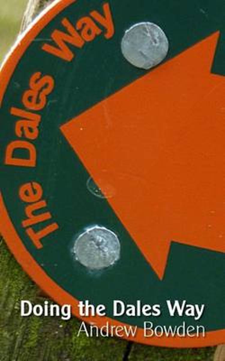
- Doing the Dales Way
- Take one person and a rucksack, put them in a market town in West Yorkshire, and point them towards Windermere. If they've not instantly leaped in a car, hailed a cab or run to the train station, then chances are that they're doing the Dales Way. Andrew Bowden was one such person. And this is his tale. Fans of thrillers and romance need detain... Leer más
- Also available from:
- Bol.com, Belgium
Bol.com
Belgium
Belgium
- Doing the Dales Way
- Take one person and a rucksack, put them in a market town in West Yorkshire, and point them towards Windermere. If they've not instantly leaped in a car, hailed a cab or run to the train station, then chances are that they're doing the Dales Way. Andrew Bowden was one such person. And this is his tale. Fans of thrillers and romance need detain... Leer más
Bol.com
Netherlands
2018
Netherlands
2018
- The Dales Way
- A fully waymarked trail from Ilkley to Bowness-on-Windermere, the Dales Way links two of England's most celebrated national parks, the Yorkshire Dales and the Lake District. Well served for accommodation and facilities, and with easy walking on riverside paths, it is one of the gentlest multi-day walks in Britain and therefore an ideal... Leer más
- Also available from:
- Bol.com, Belgium
Bol.com
Belgium
2018
Belgium
2018
- The Dales Way
- A fully waymarked trail from Ilkley to Bowness-on-Windermere, the Dales Way links two of England's most celebrated national parks, the Yorkshire Dales and the Lake District. Well served for accommodation and facilities, and with easy walking on riverside paths, it is one of the gentlest multi-day walks in Britain and therefore an ideal... Leer más
Mapas

Stanfords
United Kingdom
United Kingdom
- Yorkshire Dales West
- The western part of the Yorkshire Dales on a waterproof and tear-resistant, contoured and GPS compatible map at 1:40,000 from Harvey Map Services showing local right of way paths, long-distance hiking routes, off road cycling routes, etc.Topography is shown by contours at 15m intervals, with spot heights plus colouring and graphics to show... Leer más

Stanfords
United Kingdom
United Kingdom
- Yorkshire Dales for Cyclists
- Yorkshire Dales on a light, waterproof and tear-resistant, contoured and GPS compatible map at 1:100,000 from Harvey Map Services highlighting roads which are part of the various long-distance cycle trails across the Dales, plus highlighting for facilities and places of interest, enlargements for main built-up areas, etc.Topography is shown by... Leer más

Stanfords
United Kingdom
United Kingdom
- Dales Way Harvey National Trail XT40
- The Dales Way, a 135km / 85 mile route in the Yorkshire Dales and the Lake District National Parks, presented at 1:40,000 on a map from Harvey Map Services. The route itself, between Ilkley and Bowness-on-Windermere, is shown on six panels, with additional three panels covering the access to the start of the Dales Way in Ilkley from Leeds,... Leer más
- Also available from:
- The Book Depository, United Kingdom
- De Zwerver, Netherlands

The Book Depository
United Kingdom
United Kingdom
- Dales Way
- The Dales Way, a 135km / 85 mile route in the Yorkshire Dales and the Lake District National Parks, presented at 1:40,000 on a map from Harvey Map Services. The route itself, between Ilkley and Bowness-on-Windermere, is shown on six panels, with additional three panels covering the access to the start of the Dales Way in Ilkley from Leeds,... Leer más

De Zwerver
Netherlands
Netherlands
- Wandelkaart Dales Way | Harvey Maps
- The Dales Way, a 135km / 85 mile route in the Yorkshire Dales and the Lake District National Parks, presented at 1:40,000 on a map from Harvey Map Services. The route itself, between Ilkley and Bowness-on-Windermere, is shown on six panels, with additional three panels covering the access to the start of the Dales Way in Ilkley from Leeds,... Leer más

The Book Depository
United Kingdom
United Kingdom
- Lakes SE
- The south-eastern area of the Lake District on a detailed topographic and GPS compatible map OL7, waterproof version, from the Ordnance Survey’s 1:25,000 Explorer series. Coverage extends eastwards from Coniston and the northern part of the Coniston Water to the Killington Reservoir and includes Grasmere, Ambleside, Windermere, Kendal, Penny... Leer más

Stanfords
United Kingdom
2020
United Kingdom
2020
- Yorkshire Dales Harvey Touring & Planning Map
- Yorkshire Dales on a road map at 1:100,000 from Harvey Map Services with several enlargements showing main roads across local towns, plus descriptions of interesting locations, advice on public transport, etc. The map shows the Dales region with altitude colouring to indicate the region’s topography. Long-distance trails such as the Dales Way,... Leer más
- Also available from:
- De Zwerver, Netherlands

De Zwerver
Netherlands
2020
Netherlands
2020
- Fietskaart Yorkshire Dales Touring / Nidderdale Area of NB | Harvey Maps
- Yorkshire Dales on a road map at 1:100,000 from Harvey Map Services with several enlargements showing main roads across local towns, plus descriptions of interesting locations, advice on public transport, etc. The map shows the Dales region with altitude colouring to indicate the region Leer más
Más mapas…