
Ochil Hills
Descripción
Range of hills in central Scotland, north of Edinburgh. You can walk freely here, and climb the many hills, but there is no marked long distance footpath.
Enlaces
Datos
Informes
Guías y mapas
Hospedaje
Organizaciones
Operadores turísticos
GPS
Otro
Libros

Stanfords
United Kingdom
2015
United Kingdom
2015
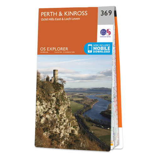
- Perth & Kinross - Ochil Hills East & Loch Leven OS Explorer Map 369 (paper)
- Perth, Kinross, Ochil Hills East and Loch Leven area on a detailed topographic and GPS compatible map No. 369, paper version, from the Ordnance Survey’s 1:25,000 Explorer series. MOBILE DOWNLOADS: this title and all the other OS Explorer maps include a code for downloading after purchase the digital version onto your smartphone or tablet for... Leer más
- Also available from:
- The Book Depository, United Kingdom
- De Zwerver, Netherlands

De Zwerver
Netherlands
2015
Netherlands
2015

Stanfords
United Kingdom
United Kingdom
- Perth & Kinross - Ochil Hills East & Loch Leven OS Explorer Active Map 369 (waterproof)
- Perth, Kinross, Ochil Hills East and Loch Leven area on a detailed topographic and GPS compatible map No. 369, waterproof version, from the Ordnance Survey’s 1:25,000 Explorer series. MOBILE DOWNLOADS: this title and all the other OS Explorer maps include a code for downloading after purchase the digital version onto your smartphone or tablet... Leer más
- Also available from:
- The Book Depository, United Kingdom


- Also available from:
- De Zwerver, Netherlands


- Also available from:
- De Zwerver, Netherlands

Stanfords
United Kingdom
2015
United Kingdom
2015
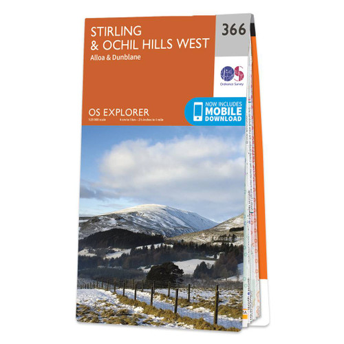
- Stirling & Ochil Hills West - Alloa & Dunblane OS Explorer Map 366 (paper)
- Stirling, Ochil Hills West, Alloa and Dunblane area on a detailed topographic and GPS compatible map No. 366, paper version, from the Ordnance Survey’s 1:25,000 Explorer series. MOBILE DOWNLOADS: this title and all the other OS Explorer maps include a code for downloading after purchase the digital version onto your smartphone or tablet for... Leer más
- Also available from:
- The Book Depository, United Kingdom
- De Zwerver, Netherlands

De Zwerver
Netherlands
2015
Netherlands
2015

Stanfords
United Kingdom
United Kingdom
- Stirling & Ochil Hills West - Alloa & Dunblane OS Explorer Active Map 366 (waterproof)
- Stirling, Ochil Hills West, Alloa and Dunblane area on a detailed topographic and GPS compatible map No. 366, waterproof version, from the Ordnance Survey’s 1:25,000 Explorer series.MOBILE DOWNLOADS: this title and all the other OS Explorer maps include a code for downloading after purchase the digital version onto your smartphone or tablet for... Leer más
- Also available from:
- The Book Depository, United Kingdom

De Zwerver
Netherlands
2016
Netherlands
2016
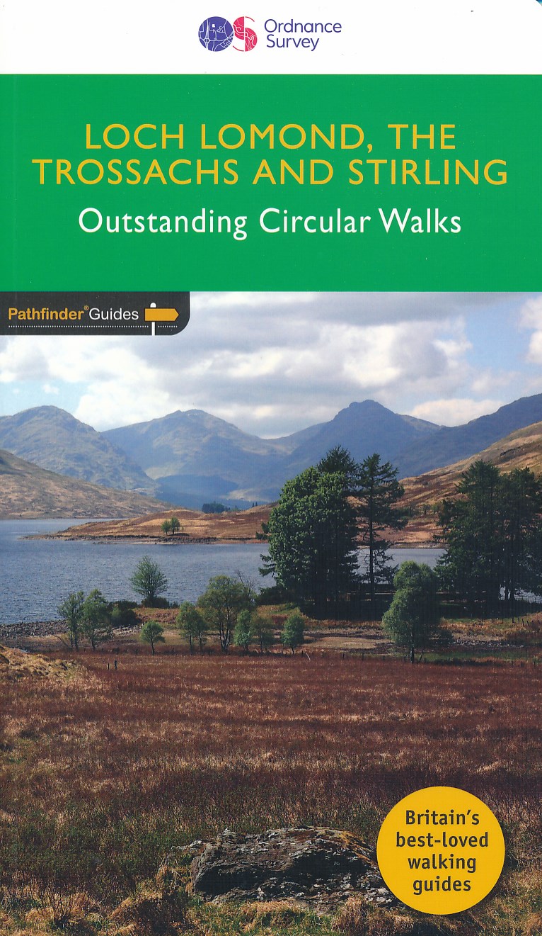
- Wandelgids 23 Pathfinder Guides Loch Lomond , The Trossachs and Stirling | Ordnance Survey
- The walks in this guide introduce the many facets of the Southern Highlands and range from easy loch-side strolls to strenuous expeditions onto some of the area`s highest mountains. Walking in Scotland is quite different from walking south of the border. In England there are only eight summits that top 3000 ft, while in Scotland there are 277,... Leer más
Bol.com
Netherlands
Netherlands
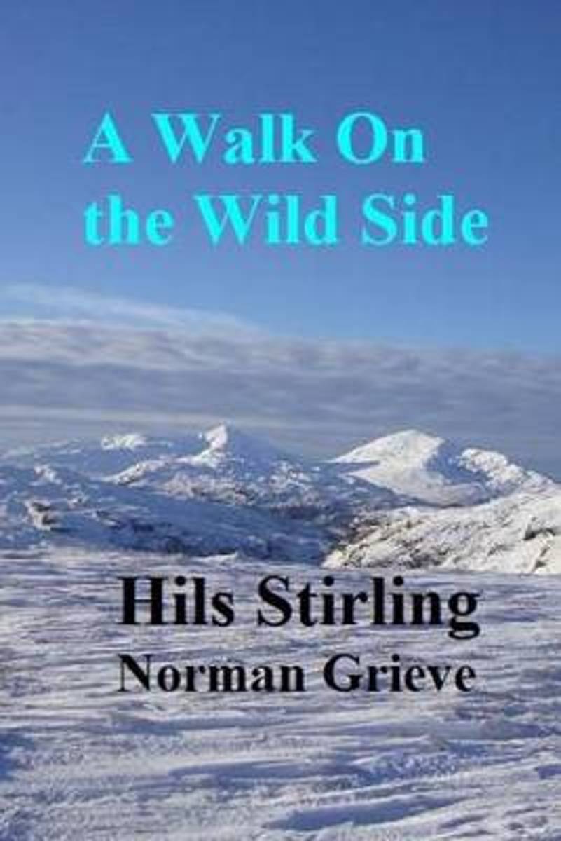
- A Walk on the Wild Side.
- P.3 Binnein's Shuas & Shios, hil and ed's great adventure!P.24 Meall Ghaordaidh - From Glen Lyon....Into the Ampitheatre!P.28 Creag Mac Ranaich, the wizard's lair.P.35 Mount Battock - Glen Esk Take 3!P.42 Angus Graham named Hunt Hill.P.56 Lochnagar (+2) via Glen Callater - The Crown Jewel.P.70 Beinn Chuirn - Scottish Hills walk on the wild... Leer más
- Also available from:
- Bol.com, Belgium
Bol.com
Belgium
Belgium
- A Walk on the Wild Side.
- P.3 Binnein's Shuas & Shios, hil and ed's great adventure!P.24 Meall Ghaordaidh - From Glen Lyon....Into the Ampitheatre!P.28 Creag Mac Ranaich, the wizard's lair.P.35 Mount Battock - Glen Esk Take 3!P.42 Angus Graham named Hunt Hill.P.56 Lochnagar (+2) via Glen Callater - The Crown Jewel.P.70 Beinn Chuirn - Scottish Hills walk on the wild... Leer más

- Also available from:
- Bol.com, Netherlands
- Bol.com, Belgium
- De Zwerver, Netherlands
Bol.com
Netherlands
2008
Netherlands
2008
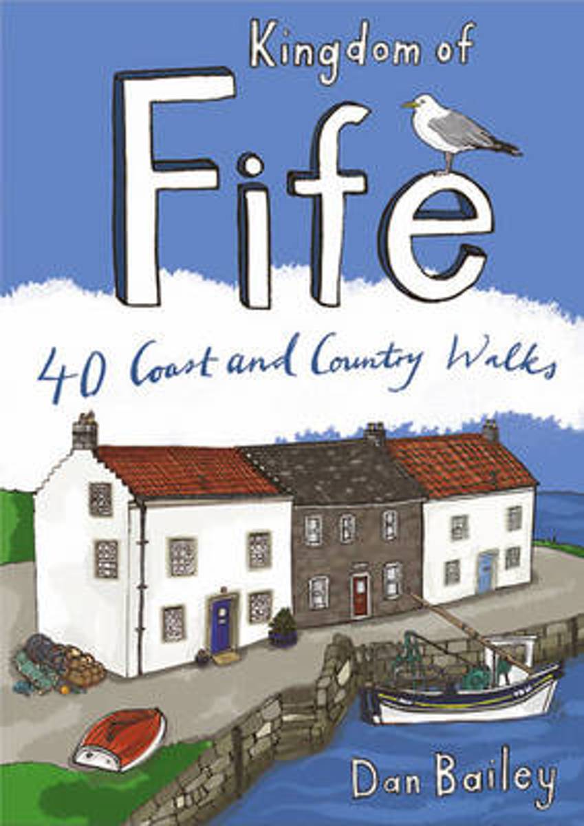
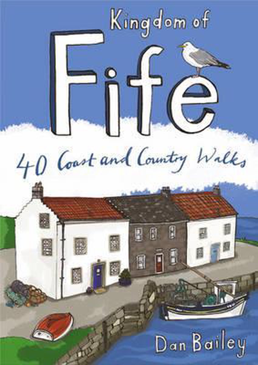
- Kingdom of Fife
- Following on from the new Pocket Mountains Town and Country series of shorter walks, this guidebook explores the stunning coast and countryside of the Kingdom of Fife.Featured here you'll find 40 inspiring short walks in and around the Kingdom, stretching from the north side of the famous Forth Bridges, along the Firth of Forth to Culross, and... Leer más
Bol.com
Belgium
2008
Belgium
2008
- Kingdom of Fife
- Following on from the new Pocket Mountains Town and Country series of shorter walks, this guidebook explores the stunning coast and countryside of the Kingdom of Fife.Featured here you'll find 40 inspiring short walks in and around the Kingdom, stretching from the north side of the famous Forth Bridges, along the Firth of Forth to Culross, and... Leer más
De Zwerver
Netherlands
2008
Netherlands
2008
- Wandelgids Weekend Walks Kingdom of Fife | Pocket Mountains
- Following on from the new Pocket Mountains Town and Country series of shorter walks, this guidebook explores the stunning coast and countryside of the Kingdom of Fife.Featured here you'll find 40 inspiring short walks in and around the Kingdom, stretching from the north side of the famous Forth Bridges, along the Firth of Forth to Culross, and... Leer más
Mapas

Stanfords
United Kingdom
2021
United Kingdom
2021
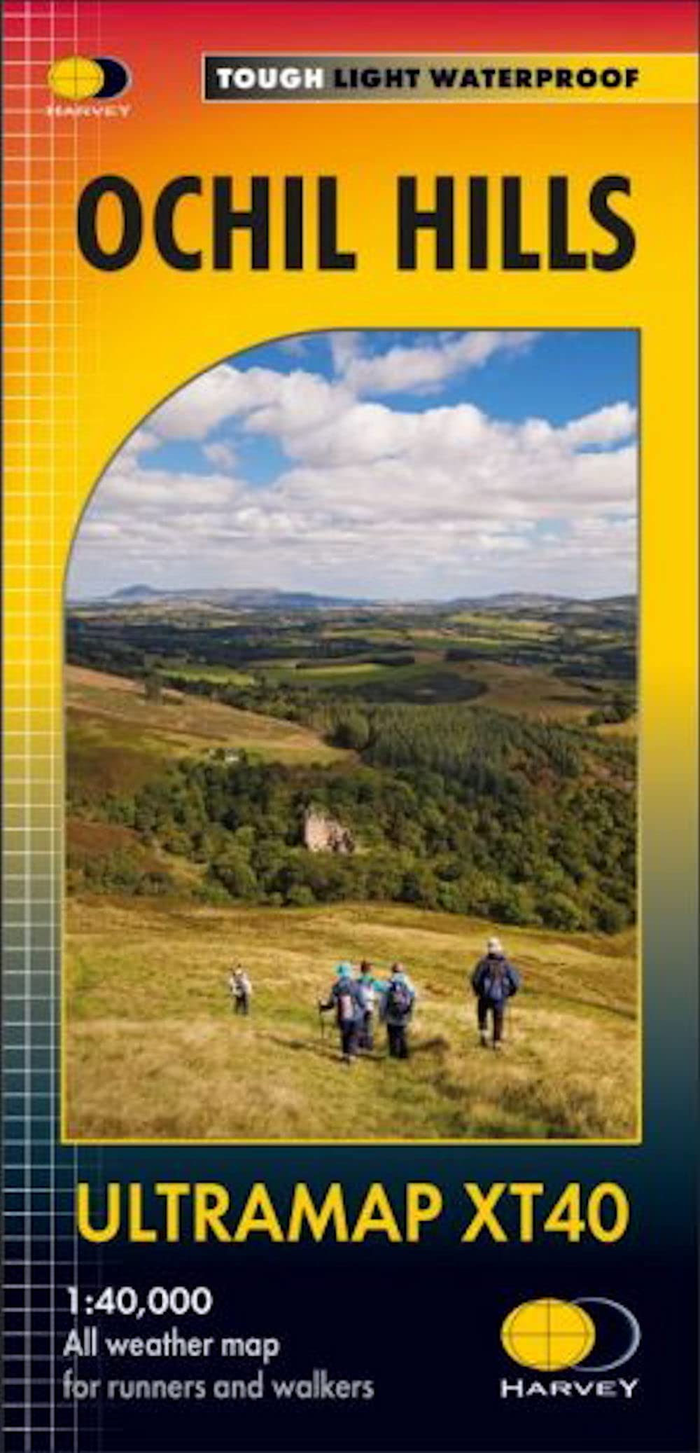
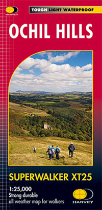
- Ochil Hills Harvey Superwalker XT25
- The Ochil Hills north of Stirling at 1:25,000 on a waterproof and tear-resistant map from Harvey Map Services in their Superwalker series. Coverage extends from the Bridge of Allan in the south-west to Auchterarder in the north. The map is double-sided, with a generous overlap between the sides, and includes three enlargements showing in... Leer más
- Also available from:
- The Book Depository, United Kingdom
- De Zwerver, Netherlands

The Book Depository
United Kingdom
2021
United Kingdom
2021
- Ochil Hills
- The Ochil Hills north of Stirling at 1:25,000 on a waterproof and tear-resistant map from Harvey Map Services in their Superwalker series. Coverage extends from the Bridge of Allan in the south-west to Auchterarder in the north. The map is double-sided, with a generous overlap between the sides, and includes three enlargements showing in... Leer más
De Zwerver
Netherlands
2021
Netherlands
2021
- Wandelkaart Ochil Hills | Harvey Maps
- The Ochil Hills north of Stirling at 1:25,000 on a waterproof and tear-resistant map from Harvey Map Services in their Superwalker series. Coverage extends from the Bridge of Allan in the south-west to Auchterarder in the north. The map is double-sided, with a generous overlap between the sides, and includes three enlargements showing in... Leer más