
Dorset
Descripción
County in the south of England, on the English Channel coast. Part of the coastline consists of limestone, dating back to Traildino's roots, and this coastline is referred to as Jurassic Coast.
Senderos en región
Enlaces
Datos
Informes
Guías y mapas
Hospedaje
Organizaciones
Operadores turísticos
GPS
Otro
Libros

Stanfords
United Kingdom
United Kingdom
- Newquay, Bodmin, Camelford & St Austell OS Landranger Active Map 200 (waterproof)
- Newquay and Bodmin area, including a section of the South West Coast Path National Trail, on a waterproof and tear-resistant OS Active version of map No. 200 from the Ordnance Survey’s Landranger series at 1:50,000, with contoured and GPS compatible topographic mapping plus tourist information.MOBILE DOWNLOADS: As well as the physical edition... Leer más

Stanfords
United Kingdom
United Kingdom
- Bournemouth, Purbeck, Wimborne Minster & Ringwood OS Landranger Active Map 195 (waterproof)
- Bournemouth and the Isle of Purbeck area, including part of the New Forest National Park and a section of the South West Coast Path / E9 European Long-distance Path, on a waterproof and tear-resistant OS Active version of map No. 195 from the Ordnance Survey’s Landranger series at 1:50,000, with contoured and GPS compatible topographic mapping... Leer más

Stanfords
United Kingdom
United Kingdom
- Barnstaple, Ilfracombe, Lynton & Bideford OS Landranger Active Map 180 (waterproof)
- Barnstaple and Ilfracombe area, including the western part of the Exmoor National Park and a section of the South West Coast Path, on a waterproof and tear-resistant OS Active version of map No. 180 from the Ordnance Survey’s Landranger series at 1:50,000, with contoured and GPS compatible topographic mapping plus tourist information.MOBILE... Leer más

Stanfords
United Kingdom
United Kingdom
- South Devon - Brixham to Newton Ferrers OS Explorer Active Map OL20 (waterproof)
- The coast of South Devon on a detailed topographic and GPS compatible map OL20, waterproof version, from the Ordnance Survey’s 1:25,000 Explorer series. The map extends westwards beyond Newton Ferrers to Plymouth, eastwards beyond Brixham to Torquay, and inland to include part of the Dartmoor National Park. Coverage includes Paignton, Totness,... Leer más

The Book Depository
United Kingdom
2022
United Kingdom
2022
- Cornwall Coast Path (Trailblazer British Walking guides) SW Coast Path Part 2 - Bude to Plymouth
- Includes 142 Large-Scale Walking Maps (1:20,000) & Guides to 81 Towns and Villages - Planning, Places to Stay, Places to Eat Leer más
- Also available from:
- De Zwerver, Netherlands

De Zwerver
Netherlands
2022
Netherlands
2022
- Wandelgids Cornwall Coast Path | Trailblazer Guides
- Practical, complete hiking route guide, with maps and accommodation for the 288-mile footpath that runs around the entire coastline of Cornwall, from Bude to Plymouth; Part 2 of the South-West-Coast Path, a 630-mile National Trail from Minehead to Poole. Includes * 142 large-scale walking maps in TWO-COLOUR style (3 1/8inches to 1 mile), 15 ... Leer más

The Book Depository
United Kingdom
United Kingdom
- The Arrow Closest To The Acorn
- An American Woman's Walking Adventure On England's 630-Mile South West Coast Path Leer más

Stanfords
United Kingdom
2019
United Kingdom
2019
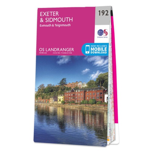
- Exeter, Sidmouth, Exmouth & Teignmouth OS Landranger Map 192 (paper)
- Exeter and Sidmouth area, including a section of the South West Coast Path / E9 European Long-distance Path, on a paper version of map No. 192 from the Ordnance Survey’s Landranger series at 1:50,000, with contoured and GPS compatible topographic mapping plus tourist information.MOBILE DOWNLOADS: As well as the physical edition of the map, each... Leer más
- Also available from:
- The Book Depository, United Kingdom
- De Zwerver, Netherlands

De Zwerver
Netherlands
2019
Netherlands
2019

Stanfords
United Kingdom
United Kingdom
- Bude, Clovelly, Boscastle & Holsworthy OS Landranger Active Map 190 (waterproof)
- Bude and Clovelly area, including a section of the South West Coast Path, on a waterproof and tear-resistant OS Active version of map No. 190 from the Ordnance Survey’s Landranger series at 1:50,000, with contoured and GPS compatible topographic mapping plus tourist information.MOBILE DOWNLOADS: As well as the physical edition of the map, each... Leer más
- Also available from:
- The Book Depository, United Kingdom


The Book Depository
United Kingdom
2013
United Kingdom
2013
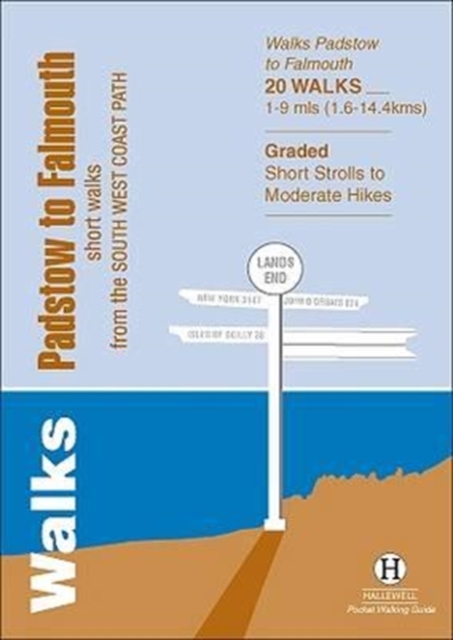
- Walks Padstow to Falmouth
- Short Walks from the South West Coast Path Leer más
- Also available from:
- De Zwerver, Netherlands
De Zwerver
Netherlands
2013
Netherlands
2013
- Wandelgids Padstow to Falmouth | Hallewell Publications
- Short Walks from the South West Coast Path Leer más


Stanfords
United Kingdom
United Kingdom
- Torquay & Dawlish - Newton Abbot OS Explorer Active Map OL44 (waterproof)
- Torquay and Dawlish area of south Devon on a detailed topographic and GPS compatible map OL44, waterproof version, from the Ordnance Survey’s 1:25,000 Explorer series. Coverage extends from the Exe Estuary in the north-east to Totnes in the south-west and includes Paignton, Newton Abbot, Teignmouth, Exminster, Bovey Tracy, Trenchford Reservoir,... Leer más
- Also available from:
- The Book Depository, United Kingdom


Stanfords
United Kingdom
2016
United Kingdom
2016
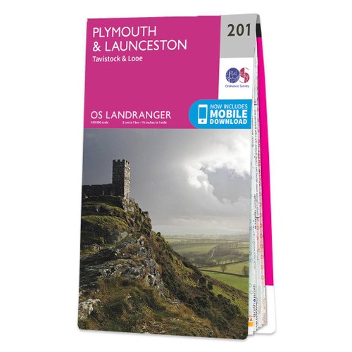
- Plymouth, Launceston, Tavistock & Looe OS Landranger Map 201 (paper)
- Plymouth and Launceston area, including a section of the South West Coast Path National Trail, on a paper version of map No. 201 from the Ordnance Survey’s Landranger series at 1:50,000, with contoured and GPS compatible topographic mapping plus tourist information.MOBILE DOWNLOADS: As well as the physical edition of the map, each Landranger... Leer más
- Also available from:
- The Book Depository, United Kingdom
- De Zwerver, Netherlands

De Zwerver
Netherlands
2016
Netherlands
2016

Stanfords
United Kingdom
United Kingdom
- Exeter, Sidmouth, Exmouth & Teignmouth OS Landranger Active Map 192 (waterproof)
- Exeter and Sidmouth area, including a section of the South West Coast Path / E9 European Long-distance Path, on a waterproof and tear-resistant OS Active version of map No. 192 from the Ordnance Survey’s Landranger series at 1:50,000, with contoured and GPS compatible topographic mapping plus tourist information.MOBILE DOWNLOADS: As well as the... Leer más
- Also available from:
- The Book Depository, United Kingdom


The Book Depository
United Kingdom
2021
United Kingdom
2021
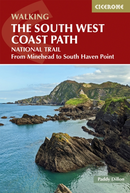
- Walking the South West Coast Path
- National Trail From Minehead to South Haven Point Leer más
- Also available from:
- De Zwerver, Netherlands
Mapas

Stanfords
United Kingdom
United Kingdom
- 2300 Dorset and Devon Coasts Chart Pack - 2015 edition SUPERCEDED
- The Needles to Start Point including Poole Harbour A pack of 9 charts for the Dorset and Devon Coasts. The pack includes: 2300.1 Isle of Wight to Start Point 1:400,000 2300.2 Western Approaches to the Solent 1:60,000 2300.3 Poole Harbour to Bill of Portland 1:75,000 2300.4 Lyme Bay 1:175,000 2300.5 Poole Harbour 1:20,000 2300.6 River Exe... Leer más

Stanfords
United Kingdom
United Kingdom
- Tour de Manche Vol. 1: North-West Normandy - Channel Is. - South Dorset Cycle Route (505km)
- Tour de Manche Vol.1: North-Western Normandy - Channel Islands - Southern Dorset Cycle Route, an A5 spiral-bound cycling guide from Itinerance a Vélo showing the 505km-long cross-Channel route on 50 map panels, plus contact addresses for recommended accommodation, cycle shops, etc. Information provided for the Channel Islands and the Dorset... Leer más

Stanfords
United Kingdom
United Kingdom
- Tour de Manche Vol. 2: Northern Brittany - Devon/Dorset - Channel Is. Cycle Route (580km)
- Tour de Manche Vol.2: de St-Malo à St-Malo cycling guide covering a 580km long-distance cross-Channel route from St-Malo along the northern coast of Brittany to Roscoff, across the Channel to Plymouth, inland around Dartmoor National Park to Exeter and westwards to Weymouth, and from there back to St-Malo via Guernsey and Jersey.Within France... Leer más
Stanfords
United Kingdom
2015
United Kingdom
2015
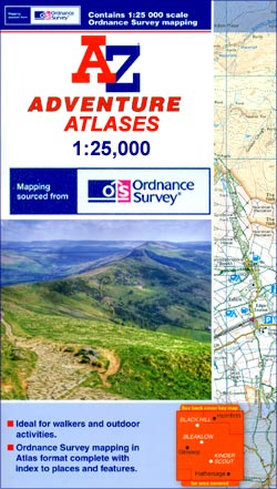
- South West Coast Path 5 - Dorset A-Z Adventure Atlas
- South West Coast Path 5 - Dorset Adventure Atlas at 1:25,000 in a series of handy A5 size Adventure Atlases from Geographers` A-Z Map Company with cartography from the Ordnance Survey’s Explorer series. The guide covers the 138 km / 86 mile section of the SWCP National Trail between Lyme Regis and Poole and includes a route planner indicating... Leer más

Stanfords
United Kingdom
United Kingdom
- East Devon - Exeter Cycling Map 85
- East Devon at 1:100,000 on a handy size, 50x35cm, double-sided contoured map from Croydecycle, printed on waterproof and tear-resistant synthetic paper and showing National Cycle routes and numerous local facilities, including campsites, pubs, etc. Coverage extends westwards just beyond Newton Abbot, Bovey Tracy and Crediton, north to Tiverton,... Leer más

Stanfords
United Kingdom
United Kingdom
- Exmoor A-Z Adventure Atlas
- Exmoor at 1:25,000 in a series of handy A5 size Adventure Atlases from Geographers` A-Z Map Company with cartography from the Ordnance Survey’s Explorer series. Coverage includes the South West Coast path between Minehead and Combe Martin Bay, Two Moors Way, Tarka Train, Dulverton, Brendon Hills, etc.To see other titles in this series please... Leer más
Bol.com
Netherlands
Netherlands
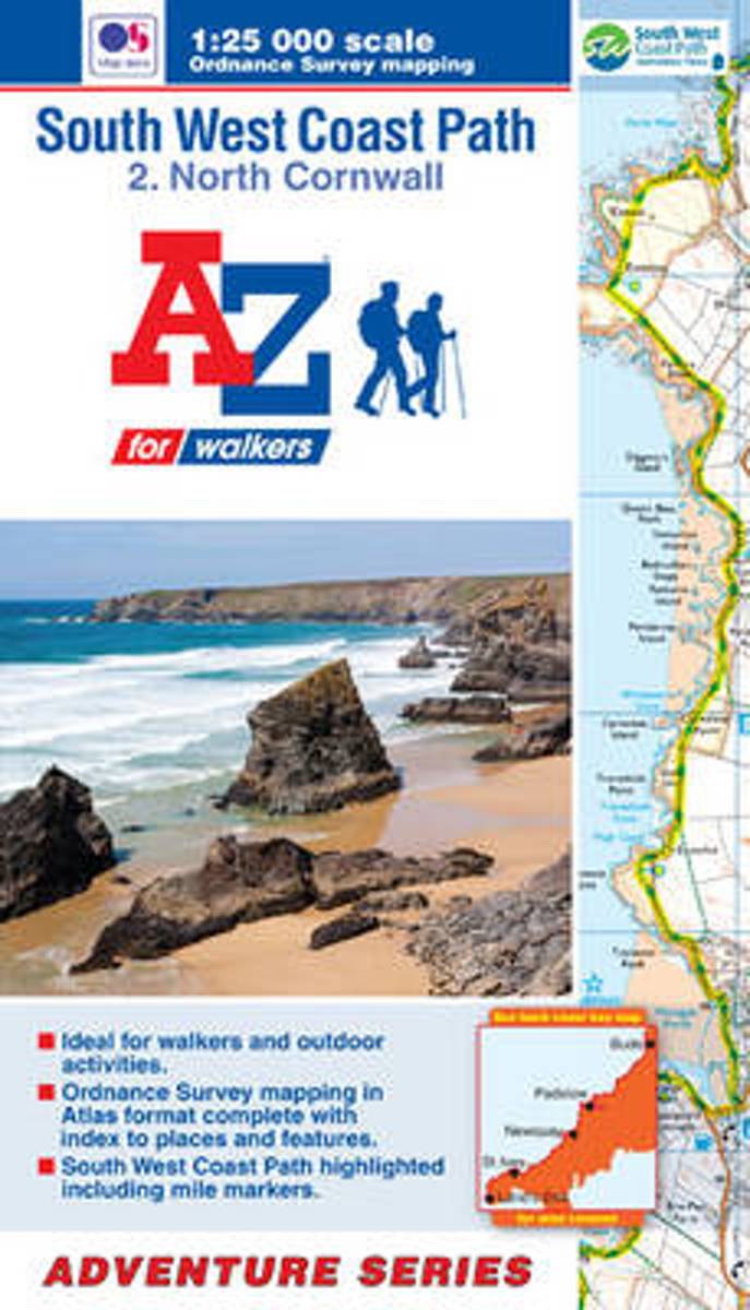
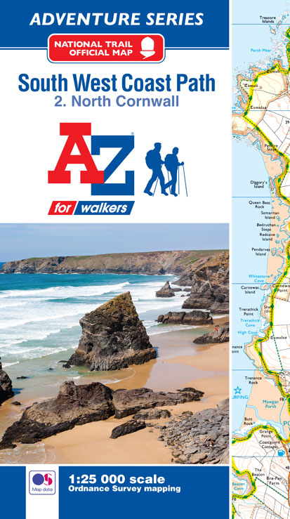
- SW Coast Path North Cornwall Adventure Atlas
- South West Coast Path 2 - North Cornwall Adventure Atlas at 1:25,000 in a series of handy A5 size Adventure Atlases from Geographers' A-Z Map Company with cartography from the Ordnance Survey Leer más
- Also available from:
- Bol.com, Belgium
Bol.com
Belgium
Belgium
- SW Coast Path North Cornwall Adventure Atlas
- South West Coast Path 2 - North Cornwall Adventure Atlas at 1:25,000 in a series of handy A5 size Adventure Atlases from Geographers' A-Z Map Company with cartography from the Ordnance Survey Leer más
Bol.com
Netherlands
Netherlands
- SW Coast Path North Cornwall Adventure Atlas
- AZ heeft de meest gedetailleerde wandelkaarten van delen van het South West Coast Path gebundeld in een atlasje. Daardoor is het heel handig qua formaat. De kaarten zelf zijn perfect voor het wandelen. Schaal 1:25.000 The perfect companion for those who love the great outdoors, the A-Z Adventure Series features OS 1:25000 scale mapping in a... Leer más
- Also available from:
- Bol.com, Belgium
Bol.com
Belgium
Belgium
- SW Coast Path North Cornwall Adventure Atlas
- AZ heeft de meest gedetailleerde wandelkaarten van delen van het South West Coast Path gebundeld in een atlasje. Daardoor is het heel handig qua formaat. De kaarten zelf zijn perfect voor het wandelen. Schaal 1:25.000 The perfect companion for those who love the great outdoors, the A-Z Adventure Series features OS 1:25000 scale mapping in a... Leer más
Bol.com
Netherlands
Netherlands
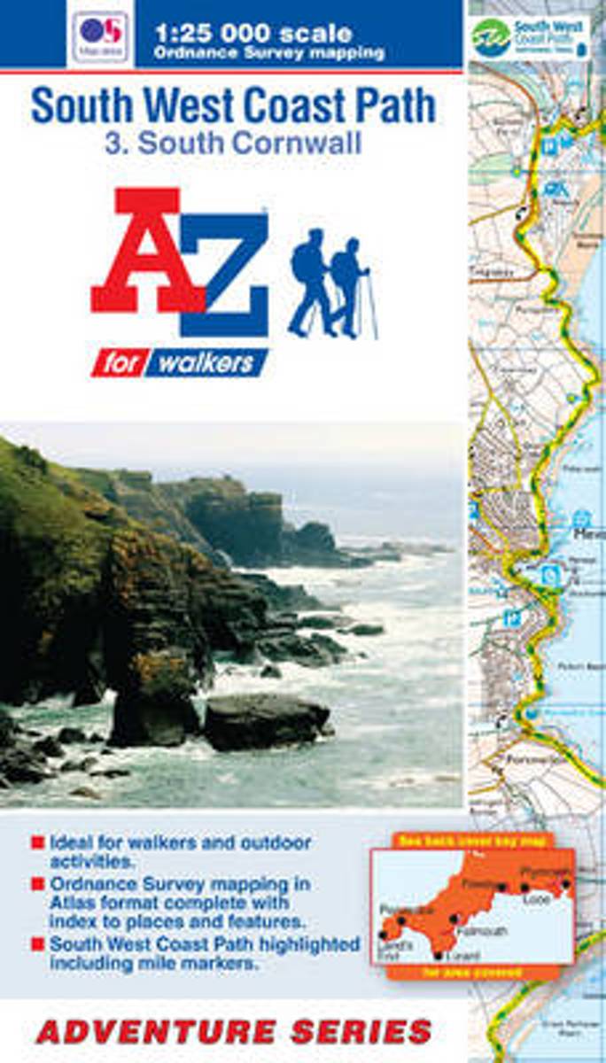
- SW Coast Path South Cornwall Adventure Atlas
- South West Coast Path 3 - South Cornwall Adventure Atlas at 1:25,000 in a series of handy A5 size Adventure Atlases from Geographers' A-Z Map Company with cartography from the Ordnance Survey Leer más
- Also available from:
- Bol.com, Belgium
Bol.com
Belgium
Belgium
- SW Coast Path South Cornwall Adventure Atlas
- South West Coast Path 3 - South Cornwall Adventure Atlas at 1:25,000 in a series of handy A5 size Adventure Atlases from Geographers' A-Z Map Company with cartography from the Ordnance Survey Leer más
De Zwerver
Netherlands
2023
Netherlands
2023

Stanfords
United Kingdom
2017
United Kingdom
2017
- South West Coast Path 4 - South Devon Adventure Atlas
- South West Coast Path 4 - South Devon Adventure at 1:25,000 in a series of handy A5 size Adventure Atlases from Geographers` A-Z Map Company with cartography from the Ordnance Survey’s Explorer series. The guide covers the 210 km / 131 mile section of the SWCP National Trail between Plymouth and Lyme Regis and includes a route planner... Leer más
- Also available from:
- Bol.com, Netherlands
- Bol.com, Belgium

Bol.com
Netherlands
2017
Netherlands
2017
- SW Coast Path South Devon Adventure Atlas
- South West Coast Path 4 - South Devon Adventure at 1:25,000 in a series of handy A5 size Adventure Atlases from Geographers` A-Z Map Company with cartography from the Ordnance Survey’s Explorer series. The guide covers the 210 km / 131 mile section of the SWCP National Trail between Plymouth and Lyme Regis and includes a route planner... Leer más
Bol.com
Belgium
2017
Belgium
2017
- SW Coast Path South Devon Adventure Atlas
- South West Coast Path 4 - South Devon Adventure at 1:25,000 in a series of handy A5 size Adventure Atlases from Geographers` A-Z Map Company with cartography from the Ordnance Survey’s Explorer series. The guide covers the 210 km / 131 mile section of the SWCP National Trail between Plymouth and Lyme Regis and includes a route planner... Leer más

Stanfords
United Kingdom
United Kingdom
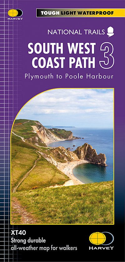
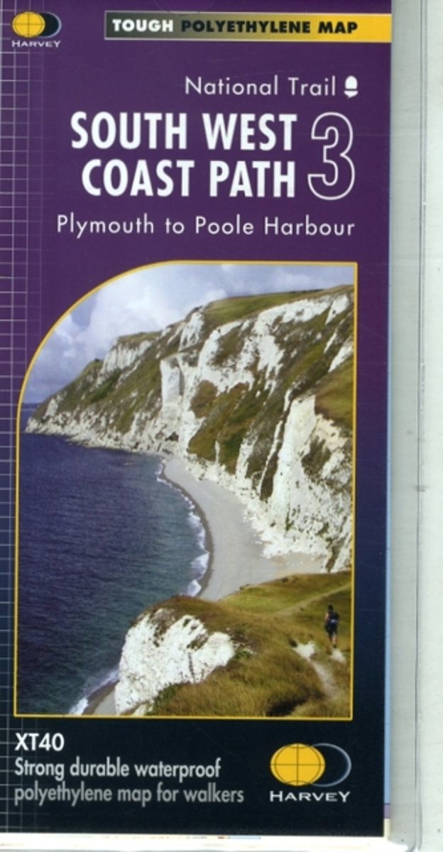
- South West Coast Path 3 - Plymouth to Poole Harbour Harvey National Trail XT40
- The third section of the South West Coast Path National Trail, from Plymouth to Poole Harbour along the southern coast Devon and the coast of Dorset, presented by Harvey Map Services at 1:40,000 on a light, waterproof and tear-resistant map, showing the path on 11 overlapping panels.In this new 2015 edition the whole route from Minehead to... Leer más
- Also available from:
- The Book Depository, United Kingdom
- Bol.com, Netherlands
- Bol.com, Belgium

Bol.com
Netherlands
Netherlands
- South West Coast Path 3 XT40
- The third section of the South West Coast Path National Trail, from Plymouth to Poole Harbour along the southern coast Devon and the coast of Dorset, presented by Harvey Map Services at 1:40,000 on a light, waterproof and tear-resistant map, showing the path on 11 overlapping panels.In this new 2015 edition the whole route from Minehead to... Leer más
Bol.com
Belgium
Belgium
- South West Coast Path 3 XT40
- The third section of the South West Coast Path National Trail, from Plymouth to Poole Harbour along the southern coast Devon and the coast of Dorset, presented by Harvey Map Services at 1:40,000 on a light, waterproof and tear-resistant map, showing the path on 11 overlapping panels.In this new 2015 edition the whole route from Minehead to... Leer más

Stanfords
United Kingdom
2017
United Kingdom
2017
- South West Coast Path 3 - South Cornwall A-Z Adventure Atlas
- South West Coast Path 3 - South Cornwall Adventure Atlas at 1:25,000 in a series of handy A5 size Adventure Atlases from Geographers` A-Z Map Company with cartography from the Ordnance Survey’s Explorer series. The guide covers the 252km / 158 mile section of the SWCP National Trail between Land’s End and Plymouth and includes a route planner... Leer más
- Also available from:
- Bol.com, Netherlands
- Bol.com, Belgium

Bol.com
Netherlands
2017
Netherlands
2017
- SW Coast Path South Cornwall Adventure Atlas
- South West Coast Path 3 - South Cornwall Adventure Atlas at 1:25,000 in a series of handy A5 size Adventure Atlases from Geographers` A-Z Map Company with cartography from the Ordnance Survey’s Explorer series. The guide covers the 252km / 158 mile section of the SWCP National Trail between Land’s End and Plymouth and includes a route planner... Leer más
Bol.com
Belgium
2017
Belgium
2017
- SW Coast Path South Cornwall Adventure Atlas
- South West Coast Path 3 - South Cornwall Adventure Atlas at 1:25,000 in a series of handy A5 size Adventure Atlases from Geographers` A-Z Map Company with cartography from the Ordnance Survey’s Explorer series. The guide covers the 252km / 158 mile section of the SWCP National Trail between Land’s End and Plymouth and includes a route planner... Leer más

Bol.com
Netherlands
Netherlands
- SW Coast Path North Devon & Somerset Adventure Atlas
- South West Coast Path 1 - North Devon & Somerset Adventure Atlas at 1:25,000 in a series of handy A5 size Adventure Atlases from Geographers` A-Z Map Company with cartography from the Ordnance Survey’s Explorer series. The guide covers the 199km / 125 mile section of the SWCP National Trail between Bude and Minehead and includes a route planner... Leer más
- Also available from:
- Bol.com, Belgium
Bol.com
Belgium
Belgium
- SW Coast Path North Devon & Somerset Adventure Atlas
- South West Coast Path 1 - North Devon & Somerset Adventure Atlas at 1:25,000 in a series of handy A5 size Adventure Atlases from Geographers` A-Z Map Company with cartography from the Ordnance Survey’s Explorer series. The guide covers the 199km / 125 mile section of the SWCP National Trail between Bude and Minehead and includes a route planner... Leer más