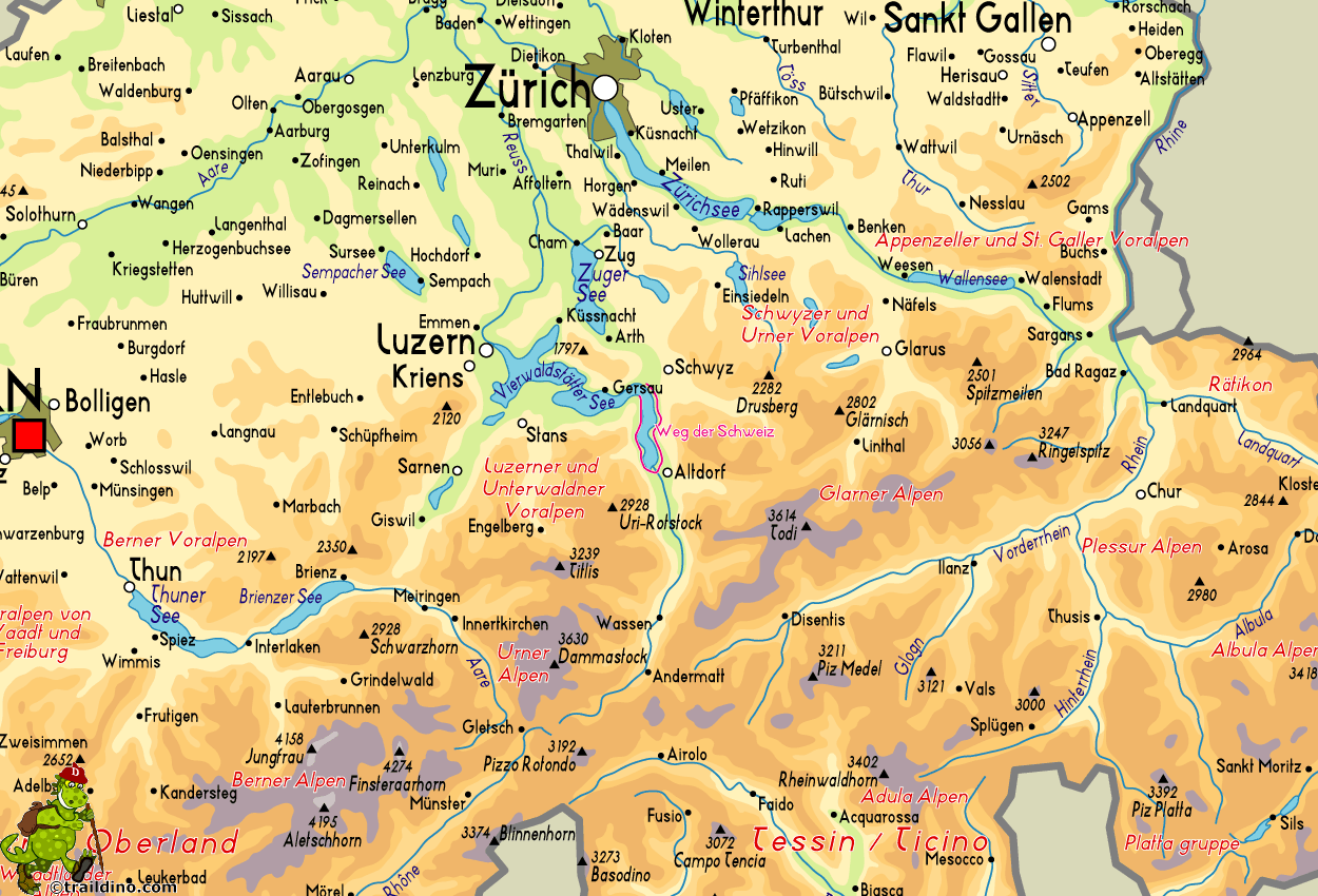
Weg der Schweiz
Descripción
- Name Weg der Schweiz
- Distancia de sendero 34 km, 21 millas
- Duración en días 2 días
- Inicio de sendero Burnnen (Ruetli)
- Fin de sendero Burnnen (Ruetli)
- Clasificación Traildino EW, Paseo fácil, sendero en la naturaleza

99
34 km. Circular tour from Burnnen (Ruetli).
Mapa
Enlaces
Datos
Informes
Guías y mapas
Hospedaje
Organizaciones
Operadores turísticos
GPS
Otro
Mapas

Stanfords
United Kingdom
United Kingdom
- The Swiss Path Swisstopo Hiking 2599T
- The Swiss Path, waymarked to commemorate the 700th anniversary of the Swiss Confederation, presented on an extract from the Swiss topographic survey at 1:25,000 with information on accommodation, restaurants and other places along the route. The 36km path encircles Urnersee, the southernmost spur of Lake Luzerne, between Rütli and Brunnen.... Leer más


