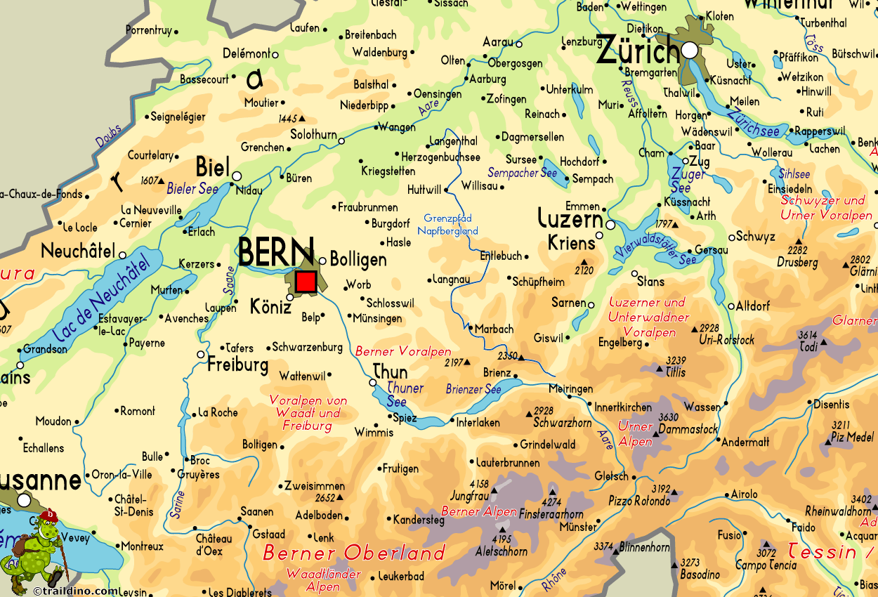
Grenzpfad Napfbergland
Descripción
- Name Grenzpfad Napfbergland
- Distancia de sendero 115 km, 71 millas
- Duración en días 6 días
- Inicio de sendero Langenthal
- Fin de sendero Bruenigpass
- Clasificación Traildino EW, Paseo fácil, sendero en la naturaleza

65
115 km. Langenthal to Bruenigpass.
Select some tracks
☐Grenzpfad Napfbergland, 114km
Mapa
Enlaces
Datos
Informes
Guías y mapas
Hospedaje
Organizaciones
Operadores turísticos
GPS
Otro
Mapas

Stanfords
United Kingdom
United Kingdom
- Haslital: Grindelwald - Engelberg 50K Hallwag Outdoor Map No. 5
- Haslital area, from Grindelwald to Engelberg, at 1:50,000 in a series from Hallwag covering Switzerland’s popular hiking regions on light, waterproof and tear-resistant maps highlighting long-distance paths: the nine national routes plus special regional routes, as well as other local hiking trails.Cartography is similar to that used both in... Leer más


