
GR58 Sendero As Greas
Descripción
- Name GR58 Sendero As Greas (GR58)
- Distancia de sendero 206 km, 128 millas
- Duración en días 10 días
- Clasificación Traildino MW, Caminata moderada, sendero de mochileros
- Clasificación Travesía de refugios T1, Caminata


58
Sendero As Greas, GR58 Sendero As Greas. 206 km, 8 stages. Galicia
Mapa

Enlaces
Datos
Informes
Guías y mapas
Hospedaje
Organizaciones
Operadores turísticos
GPS
Otro
Libros

Stanfords
United Kingdom
2021
United Kingdom
2021
- Tour du Queyras GR58
- Tour du Queyras, FFRP topoguide Ref. No. 505, covering in addition to the tour of this picturesque mountain range several other circular routes within the Parc Régional du Queyras. Current edition of this title was published in July 2015.ABOUT THE FFRP (Fédération française de la randonnée pédestre) TOPOGUIDES: published in a handy A5 paperback... Leer más
- Also available from:
- The Book Depository, United Kingdom

Bol.com
Netherlands
2015
Netherlands
2015
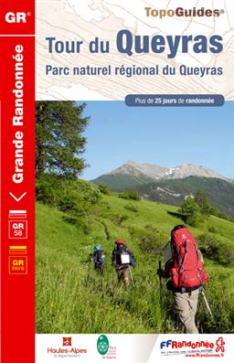
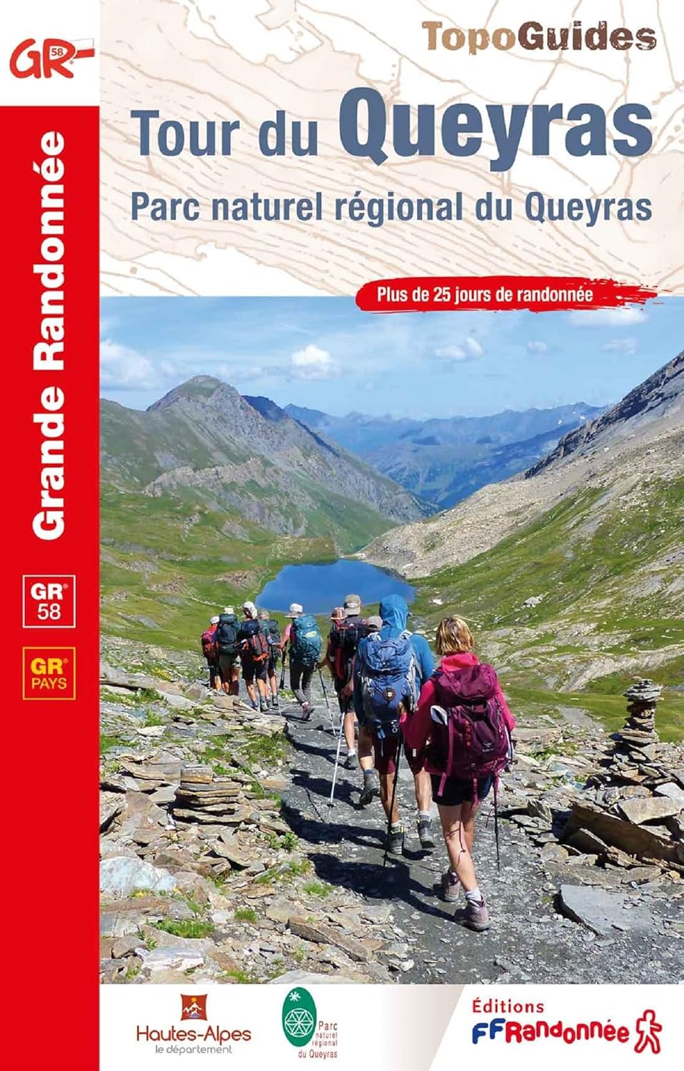
- Tour du Queyras GR58 PNR
- 20 jours à la rencontre des marmottes du Parc naturel du Queyras. Nouvelle édition 2015. En dépit de son altitude élevée (3 114 m au Grand-Queyras, de nombreux cols autour de 2 500 m), ce massif a le charme aimable de la montagne pastorale, avec ses forêts de mélèzes, ses eaux abondantes, ses alpages au pied des barres rocheuses. Ici, point de... Leer más
- Also available from:
- Bol.com, Belgium
Bol.com
Belgium
2015
Belgium
2015
- Tour du Queyras GR58 PNR
- 20 jours à la rencontre des marmottes du Parc naturel du Queyras. Nouvelle édition 2015. En dépit de son altitude élevée (3 114 m au Grand-Queyras, de nombreux cols autour de 2 500 m), ce massif a le charme aimable de la montagne pastorale, avec ses forêts de mélèzes, ses eaux abondantes, ses alpages au pied des barres rocheuses. Ici, point de... Leer más
Bol.com
Netherlands
2009
Netherlands
2009
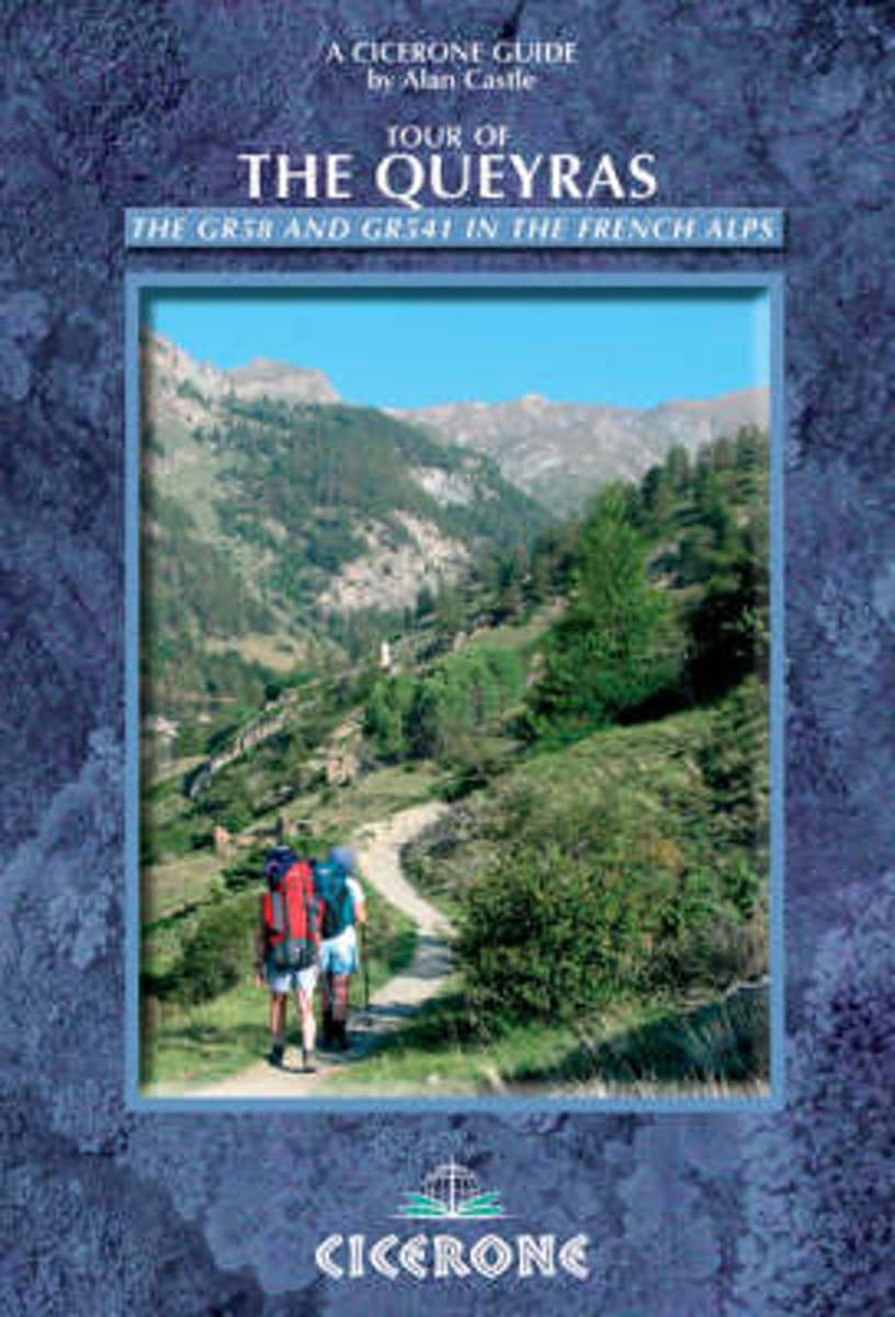
- Tour of the Queyras
- A guide to a backpacking tour of the Queyras region of the Haute Alps on the border between Italy and France, following the GR58 and GR541 trails. The route includes the highest point reached on any grand randon e with 24 cols above 2000m and options to climb up to 17 summits, five above 3000m. The Queyras is a dramatic, unspoilt region in the... Leer más
- Also available from:
- Bol.com, Belgium
Bol.com
Belgium
2009
Belgium
2009
- Tour of the Queyras
- A guide to a backpacking tour of the Queyras region of the Haute Alps on the border between Italy and France, following the GR58 and GR541 trails. The route includes the highest point reached on any grand randon e with 24 cols above 2000m and options to climb up to 17 summits, five above 3000m. The Queyras is a dramatic, unspoilt region in the... Leer más
De Zwerver
Netherlands
2024
Netherlands
2024