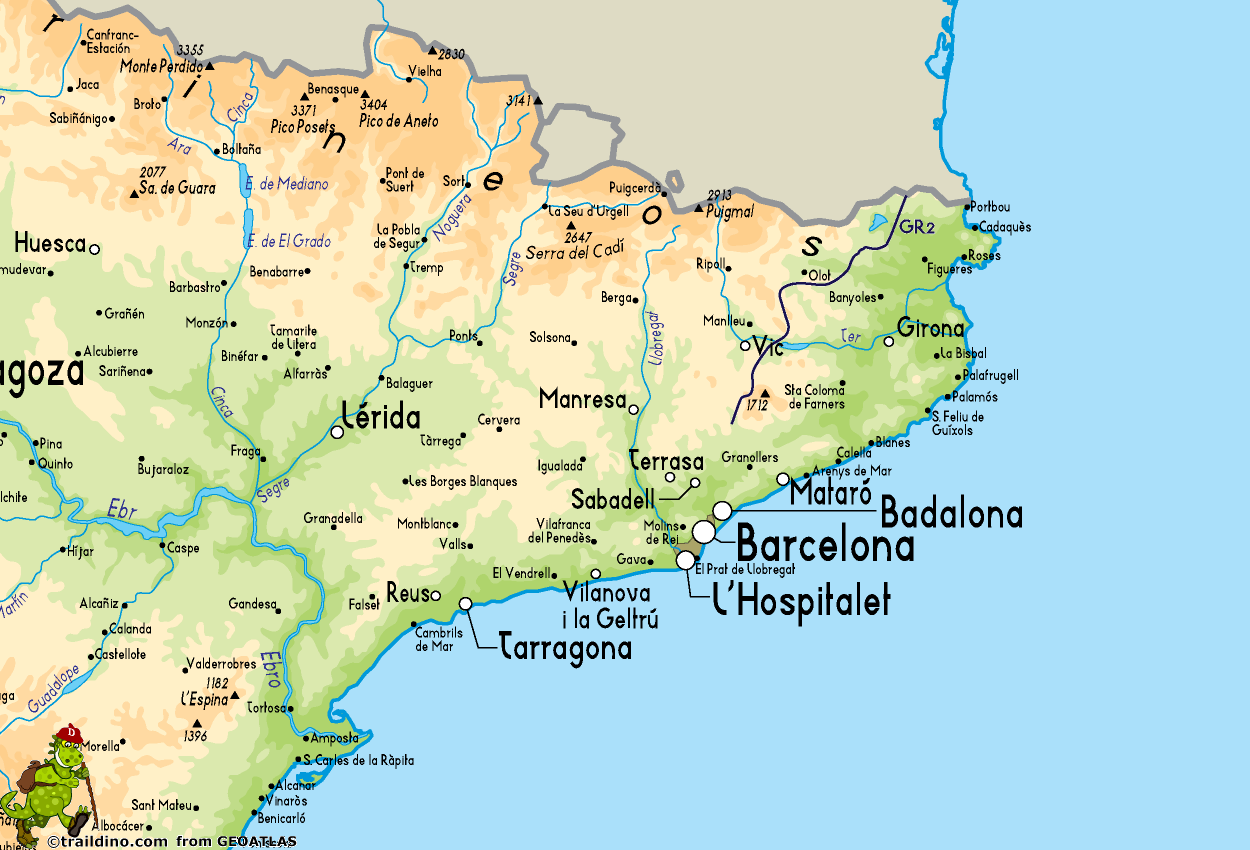
GR2 La Jonquera - Aiguafreda
Descripción
- Name GR2 La Jonquera - Aiguafreda (GR2)
- Distancia de sendero 166 km, 103 millas
- Duración en días 9 días
- Inicio de sendero La Jonquera
- Fin de sendero Aiguafreda
- Clasificación Traildino MW, Caminata moderada, sendero de mochileros
- Clasificación Travesía de refugios T1, Caminata


2
La Jonquera - Aiguafreda, GR 2. 166 km, 6 stages. Catalunya.
Select some tracks
☐GR 2 La Jonquera - Sant Adrià del Besós, 217km
☐GR 2 La Seine de la source à la mer, 0.7km
☐De Saint-Martin-de-Boscherville à Caudebec-en-Caux, 18km
☐GR 2 de Tourville-la-Rivière à La Bouille, 5km
☐Accès GR 2, 5.6km
☐2 diverticule, 4.7km
☐GruBrìa Anello GR2 Seregno Lissone, 13km
☐Eijsden-Margraten Gr2 D'n Driej, 8km
☐GR 2.1 La Jonquera - Sant Adrià del Besós. Variant Rupit, 16km
☐Accès GR 2, 2.9km
☐Accès GR 2, 5.1km
☐(no name), 18km
☐(no name), 37km
☐(no name), 94km
☐(no name), 31km
☐(no name), 234km
☐(no name), 85km
☐(no name), 11km
☐(no name), 323km
☐(no name), 30km
☐(no name), 7.8km
☐GR 2 – Inter Municipal – Arcos de Valdevez Norte, 77km
☐Au fil de la Seine, variante Montivilliers - Harfleur, 6km
Mapa
Enlaces
Datos
Informes
Guías y mapas
Hospedaje
Organizaciones
Operadores turísticos
GPS
Otro
Libros

Stanfords
United Kingdom
2015
United Kingdom
2015
- GR2: La Seine à pied en Ile de France FFRP Topo-guide No. 203
- More than 10 days of hiking following the course of the Seine between Montereau (77) and Vernon (27).La Seine à pied en Ile de France, FFRP topoguide Ref. no. 203, covering a 262kms route along the GR2 from Monterau-Fault-Yonne to Vernon following the Seine, including in the suburbs of Paris and across the capital, with variants on both sides... Leer más
Mapas

Stanfords
United Kingdom
United Kingdom
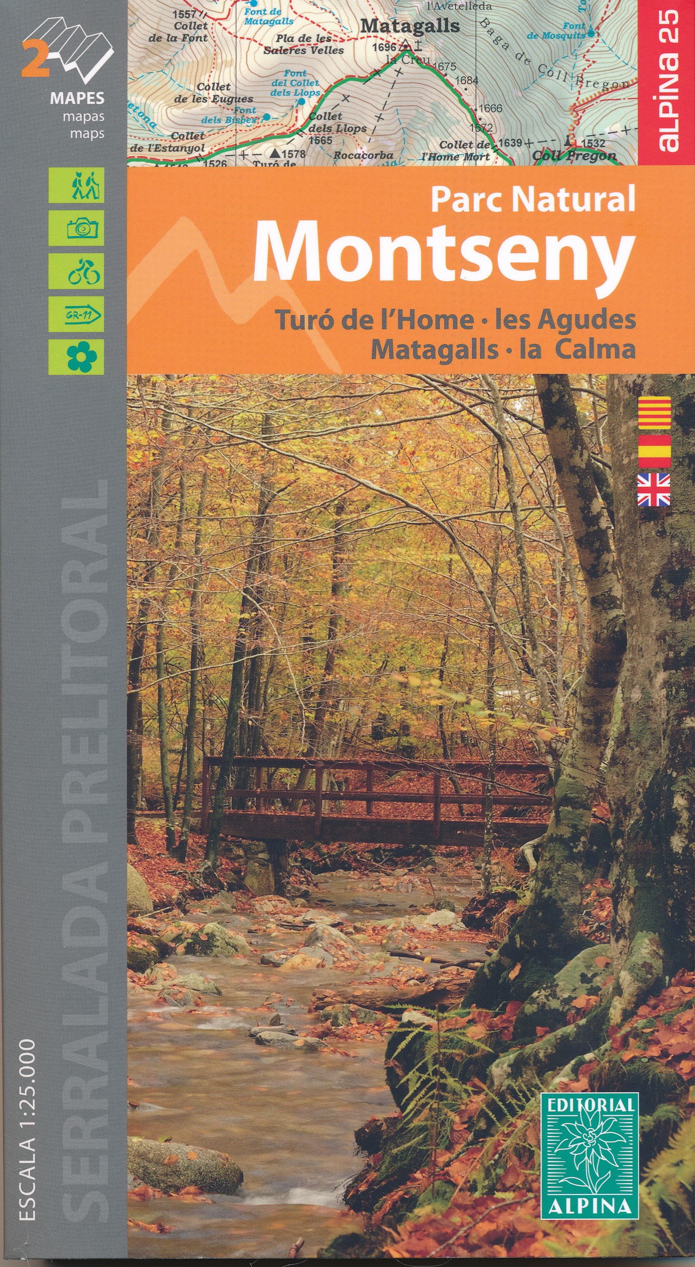
- Montseny NP - Turo de l`Home - Les Agudas - Matagalls - la Calma Editorial Alpina 2-Map Set
- Montseny in an extensive and very popular series of walking maps from Editorial Alpina covering the Pyrenees, Catalonia and other selected hiking areas in Spain, including Picos de Europa, Sierra Nevada and parts of Andalucía, Majorca, etc. Scales vary from 1:50,000 to 1:10,000, with the majority of the titles at 1:25,000. The maps have... Leer más
- Also available from:
- De Zwerver, Netherlands

De Zwerver
Netherlands
Netherlands
- Wandelkaart 55 Montseny Parc Natural | Editorial Alpina
- Montseny in an extensive and very popular series of walking maps from Editorial Alpina covering the Pyrenees, Catalonia and other selected hiking areas in Spain, including Picos de Europa, Sierra Nevada and parts of Andalucía, Majorca, etc. Scales vary from 1:50,000 to 1:10,000, with the majority of the titles at 1:25,000. The maps have... Leer más


