
Cantabria
Descripción
Autonomous region in the north of Spain, bordering the Bay of Biscay.
Senderos en estado
Enlaces
Datos
Informes
Guías y mapas
Hospedaje
Organizaciones
Operadores turísticos
GPS
Otro
Libros

The Book Depository
United Kingdom
2019
United Kingdom
2019
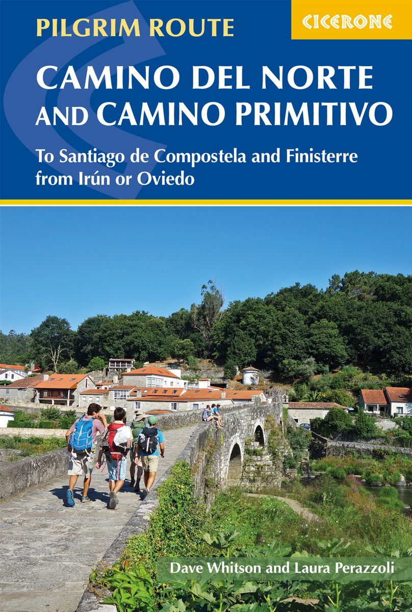
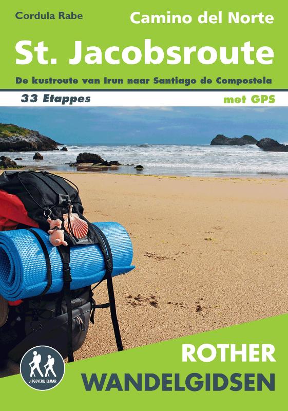
- The Camino del Norte and Camino Primitivo
- To Santiago de Compostela and Finisterre from Irun or Oviedo Leer más
- Also available from:
- De Zwerver, Netherlands
De Zwerver
Netherlands
2019
Netherlands
2019
- Wandelgids - Pelgrimsroute The Camino del Norte and Camino Primitivo | Cicerone
- Guidebook to walking the Camino del Norte and Camino Primitivo pilgrim routes to Santiago de Compostela in northwest Spain. The 817km Camino del Norte from Irún via Bilbao and Santander takes around 5 weeks to complete. The 355km Camino Primitivo takes about 2 weeks. Includes the Camino Finisterre from Santiago to the coast. Leer más


The Book Depository
United Kingdom
United Kingdom

The Book Depository
United Kingdom
United Kingdom


The Book Depository
United Kingdom
United Kingdom

Stanfords
United Kingdom
United Kingdom
- Purbeck & South Dorset - Poole, Dorchester - Weymouth & Swanage OS Explorer Active Map OL15 (waterproof)
- Purbeck and the southern part of Dorset on a detailed topographic and GPS compatible map OL15, waterproof version, from the Ordnance Survey’s 1:25,000 Explorer series. Coverage extends from Poole and Swanage in the east to Bridport in the west, and includes Dorchester, Tolpuddle, Bere Regis, Wareham, Weymouth, Chesil Beach, Portland Bill, the... Leer más
- Also available from:
- The Book Depository, United Kingdom

The Book Depository
United Kingdom
United Kingdom

The Book Depository
United Kingdom
United Kingdom
- 400 Kilometer rückwärts auf dem Camino del Norte
- Allein & off-season von Ribadeo nach Bilbao Leer más


The Book Depository
United Kingdom
2023
United Kingdom
2023
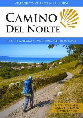
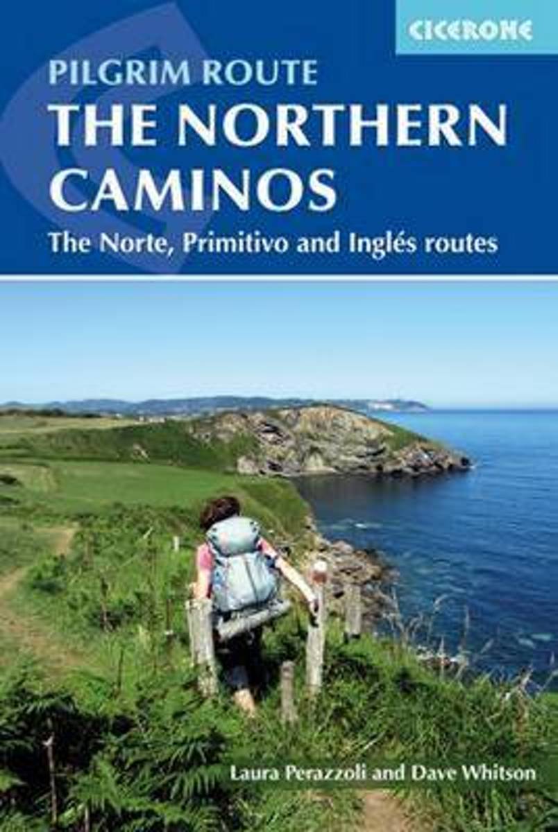
- Camino del Norte
- Irun to Santiago along Spain's Northern Coast Leer más
- Also available from:
- De Zwerver, Netherlands
De Zwerver
Netherlands
2023
Netherlands
2023
- Wandelgids Camino Del Norte | Village to Village Press
- Irun to Santiago along Spain's Northern Coast Leer más
Bol.com
Netherlands
Netherlands
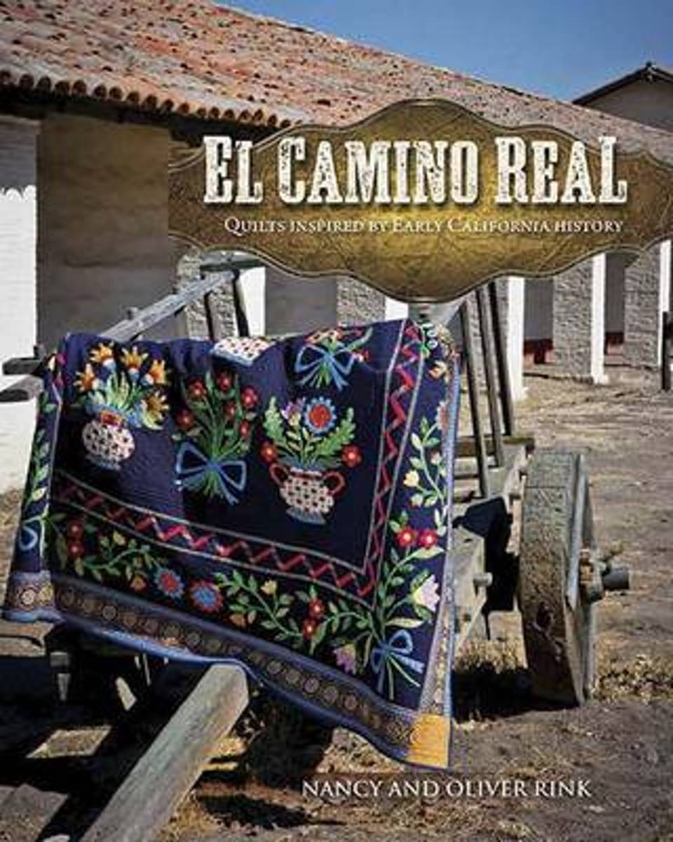
- El Camino Real
- The Franciscan missions along the El Camino Real (King's Highway) in California have endured over the centuries, lending their architectural aesthetic to a California style that is eclectic and unique. This mixture of Old World and New World, of Spanish/Mexican and Native American culture was the inspiration for the fabric and quilts in Nancy... Leer más
- Also available from:
- Bol.com, Belgium
Bol.com
Belgium
Belgium
- El Camino Real
- The Franciscan missions along the El Camino Real (King's Highway) in California have endured over the centuries, lending their architectural aesthetic to a California style that is eclectic and unique. This mixture of Old World and New World, of Spanish/Mexican and Native American culture was the inspiration for the fabric and quilts in Nancy... Leer más
Bol.com
Netherlands
2018
Netherlands
2018
- The Rough Guide to Spain
- Discover Spain with the most incisive and entertaining guidebook on the market. Whether you plan on exploring Andalucia's White Towns, sampling the legendary nightlife of Madrid or hiking in the Picos de Euuropa, this new edition of The Rough Guide to Spain will show you the ideal places to sleep, eat, drink, shop and visit along the way.... Leer más
- Also available from:
- Bol.com, Belgium
Bol.com
Belgium
2018
Belgium
2018
- The Rough Guide to Spain
- Discover Spain with the most incisive and entertaining guidebook on the market. Whether you plan on exploring Andalucia's White Towns, sampling the legendary nightlife of Madrid or hiking in the Picos de Euuropa, this new edition of The Rough Guide to Spain will show you the ideal places to sleep, eat, drink, shop and visit along the way.... Leer más
Bol.com
Netherlands
2015
Netherlands
2015
- The northern caminos
- This guidebook is a comprehensive, pocket-sized guide to walking the pilgrimage routes through northern Spain to the sacred city of Santiago de Compostela. The Camino del Norte is an 817km five-week coastal route from the town of Irún, close to the French border. Its alternatives are the Camino Primitivo (which splits from the Norte near Oviedo... Leer más
- Also available from:
- Bol.com, Belgium
Bol.com
Belgium
2015
Belgium
2015
- The northern caminos
- This guidebook is a comprehensive, pocket-sized guide to walking the pilgrimage routes through northern Spain to the sacred city of Santiago de Compostela. The Camino del Norte is an 817km five-week coastal route from the town of Irún, close to the French border. Its alternatives are the Camino Primitivo (which splits from the Norte near Oviedo... Leer más
Mapas

Stanfords
United Kingdom
United Kingdom
- Cantabria Autonomous Community CNIG Physical Road Map
- Cantabria Autonomous Region of Spain at 1:200,000 in a series of physical road maps from IGN/CNIG - the country’s civilian survey organization, with an excellent presentation of the topography through relief shading and altitude colouring, plenty of names of mountain ranges, peaks, etcRelief shading is enhanced by bright altitude colouring,... Leer más
Bol.com
Netherlands
Netherlands
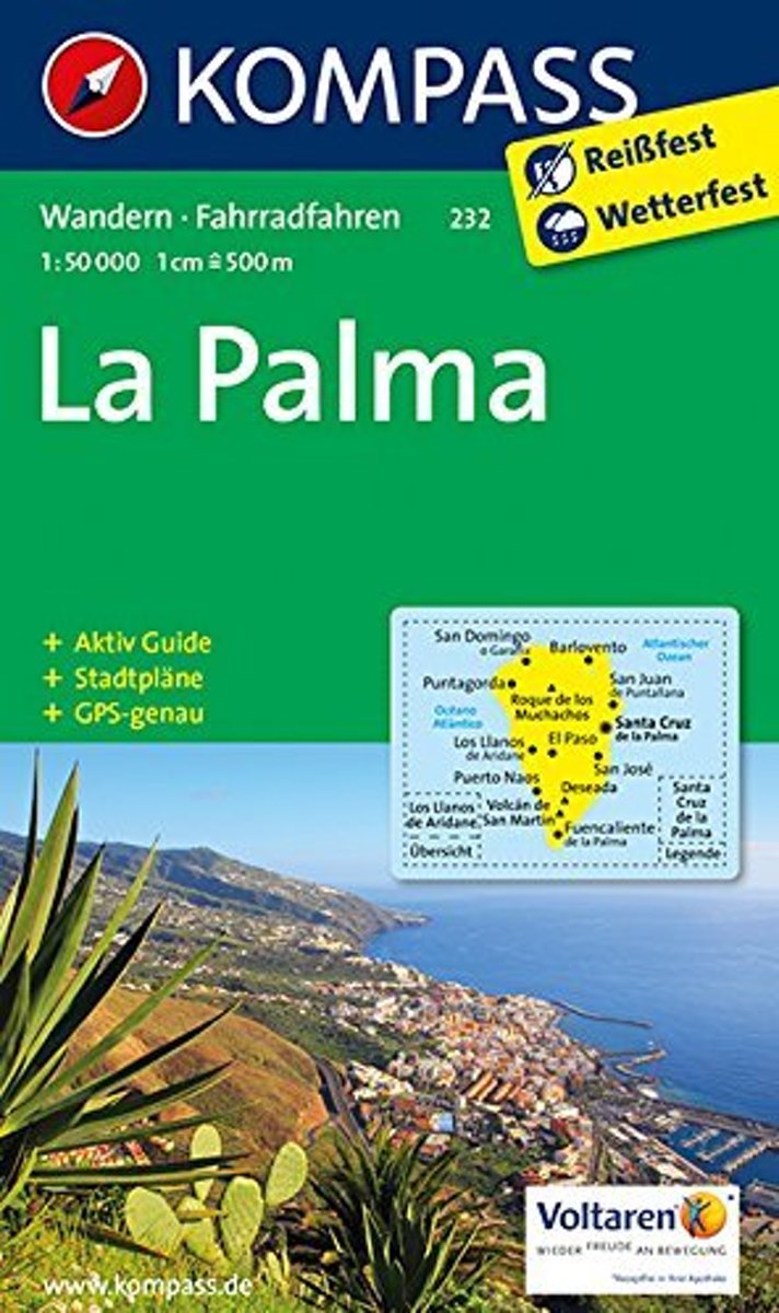
- Kompass WK232 La Palma
- Toeristische kaart voor wandelen, fietsen en vrije tijd met activiteitengids en stadsplattegronden • goed leesbare schaal van 1:50 000 • te gebruiken met GPS • met praktische informatie over de regio • wandel- en fietspaden • aanbevolen routes • kastelen • uitzichtpunten • stranden en baaien • toeristische informatie • veel topografische... Leer más
- Also available from:
- Bol.com, Belgium
Bol.com
Belgium
Belgium
- Kompass WK232 La Palma
- Toeristische kaart voor wandelen, fietsen en vrije tijd met activiteitengids en stadsplattegronden • goed leesbare schaal van 1:50 000 • te gebruiken met GPS • met praktische informatie over de regio • wandel- en fietspaden • aanbevolen routes • kastelen • uitzichtpunten • stranden en baaien • toeristische informatie • veel topografische... Leer más
De Zwerver
Netherlands
2017
Netherlands
2017
De Zwerver
Netherlands
Netherlands
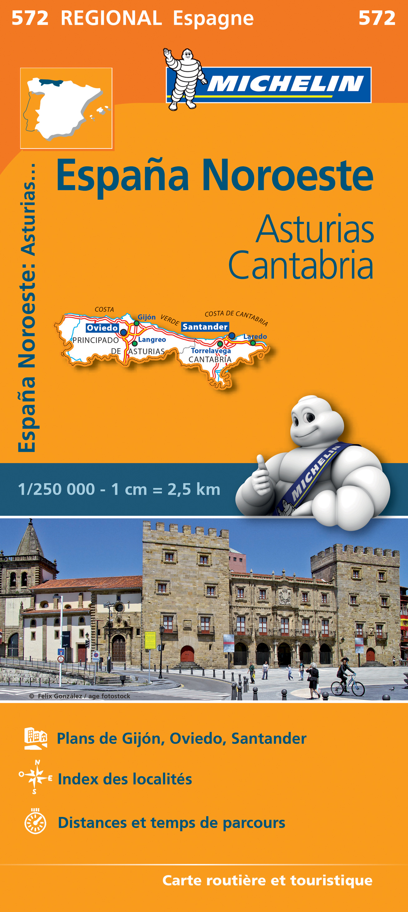
- Wegenkaart - landkaart 572 Asturias - Cantabria - Oviedo - Santander | Michelin
- Une carte fiable pour parcourir les régions d'Europe Leer más

Stanfords
United Kingdom
2018
United Kingdom
2018
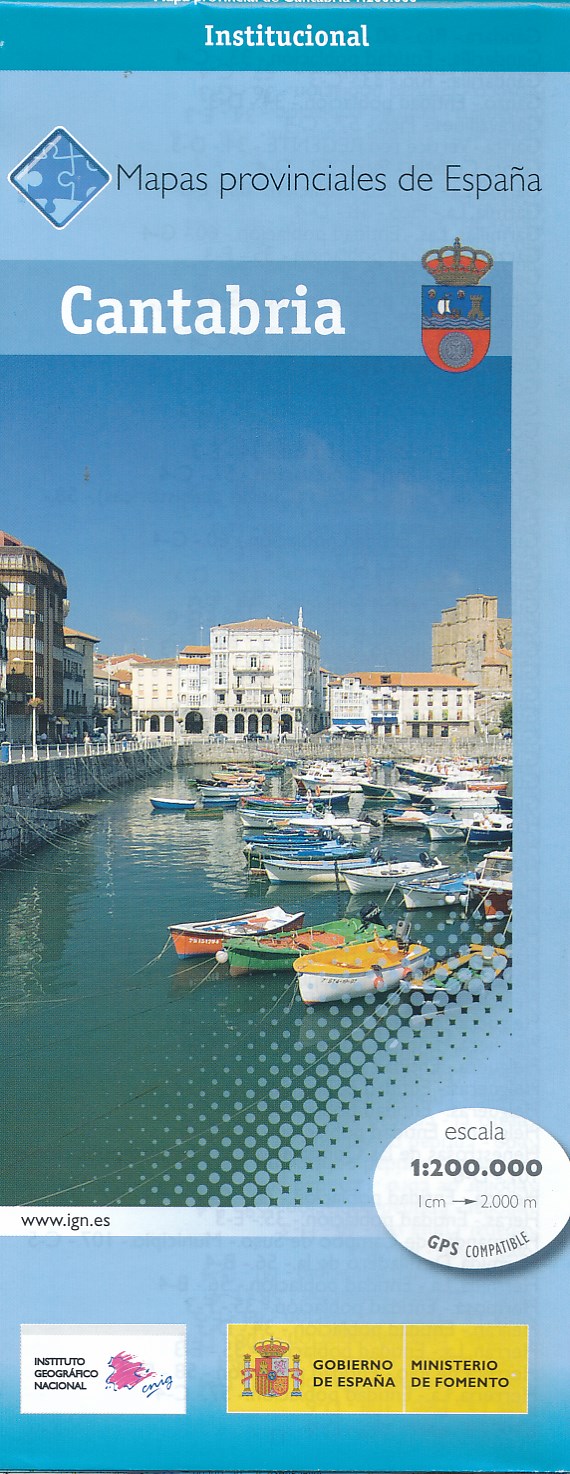
- Cantabria Province 200K CNIG Map No. 13
- Contoured, GPS-compatible, indexed road map at 1:200,000 from CNIG - Spain’s civilian survey organization, with exceptionally informative presentation of the landscape and highlighting for facilities and places of interest including campsites and paradors.Maps in CNIG’s 200K Provincial Series provide an excellent picture the topography through... Leer más
- Also available from:
- De Zwerver, Netherlands
De Zwerver
Netherlands
2018
Netherlands
2018
- Wegenkaart - landkaart Mapa Provincial Cantabria | CNIG - Instituto Geográfico Nacional
- Contoured, GPS-compatible, indexed road map at 1:200,000 from CNIG - Spain’s civilian survey organization, with exceptionally informative presentation of the landscape and highlighting for facilities and places of interest including campsites and paradors.Maps in CNIG’s 200K Provincial Series provide an excellent picture the topography through... Leer más