
Majorca, Baleares
Descripción

The largest of the Islas Baleares, Majorca - or Mallorca - is a popular holiday destination thanks to its beaches and climate. Much of the island is pretty flat, with larges settlements along its coastline and farmland in its centre.
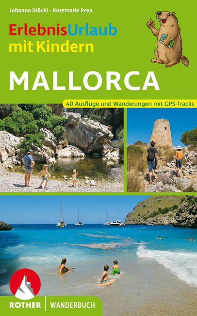
The northern part of Mallorca is mountainous: Serra de Tramuntana. Here most of the hiking trails can be found. The mountain ridges seem to roll out of the centre of the island, like waves tipping over towards the sea, the white crests sticking out of the forests. Main trail on the island is the GR221, traversing the Serra de Tramuntana. The other trail is the GR222 crossing the island from east to west. Both trails are still under construction, but the itineraries are set out. Refuges - both private and municipal - can be found along these trails. Many shorter hiking trails on the island are marked.
Check the list of Balearic Islands.
Mapa

Senderos en región
Enlaces
Datos
Informes
Guías y mapas
Hospedaje
Organizaciones
Operadores turísticos
GPS
Otro
Libros

United Kingdom
- Cabrera and the Adjoining Islands National Park CNIG Map-Guide SPANISH
- Cabrera and the small islands between it and Mallorca which together constitute PN Marítimo-Terrestre del Archipiélago de Cabrera at 1:25,000 on a contoured and GPS compatible map from IGN/CNIG with cartography from their topographic survey of Spain. The map is surrounded by eight panels with satellite imagery of various parts of Cabrera... Leer más

United Kingdom
- Mallorca 4-Map Set Kompass 2230
- Mallorca on a set of four double-sided, contoured and GPS compatible maps at 1:35,000 from Kompass with exceptionally detailed presentation of the topography, extensive overprint for hiking trails and cycling routes, accommodation and places of interest, etc, plus street plans of central Palma de Mallorca, Platja de Palma, Sóller, Alcúdia/Port... Leer más

United Kingdom
2018
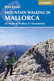
- Mountain Walking in Mallorca: 50 routes in Mallorca`s Tramuntana
- This guide describes 50 full and half-day walks in Mallorca`s mountainous northwest, in the stunning Serra de Tramuntana. Whilst the region promises breathtaking scenery and some fantastic walks, there is also some potentially challenging terrain, making guidance when choosing, planning and walking routes all the more valuable. Ranging from... Leer más
- Also available from:
- The Book Depository, United Kingdom
- De Zwerver, Netherlands

United Kingdom
2018
- Mountain Walking in Mallorca
- 50 routes in Mallorca's Tramuntana Leer más
Netherlands
2018
- Wandelgids Mountain Walking in Mallorca | Cicerone
- Guidebook describing 50 full and half-day walks in Mallorca's mountainous northwest. Ranging from 5.5km to 24km, the routes showcase the outstanding natural beauty and mountain heritage of the Serra de Tramuntana. Potential bases include Pollença, Sóller, Valldemossa and Andratx, and most walks are accessible by public transport. Leer más

United Kingdom
2022
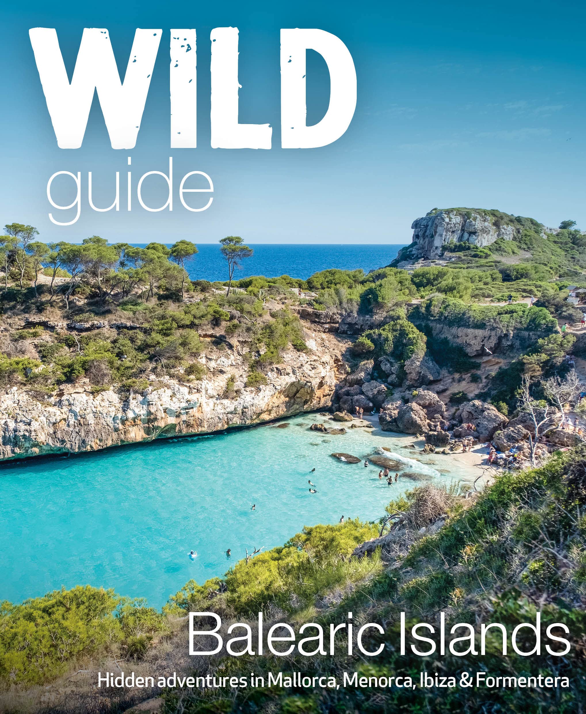
- Wild Guide Balearic Islands
- Secret coves, mountains, caves and adventure in Mallorca, Menorca, Ibiza & Formentera Leer más
- Also available from:
- De Zwerver, Netherlands
Netherlands
2022
- Reisgids Wild Guide Balearic Islands | Wild Things Publishing
- Secret coves, mountains, caves and adventure in Mallorca, Menorca, Ibiza & Formentera Leer más

United Kingdom
2022
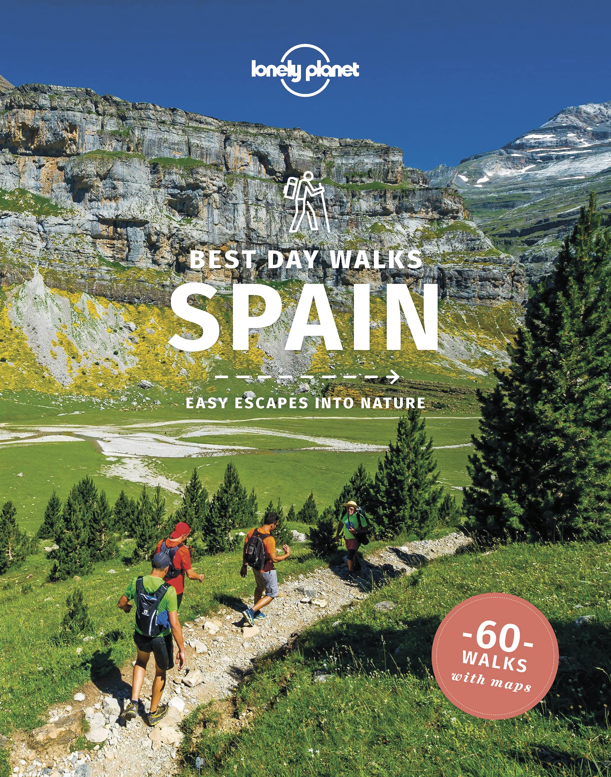
- Lonely Planet Best Day Walks Spain
- Lonely Planet`s Best Day Walks Spain is your passport to 60 easy escapes into nature. Stretch your legs away from the city by picking a walk that works for you, from just a couple of hours to a full day, from easy to hard. Marvel at the Pyrenees, hike along the Mediterranean coast, and experience island walks in Mallorca. Inside Lonely... Leer más
- Also available from:
- De Zwerver, Netherlands
Netherlands
2022
- Wandelgids Best Day Walks Spain - Spanje | Lonely Planet
- Lonely Planet`s Best Day Walks Spain is your passport to 60 easy escapes into nature. Stretch your legs away from the city by picking a walk that works for you, from just a couple of hours to a full day, from easy to hard. Marvel at the Pyrenees, hike along the Mediterranean coast, and experience island walks in Mallorca. Inside Lonely... Leer más


United Kingdom
2009
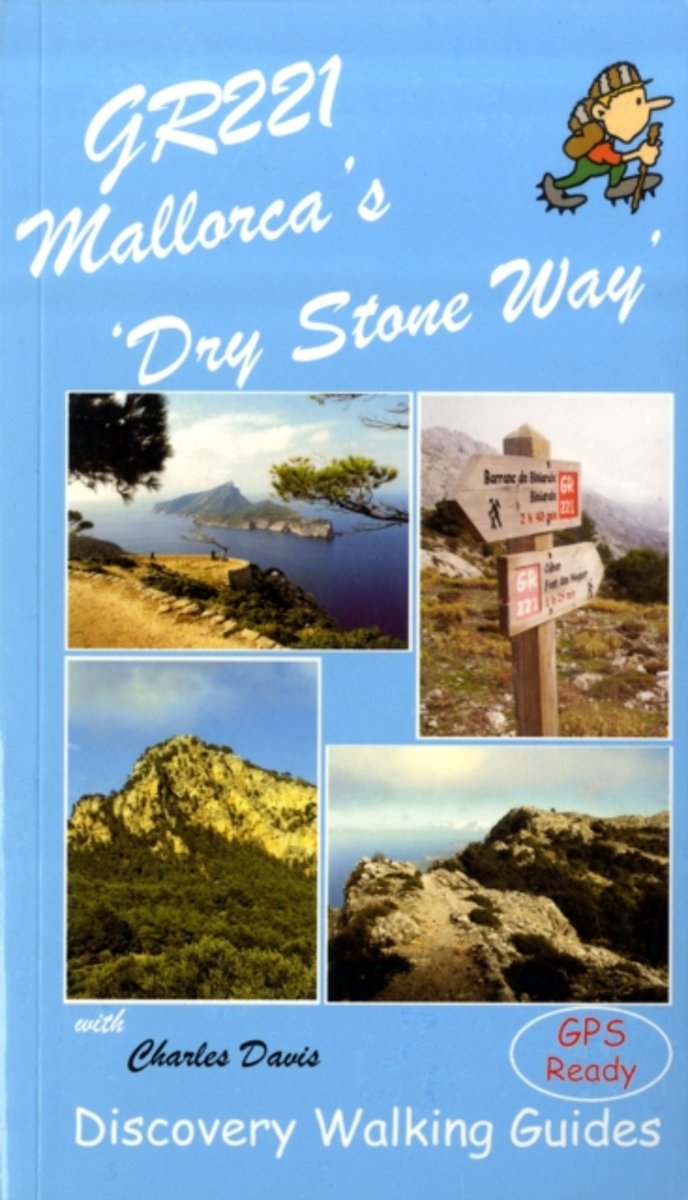
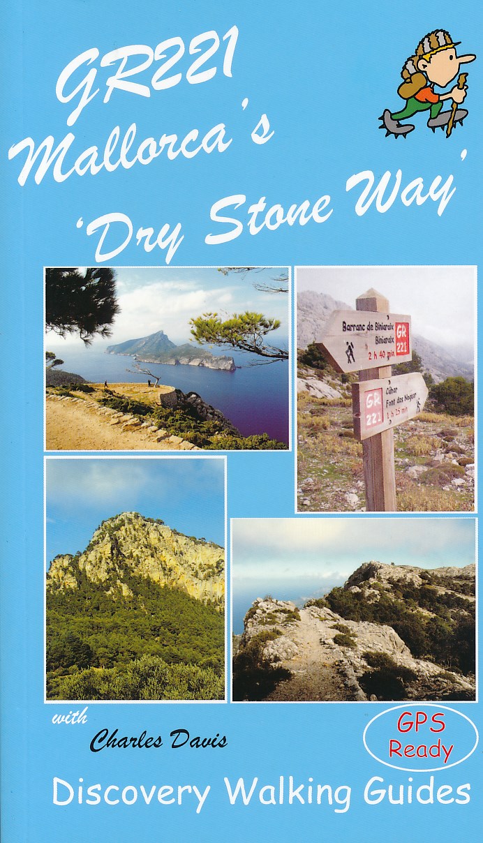
- GR221 Mallorca`s `Dry Stone Way`
- “GR221 Mallorca’s ‘Dry Stone Way’ ” is Charles Davis’ Discovery Walking Guide to a walk that covers 115 kilometres including the Tramuntana range, the forest of Holm Oak and more.The guide describes the trail in eight stages, with GPS waymarked walking points; an extensive introduction provides information on the route itself, when to go, flora... Leer más
- Also available from:
- The Book Depository, United Kingdom
- Bol.com, Netherlands
- Bol.com, Belgium
- De Zwerver, Netherlands

United Kingdom
2009
- GR221 Mallorca's Long Distance Walking Route
- Gedetailleerde beschrijving van de GR 221 op Mallorca, met veel praktische informatie, hoogteprofielen, goed kaartmateriaal etc. Achterin ook nog eens veel GPS - waypoints. Bijna onmisbaar bij het lopen van de route! Walk! GR221 Mallorca's Long Distance Trail - The Dry Stone Way. If you want to get away from it all , there is no surer way... Leer más
Netherlands
2009
- GR221 Mallorca's Long Distance Walking Route
- Walk! GR221 Mallorca's Long Distance Trail - The Dry Stone Way. If you want to get away from it all , there is no surer way than strapping on your boots, shouldering your backpack, and embarking on a long distance path; and there are few long distance paths more beguiling and more crammed with adventure than Mallorca s GR221, La Ruta de Pedra... Leer más
Belgium
2009
- GR221 Mallorca's Long Distance Walking Route
- Walk! GR221 Mallorca's Long Distance Trail - The Dry Stone Way. If you want to get away from it all , there is no surer way than strapping on your boots, shouldering your backpack, and embarking on a long distance path; and there are few long distance paths more beguiling and more crammed with adventure than Mallorca s GR221, La Ruta de Pedra... Leer más
Netherlands
2009
- Wandelgids GR221 Mallorca's Long Distance Trail | Discovery Walking Guides
- Gedetailleerde beschrijving van de GR 221 op Mallorca, met veel praktische informatie, hoogteprofielen, goed kaartmateriaal etc. Achterin ook nog eens veel GPS - waypoints. Bijna onmisbaar bij het lopen van de route! Walk! GR221 Mallorca's Long Distance Trail - The Dry Stone Way. If you want to get away from it all , there is no surer way... Leer más
Netherlands
2021
Netherlands
2019
- Wandelgids Mallorca GR221 | Conrad Stein Verlag
- Handzaam boekje met de routebeschrijving inclusief een heleboel praktische informatie. De beschrijving is uitstekend, maar kaarten zijn beperkt en schetsmatig aanwezig. Duits. Auch auf Mallorca findet man noch unberührte Natur und abgeschiedene Wege: z. B. in der Serra de Tramuntana (Serra del Norte), dem Gebirge im Westen der Insel. Auf der... Leer más
Netherlands
- Goats from a Small Island
- Life on the small island of Mallorca is entertaining and fascinating for Anna Nicholas, who moved her family to a rural mountain setting for a more ma ana existence. But it's never simple.She pursues her dream of opening a cattery, is devastated by the abduction of her beloved toad, and becomes fixated with Myotragus, the extinct goat that... Leer más
- Also available from:
- Bol.com, Belgium
Belgium
- Goats from a Small Island
- Life on the small island of Mallorca is entertaining and fascinating for Anna Nicholas, who moved her family to a rural mountain setting for a more ma ana existence. But it's never simple.She pursues her dream of opening a cattery, is devastated by the abduction of her beloved toad, and becomes fixated with Myotragus, the extinct goat that... Leer más
Netherlands
2020
Netherlands
- Von Calzada de Béjar nach Puebla de Sanabria
- Zugegeben: Wie bei vielen Pilgerschwestern und -brüdern fing die Inspiration auch bei mir mit Hape Kerkeling an. Sein Buch kam zum richtigen Zeitpunkt. Als ich es verschlungen hatte, wurde mir klar, dass auch ich bald mal weg auf dem Camino sein würde. Schon seit Monaten suchte ich beharrlich nach einem Weg aus der Krise. Der Jakobsweg hat mir... Leer más
- Also available from:
- Bol.com, Belgium
Belgium
- Von Calzada de Béjar nach Puebla de Sanabria
- Zugegeben: Wie bei vielen Pilgerschwestern und -brüdern fing die Inspiration auch bei mir mit Hape Kerkeling an. Sein Buch kam zum richtigen Zeitpunkt. Als ich es verschlungen hatte, wurde mir klar, dass auch ich bald mal weg auf dem Camino sein würde. Schon seit Monaten suchte ich beharrlich nach einem Weg aus der Krise. Der Jakobsweg hat mir... Leer más
Mapas

United Kingdom
- Macanor CNIG Topo 700
- Topographic coverage of the Balearic Islands at 1:50,000 in the MTN50 (Mapa Topográfico Nacional) series from the Instituto Geográfico Nacional – Centro Nacional de Información Geografica, the country’s civilian survey organization. The maps have contours at 20m intervals, enhanced by relief shading, plus colouring and/or graphics to show... Leer más

United Kingdom
- Landscapes along the River Ter Ed. Alpina 40K Map
- Landscapes along the River Ter map in an extensive and very popular series of walking maps from Editorial Alpina covering the Pyrenees, Catalonia and other selected hiking areas in Spain, including Picos de Europa, Sierra Nevada and parts of Andalucía, Majorca, etc. Scales vary from 1:50,000 to 1:10,000, with the majority of the titles at... Leer más

United Kingdom
- Sant Llorenc del Munt i l`Obac Editorial Alpina
- Sant Llorenç del Munt i l`Obac area at 1:25,000 in an extensive and very popular series of walking maps from Editorial Alpina. Contours are at 10m intervals, enhanced by relief shading and vegetation colouring. The map has UTM grid and 1’ margin ticks. In addition to footpaths, the overprint shows various types of accommodation (hotels,... Leer más

United Kingdom
- IT4 Sardinia West
- Passage ChartsC0 Mallorca to Sicily 1:1,750,000C1 Sardinia 1:650,000C2 Sardinia North 1:350,000C3 Sardinia Southwest 1:350,000C22 Mediterranean Sea 1:6,000,000Coastal ChartsC4 Golfo dell` Asinara 1:150,000C5 Capo dell` Argentiera to Capo Mannu 1:150,000C6 Capo Mannu to Pta.Nai . Oristano 1:150,000C7 Pta.Nai to Capo Spartivento 1:150,000C8 Capo... Leer más

United Kingdom
- Porreres 25K Mallorca CNIG Topographic Survey Map No. 699-IV
- Topographic coverage of the Balearic Islands at 1:25,000 published by the Instituto Geográfico Nacional – Centro Nacional de Información Geografica, the country’s civilian survey organization. The maps have contours at 10m intervals and colouring and/or graphics to show different types of vegetation or land use. Boundaries of national parks and... Leer más
United Kingdom
- Esporles CNIG Topographic Map 670-9
- Topographic coverage of the Balearic Islands at 1:25,000 published by the Instituto Geográfico Nacional – Centro Nacional de Información Geografica, the country’s civilian survey organization. The maps have contours at 10m intervals and colouring and/or graphics to show different types of vegetation or land use. Boundaries of national parks and... Leer más
United Kingdom
- Sa Calobra CNIG Topo 643
- Topographic coverage of the Balearic Islands at 1:50,000 in the MTN50 (Mapa Topográfico Nacional) series from the Instituto Geográfico Nacional – Centro Nacional de Información Geografica, the country’s civilian survey organization. The maps have contours at 20m intervals, enhanced by relief shading, plus colouring and/or graphics to show... Leer más
United Kingdom
- Vall de Barravés - Ribagorça Editorial Alpina
- Val de Barravés - Ribagorça at 1:25,000 in an extensive and very popular series of walking maps from Editorial Alpina covering the Pyrenees, Catalonia and other selected hiking areas in Spain, including Picos de Europa, Sierra Nevada and parts of Andalucía, Majorca, etc.Scales of maps in this series vary from 1:50,000 to 1:10,000, with the... Leer más
United Kingdom
- Colonia de Sant Jordi 25K Mallorca CNIG Topographic Survey Map No. 748-II
- Topographic coverage of the Balearic Islands at 1:25,000 published by the Instituto Geográfico Nacional – Centro Nacional de Información Geografica, the country’s civilian survey organization. The maps have contours at 10m intervals and colouring and/or graphics to show different types of vegetation or land use. Boundaries of national parks and... Leer más

United Kingdom
- Val d`Aran by UTMB Editorial Alpina Trail running race Map
- Val d`Aran in an extensive and very popular series of walking maps from Editorial Alpina covering the Pyrenees, Catalonia and other selected hiking areas in Spain, including Picos de Europa, Sierra Nevada and parts of Andalucía, Majorca, etc. Scales vary from 1:50,000 to 1:10,000, with the majority of the titles at 1:25,000. The maps have... Leer más
United Kingdom
- Alaro CNIG Topographic Map 670-4
- Topographic coverage of the Balearic Islands at 1:25,000 published by the Instituto Geográfico Nacional – Centro Nacional de Información Geografica, the country’s civilian survey organization. The maps have contours at 10m intervals and colouring and/or graphics to show different types of vegetation or land use. Boundaries of national parks and... Leer más
United Kingdom
- Pollensa / Polença CNIG Topo 644
- Topographic coverage of the Balearic Islands at 1:50,000 in the MTN50 (Mapa Topográfico Nacional) series from the Instituto Geográfico Nacional – Centro Nacional de Información Geografica, the country’s civilian survey organization. The maps have contours at 20m intervals, enhanced by relief shading, plus colouring and/or graphics to show... Leer más
United Kingdom
- Cap de Formentor CNIG Topo 645
- Topographic coverage of the Balearic Islands at 1:50,000 in the MTN50 (Mapa Topográfico Nacional) series from the Instituto Geográfico Nacional – Centro Nacional de Información Geografica, the country’s civilian survey organization. The maps have contours at 20m intervals, enhanced by relief shading, plus colouring and/or graphics to show... Leer más
United Kingdom
- Palma de Mallorca CNIG Topo 698-4
- Topographic coverage of the Balearic Islands at 1:25,000 published by the Instituto Geográfico Nacional – Centro Nacional de Información Geografica, the country’s civilian survey organization. The maps have contours at 10m intervals and colouring and/or graphics to show different types of vegetation or land use. Boundaries of national parks and... Leer más
United Kingdom
- Illa del Toro y Cap de Cala Figuera 25K Mallorca CNIG Topographic Survey Map No. 723-I
- Topographic coverage of the Balearic Islands at 1:25,000 published by the Instituto Geográfico Nacional – Centro Nacional de Información Geografica, the country’s civilian survey organization. The maps have contours at 10m intervals and colouring and/or graphics to show different types of vegetation or land use. Boundaries of national parks and... Leer más