
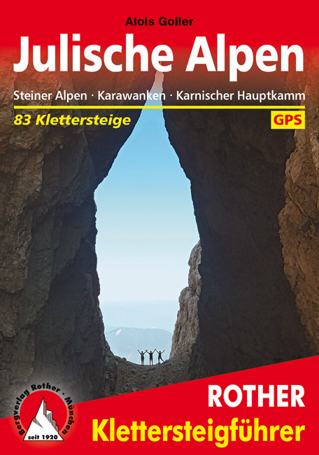
Julische Alpen
Descripción

The Julian Alps are located in the triangle of Austria, Italy and Slovenia. Officially, Austria has no share in these Alps, while the main and highest - and most spectacular - part of them is situated in Slovenia: the Triglav Mountains.
The Julian Alps are part of the Southern Limestone Alps. Like the Northern Limestone Alps, these mountains are characterized by steep, sharp, white limestone massifs. They reach their highest point in the Triglav (2.864 m). This mountain is easy to climb for the sure-footed (rope recommended). Connections between huts sometimes are stunning demonstrations of trail hewing, making forbidding rock faces accessible. Not recommended for those suffering from vertigo.
The area has a pronounced sweet side too: beautiful forests and lakes, and also picturesque farmland on the lower plains. This is making for some very enjoyable hikes in view of the white teethed crests.
Mapa


Senderos en región
Enlaces
Datos
Informes
Guías y mapas
Hospedaje
Organizaciones
Operadores turísticos
GPS
Otro
Libros

- Also available from:
- De Zwerver, Netherlands
Netherlands
2019
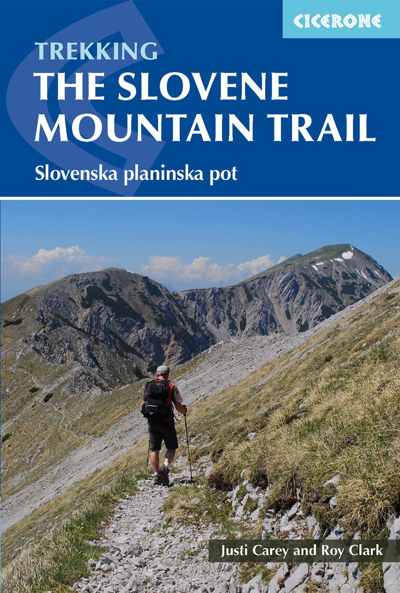
- Wandelgids The Slovene Mountain Trail | Cicerone
- Guidebook to trekking the Slovene Mountain Trail or Transverzala, 550km across Slovenia. Beginning at Maribor near the Austrian border to Ankaran on the Adriatic coast, the route is described as a series of 3 to 6-day treks through the region of Pohorje and the limestone mountains of the Karavanke and Kamnik-Savinja and Julian Alps. Leer más

Netherlands
- Hiking in Switzerland
- This is the official guidebook to the Swiss section of the Via Alpina (National Route 1), published by the Swiss Hiking Federation. The Via Alpina is a network of five long-distance hiking routes which cross eight Alpine countries from Trieste to Monaco - over 5,000 kilometres of hiking trails in total. On Swiss soil, National Route 1 Via... Leer más
- Also available from:
- Bol.com, Belgium
Belgium
- Hiking in Switzerland
- This is the official guidebook to the Swiss section of the Via Alpina (National Route 1), published by the Swiss Hiking Federation. The Via Alpina is a network of five long-distance hiking routes which cross eight Alpine countries from Trieste to Monaco - over 5,000 kilometres of hiking trails in total. On Swiss soil, National Route 1 Via... Leer más
Netherlands
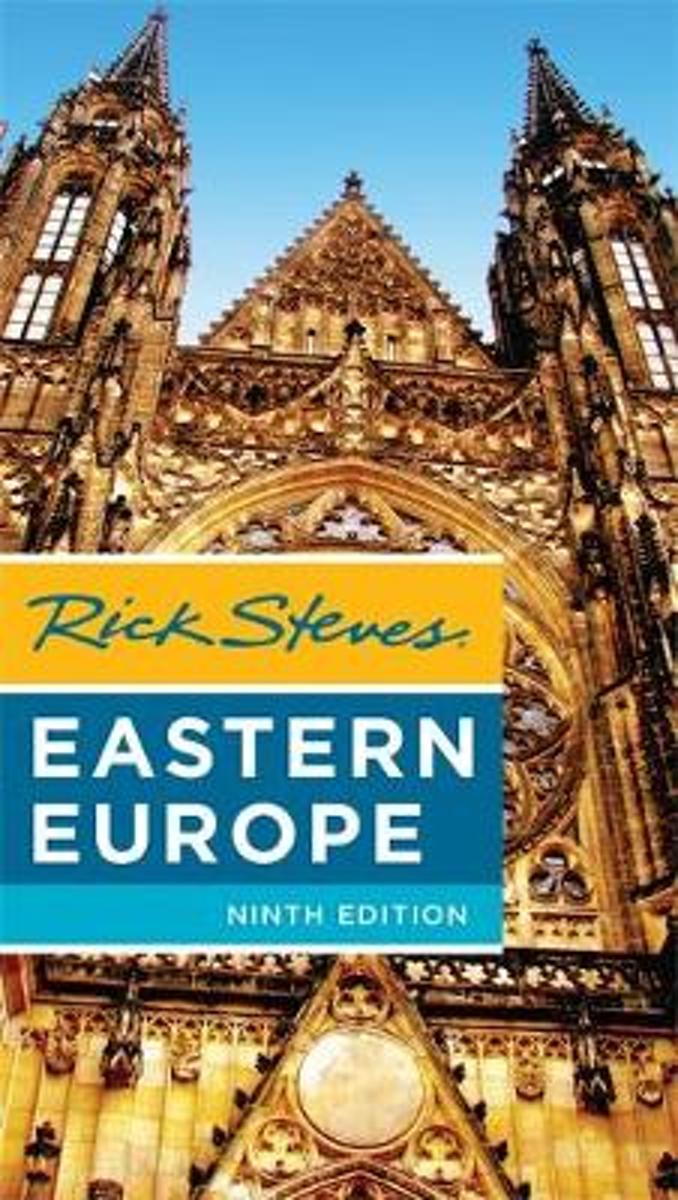
- Rick Steves Eastern Europe, Ninth Edition
- You can count on Rick Steves to tell you what you really need to know when traveling in Eastern Europe-including the Czech Republic, Slovakia, Poland, Hungary, Slovenia, and Croatia. Explore Eastern Europe's top cities, from the romantic spires of Prague and the steamy thermal baths of Budapest to charming Krakow and laid-back Ljubljana. Enjoy... Leer más
- Also available from:
- Bol.com, Belgium
Belgium
- Rick Steves Eastern Europe, Ninth Edition
- You can count on Rick Steves to tell you what you really need to know when traveling in Eastern Europe-including the Czech Republic, Slovakia, Poland, Hungary, Slovenia, and Croatia. Explore Eastern Europe's top cities, from the romantic spires of Prague and the steamy thermal baths of Budapest to charming Krakow and laid-back Ljubljana. Enjoy... Leer más
Netherlands
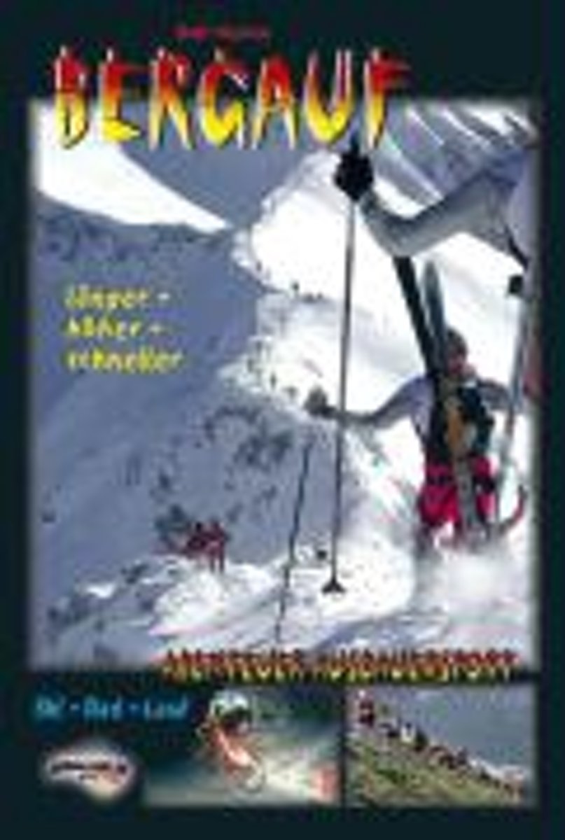
- Bergauf - Abenteuer Ausdauersport
- "BERGAUF" gibt einen faszinierenden und einmaligen Einblick in das Leben eines Menschen, der Spa am (Extrem-) Sport und Liebe zur Natur in gro artiger Weise zu verbinden versteht. Der Autor bringt einen spannenden Mix seiner Erlebnisse und Erfahrungen beim hochalpinen Skibergsteigen, Rad-Bergrennen, Berg- und Treppenlaufen und erg nzt seine... Leer más
- Also available from:
- Bol.com, Belgium
Belgium
- Bergauf - Abenteuer Ausdauersport
- "BERGAUF" gibt einen faszinierenden und einmaligen Einblick in das Leben eines Menschen, der Spa am (Extrem-) Sport und Liebe zur Natur in gro artiger Weise zu verbinden versteht. Der Autor bringt einen spannenden Mix seiner Erlebnisse und Erfahrungen beim hochalpinen Skibergsteigen, Rad-Bergrennen, Berg- und Treppenlaufen und erg nzt seine... Leer más

United Kingdom
2015
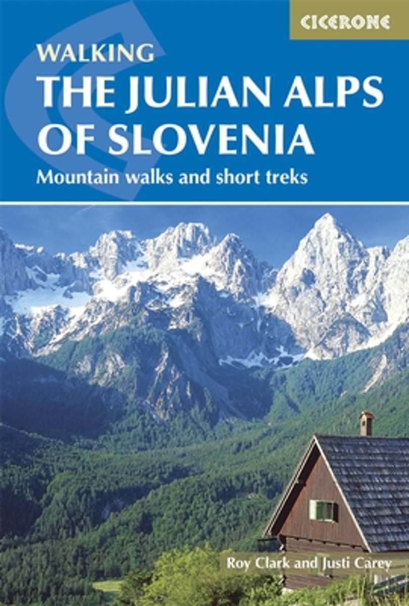
- Julian Alps of Slovenia: Mountain Walks and Short Treks
- The Julian Alps of Slovenia in a walking guide from Cicerone Press with 58 hiking routes including a couple of multi-day itineraries, grouped geographically to provide a variety of choices for casual walkers to experienced hill walkers, and accessible from popular holiday destinations, with descriptions accompanied by colour sketch maps.Day... Leer más
- Also available from:
- The Book Depository, United Kingdom
- Bol.com, Netherlands
- Bol.com, Belgium
- De Zwerver, Netherlands

United Kingdom
2015
- The Julian Alps of Slovenia
- Mountain Walks and Short Treks Leer más

Netherlands
2015
- The Julian Alps of Slovenia
- This guidebook contains 58 walking routes which explore the best of the Julian Alps of Slovenia. The walks and treks in this guidebook are organised around five bases in the Julian Alps - Kranjska Gora, Bovec, Kobarid, Bled and Bohinj - all of which have a range of accommodation and public transport facilities. There is something here for... Leer más
Belgium
2015
- The Julian Alps of Slovenia
- This guidebook contains 58 walking routes which explore the best of the Julian Alps of Slovenia. The walks and treks in this guidebook are organised around five bases in the Julian Alps - Kranjska Gora, Bovec, Kobarid, Bled and Bohinj - all of which have a range of accommodation and public transport facilities. There is something here for... Leer más

Netherlands
2015
- Wandelgids Julian Alps of Slovenia - Julische Alpen | Cicerone
- Guidebook describing 58 walks in the Julian Alps of Slovenia. The walks are organized around five bases - Kranjska Gora, Bovec, Kobarid, Bled and Bohinj. The routes in the Julian Alps range from easy valley walks and rougher forest trails to high-mountain protected routes, including Triglav at 2864m, and multi-day treks. Leer más

United Kingdom
2015
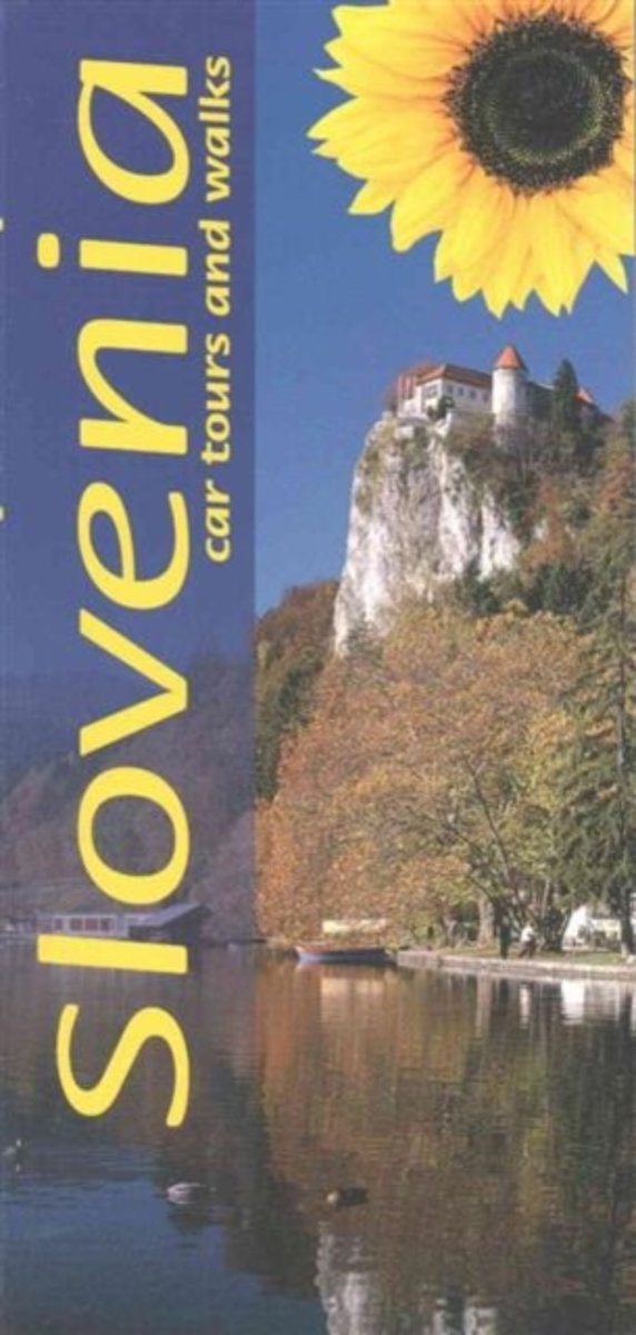
- Slovenia Sunflower Landscape Guide
- Slovenia is the Sunflower Landscapes guide to exploring the best walking and touring possibilities in the country. The guide covers a range of routes including walks in lake Bled, Bovec, Kobarid, Slap Prsjak and Robanov Kot. A double-sided, fold-out touring map at the back of the book gives an overview of Slovenia and the locations of each... Leer más
- Also available from:
- Bol.com, Netherlands
- Bol.com, Belgium
Netherlands
2015
- Landscapes of Slovenia
- 'Small is beautiful' certainly applies to Slovenia, which is only half the size of Switzerland. With a population of just two million, the landscape is still essentially rural. Amongst these industrious people one senses an orderly contentment and a feeling that everything is in tune with nature. Tour Slovenia by car or on foot; the... Leer más
Belgium
2015
- Landscapes of Slovenia
- 'Small is beautiful' certainly applies to Slovenia, which is only half the size of Switzerland. With a population of just two million, the landscape is still essentially rural. Amongst these industrious people one senses an orderly contentment and a feeling that everything is in tune with nature. Tour Slovenia by car or on foot; the... Leer más

Netherlands
2019
- WF5966 Julische Alpen mit Karte Kompass
- De Kompass wandelgids + kaart geeft een overzicht van alle wandelroutes in het gebied met nauwkeurige routeaanwijzingen en hoogteaanduidingen, De extra grote kaart, schaal 1:35 000, is ideaal om van te voren uw route uit te stippelen en om onderweg te gebruiken; naast de bekende bestemmingen, worden ook de minder bekende vermeld; openbaar... Leer más
- Also available from:
- Bol.com, Belgium
Belgium
2019
- WF5966 Julische Alpen mit Karte Kompass
- De Kompass wandelgids + kaart geeft een overzicht van alle wandelroutes in het gebied met nauwkeurige routeaanwijzingen en hoogteaanduidingen, De extra grote kaart, schaal 1:35 000, is ideaal om van te voren uw route uit te stippelen en om onderweg te gebruiken; naast de bekende bestemmingen, worden ook de minder bekende vermeld; openbaar... Leer más
Netherlands
- Julian Alps of Slovenia
- 'The Julian Alps of Slovenia' contains over 60 walks which bring the best of the Julian Alps to the English-speaking walker. The walks and treks in this guidebook are organised around five bases in the Julian Alps - Kranjska Gora, Bovec, Kobarid, Bled and Bohinj - all of which have a range of accommodation and public transport facilities. There... Leer más
- Also available from:
- Bol.com, Belgium
Belgium
- Julian Alps of Slovenia
- 'The Julian Alps of Slovenia' contains over 60 walks which bring the best of the Julian Alps to the English-speaking walker. The walks and treks in this guidebook are organised around five bases in the Julian Alps - Kranjska Gora, Bovec, Kobarid, Bled and Bohinj - all of which have a range of accommodation and public transport facilities. There... Leer más

Netherlands
2014
- Walking in the Bavarian Alps
- Guidebook describing a both valley and mountain walks and treks in the Bavarian Alps. 85 walks are covered, including graded mountain routes, gentler valley walks, hut-to-hut routes and two multi-day tours, arranged by region with practical information on transport, accommodation and the like. Since the last edition of this guide many of the... Leer más
- Also available from:
- Bol.com, Belgium
Belgium
2014
- Walking in the Bavarian Alps
- Guidebook describing a both valley and mountain walks and treks in the Bavarian Alps. 85 walks are covered, including graded mountain routes, gentler valley walks, hut-to-hut routes and two multi-day tours, arranged by region with practical information on transport, accommodation and the like. Since the last edition of this guide many of the... Leer más
Netherlands
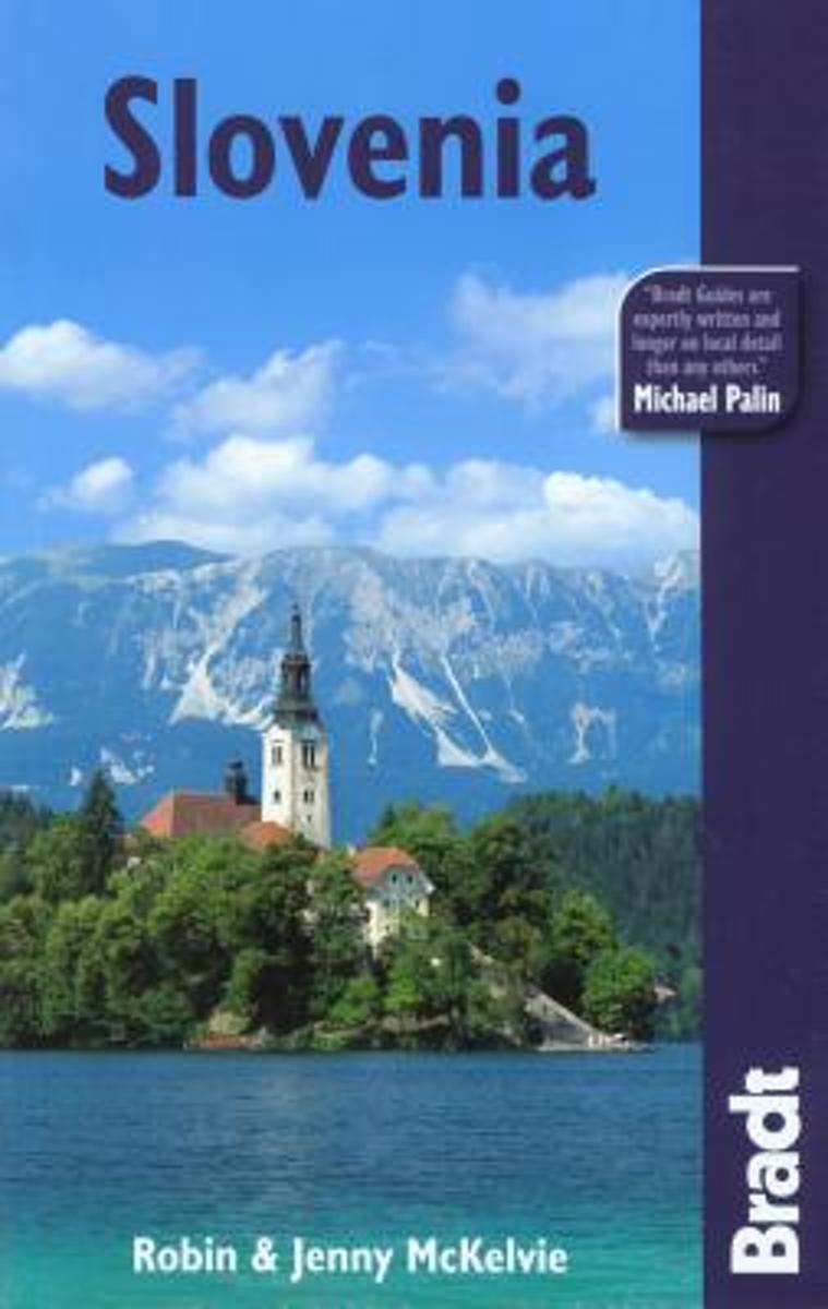
- The Bradt Travel Guide Slovenia
- Once part of the larger republic of Yugoslavia, Slovenia is now an independent country with impressive Alpine scenery and charming Adriatic coastal towns. In addition to practical information on the country's accessible capital, Ljubljana, the Bradt guide explores off-the-beaten-track Slovenia including visits to wine-growing regions, hiking in... Leer más
- Also available from:
- Bol.com, Belgium
Belgium
- The Bradt Travel Guide Slovenia
- Once part of the larger republic of Yugoslavia, Slovenia is now an independent country with impressive Alpine scenery and charming Adriatic coastal towns. In addition to practical information on the country's accessible capital, Ljubljana, the Bradt guide explores off-the-beaten-track Slovenia including visits to wine-growing regions, hiking in... Leer más

United Kingdom
2019
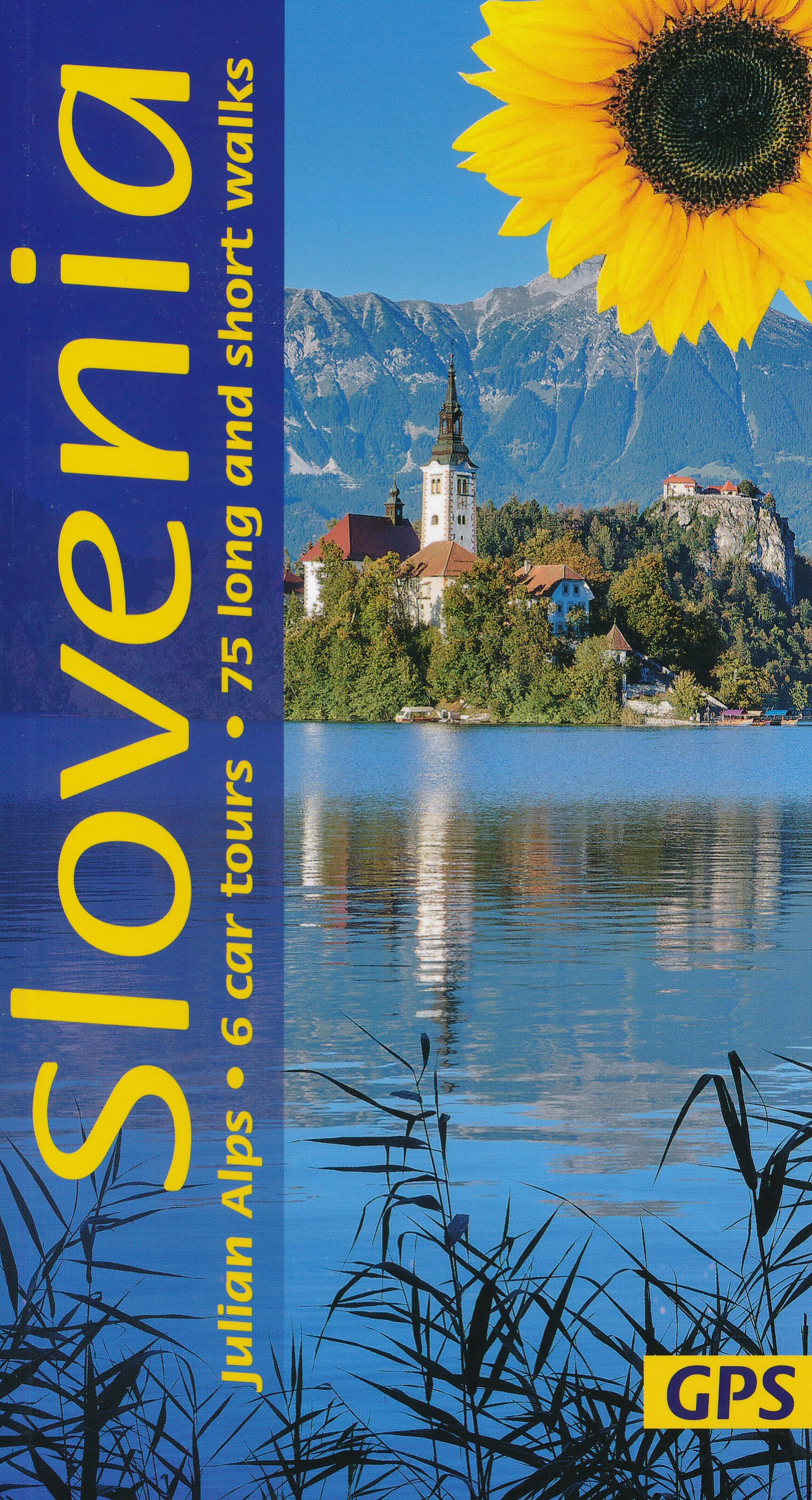
- Slovenia Sunflower Landscape Guide
- Several new walks have been added in this 5th edition, which was checked on the ground a few months prior to publication. The maps have been redesigned with waypoints, and GPS tracks are now available for all the walks. The book is one of the first in our new wider format: no mapping is lost in the gutter. Leer más
- Also available from:
- De Zwerver, Netherlands
Netherlands
2022
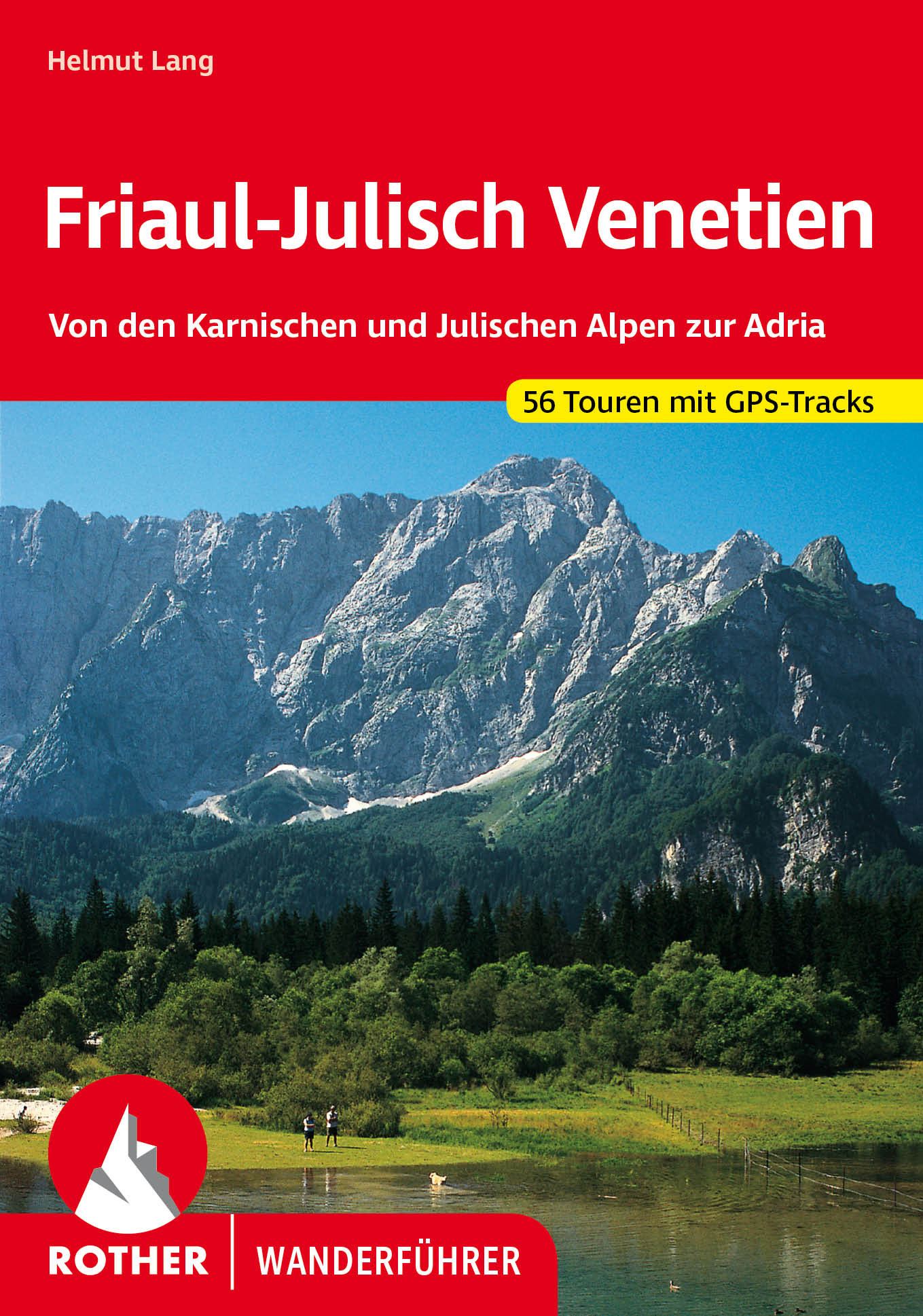
- Wandelgids 40 Friaul - Julisch Venetien - Venetië | Rother Bergverlag
- Duitstalige wandelgids met zeer goed beschreven wandelingen in de genoemde gebieden. Redelijk kaartmateriaal, vooral de beschrijving van de route en de praktische info die er bij hoort is meer dan goed. Over alle eilanden verspreid. Friaul-Julisch Venetien welch geheimnisvoller Zauber schwingt in diesen Worten mit! Sie bezeichnen eine Region im... Leer más

United Kingdom
2017
- The Swiss Alpine Pass Route - via Alpina Route 1: Trekking East to West Across Switzerland
- This guidebook presents the stunning Alpine Pass Route, now fully waymarked as Via Alpina 1. The 360km trail traverses Switzerland from east to west, from Sargans near the Liechtenstein border to Montreux on Lac Leman (Lake Geneva). Crossing sixteen Alpine passes, it showcases some of the country`s most breathtaking mountain landscapes,... Leer más
- Also available from:
- Bol.com, Netherlands
- Bol.com, Belgium

Netherlands
2017
- The Swiss alpine pass route - Via Alpina route 1
- This guidebook presents the stunning Alpine Pass Route, now fully waymarked as Via Alpina 1. The 360km trail traverses Switzerland from east to west, from Sargans near the Liechtenstein border to Montreux on Lac Léman (Lake Geneva). Crossing sixteen Alpine passes, it showcases some of the country's most breathtaking mountain landscapes,... Leer más
Belgium
2017
- The Swiss alpine pass route - Via Alpina route 1
- This guidebook presents the stunning Alpine Pass Route, now fully waymarked as Via Alpina 1. The 360km trail traverses Switzerland from east to west, from Sargans near the Liechtenstein border to Montreux on Lac Léman (Lake Geneva). Crossing sixteen Alpine passes, it showcases some of the country's most breathtaking mountain landscapes,... Leer más
Netherlands
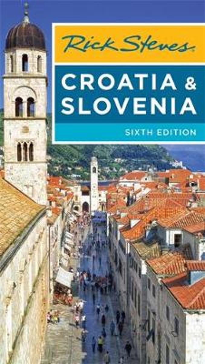
- Rick Steves Croatia & Slovenia (Sixth Edition)
- You can count on Rick Steves to tell you what you really need to know when traveling to Croatia and Slovenia.With this guide, youll explore charming towns and undiscovered natural wonders. Stroll atop the walls that encircle romantic Dubrovnik, wander through the Roman ruins in the heart of bustling Split, and set sail to the islands of... Leer más
- Also available from:
- Bol.com, Belgium
Belgium
- Rick Steves Croatia & Slovenia (Sixth Edition)
- You can count on Rick Steves to tell you what you really need to know when traveling to Croatia and Slovenia.With this guide, youll explore charming towns and undiscovered natural wonders. Stroll atop the walls that encircle romantic Dubrovnik, wander through the Roman ruins in the heart of bustling Split, and set sail to the islands of... Leer más
Mapas

United Kingdom
- Goms - Aletsch
- Goms - Aletsch area of the Bernese Oberland at 1:50,000 in a series from Hallwag covering Switzerland’s popular hiking regions on light, waterproof and tear-resistant maps highlighting long-distance paths: the nine national routes plus special regional routes, as well as other local hiking trails.Cartography is similar to that used both in... Leer más

United Kingdom
- Styrian Winelands - Southwest Styria F&B WK411
- Styrian Winelands area south-eastern Austria presented at 1:50,000 in a series of contoured and GPS compatible outdoor leisure map from Freytag & Berndt with hiking and cycling routes, mountain huts, campsites and youth hostels, local bus stops, plus other tourist information. To see the list of currently available titles in this series please... Leer más

United Kingdom
- Julian Alps West Kartografija Tourist Map
- The western part of Slovenia’s Julian Alps on a contoured and GPS compatible map at 1:75,000 from the Ljubljana-based Kartografija. Coverage includes the Triglav National Park, Kranjska Gora, Bovec, Bled, Jesenice, Tolmin, Škofja Loka, etc. On the reverse are bilingual English/Slovenian descriptions of the region’s best sights.Maps in this... Leer más
United Kingdom
- Montreux
- Montreux - Col du Pillon area at 1:50,000 in a series from Hallwag covering Switzerland’s popular hiking regions on light, waterproof and tear-resistant maps highlighting long-distance paths: the nine national routes plus special regional routes, as well as other local hiking trails.Cartography is similar to that used both in Hallwag’s hiking... Leer más

United Kingdom
- Julian Alps
- Julian Alps at 1:50,000 on a GPS compatible, contoured hiking map from Sidarta with on the reverse details of 41 mountain huts, each annotated with main trails leading to it; also climbing areas, natural heritage sites, etc. The map covers the whole of the Triglav National Park, extending outside its boundary north to Kranjska Gora and the... Leer más
- Also available from:
- Stanfords, United Kingdom

United Kingdom
- Julian Alps
- Julian Alps in a series of double-sided maps at 1:40,000 from Kartografija in Ljubljana, accompanied by a 71-page bilingual Slovenian/English colour booklet with 42 pages of descriptions of the region’s numerous places of interest, plus brief descriptions of 44 recommended hiking trails and of 9 cycling routes, from 8.5km to 48km long and... Leer más

United Kingdom
- Jalovec and Mangart Slovenian Alpine Club 25k Map
- Jalovec and Mangart area of the Julian Alps at 1:25,000 in a series of contoured, GPS compatible recreational maps from Planinska zveza Slovenie - Slovenian Alpine Club, covering Slovenia’s popular hiking regions at 1:50,000 or 1:25,000. Maps in the Planinska zveza series titles have contours enhanced by shading and graphic relief in the... Leer más

United Kingdom
- Triglav - Kranjska Gora - Bohinj
- Triglav - Kranjska Gora - Bohinj area of the Triglav National Park in the Julian Alps at 1:25,000 on a double-sided, contoured and GPS compatible hiking map from Sidarta with details of 27 mountain huts, each annotated with main trails leading to it; also climbing areas, natural heritage sites, etc. The map is double-sided and covers the... Leer más

United Kingdom
- Val Venosta / Vinschgau K+F Outdoor Map 1
- Val Venosta / Vinschgau area in the Dolomites at 1:50,000 in a series of waterproof and tear-resistant, GPS compatible and contoured recreational maps from Kümmerly + Frey with both local and long-distance hiking and cycling trails, ski routes, sites for other outdoor pursuits, accommodation, bus stops, etc. Coverage includes the Ortles/Ortler... Leer más

United Kingdom
- Bled Pocket Map
- Bled and its lake in the Julian Alps at 1:25,000 on a contoured, GPS compatible pocket map from Kartografija highlighting hiking and cycling trails, plus extensive notes about the area and its sights, lists of tourist accommodation, recommendations for restaurants and tavernas, etc.Kartografija’s pocket hiking maps at 1:25,000 show walking... Leer más

United Kingdom
- Lake Maggiore - Lake Orta - Lake Varese K+F Outdoor Map 8
- Lake Maggiore - Lake Orta - Lake Varese area at 1:50,000 in a series of waterproof and tear-resistant, GPS compatible and contoured recreational maps from Kümmerly + Frey with both local and long-distance hiking and cycling trails, ski routes, sites for other outdoor pursuits, accommodation, bus stops, etc. An inset provides a small road map of... Leer más

United Kingdom
- Bohinj Pocket Map
- Bohinj Lake and the surrounding area of the Julian Alps at 1:25,000 on a contoured, GPS compatible pocket map from Kartografija highlighting hiking and cycling trails, plus extensive notes about the area and its sights, lists of tourist accommodation, recommendations for restaurants and tavernas, etc.Kartografija’s pocket hiking maps at... Leer más

United Kingdom
- Lake Como K+F Outdoor Map 9
- Lake Como area at 1:50,000 on a double-sided, waterproof and tear-resistant, GPS compatible and contoured recreational maps from Kümmerly + Frey with both local and long-distance hiking and cycling trails, ski routes, sites for other outdoor pursuits, accommodation, bus stops, etc. Coverage includes the northern part of Lake Lugano and extends... Leer más

United Kingdom
- Heidiland - UNESCO Tectonic Arena Sardona 50K K+F Hiking Map No. 33
- Heidiland, including the Swiss Tectonic Arena Sardona – a UNESCO World Heritage Site, at 1:50,000 in Kümmerly + Frey’s hiking series of Switzerland printed on light, waterproof and tear-resistant plastic paper. Coverage includes Walensee, Flumserberg, Pizol, Weisstannental, Sarganserland and Taminatal. Hiking trails highlighted on the map... Leer más

United Kingdom
- Val Brembana - Valsassina - Le Grigne: Lecco - Bergamo 50K IGC Map No. 22
- Val Brembana - Valsassina - Le Grigne area including Lecco and Bergamo in a series contoured hiking maps at 1:50,000 with local trails, long-distance footpaths, mountain accommodation, etc. from the Turin based Istituto Geografico Centrale.Maps in this series have contours at 50m intervals, enhanced by shading and graphic relief. An overprint... Leer más
United Kingdom
- Adelboden - Lenk
- Adelboden - Lenk area of the western Bernese Oberland, from Gstaad to Frutigen and Leukerbad at 1:50,000 in a series from Hallwag covering Switzerland’s popular hiking regions on light, waterproof and tear-resistant maps highlighting long-distance paths: the nine national routes plus special regional routes, as well as other local hiking... Leer más