Szlak Nadmorski
Descripción
- Name Szlak Nadmorski (ZP/PM-5)
- Distancia de sendero 378 km, 235 millas
- Duración en días 19 días
- Inicio de sendero Świnoujście
- Fin de sendero Żarnowiec
- Clasificación Traildino LW, Paseo ligero, paseo en entorno campestre


Szlak Nadmorski, Coastal Trail, 378 km
This trail follows the Baltic coast of Poland, starting at the border of Germany and ending in the little village of Żarnowiec. The Baltic coast is flat, and usually there is beach. The route is varied: forests, lakes and inlets, little streams and large rivers, interspersed with villages and historic towns.
The trail is part of the European Long Distance Trail E9. This trail continues beyond Żarnowiec towards the border with Russia.
The wiki page (links section) offers a detailed description and can be used as a guide, alongside the maps. The marking in the field is good. Accommodation is plentiful.
Select some tracks
☐Szlak Nadmorski Zatokowy, 54km
☐Smołdzino - Szlak Nadmorski, 6.4km
☐Gardna Wielka - Szlak Nadmorski, 5.2km
☐Lake Superior Coastal Trail, 23km
☐南區海濱長廊 Southern District Coastal Trail, 23km
☐Great Ocean Road Coastal Trail (proposed), 21km
☐California Coastal Trail, 46km
☐California Coastal Trail - Sue-meg, 5.5km
☐Maine Coastal Trail, 34km
☐Tony Knowles Coastal Trail, 17km
Enlaces
Datos
Informes
Guías y mapas
Hospedaje
Organizaciones
Operadores turísticos
GPS
Otro
Libros
Bol.com
Netherlands
2014
Netherlands
2014
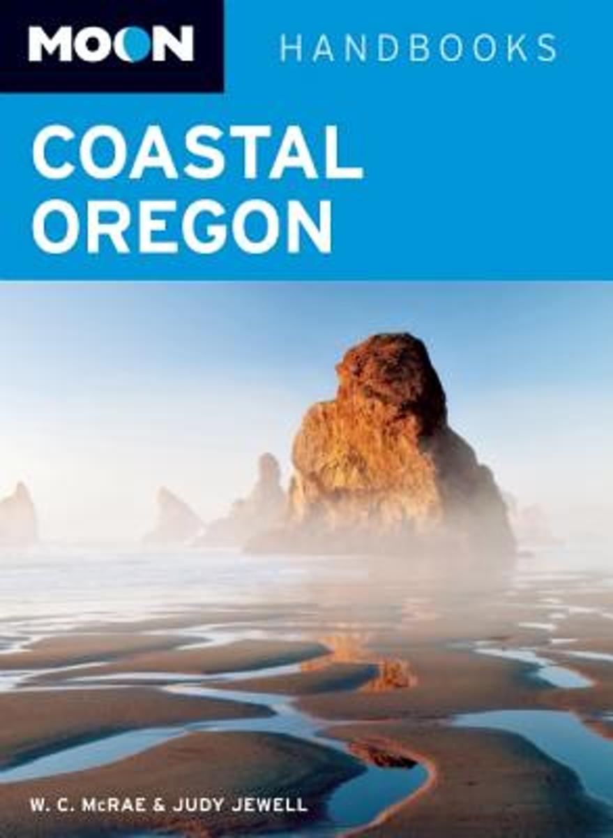
- Moon Coastal Oregon
- Outdoor enthusiasts W. C. McRae and Judy Jewell share their extensive knowledge of coastal Oregon, from the best places to grab a seaside snack to the most scenic hikes along the Coastal Trail. McRae and Jewell also outline a variety of suggested travel strategies, including Riding the Pacific Waves, Foraging the Coast, and Coastal Road Tripa... Leer más
- Also available from:
- Bol.com, Belgium

Bol.com
Belgium
2014
Belgium
2014
- Moon Coastal Oregon
- Outdoor enthusiasts W. C. McRae and Judy Jewell share their extensive knowledge of coastal Oregon, from the best places to grab a seaside snack to the most scenic hikes along the Coastal Trail. McRae and Jewell also outline a variety of suggested travel strategies, including Riding the Pacific Waves, Foraging the Coast, and Coastal Road Tripa... Leer más

Stanfords
United Kingdom
United Kingdom
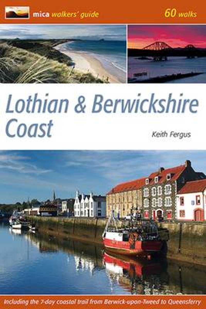
- Lothian & Berwickshire Coast: 60 Walks
- 53 varied and family oriented day walks of 2 to 9 miles exploring the magnificent sandy beaches, spectacular cliffs and human history of Scotland`s south-east coast. Routes begin at Bo`ness on the River Forth, take in the delights of Edinburgh and continue east to the holiday destinations of Portobello, North Berwick, Gullane and Dunbar. The... Leer más
- Also available from:
- The Book Depository, United Kingdom
- Bol.com, Netherlands
- Bol.com, Belgium
Bol.com
Netherlands
Netherlands
- Lothian & Berwickshire Coast
- 53 varied and family oriented day walks of 2 to 9 miles exploring the magnificent sandy beaches, spectacular cliffs and human history of Scotland's south-east coast. Routes begin at Bo'ness on the River Forth, take in the delights of Edinburgh and continue east to the holiday destinations of Portobello, North Berwick, Gullane and Dunbar. The... Leer más

Bol.com
Belgium
Belgium
- Lothian & Berwickshire Coast
- 53 varied and family oriented day walks of 2 to 9 miles exploring the magnificent sandy beaches, spectacular cliffs and human history of Scotland's south-east coast. Routes begin at Bo'ness on the River Forth, take in the delights of Edinburgh and continue east to the holiday destinations of Portobello, North Berwick, Gullane and Dunbar. The... Leer más
Bol.com
Netherlands
Netherlands
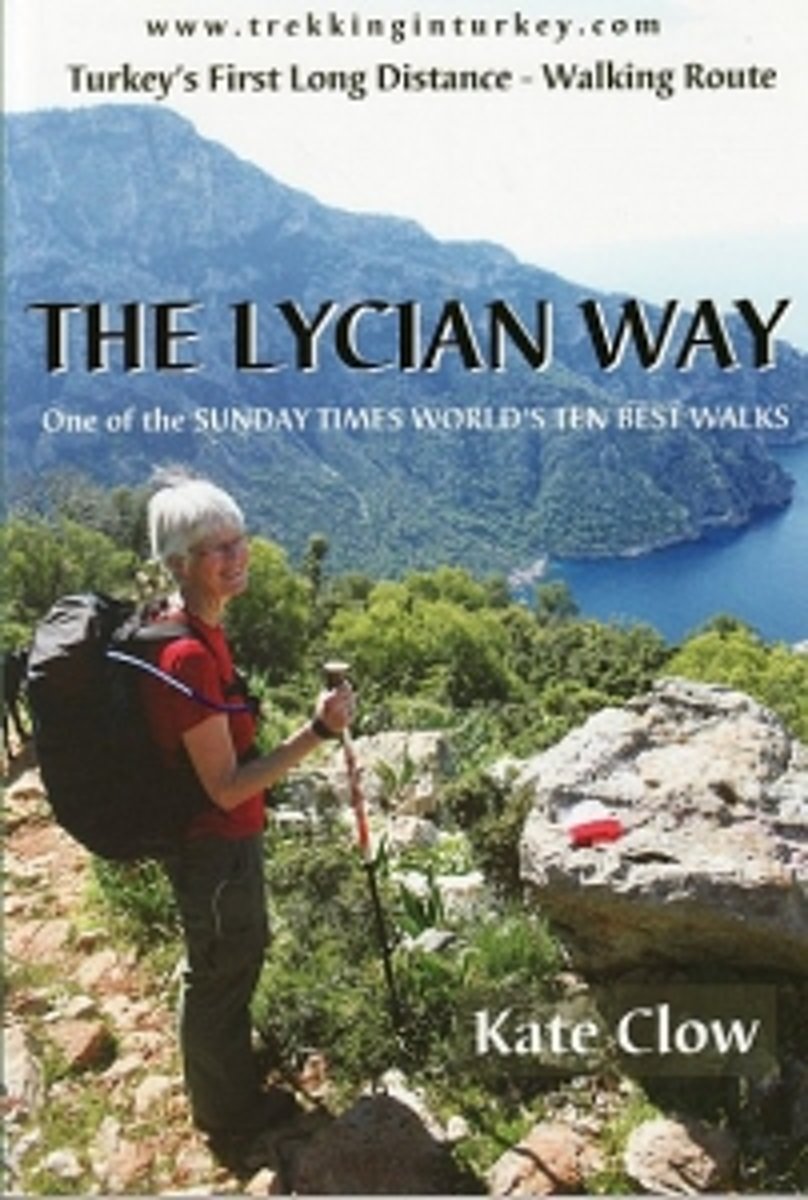
- The Lycian Way
- The Lycian Way, Turkey's first long-distance walk, celebrates its 10th birthday in 2009. This 500km coastal trail has risen from obscurity to international acclaim, featured in Time magazine and selected by the BBC as one of the world's 30 best walks. As the route matures, the walker profile is changing from dedicated backpacker to supported... Leer más
- Also available from:
- Bol.com, Belgium

Bol.com
Belgium
Belgium
- The Lycian Way
- The Lycian Way, Turkey's first long-distance walk, celebrates its 10th birthday in 2009. This 500km coastal trail has risen from obscurity to international acclaim, featured in Time magazine and selected by the BBC as one of the world's 30 best walks. As the route matures, the walker profile is changing from dedicated backpacker to supported... Leer más
Bol.com
Netherlands
Netherlands
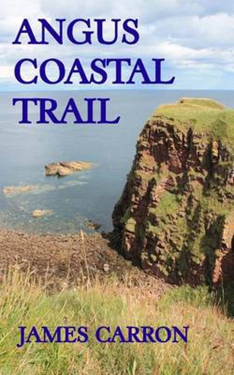
- Angus Coastal Trail
- Angus has a proud maritime heritage and a wonderful coastline to explore. While a formal coastal path remains in development there are plenty of well-trod seaside paths and cliff top trails linking fine beaches, dramatic geological features and secluded coves, all with a story to tell.This book links up these paths and tracks to create a 68km... Leer más
- Also available from:
- Bol.com, Belgium

Bol.com
Belgium
Belgium
- Angus Coastal Trail
- Angus has a proud maritime heritage and a wonderful coastline to explore. While a formal coastal path remains in development there are plenty of well-trod seaside paths and cliff top trails linking fine beaches, dramatic geological features and secluded coves, all with a story to tell.This book links up these paths and tracks to create a 68km... Leer más
Bol.com
Netherlands
Netherlands
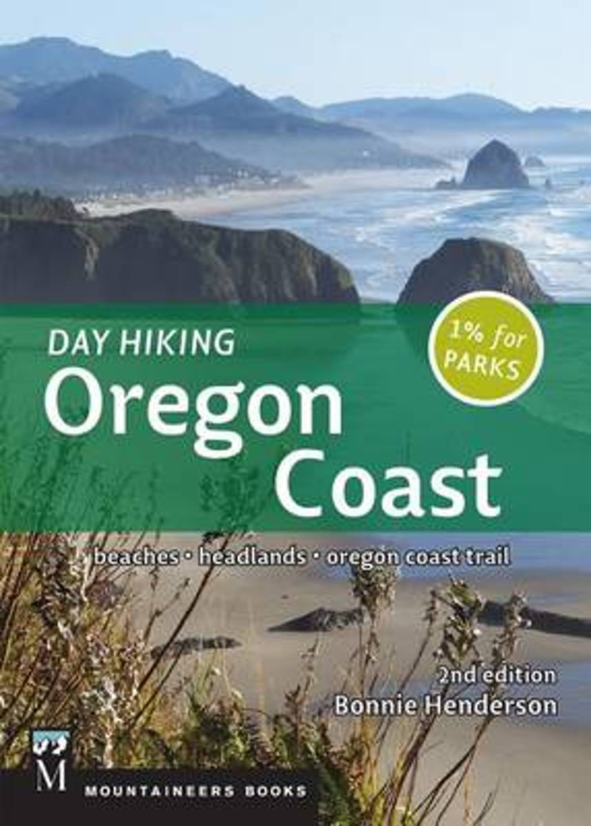
- Day Hiking Oregon Coast, 2nd Ed.
- Day Hiking: Oregon Coast, 2nd Edition is a special sort of hiking guidebook. On one hand, there are dozens of hikes to choose from for an easy family outing. However, it also is a comprehensive guide to a once-in-a-lifetime, multiday trek of the ever-popular Oregon Coast Trail. Essentially this guide works for everyone wanting to experience any... Leer más
- Also available from:
- Bol.com, Belgium

Bol.com
Belgium
Belgium
- Day Hiking Oregon Coast, 2nd Ed.
- Day Hiking: Oregon Coast, 2nd Edition is a special sort of hiking guidebook. On one hand, there are dozens of hikes to choose from for an easy family outing. However, it also is a comprehensive guide to a once-in-a-lifetime, multiday trek of the ever-popular Oregon Coast Trail. Essentially this guide works for everyone wanting to experience any... Leer más

Stanfords
United Kingdom
United Kingdom
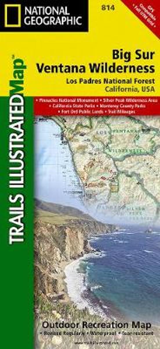
- Big Sur - Ventana Wilderness - Los Padres National Forest CA
- Map No. 814, Angeles National Forest, CA, in an extensive series of GPS compatible, contoured hiking maps of USA’s national and state parks or forests and other popular recreational areas. Cartography based on the national topographic survey, with additional tourist information.The maps, with most titles now printed on light, waterproof and... Leer más
- Also available from:
- Bol.com, Netherlands
- Bol.com, Belgium
Bol.com
Netherlands
Netherlands
- Big Sur/ventana Wilderness - Los Padres National Forest
- Waterproof Tear-Resistant Topographic MapNational Geographic's Trails Illustrated map of Big Sur / Ventana Wilderness - Los Padres National Forest is a two-sided, waterproof map designed to meet the needs of outdoor enthusiasts with unmatched durability and detail. This map was created in conjunction with local land management agencies... Leer más

Bol.com
Belgium
Belgium
- Big Sur/ventana Wilderness - Los Padres National Forest
- Waterproof Tear-Resistant Topographic MapNational Geographic's Trails Illustrated map of Big Sur / Ventana Wilderness - Los Padres National Forest is a two-sided, waterproof map designed to meet the needs of outdoor enthusiasts with unmatched durability and detail. This map was created in conjunction with local land management agencies... Leer más
Bol.com
Netherlands
2016
Netherlands
2016
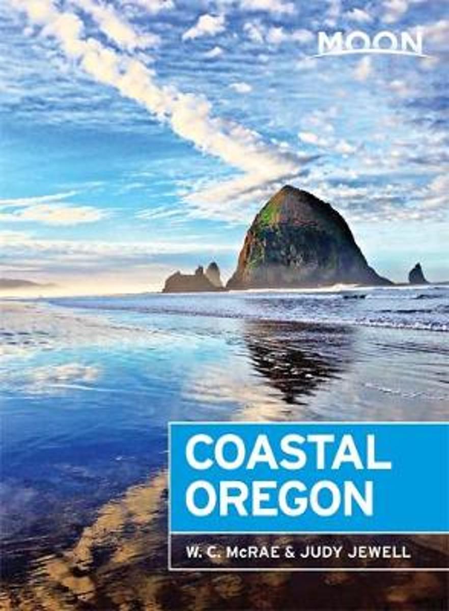
- Moon Coastal Oregon (6th ed)
- Outdoor enthusiasts W. C. McRae and Judy Jewell share their extensive knowledge of coastal Oregon, from the best places to grab a seaside snack to the most scenic hikes along the Coastal Trail. McRae and Jewell also outline a variety of suggested travel strategies, including Riding the Pacific Waves, Foraging the Coast, and Coastal Road Tripa... Leer más
- Also available from:
- Bol.com, Belgium

Bol.com
Belgium
2016
Belgium
2016
- Moon Coastal Oregon (6th ed)
- Outdoor enthusiasts W. C. McRae and Judy Jewell share their extensive knowledge of coastal Oregon, from the best places to grab a seaside snack to the most scenic hikes along the Coastal Trail. McRae and Jewell also outline a variety of suggested travel strategies, including Riding the Pacific Waves, Foraging the Coast, and Coastal Road Tripa... Leer más
Bol.com
Netherlands
Netherlands
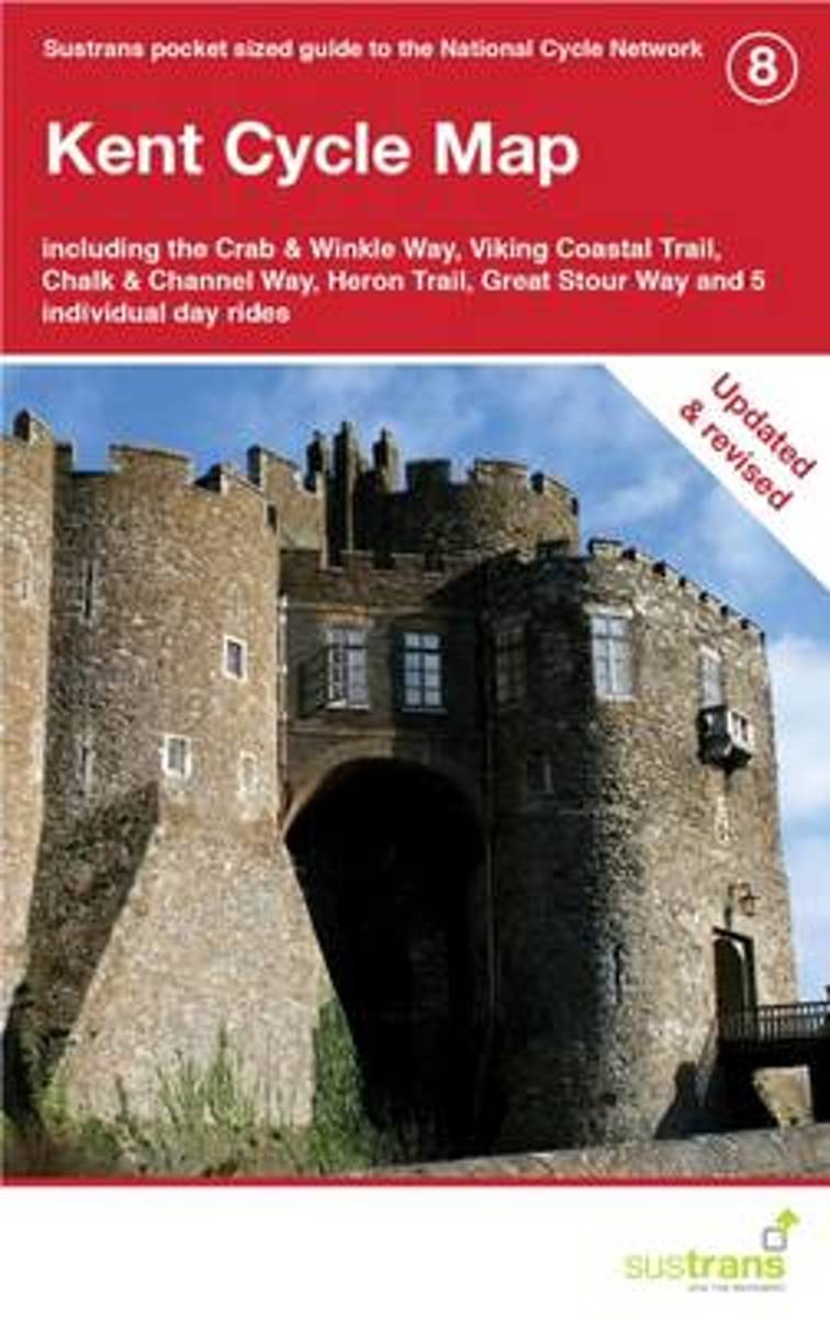
- Kent Cycle Map
- Part of a series of pocket sized, folded maps intended for the National Cycle Network which include clearly mapped on-road and traffic-free paths, easy to read contours and detailed town insets, this title presents maps in 1:110,000 scale; folded 155mm X 99mm; flat 792mm X 630mm. Leer más
- Also available from:
- Bol.com, Belgium

Bol.com
Belgium
Belgium
- Kent Cycle Map
- Part of a series of pocket sized, folded maps intended for the National Cycle Network which include clearly mapped on-road and traffic-free paths, easy to read contours and detailed town insets, this title presents maps in 1:110,000 scale; folded 155mm X 99mm; flat 792mm X 630mm. Leer más

Stanfords
United Kingdom
United Kingdom
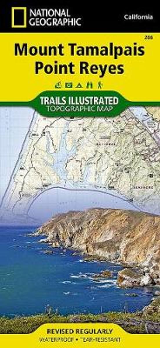
- Mount Tamalpais and Point Reyes CA
- Map No. 266, Mount Tamalpais and Point Reyes, CA, in an extensive series of GPS compatible, contoured hiking maps of USA’s national and state parks or forests and other popular recreational areas. Cartography based on the national topographic survey, with additional tourist information.The maps, with most titles now printed on light, waterproof... Leer más
- Also available from:
- The Book Depository, United Kingdom
- Bol.com, Netherlands
- Bol.com, Belgium

The Book Depository
United Kingdom
United Kingdom
- Mount Tamalpais/pt. Reyes
- Trails Illustrated Other Rec. Areas Leer más
Bol.com
Netherlands
Netherlands
- Mount Tamalpais/pt. Reyes
- Waterproof Tear-Resistant Topographic MapNational Geographic's Trails Illustrated map of Mount Tamalpais and Point Reyes is a two-sided, waterproof map designed to meet the needs of outdoor enthusiasts with unmatched durability and detail. This map was created in conjunction with local land management agencies and is loaded with valuable... Leer más

Bol.com
Belgium
Belgium
- Mount Tamalpais/pt. Reyes
- Waterproof Tear-Resistant Topographic MapNational Geographic's Trails Illustrated map of Mount Tamalpais and Point Reyes is a two-sided, waterproof map designed to meet the needs of outdoor enthusiasts with unmatched durability and detail. This map was created in conjunction with local land management agencies and is loaded with valuable... Leer más

Stanfords
United Kingdom
2008
United Kingdom
2008
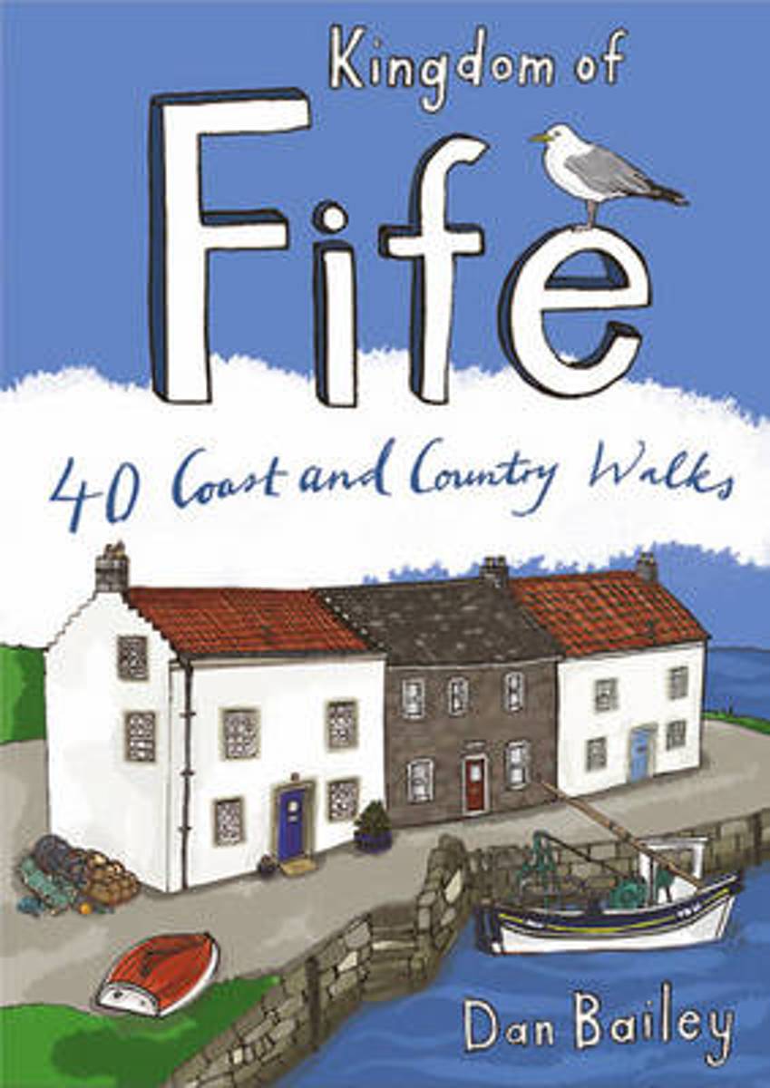
- Kingdom of Fife (Walks)
- Following on from the new ”Pocket Mountains Town and Country” series of shorter walks, this guidebook explores the stunning coast and countryside of the Kingdom of Fife.Featured here you`ll find 40 inspiring short walks in and around the Kingdom, stretching from the north side of the famous Forth Bridges, along the Firth of Forth to Culross,... Leer más
- Also available from:
- The Book Depository, United Kingdom
- Bol.com, Netherlands
- Bol.com, Belgium
- De Zwerver, Netherlands
Bol.com
Netherlands
2008
Netherlands
2008
- Kingdom of Fife
- Following on from the new Pocket Mountains Town and Country series of shorter walks, this guidebook explores the stunning coast and countryside of the Kingdom of Fife.Featured here you'll find 40 inspiring short walks in and around the Kingdom, stretching from the north side of the famous Forth Bridges, along the Firth of Forth to Culross, and... Leer más

Bol.com
Belgium
2008
Belgium
2008
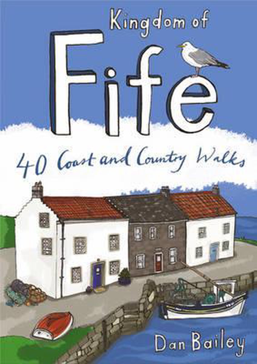
- Kingdom of Fife
- Following on from the new Pocket Mountains Town and Country series of shorter walks, this guidebook explores the stunning coast and countryside of the Kingdom of Fife.Featured here you'll find 40 inspiring short walks in and around the Kingdom, stretching from the north side of the famous Forth Bridges, along the Firth of Forth to Culross, and... Leer más
De Zwerver
Netherlands
2008
Netherlands
2008
- Wandelgids Weekend Walks Kingdom of Fife | Pocket Mountains
- Following on from the new Pocket Mountains Town and Country series of shorter walks, this guidebook explores the stunning coast and countryside of the Kingdom of Fife.Featured here you'll find 40 inspiring short walks in and around the Kingdom, stretching from the north side of the famous Forth Bridges, along the Firth of Forth to Culross, and... Leer más
Mapas

Stanfords
United Kingdom
United Kingdom
- Lower Glenelg and Discovery Bay: The Great South-West Walk Route, VIC/SA
- Lower Glenelg and Discovery Bay in the south-western corner of Victoria on a contoured and GPS compatible map at 1:50,000 from Carto-Graphics highlighting the course of the Great South-West Walk hiking trail. Coverage starts at Portland, showing both the coastal trail across the Discovery Bay Coastal Park and the inland variant through the... Leer más


