
Tysfjord
Descripción

The Tysfjord is the mountain and fjord area belonging to the city of Bodø in the north of Norway. You will not find any DNT huts nor cairned trails. Still, hardy hikers venture out into these remote mountains and valleys, bordering on the Swedish Padjelanta National Park. Part of the Norwegian area is declared a national park too: the Rago National Park, with its untouched Nordland country with waterfalls and characteristic fauna. The names of many lakes and mountains betray that we are in fact in Lapland here. The Nordkalottleden starts south of this area, in Sulitjelma, but circumvents this region; it runs on the Swedish side of the border.
Mapa

Senderos en región
Enlaces
Datos
Informes
Guías y mapas
Hospedaje
Organizaciones
Operadores turísticos
GPS
Otro
Mapas

Stanfords
United Kingdom
United Kingdom
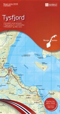
- Tysfjord Nordeca 10135
- Map No. 10135, Tysfjord, in the new topographic survey of Norway at 1:50,000 covering the country on 195 double-sided sheets and first published by Nordeca in 2011 - 2012; fully GPS compatible, indicating waymarked footpaths, campsites, tourist huts, illuminated ski runs, etc.The maps, now published by Nordeca, the successors to Statens... Leer más
De Zwerver
Netherlands
Netherlands
- Wandelkaart - Topografische kaart 10135 Norge Serien Tysfjord | Nordeca
- Een compleet nieuwe serie topografische kaarten voor Noorwegen 1:50 000. Het heeft een moderne cartografie, ontwikkeld voor het actieve buitenleven. Deze kaarten zijn ideaal voor wandel-en recreatief gebruik in de bergen, bossen, langs de kust en voor de jacht en de visserij. Voor professionele organisaties bieden de kaarten de nodige kennis... Leer más