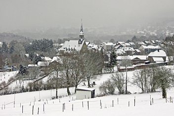
Luxemburgo
Descripción
Caught between France, Belgium and Germany, tiny Luxembourg is a bit like all three of them. Clearly marked hiking trails run across its high plateau's and through deeply cut valleys, adding up in length to an incredible 5000km! On your way you will pass through rural villages, see castles and follow meandering rivers. The river Moselle for instance, which Luxembourg shares with Germany. You will find hotels, youth hostels and camp sites almost anywhere. Combined with a wide choice of activities on the way, this makes Luxembourg into an excellent and fun country for hiking with children.
25 trails varying in length between 1 and 4 days have been laid out. In this mini-country it is of course impossible to walk a single trail of 1200km. The pan-European hiker walking European long distance trail E2, will pass through Luxembourg on the way from Hook of Holland to Nice. The E3 also includes a portion of northern Luxembourg, before following part of the E2. The Belgian system of long distance trails also continues into Luxembourg, such as the GR57. Then there is the Ardennes-Eiffel Trail (AE) crossing Belgium, Germany and Luxembourg, and some 500km of disused railway track transformed into footpaths. All this leaves unmentioned the hundreds of short circular trails.
All trails are very clearly marked, and excellently documented. As a walker you are well taken care of. Brochures are issued in different languages. Detailed maps show the trails. And what's best, you can enjoy it all year round. Spring, summer and autumn are obviously colourful seasons in this landscape of forests and fields. But why not set out in winter? Daydreaming in the snow, looking back on the past year and planning the next. Emerging from the forest to find a beckoning café, and gathering new energy over a mug of steaming hot chocolate.
Senderos
- Alzette PathGPX
- Attert PathGPX
- Charles Mathieu PathGPX
- Clervaux - Our
- E2GPX
- E3GPX
- Eisléck PathGPX
- Fred Welter Path
- GR15 - AE - Ardennes-EifelGPX
- GR5GPX
- GR57 - Vallée de l'OurtheGPX
- GR570 - Pays des Trois FrontièresGPX
- Little Switzerland PathGPX
- Lower-Sûre Path
- Mamer PathGPX
- Maurice Cosyn PathGPX
- Mëllerdall Path
- Müllerthal TrailGPX
- Moselle PathGPX
- North PathGPX
- Our PathGPX
- Panorama PathGPX
- Path of the MineworkersGPX
- Préizerdaul PathGPX
- Remerschen - HellangeGPX
- Rhine-Meuse Trail
- Santiago de Compostela Pilgrims WayGPX
- Schengen – Hellange
- South LuxembourgGPX
- South PathGPX
- Transardense Route
- Upper-Sûre Lake PathGPX
- Upper-Sûre PathGPX
- Valley of the 7 CastlesGPX
- Victor Hugo PathGPX
- Wiltz PathGPX


