
Miners Way and Historical Trail
Descripción
- Name Miners Way and Historical Trail
- Distancia de sendero 118 km, 73 millas
- Duración en días 5 días
- Inicio de sendero Arigna
- Fin de sendero Arigna
- Clasificación Traildino MW, Caminata moderada, sendero de mochileros
- Clasificación Travesía de refugios T1, Caminata

Miners Way and Historical Way, Arigna - Arigna, 118 km, 5 days
The Miners Way and Historical Way is a combination of loops that string together a variety of beautiful and interesting places.
You will come along the old coal and iron mines of Arigna, closed in 1990. Still many remnants linger around in the hills and the village. Another historical feature are Neolithic passage tombs of Carrowkeel.
Nature is also represented in this trail: lakes and hills, the latter topped by heather moorland.
The trail is well marked, with the yellow walking man. The stage between Ballinafad and Leitrim, approx. 40 km, is also used by the Beara Breinfe Way, but
Most of the trail is on small roads. Where the path goes astray into the heathland or farmland, you will most likely get wet feet, unless wearing heavy waterproof boots or wellies.
Enlaces
Datos
Informes
Guías y mapas
Hospedaje
Organizaciones
Operadores turísticos
GPS
Otro
Libros
Netherlands
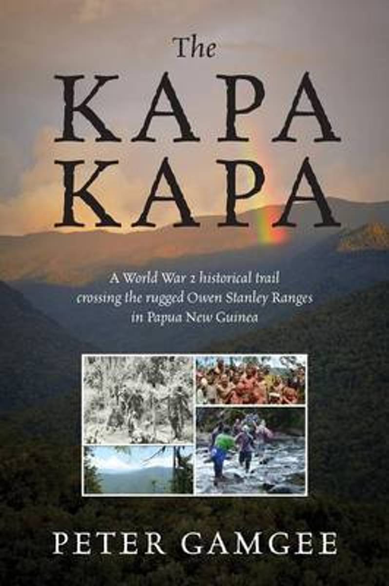
- The Kapa Kapa
- The Kapa Kapa - A tough walk in paradise. Kapa Kapa Trail - means nothing to most people, even experienced walkers. Google it and you will not be much wiser. Hence the allure for the hardy trekkers. In 1942 under General MacArthur's orders an ill equipped 2nd Battalion of the US 126th Infantry Division of the 32nd "Red Arrows" battled their way... Leer más
- Also available from:
- Bol.com, Belgium
Belgium
- The Kapa Kapa
- The Kapa Kapa - A tough walk in paradise. Kapa Kapa Trail - means nothing to most people, even experienced walkers. Google it and you will not be much wiser. Hence the allure for the hardy trekkers. In 1942 under General MacArthur's orders an ill equipped 2nd Battalion of the US 126th Infantry Division of the 32nd "Red Arrows" battled their way... Leer más
Mapas

United Kingdom
- Costa Vicentina 2-Map Set F&B WKP4
- The ”Costa Vicentina” hiking map set shows the most famous Portuguese long-distance hiking trail on a scale of 1:50,000. The entire region around the picturesque Rota Vicentina is shown in great detail on 4 sheets. Hikers will find all the important information they need to walk the Fisherman`s Trail and the Historical Trail in full or in... Leer más