
Monaghan
Descripción

County Monaghan borders on Ulster, is landlocked and has a rural character.
Senderos en estado
Enlaces
Datos
Informes
Guías y mapas
Hospedaje
Organizaciones
Operadores turísticos
GPS
Otro
Libros
Más libros…
Mapas

Stanfords
United Kingdom
United Kingdom
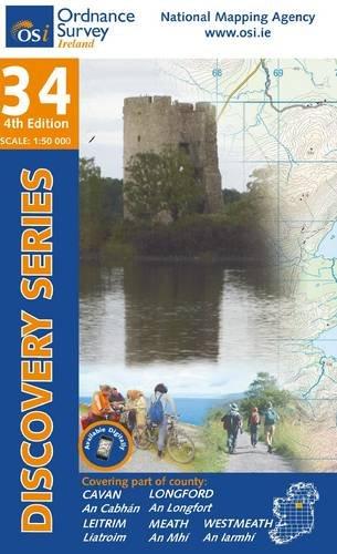
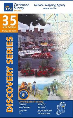
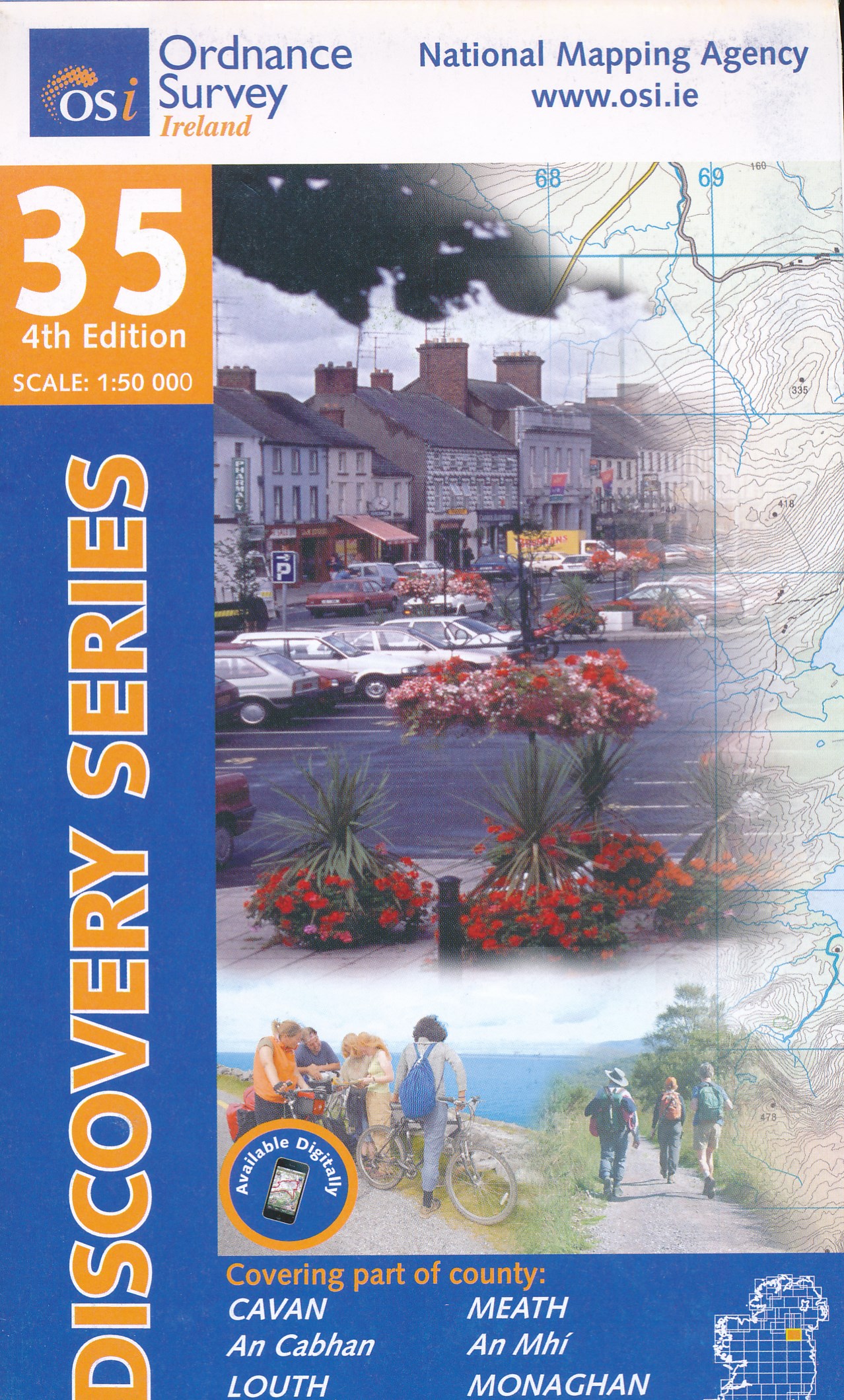
- Cavan - Louth - Meath - Monaghan OSI Discovery 35
- Map No. 35, Cavan East - Meath North in the Discovery series from the OSI, the Ordnance Survey of Ireland, which presents the country on detailed topographic maps at 1:50,000, with additional overprint highlighting campsites and caravan parks, youth hostels, etc. Current 3rd edition of this map was published in December 2011.Maps in the... Leer más
- Also available from:
- The Book Depository, United Kingdom
- De Zwerver, Netherlands
De Zwerver
Netherlands
Netherlands
- Topografische kaart - Wandelkaart 35 Discovery Cavan, Louth, Meath, Monaghan | Ordnance Survey Ireland
- Map No. 35, Cavan East - Meath North in the Discovery series from the OSI, the Ordnance Survey of Ireland, which presents the country on detailed topographic maps at 1:50,000, with additional overprint highlighting campsites and caravan parks, youth hostels, etc. Current 3rd edition of this map was published in December 2011.Maps in the... Leer más
De Zwerver
Netherlands
Netherlands
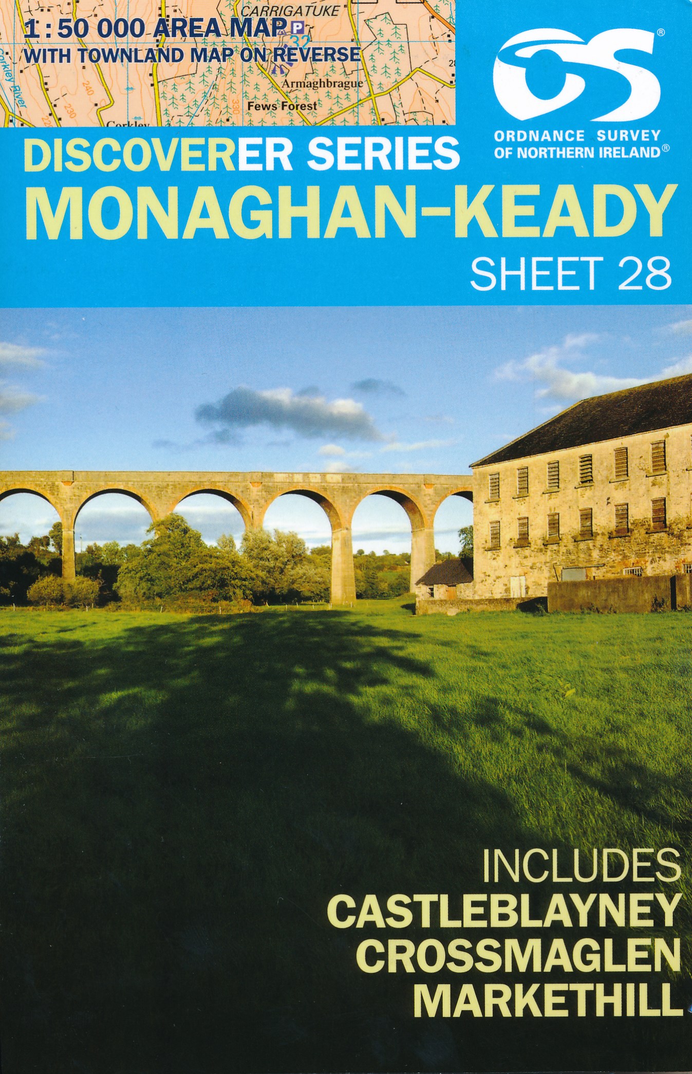
- Wandelkaart 28 Discoverer Monaghan - Keady | Ordnance Survey Northern Ireland
- Zeer gedetailleerde topografische kaart met een aantal toegevoegde toeristische symbolen voor bijv. bezienswaardigheden en campings. Met hoogtelijnen, mooi kleurgebruik Op deze kaart aanwezige plaatsen: Monoghan, Middletown, Keady, Newtownhamilton, Cullyhanna, Crossmaglen, Castleblayney, Ballybay Leer más

Stanfords
United Kingdom
United Kingdom
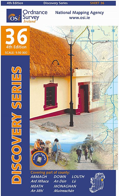
- Armagh - Down - Louth - Meath - Monaghan OSI Discovery 36
- Map No. 36, Louth in the Discovery series from the OSI, the Ordnance Survey of Ireland, which presents the country on detailed topographic maps at 1:50,000, with additional overprint highlighting campsites and caravan parks, youth hostels, etc. Current 4th edition of this title was published in February 2013.Maps in the Discovery series have... Leer más
- Also available from:
- De Zwerver, Netherlands
De Zwerver
Netherlands
Netherlands
- Topografische kaart - Wandelkaart 36 Discovery Armagh, Down, Louth, Meath, Monaghan | Ordnance Survey Ireland
- Map No. 36, Louth in the Discovery series from the OSI, the Ordnance Survey of Ireland, which presents the country on detailed topographic maps at 1:50,000, with additional overprint highlighting campsites and caravan parks, youth hostels, etc. Current 4th edition of this title was published in February 2013.Maps in the Discovery series have... Leer más