
GR52A - Panoramique du Mercantour
Descripción
- Name GR52A - Panoramique du Mercantour (GR52A)
- Distancia de sendero 230 km, 143 millas
- Duración en días 15 días
- Inicio de sendero Valle Vermenagna (I)
- Fin de sendero Colmars-les-Alpes (F)
- Clasificación Traildino SW, Caminata extenuante, sendero de montaña
- Clasificación Travesía de refugios T2, Caminata de montaña


52A
 Valle Vermenagna (Italy) - Colmars-les-Alpes, 230 km, two weeks
The popular GR52A trail traverses the National Parc Mercantour. This Alpine parc can be found in the southeastern corner of France, on the border with Italy. The trail offers both splendid mountain scenery, culture and important archeological remains.
Select some tracks
☐Le Sentier panoramique du Mercantour, 214km
Mapa

Enlaces
Datos
Informes
Guías y mapas
Hospedaje
Organizaciones
Operadores turísticos
GPS
Otro
Libros
Stanfords
United Kingdom
2020
United Kingdom
2020
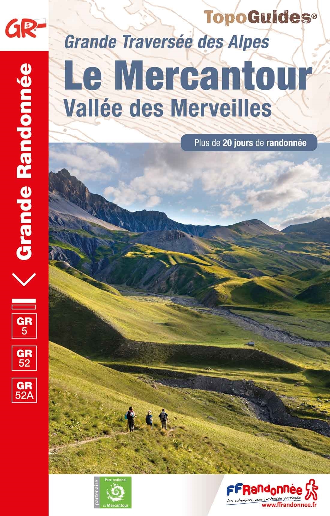
- Le Mercantour - Vallee des Merveilles GR5/GR52/52A
- Le Mercantour: Larche – Nice/Menton, Vallée des Merveilles, FFRP topoguide Ref. No. 507, covering 450km of long-distance routes: the last section of the GR5 in the French Alps from Larche to Nice, an alternative variant off GR5 along the GR52 leading via the Vallée des Merveilles to Menton, plus GR52A – Panoramique du Mecantour from Col du... Leer más
Más libros…
