
GR400 - Volcans du Cantal
Descripción
- Name GR400 - Volcans du Cantal (GR400)
- Distancia de sendero 185 km, 115 millas
- Duración en días 9 días
- Inicio de sendero Murat
- Fin de sendero Murat
- Clasificación Traildino MW, Caminata moderada, sendero de mochileros
- Clasificación Travesía de refugios T1, Caminata


400
 Volcans du Cantal, around Puy Mary – 5 days
Beautiful region, green mountains, forests, desolate. The countryside is typical for the Massif Central. Highest point is Blomb du Cantal, 1858m, an old stratovolcano with a diameter of 70 km!
Select some tracks
Mapa

Enlaces
Datos
Informes
Guías y mapas
Hospedaje
Organizaciones
Operadores turísticos
GPS
Otro
Libros

Stanfords
United Kingdom
2019
United Kingdom
2019
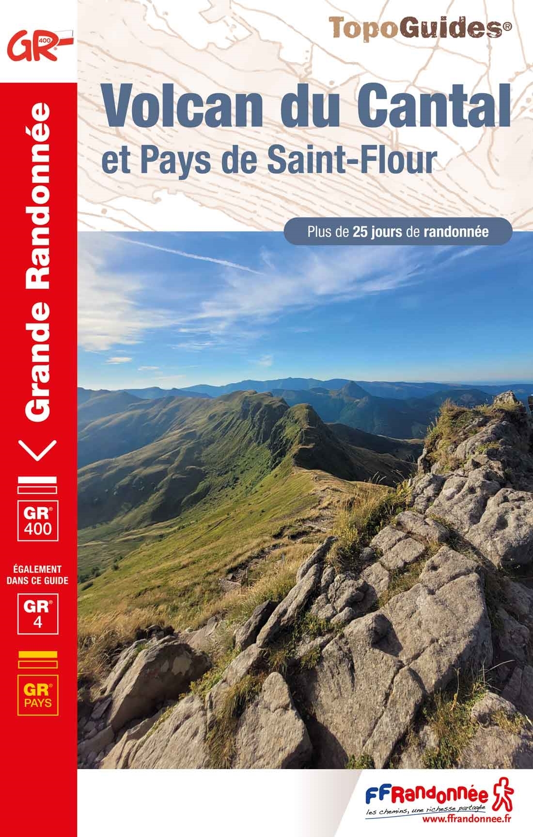
- Volcan du Cantal - Pays de Saint-Flour - Haute-Auvergne GR400/4
- Volcan du Cantal: Pays de Saint-Flour et de Ruynes-en-Margeride, FFRP topoguide, Ref. No. 400, covering 600kms of long-distance paths in the Cantal region of the Massif Central, which can also be walked as shorter circuits. Current edition of this title was published in July 2013.To see other titles in this series please click on the series... Leer más
Stanfords
United Kingdom
2021
United Kingdom
2021
- Volcan du Cantal et Pays de Saint-Flour - Haute-Auvergne GR400/4
- Volcan du Cantal: Pays de Saint-Flour et de Ruynes-en-Margeride, FFRP topoguide, Ref. No. 400, covering 600kms of long-distance paths in the Cantal region of the Massif Central, which can also be walked as shorter circuits. Current edition of this title was published in July 2013.To see other titles in this series please click on the series... Leer más
- Also available from:
- The Book Depository, United Kingdom

De Zwerver
Netherlands
2017
Netherlands
2017
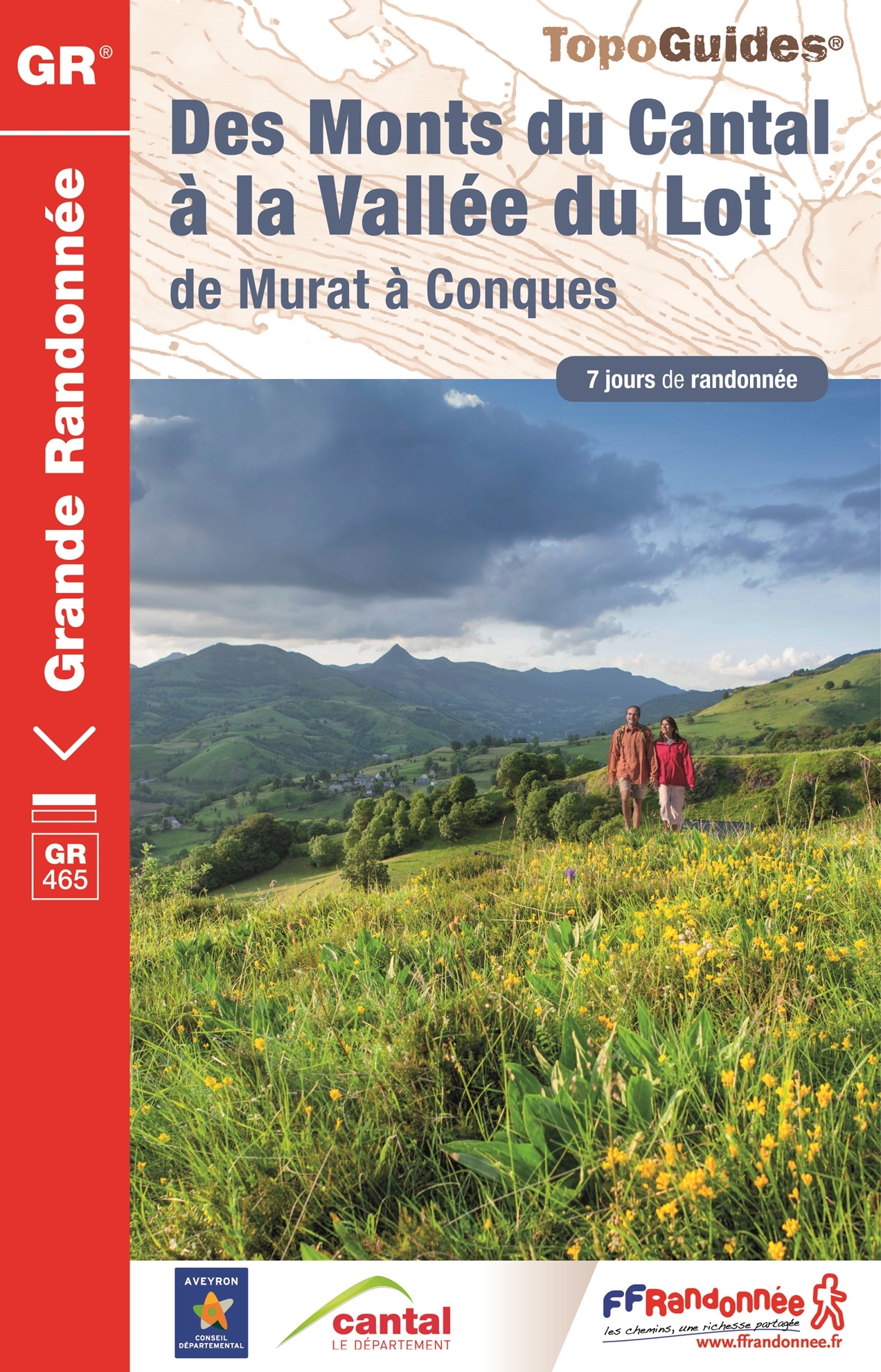
- Wandelgids 465 Des Monts du Cantal à la vallée du Lot GR465 | FFRP
- Uitstekende wandelgids met gedetailleerde kaarten en een routebeschrijving. Fout lopen wordt op deze manier wel erg moeilijk. Met symbolen is weergegeven welke voorzieningen (openbaar vervoer / winkels / overnachtingen) er zijn langs of bij de route. Een nadeel is dat de daadwerkelijke adressen dan weer niet altijd genoemd worden. Alle gidsen... Leer más
De Zwerver
Netherlands
2023
Netherlands
2023
Mapas

Stanfords
United Kingdom
United Kingdom
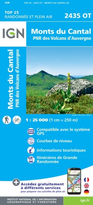
- Monts du Cantal - PNR des Volcans d`Auvergne IGN 2435OT
- Topographic survey of France at 1:25,000 in IGN`s excellent TOP25 / Série Bleue series. All the maps are GPS compatible, with a 1km UTM grid plus latitude and longitude lines at 5’ intervals. Contours are at 5m intervals except for mountainous areas where the maps have contours at 10m intervals, vividly enhanced by hill shading and graphics for... Leer más
- Also available from:
- The Book Depository, United Kingdom
- De Zwerver, Netherlands

De Zwerver
Netherlands
Netherlands

Stanfords
United Kingdom
United Kingdom
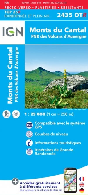
- Monts du Cantal - PNR des Volcans d`Auvergne IGN WATERPROOF 2435OTR
- Topographic survey of France at 1:25,000 in IGN`s excellent TOP25 / Série Bleue series. All the maps are GPS compatible, with a 1km UTM grid plus latitude and longitude lines at 5’ intervals. Contours are at 5m intervals except for mountainous areas where the maps have contours at 10m intervals, vividly enhanced by hill shading and graphics for... Leer más
- Also available from:
- The Book Depository, United Kingdom

Stanfords
United Kingdom
United Kingdom
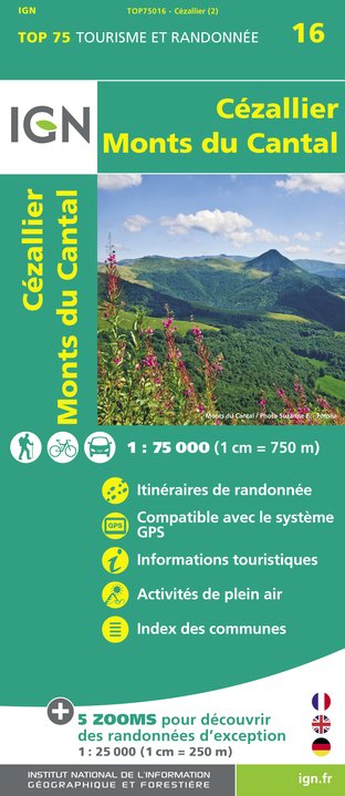
- Cézallier - Monts du Cantal IGN 75016
- Cézallier - Monts du Cantal region in a series of GPS compatible, contoured TOP 75 maps at 1:75,000 from the IGN, highlighting local and long-distance hiking paths, cycling routes and sites for other recreational activities. The map includes five large panels showing the areas around Lac de Lastioulles, Col de Néronne, la Godivelle, Puy Mary,... Leer más
- Also available from:
- De Zwerver, Netherlands
De Zwerver
Netherlands
Netherlands
- Wandelkaart - Fietskaart 16 Cézallier - Monts du Cantal | IGN - Institut Géographique National
- Une carte générale de très grande lisibilité au 1/75 000 + 5 extraits de TOP25 au 1/25 000 en une seule carte ! Leer más