
Bauges
Descripción

The Bauges Mountains, Massif des Bauges, is an Alpine range in France, between Annecy and Chambéry, south of Lake Geneva. Highest summit is Arcalod, 2.217 m.
Mapa

Senderos en región
Enlaces
Datos
Informes
Guías y mapas
Hospedaje
Organizaciones
Operadores turísticos
GPS
Otro
Libros

Stanfords
United Kingdom
2015
United Kingdom
2015
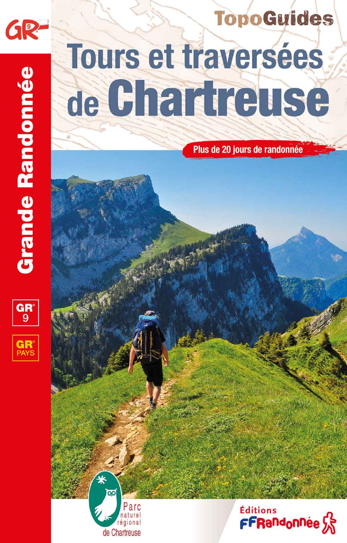
- GR9/GR96/GRP: Tours et Traversées de Chartreuse FFRP Topo-guide No. 903
- Tours et Traversées de Chartreuse, FFRP topoguide Ref. no. 903, covering 385kms of routes along the GR9 and GR96 in the northern part of the French Alps between Culoz, Chambéry and Grenoble. Current edition of this title was published in May 2015.ABOUT THE FFRP (Fédération française de la randonnée pédestre) TOPOGUIDES: published in a handy A5... Leer más
Bol.com
Netherlands
Netherlands
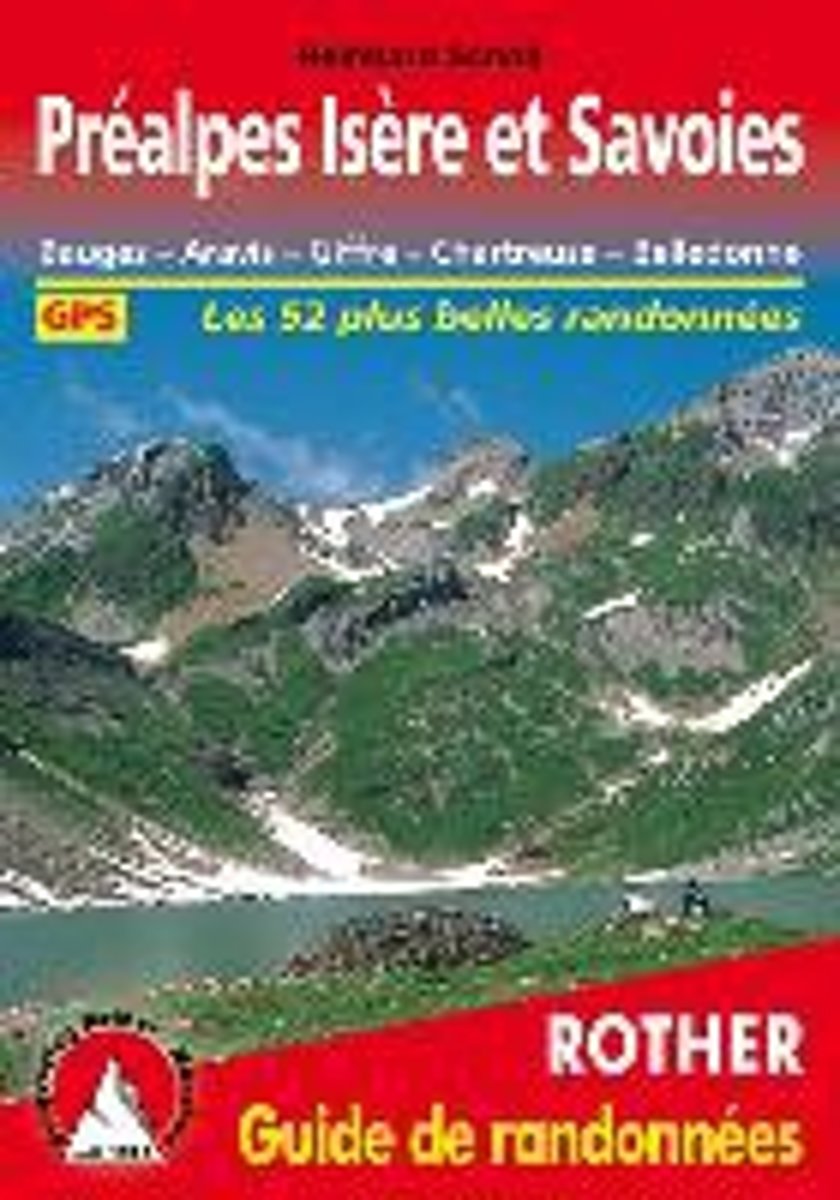
- Pr alpes Is re et Savoies
- Bauges - Aravis - Giffre - Chartreuse - Belledonne. Les 52 plus belles randonnées. GPS Leer más
- Also available from:
- Bol.com, Belgium
Bol.com
Belgium
Belgium
- Pr alpes Is re et Savoies
- Bauges - Aravis - Giffre - Chartreuse - Belledonne. Les 52 plus belles randonnées. GPS Leer más
De Zwerver
Netherlands
2022
Netherlands
2022
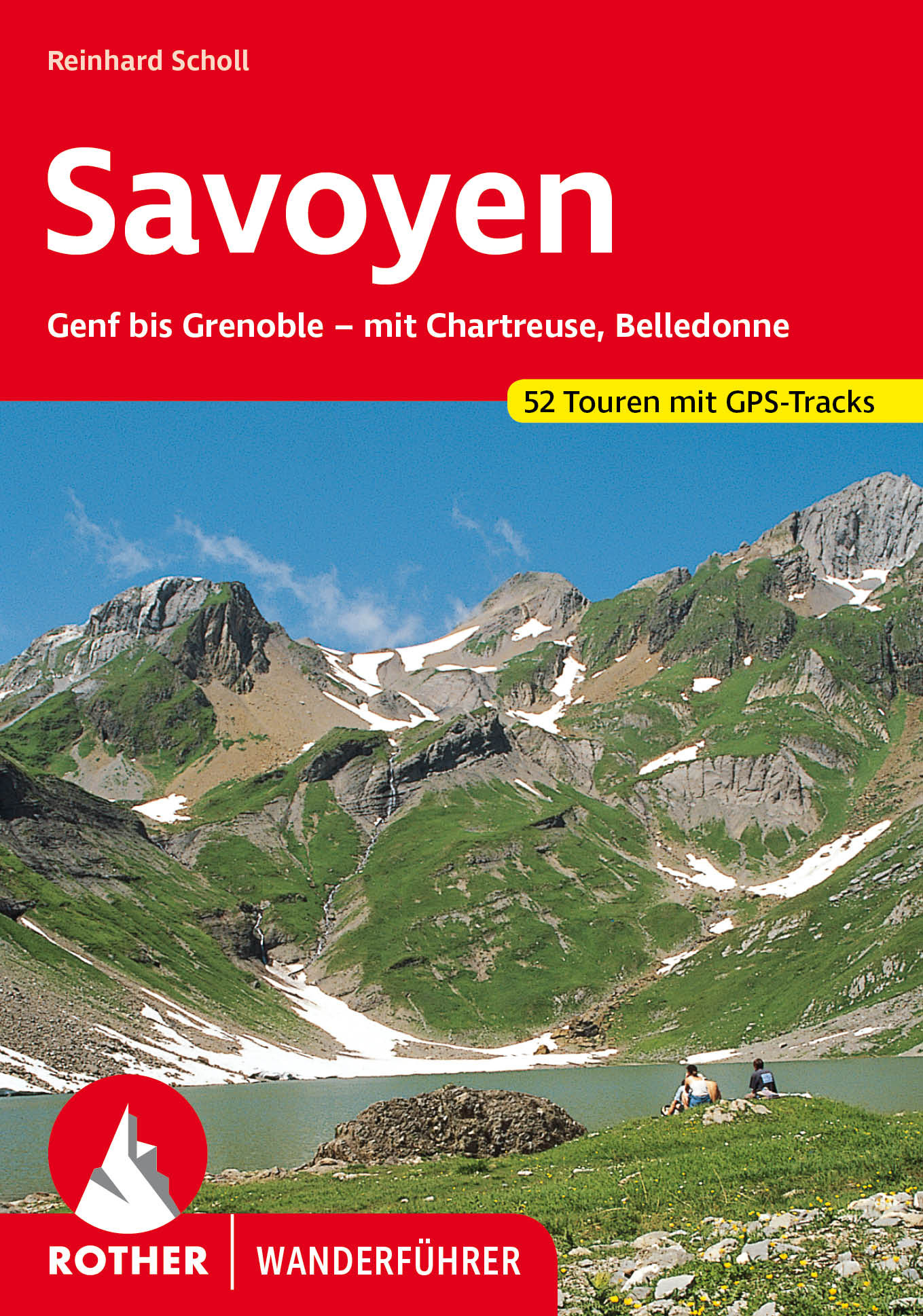
- Wandelgids 84 Savoie - Savoyen | Rother Bergverlag
- Uitstekende wandelgids met een groot aantal dagtochten in dal en hooggebergte. Met praktische informatie en beperkt kaartmateriaal! Wandelingen in verschillende zwaarte weergegeven in rood/blauw/zwart. Savoyen, zwischen Genfer See und Grenoble, ist ein Wandergebiet par excellence, ein Gebiet, in dem das tiefe Grün der Wälder mit dem sanften... Leer más
De Zwerver
Netherlands
2024
Netherlands
2024
De Zwerver
Netherlands
2024
Netherlands
2024
Mapas

Stanfords
United Kingdom
United Kingdom
- Massif des Bauges Parc Naturel Régional IGN 83308
- Massif des Bauges Parc Naturel Régional at 1:50,000 on a special tourist map produced by the IGN in cooperation with the park authorities. This popular hiking area in foothills of the French Alps is bounded by Annecy and Lake Annecy, Aix-les-Bains with Lac du Bourget, Chambéry, Albertville and Ugine. The map has contours at 50m intervals... Leer más

Stanfords
United Kingdom
United Kingdom
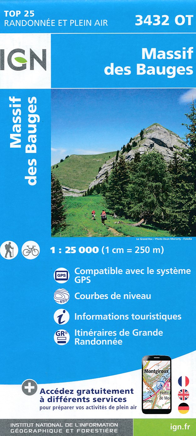
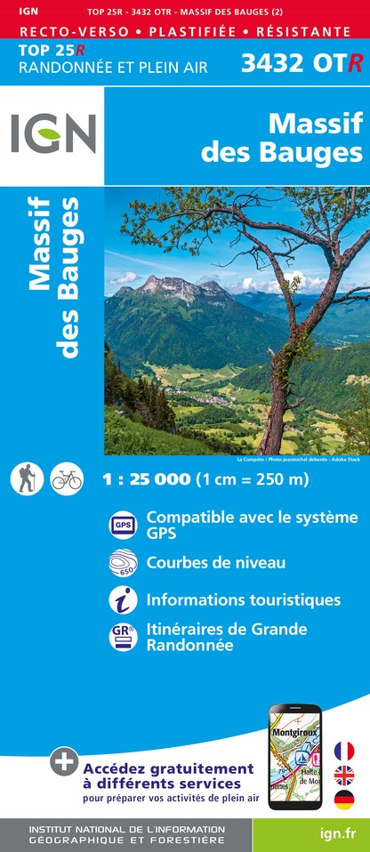
- Massif des Bauges IGN 3432OT
- Topographic survey of France at 1:25,000 in IGN`s excellent TOP25 / Série Bleue series. All the maps are GPS compatible, with a 1km UTM grid plus latitude and longitude lines at 5’ intervals. Contours are at 5m intervals except for mountainous areas where the maps have contours at 10m intervals, vividly enhanced by hill shading and graphics for... Leer más
- Also available from:
- De Zwerver, Netherlands


Stanfords
United Kingdom
2020
United Kingdom
2020
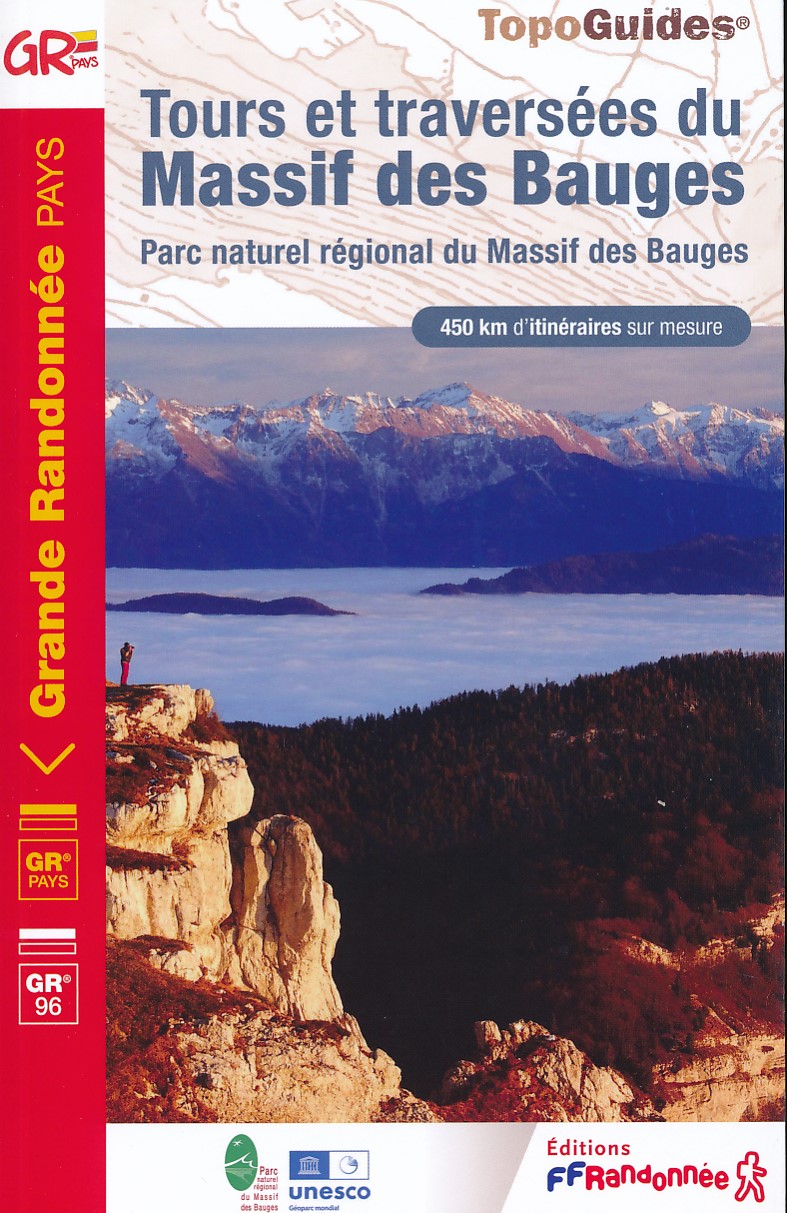
- Tours et Traversées du Massif des Bauges GR96
- Tours et Traversées du Massif des Bauges, FFRP topoguide Ref. no. 902, covering 500kms of routes in the French Alps between Annecy, Aix-les-Bains, Chambéry and Albertville. Current edition of this title was published in May 2015.ABOUT THE FFRP (Fédération française de la randonnée pédestre) TOPOGUIDES: published in a handy A5 paperback format,... Leer más
- Also available from:
- The Book Depository, United Kingdom

The Book Depository
United Kingdom
2020
United Kingdom
2020
- Tour et travers�es du Massif des Bauges GR96/GRP
- Tours et Traversées du Massif des Bauges, FFRP topoguide Ref. no. 902, covering 500kms of routes in the French Alps between Annecy, Aix-les-Bains, Chambéry and Albertville. Current edition of this title was published in May 2015.ABOUT THE FFRP (Fédération française de la randonnée pédestre) TOPOGUIDES: published in a handy A5 paperback format,... Leer más

Stanfords
United Kingdom
United Kingdom
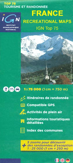
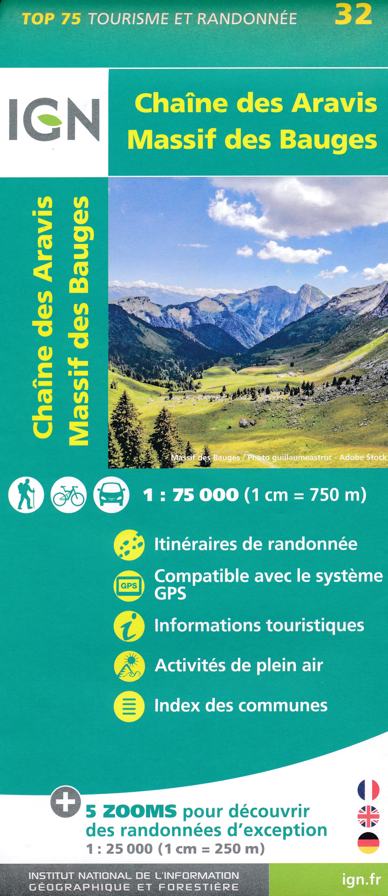
- Chaine des Aravis - Massif des Bauges IGN 75032
- Chaîne des Aravis - Massif des Bauges region of French Alps in a series of GPS compatible, contoured TOP 75 maps at 1:75,000 from the IGN, highlighting local and long-distance hiking paths, cycling routes and sites for other recreational activities. The map includes five large panels showing the areas around la Grande Balmaz, Mont Colombier, la... Leer más
- Also available from:
- The Book Depository, United Kingdom
- De Zwerver, Netherlands
The Book Depository
United Kingdom
United Kingdom
- Cha�ne des Aravis / Massif des Bauges
- Chaîne des Aravis - Massif des Bauges region of French Alps in a series of GPS compatible, contoured TOP 75 maps at 1:75,000 from the IGN, highlighting local and long-distance hiking paths, cycling routes and sites for other recreational activities. The map includes five large panels showing the areas around la Grande Balmaz, Mont Colombier, la... Leer más
De Zwerver
Netherlands
Netherlands
- Fietskaart - Wandelkaart 32 Chaine des Aravis - Massif des Bauges | IGN - Institut Géographique National
- Chaîne des Aravis - Massif des Bauges region of French Alps in a series of GPS compatible, contoured TOP 75 maps at 1:75,000 from the IGN, highlighting local and long-distance hiking paths, cycling routes and sites for other recreational activities. The map includes five large panels showing the areas around la Grande Balmaz, Mont Colombier, la... Leer más

- Also available from:
- De Zwerver, Netherlands
Bol.com
Netherlands
Netherlands
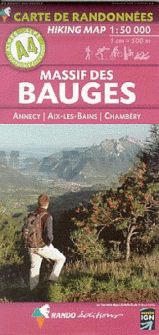
- Massif Des Bauges, Annecy, Aix-Les-Bains, Chambery
- Cette série de cartes est réalisée sur la base des fonds topographiques de l'Institut national de l'information géographique et forestière, avec surimpression des itinéraires de randonnées et de promenades à pied, à ski, à VTT.Localisation des refuges gardés, gîtes d'étape, Rando'Plume, campings, zones de bivouac, indications d'ordre... Leer más
- Also available from:
- Bol.com, Belgium
Bol.com
Belgium
Belgium
- Massif Des Bauges, Annecy, Aix-Les-Bains, Chambery
- Cette série de cartes est réalisée sur la base des fonds topographiques de l'Institut national de l'information géographique et forestière, avec surimpression des itinéraires de randonnées et de promenades à pied, à ski, à VTT.Localisation des refuges gardés, gîtes d'étape, Rando'Plume, campings, zones de bivouac, indications d'ordre... Leer más
De Zwerver
Netherlands
2019
Netherlands
2019
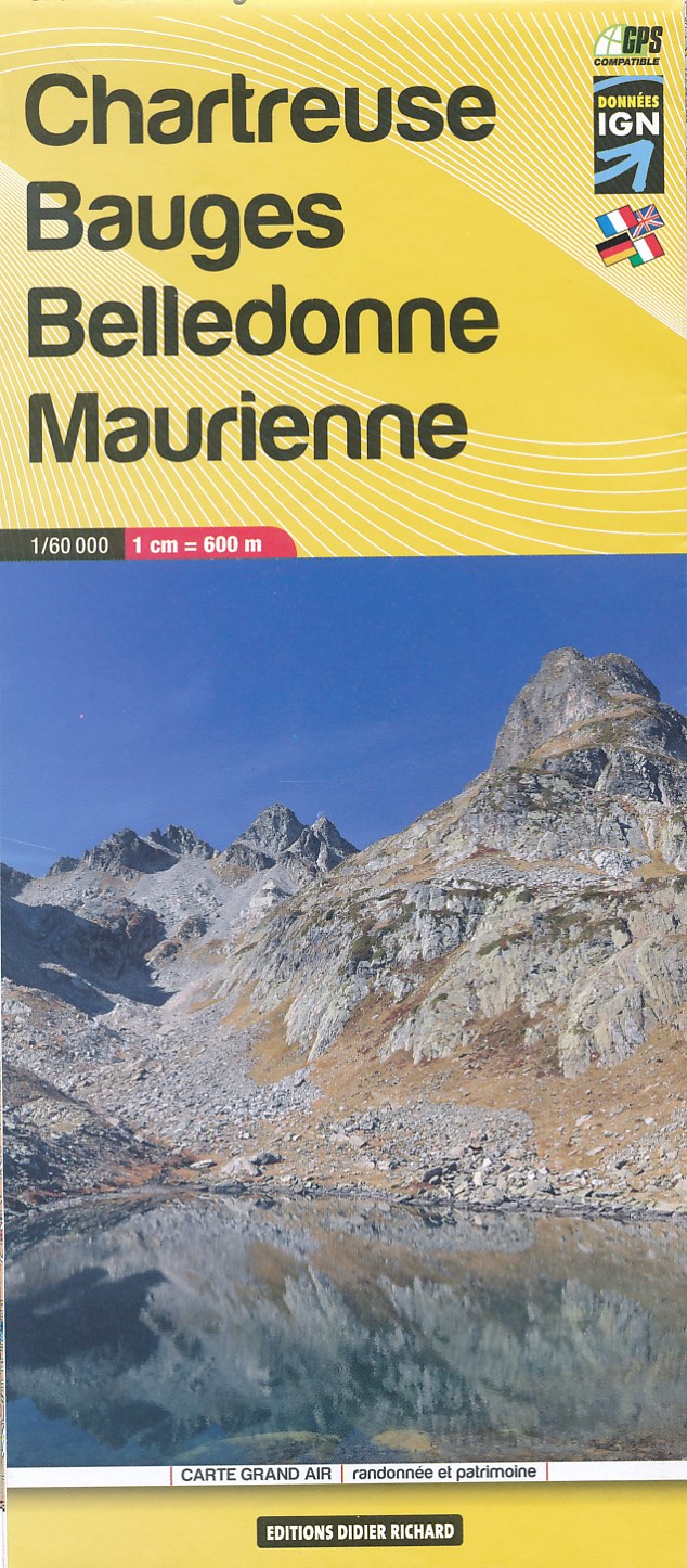
- Wandelkaart 03 Chartreuse - Bauges - Belledonne - Maurienne | Didier Richard
- Des cartes du 1:35 000 au 1:60 000, sur fond IGN, enrichies d'informations touristiques et de randonnée (itinéraires pédestres, centres VTT-FFC, via ferrata, patrimoine historique, lieux touristiques, coordonnées utiles)Partez à la découverte de ces territoires où il fait bon séjourner ! Leer más