Als (Island)
Descripción
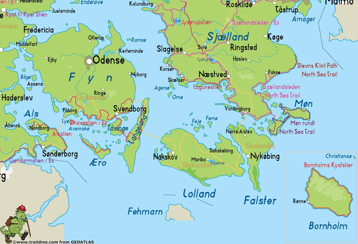
Mapa
Senderos en región
Enlaces
Datos
Informes
Guías y mapas
Hospedaje
Organizaciones
Operadores turísticos
GPS
Otro
Libros

Stanfords
United Kingdom
United Kingdom
- Istria Kompass 238
- Istria at 1:75,000 on a double-sided, waterproof and tear-resistant, detailed contoured map from Kompass, with hiking and cycling routes, street plans of 10 main towns, plus tourist information. Coverage extends north beyond the Croatian border to include Trieste and the coast of Slovenia. Contours at 50m intervals and spot heights present the... Leer más
Más libros…
Mapas

Stanfords
United Kingdom
United Kingdom
- Monastry Circuit Trail
- The Monastery Trail south of Lukla at 1:100,000 in the Nepa Maps series which provides extensive coverage of trekking areas of Nepal on detailed contoured maps with trekking routes and hiking trails, huts and camp sites, local places of interest and other tourist information.The map covers an area from Namche Bazar southwards along the Dudh... Leer más

Stanfords
United Kingdom
United Kingdom
- Central Rhodopes / Rodopi Geopsis 132
- Central Rhodopes Mountains on the border of north-eastern Greece and Bulgaria on a waterproof and tear-resistant, contoured and GPS compatible map from Geopsis highlighting nine recommended hiking trails and the local section of the E6 cross-Europe long-distance route. All place names are in both Greek and Latin alphabet, with several villages... Leer más

Stanfords
United Kingdom
United Kingdom
- Eastern Rhodopes / Rodopi Geopsis 131
- Eastern Rhodopes Mountains on the border of north-eastern Greece and Bulgaria on a waterproof and tear-resistant, contoured and GPS compatible map from Geopsis highlighting nine recommended hiking trails and the local section of the E6 cross-Europe long-distance route. All place names are in both Greek and Latin alphabet, with several villages... Leer más

Stanfords
United Kingdom
United Kingdom
- Western Rhodopes / Rodopi - Falakro Geopsis 133
- Central Rhodopes Mountains on the border of north-eastern Greece and Bulgaria on a waterproof and tear-resistant, contoured and GPS compatible map from Geopsis highlighting nine recommended hiking trails and the local section of the E6 cross-Europe long-distance route. All place names are in both Greek and Latin alphabet, with several villages... Leer más

Stanfords
United Kingdom
United Kingdom
- Istria K+F Outdoor Map
- Istria at 1:75,000 on a double-sided, durable, waterproof and tear-resistant, GPS compatible recreational map from Kümmerly + Frey, with street plans of Pula, Rovinj, Opatija, Umag, Novigrad, Porec and Vrsar. Topography is indicated by contours at 50m intervals, with relief shading and colouring for woodlands. Road network includes small local... Leer más

Stanfords
United Kingdom
2012
United Kingdom
2012
- Valia Kalda - Vasilitsa Anavasi 6.4
- Pindos: Valia Kalda - Vasilitsa area at 1:50,000in a series of waterproof and tear-resistant hiking maps from Anavasi with a UTM grid for GPS users. The map covers part of the northern Pindus highlands, extending northwards from Metsovo to well beyond Smixi, ski centre on the northern slpes of Mt. Vasilitsa. With Samarina on its western margin... Leer más

Stanfords
United Kingdom
United Kingdom
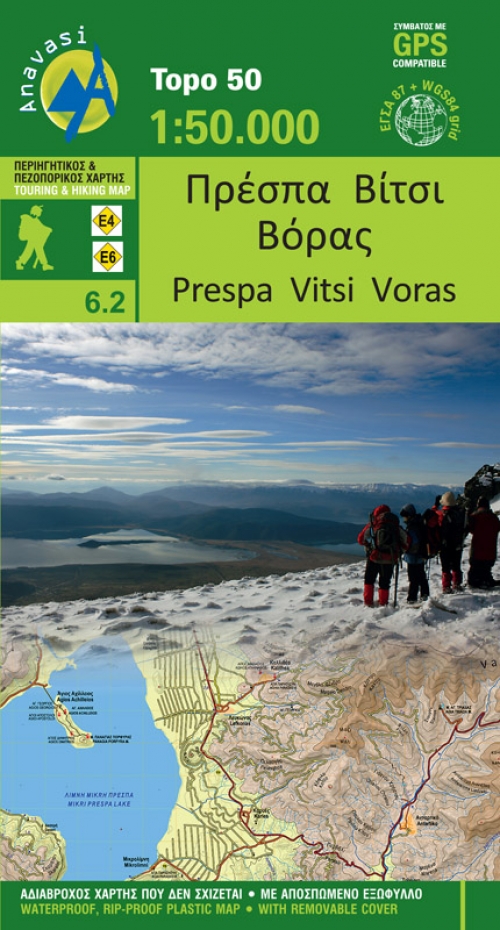
- Prespa - Vitsi - Voras Anavasi 6.2
- Prespa - Vitsi – Voras area of northern Greece at 1:50,000 on a light, waterproof and tear-resistant, GPS compatible, contoured map from Anavasi, with recommendations for three hiking trails and notes on the E4 and E6 cross-European trails. The map is double-sided; coverage in the west starts from the Prespa Lake on the border with Albania and... Leer más
- Also available from:
- The Book Depository, United Kingdom
- De Zwerver, Netherlands

The Book Depository
United Kingdom
United Kingdom
- Prespa - Vitsi - Voras
- Uitstekende topografische kaarten van een deel van Griekenland: zonder meer hele goede kaarten voor wandeltochten in een onbekend stuk Griekenland! Ze zijn gedrukt op scheurvast en watervast papier op een schaal van 1:50.000 met een UTM grid voor GPS gebruikers. Op de meeste kaarten is geven de hoogtelijnen een interval van 20m. aan. Met... Leer más
De Zwerver
Netherlands
Netherlands
- Wandelkaart 6.2 Prespa - Vitsi - Voras | Anavasi
- Uitstekende topografische kaarten van een deel van Griekenland: zonder meer hele goede kaarten voor wandeltochten in een onbekend stuk Griekenland! Ze zijn gedrukt op scheurvast en watervast papier op een schaal van 1:50.000 met een UTM grid voor GPS gebruikers. Op de meeste kaarten is geven de hoogtelijnen een interval van 20m. aan. Met... Leer más
Bol.com
Netherlands
Netherlands
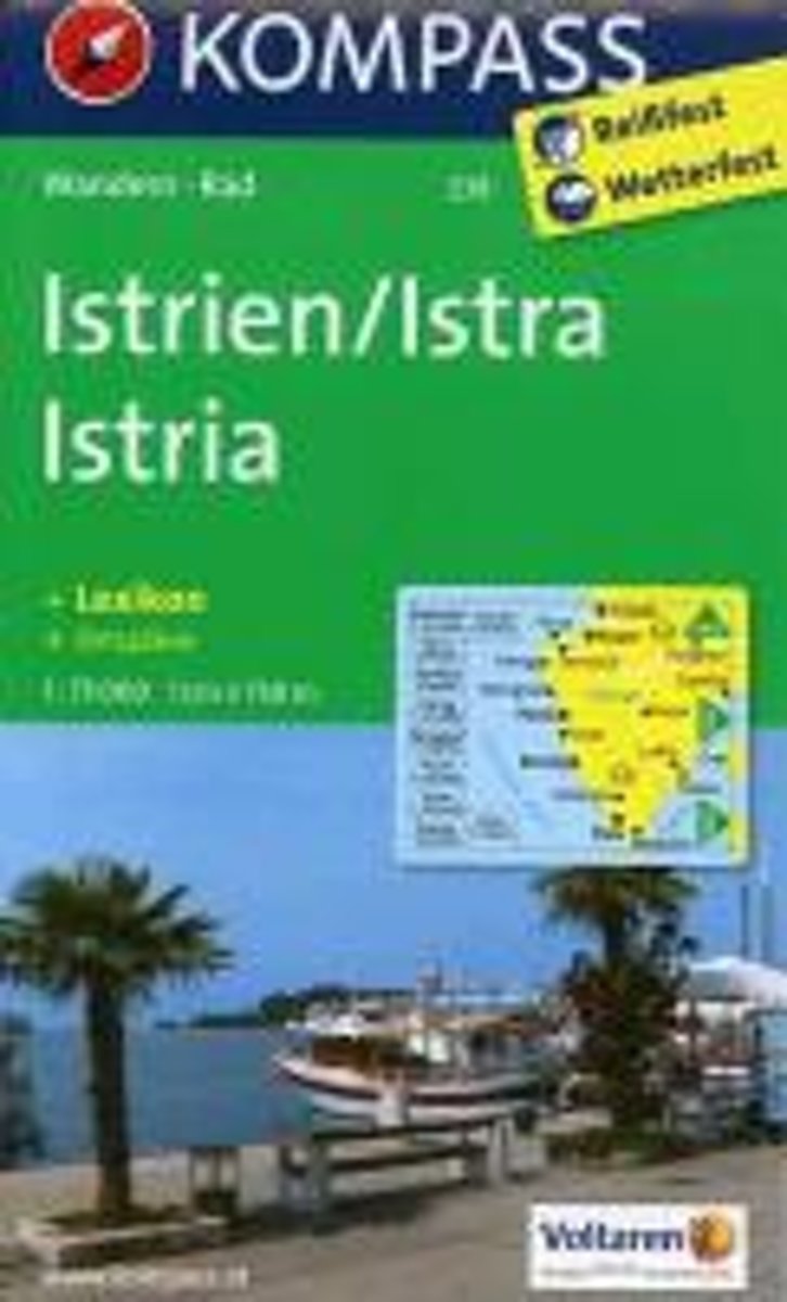
- Istrië WK238
- Toeristische kaart voor wandelen, fietsen en vrije tijd met activiteitengids en stadsplattegronden • goed leesbare schaal van 1:75 000 • te gebruiken met GPS • met praktische informatie over de regio • wandel- en fietspaden • aanbevolen routes • kastelen • uitzichtpunten • stranden en baaien • toeristische informatie • veel topografische... Leer más
- Also available from:
- Bol.com, Belgium

Bol.com
Belgium
Belgium
- Istrië WK238
- Toeristische kaart voor wandelen, fietsen en vrije tijd met activiteitengids en stadsplattegronden • goed leesbare schaal van 1:75 000 • te gebruiken met GPS • met praktische informatie over de regio • wandel- en fietspaden • aanbevolen routes • kastelen • uitzichtpunten • stranden en baaien • toeristische informatie • veel topografische... Leer más
De Zwerver
Netherlands
Netherlands
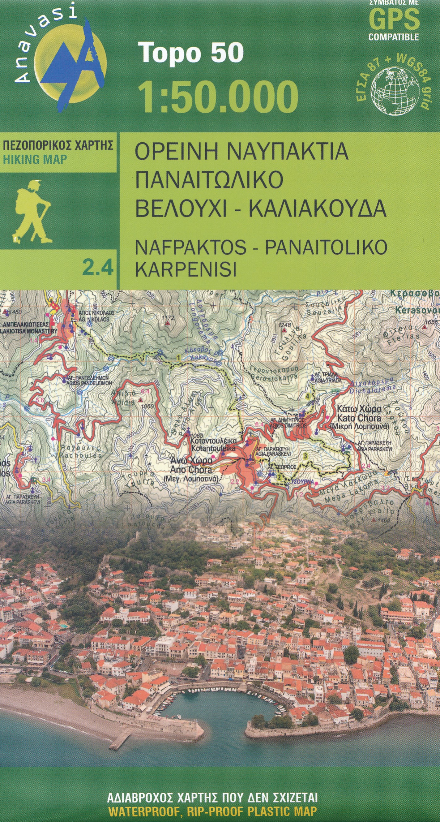
- Wandelkaart 2.4 Nafpaktos - Panaitoliko - Karpenisi | Anavasi
- Prespa - Vitsi – Voras area of northern Greece at 1:50,000 on a light, waterproof and tear-resistant, GPS compatible, contoured map from Anavasi, with recommendations for three hiking trails and notes on the E4 and E6 cross-European trails. The map is double-sided; coverage in the west starts from the Prespa Lake on the border with Albania and... Leer más


