
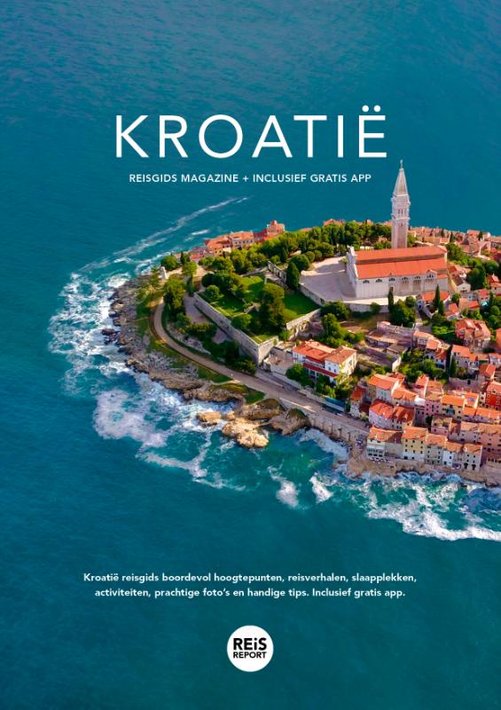
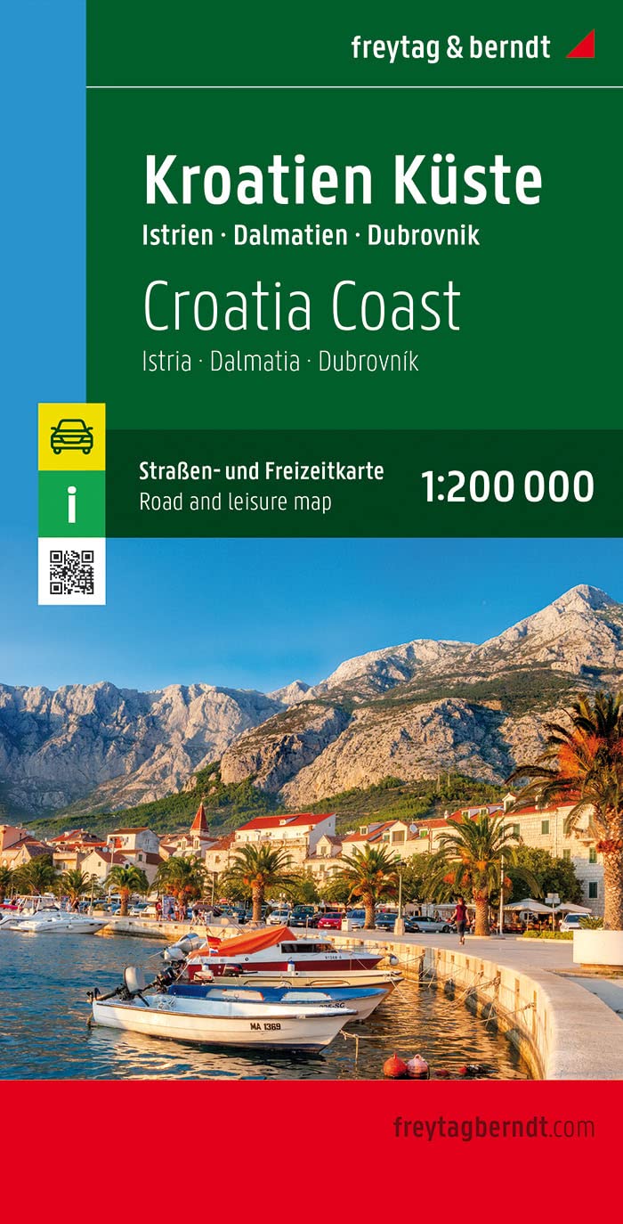
Croacia
Descripción
 Although renowned for its sunny beaches, Croatia does not make haste establishing long distance hiking trails. European long distance trails E6 and E7 are planned to run through Croatia, but hiking enthousiasts will find little more than a dotted line on the map to show where the trail is supposed to come.
So skip Croatia? No, certainly not. The country offers some outstanding mountain landscapes, with towering karst formations, white rocks in polished formations and deep crags. They are part of the Dinaric Alps and typical for Croatia. In between the limestone ranges are forests, and green slopes covered in snow until spring, when the crocuses start to bloom. This makes for some lovely walking, also because temperatures are still agreeable at this time of year. The mountains are not very high. Mount Croatia Dinara is the highest at 1831m, a large dry outcrop surrounded by wilderness.
Walking the mountains is a popular local pastime. The Croatians will tell you where to go and how to find the best mountain huts. There are numerous great 2- or 3-day hikes. Many trails are well kept and marked profusely in red and white. Most popular are the Velebit range, and Paklenica with its bizarre limestone rocks and peaks up to 1750m high.
Don't forget the Adriatic Sea coast with its many islands. These are easy to reach, often interconnected and differ considerably one from the other. Hiking Rab, Pag and Vis is fun, but beware: one hiker stepped on a landmine not long ago, so keep away from any military grounds. Spring and autumn are the best seasons, particularly in these low parts, because summer can get very hot. If you want to go in summer anyway, start out early and carry lots of drinking water.
Senderos
Regiones


Enlaces
Datos
Informes
Guías y mapas
Hospedaje
Organizaciones
Operadores turísticos
GPS
Otro
Libros

United Kingdom
2022
- Also available from:
- De Zwerver, Netherlands

United Kingdom
- Moon Croatia & Slovenia: With Montenegro (Fourth Edition)
- Beaches & Waterfalls, Coastal Drives, Castles & Ruins Leer más

United Kingdom
- Beyond The Beaches
- Your Ultimate Croatia Travel Guide (An Insider's Guide to Croatia's Hidden Gems) Leer más

- Also available from:
- De Zwerver, Netherlands
Netherlands
2014
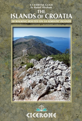
- Wandelgids Islands of Croatia | Cicerone
- This guidebook describes 30 day walks on the islands of the Croatian Adriatic, ranging from short, easy coastal strolls to more challenging, full day outings over rocky ridges and summits, with spectacular views of the Dalmatian coast. Featuring routes on 14 Croatian islands, including the islands of Hvar and Mljet, as well as quieter islands. Leer más

United Kingdom
2019
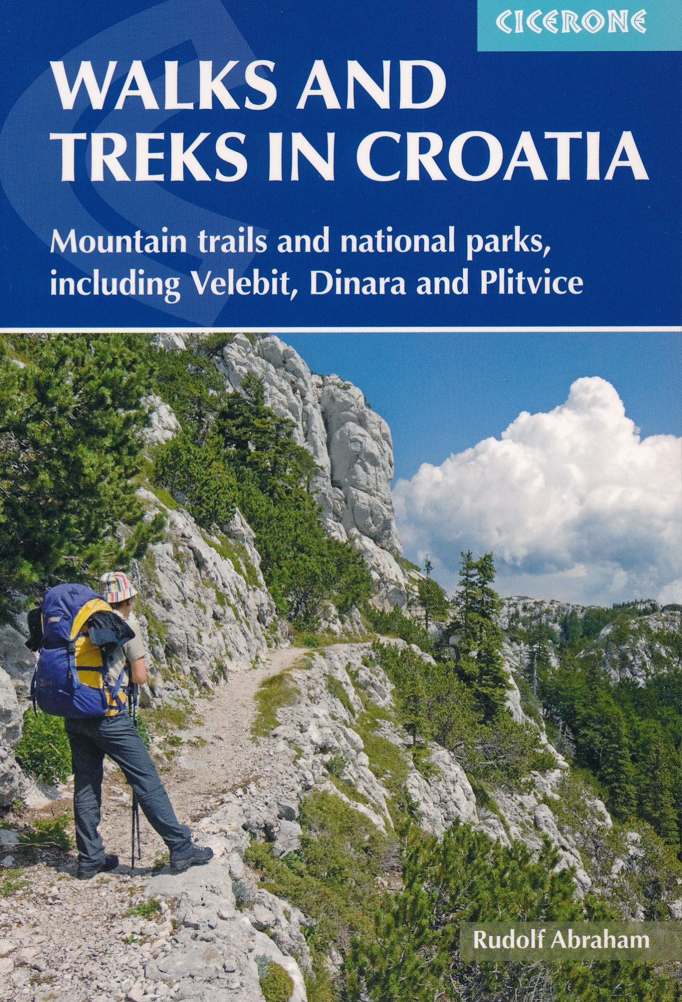
- Walks and Treks in Croatia
- mountain trails and national parks, including Velebit, Dinara and Plitvice Leer más
- Also available from:
- De Zwerver, Netherlands
Netherlands
2019
- Wandelgids Walks and treks in Croatia - Kroatië | Cicerone
- This guide describes day walks and treks in all Croatia's main hiking areas and national parks on the mainland, from the forested hills around Zagreb, to the roof of Croatia on the Bosnian border, and the national parks of Northern Velebit, Paklenica, Risnjak, UNESCO-listed Plitvice Lakes and more. Leer más

United Kingdom
- Complete Travel Guide to Croatia
- Things You Must Know Before Visiting Croatia Leer más
Netherlands
2012
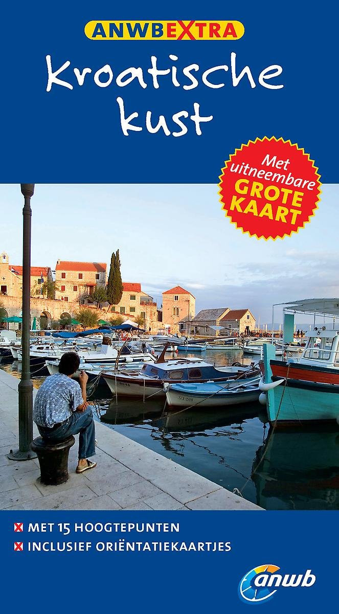
- ANWB extra - Kroatische kust
- Dé compacte reisgids Kroatische kust. Met handige uitneembare kaart.Met de ANWB Extra reisgids Kroatische kust hebt u een handzame reisgezel. "Bezoek de kathedraal van Sibenik of wandel in het bijzondere Hvar-Stad." In deze reisgids Kroatische kust staat actuele informatie over bezienswaardigheden, café's, hotels, de lokale keuken, winkelen en... Leer más
- Also available from:
- Bol.com, Belgium
Belgium
2012
- ANWB extra - Kroatische kust
- Dé compacte reisgids Kroatische kust. Met handige uitneembare kaart.Met de ANWB Extra reisgids Kroatische kust hebt u een handzame reisgezel. "Bezoek de kathedraal van Sibenik of wandel in het bijzondere Hvar-Stad." In deze reisgids Kroatische kust staat actuele informatie over bezienswaardigheden, café's, hotels, de lokale keuken, winkelen en... Leer más
Netherlands
- Finding Henry
- No reservations, no money, no problem!Directionless and depressed after leaving the blissful cocoon of college, Rebecca Patrick was finding herself at a loss in the “real world.” Her friends had scattered to the winds, jobs were hard to come by in her mountain town, and her difficult relationship with her boyfriend was disillusioning.... Leer más
- Also available from:
- Bol.com, Belgium
Belgium
- Finding Henry
- No reservations, no money, no problem!Directionless and depressed after leaving the blissful cocoon of college, Rebecca Patrick was finding herself at a loss in the “real world.” Her friends had scattered to the winds, jobs were hard to come by in her mountain town, and her difficult relationship with her boyfriend was disillusioning.... Leer más
Netherlands
2018
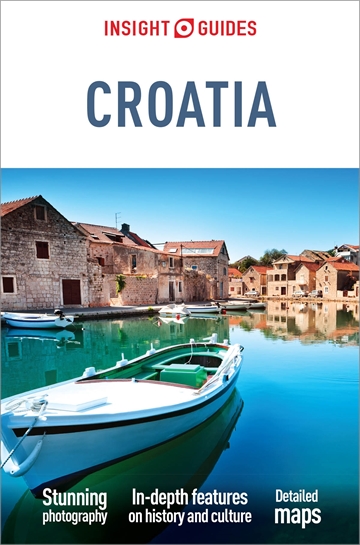
- Reisgids Croatia - Kroatië | Insight Guides
- Een rijk geillustreerde reisgids met diepgaande teksten: één van de beste reisgidsen die er bestaan. Eerste deel bestaat uit een beschrijving van de unieke aspecten van de regio, daarna een deel echte reisgids en als afsluiting een deel met praktische informatie. De uitstekende informatie wordt vergezeld van prachtige foto's en heldere kaarten.... Leer más
Netherlands
2016
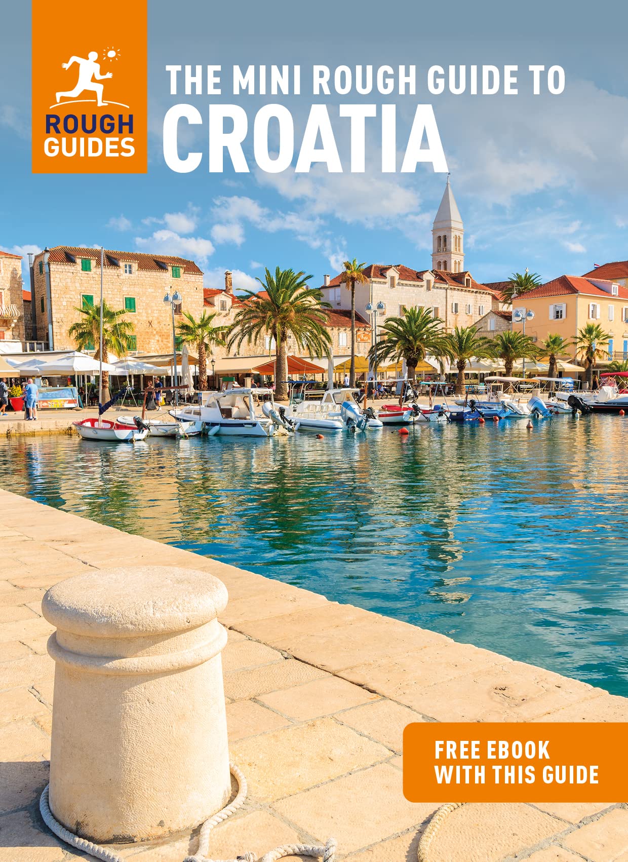
- Rough Guide - Croatia
- The Rough Guide to Croatia is the ultimate travel guide to one of Mediterranean Europe's most beautiful and unspoiled countries.This full-color guide includes reliable and comprehensive coverage of all the sights and attractions, from walking a circuit of Dubrovnik's city walls to exploring the labyrinthine streets of Split to savoring the... Leer más
- Also available from:
- Bol.com, Belgium
Belgium
2016
- Rough Guide - Croatia
- The Rough Guide to Croatia is the ultimate travel guide to one of Mediterranean Europe's most beautiful and unspoiled countries.This full-color guide includes reliable and comprehensive coverage of all the sights and attractions, from walking a circuit of Dubrovnik's city walls to exploring the labyrinthine streets of Split to savoring the... Leer más
Netherlands
- Croatia
- The third edition of Footprint Croatia gets behind the glossy brochures to uncover the real appeal of this holiday favourite. Medieval towns, Venetian ports and Roman remains vie for attention with a seascape of scattered islands, crystal-clear water and hidden coves. This fully updated guide shows you how to make the most of your stay, with... Leer más
- Also available from:
- Bol.com, Belgium
Belgium
- Croatia
- The third edition of Footprint Croatia gets behind the glossy brochures to uncover the real appeal of this holiday favourite. Medieval towns, Venetian ports and Roman remains vie for attention with a seascape of scattered islands, crystal-clear water and hidden coves. This fully updated guide shows you how to make the most of your stay, with... Leer más
Mapas

United Kingdom
- Lošinj Island Croatian Mountain Rescue Service 25K Map
- The island of Lošinj on the Adriatic coast of Croatia on a double-sided, contoured and GPS compatible map at 1:25,000 from the Croatian Mountain Rescue Service, highlighting hiking paths, including trails on the southern part of Cres and on the nearby islands of Unije, Susak and Ilovik.Contours at 10m intervals enhanced by relief shading... Leer más

United Kingdom
- Drava Cartographia Water Sports & Cycling Map
- The course of the river Drava along the border of Hungary and Croatia and its section in Croatia to is confluence with the Danube on a detailed contoured map at 1:75,000 from Cartographia in Budapest highlighting waymarked and recommended cycling routes, etc.The course of the river is presented on four panels. An overprint highlights waymarked... Leer más
United Kingdom
- Dinara
- The south-eastern part of the Dinara - Troglav mountain range on the border of southern Croatia and Bosnia-Herzegovina on a contoured and GPS compatible map at 1:25,000 from the Croatian Mountain Rescue Service. Coverage extends southwards from the peak of Troglav to Maljkovo near the Perucko Lake.Contours at 10m intervals enhanced by relief... Leer más

United Kingdom
- Biokovo Mountains Croatian Mountain Rescue Service 25K Map
- Biokovo Mountains on the Adriatic coast of Croatia on a contoured and GPS compatible, double-sided map at 1:25,000 from the Croatian Mountain Rescue Service. Coverage includes the resorts of Baška Voda, Makarska,, Tucpi and Podgora.Contours at 10m intervals enhanced by relief shading provide excellent presentation of the terrain, with markings... Leer más

United Kingdom
- Omiška Dinara
- Omiška Dinara Mountains on the Adriatic coast of Croatia on a contoured and GPS compatible, double-sided map at 1:25,000 from the Croatian Mountain Rescue Service. Coverage extends from Dugi Rat and Omiš to just beyond Vruja and inland beyond the A1 motorway to the hill along the Cetina River. Contours at 20m intervals enhanced by relief... Leer más


United Kingdom
- Dinara - Troglav Group East
- The south-eastern part of the Dinara - Troglav mountain range on the border of southern Croatia and Bosnia-Herzegovina on a contoured and GPS compatible map at 1:25,000 from the Croatian Mountain Rescue Service. Coverage extends southwards from the peak of Troglav to Maljkovo near the Perucko Lake.Contours at 10m intervals enhanced by relief... Leer más

United Kingdom
- Brac Island
- The island of Brac on the Adriatic coast of Croatia on a contoured and GPS compatible map at 1:25,000 from the Croatian Mountain Rescue Service, highlighting recommended cycling routes, with 26 routes profiles. The island is shown on both sides of the map with similar cartography (contours at 10m intervals enhanced by relief shading to provide... Leer más

United Kingdom
- Dinara - Troglav Group West
- The north-western part of the Dinara - Troglav mountain range on the border of southern Croatia and Bosnia-Herzegovina on a contoured and GPS compatible map at 1:25,000 from the Croatian Mountain Rescue Service. With the peak of Troglav towards the eastern edge of the map, coverage extends from the town of Vrlika northwards to the Martinova... Leer más

United Kingdom
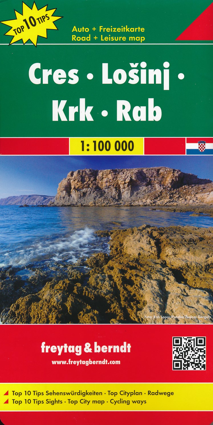
- Cres - Losinj - Krk - Rab F&B Top 10 Tips
- The northern part of the Dalmatian Coast of Croatia from Opatija and Rijeka to, on the mainland, beyond Jablanac on a detailed, indexed map at 1:100,000 from Freytag & Berndt, with the regions to 10 best sights given multilingual descriptions in a booklet attached to the map cover, plus a street plan of central Rijeka. Coverage includes the... Leer más
- Also available from:
- De Zwerver, Netherlands
Netherlands
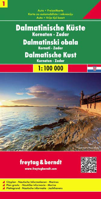
- Wegenkaart - landkaart Dalmatische Kust Cres - Losinj - Krk - Rab | Freytag & Berndt
- The northern part of the Dalmatian Coast of Croatia from Opatija and Rijeka to, on the mainland, beyond Jablanac on a detailed, indexed map at 1:100,000 from Freytag & Berndt, with the regions to 10 best sights given multilingual descriptions in a booklet attached to the map cover, plus a street plan of central Rijeka. Coverage includes the... Leer más
Netherlands
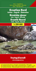
- Wegenkaart - landkaart Kroatië Noord - Croatia North - Kroatien Nord | Freytag & Berndt
- Kroatien Nord 1 : 200 000. Autokarte ab 10.9 EURO Kroatien Nord, Istrien - Zagreb - Slawonien Freytag & Berndt Autokarte. Neuauflage, Laufzeit bis 2019 Leer más
Netherlands
2023

United Kingdom
- Dalmatian Coast 1 - Zadar - Kornati Islands F&B
- The Dalmatian Coast of Croatia around Zadar and the Kornati Islands on a detailed, indexed map at 1:100,000 from Freytag & Berndt with large icons indicating various facilities including campsites and beaches, ferry connections, etc.Coverage includes the islands of Kormat, Pasman Ugljan, Dugi Otok and the southern part of Pag. The map shows... Leer más
- Also available from:
- De Zwerver, Netherlands
Netherlands
- Wegenkaart - landkaart 01 Dalmatische Kust Zadar - Kornaten | Freytag & Berndt
- The Dalmatian Coast of Croatia around Zadar and the Kornati Islands on a detailed, indexed map at 1:100,000 from Freytag & Berndt with large icons indicating various facilities including campsites and beaches, ferry connections, etc.Coverage includes the islands of Kormat, Pasman Ugljan, Dugi Otok and the southern part of Pag. The map shows... Leer más