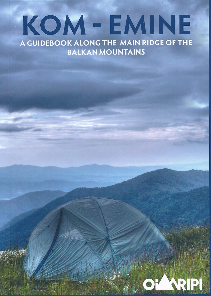
Kom-Emine
Descripción
- Name Kom-Emine
- Distancia de sendero 700 km, 435 millas
- Duración en días 35 días
- Inicio de sendero Kom
- Fin de sendero Emine
- Clasificación Traildino MW, Caminata moderada, sendero de mochileros
- Clasificación Travesía de refugios T1, Caminata
700 km, Mount Kom to cape Emine on the Black Sea, part of the E3 European long distance trail.
Select some tracks
☐Пешеходен маршрут Ком - Емине (част от Е3), 563km
Enlaces
Datos
Informes
Guías y mapas
Hospedaje
Organizaciones
Operadores turísticos
GPS
Otro
Libros

De Zwerver
Netherlands
2016
Netherlands
2016
- Wandelgids Kom-Emine Bulgarije E3 | Oilaripi
- Een uitstekende wandelgids van een beroemd lange-afstands-wandelpad in Bulgarije, onderdeel van de E3 route. Goede beschrijving, mooie kaarten en praktische informatie. Onverwacht hoog nivo van de gids voor een land waar tot voor kort weinig beschikbaar was. Kom-Emine is a long distance path in Bulgaria, part of the E3 European Long Distance... Leer más

