
Kalkalpenweg
Descripción
- Name Kalkalpenweg
- Distancia de sendero 150 km, 93 millas
- Duración en días 8 días
- Inicio de sendero Enns Besucherzentrum
- Fin de sendero Hinterstoder
- Clasificación Traildino MW, Caminata moderada, sendero de mochileros
- Clasificación Travesía de refugios T1, Caminata
Kalkalpenweg, Enns Besucherzentrum – Hinterstoder (trainstation), 150 km, 11 days
A new trail, created in 2007, to promote hiking in the eastern part of the Austrian Limestone Alps. The philosophy behind its design is "to experience new things", because that's what you and I want. In German, this type of 21st century trail is called a Leitwanderweg, a modern product, promoted with modern marketing methods.
The trail is marked with innovative signposts and 3D display boards. These help you explore the characteristics of the area. The trail starts in the Nationalpark Kalkalpen, Ennstaler Alps, and continues into the Sensengebirge and Totes Gebirge.
You can easily finish the Kalkalpen Travers in 11 days, going from hut to hut. Small companies offer luggage transport and hut reservations.
Enlaces
Datos
Informes
Guías y mapas
Hospedaje
Organizaciones
Operadores turísticos
GPS
Otro
Mapas

United Kingdom
- Gesäuse - Ennstaler Alpen - Schoberpass F&B WK062
- Gesäuse - Ennstaler Alpen - Schoberpass area of eastern Austria presented at 1:50,000 in a series of contoured and GPS compatible outdoor leisure map from Freytag & Berndt with hiking and cycling routes, mountain huts, campsites and youth hostels, local bus stops, plus other tourist information.To see the list of currently available titles in... Leer más
Netherlands
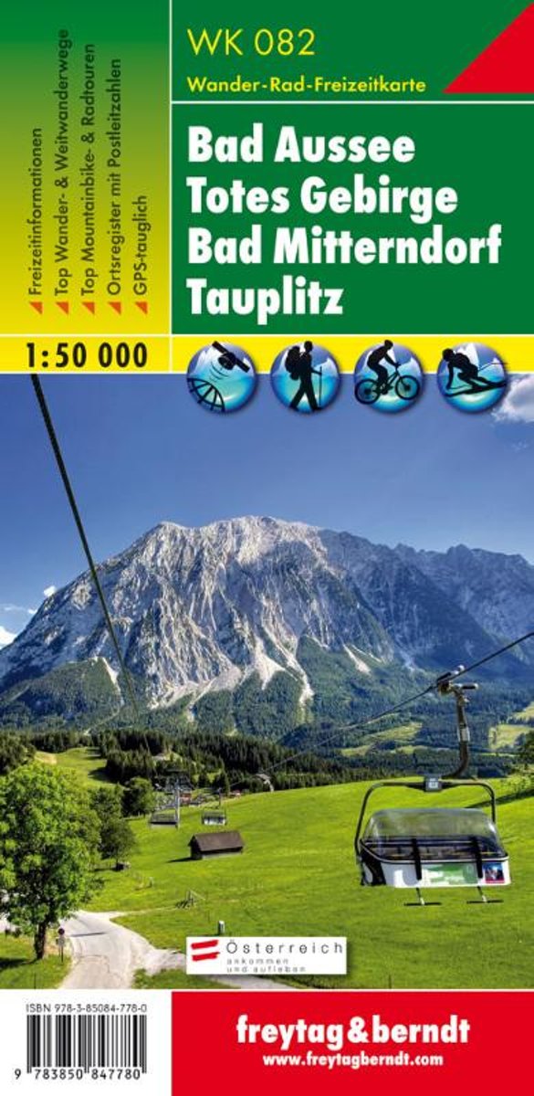
- FB WK082 Bad Aussee • Totes Gebirge • Bad Mitterndorf • Tauplitz
- Aufgrund der ;bersichtlichen und detailgetreuen, digitalen Kartographie sowie der ideal gew;hlten Ma;st;be sind freytag ; berndt Wanderkarten der perfekte Begleiter beim Wandern und Bergsteigen. Sie werden regelm;;ig ;berarbeitet und enthalten aktualisierte Informationen zu Wanderwegen, Rad- und Mountainbikestrecken, H;tten, Naturdenkm;lern,... Leer más
- Also available from:
- Bol.com, Belgium
Belgium
- FB WK082 Bad Aussee • Totes Gebirge • Bad Mitterndorf • Tauplitz
- Aufgrund der ;bersichtlichen und detailgetreuen, digitalen Kartographie sowie der ideal gew;hlten Ma;st;be sind freytag ; berndt Wanderkarten der perfekte Begleiter beim Wandern und Bergsteigen. Sie werden regelm;;ig ;berarbeitet und enthalten aktualisierte Informationen zu Wanderwegen, Rad- und Mountainbikestrecken, H;tten, Naturdenkm;lern,... Leer más