Santa Lucía
Descripción
Enlaces
Datos
Informes
Guías y mapas
Hospedaje
Organizaciones
Operadores turísticos
GPS
Otro
Mapas

Stanfords
United Kingdom
United Kingdom
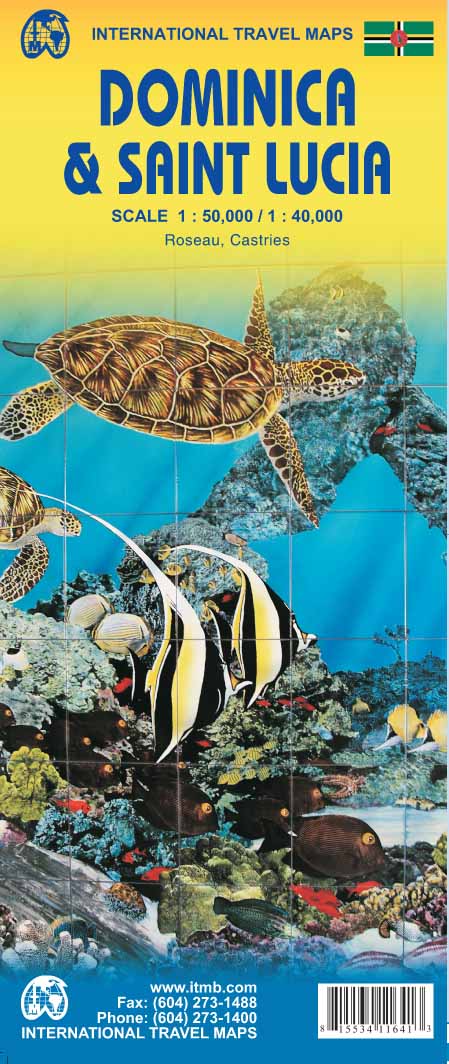
- Dominica & Saint Lucia ITMB
- Dominica and Saint Lucia on a double-sided map from ITMB showing each island on one side accompanied by street plans of Roseau and Castries respectively. The islands’ topography is shown by contours and altitude colouring.On one side is Dominica at 1:50,000. Contour lines are at 25m intervals. The Waiukubuli National Hiking Trail is prominently... Leer más
- Also available from:
- De Zwerver, Netherlands
De Zwerver
Netherlands
Netherlands
- Wegenkaart - landkaart Dominica - Santa Lucia | ITMB
- Dominica and Saint Lucia on a double-sided map from ITMB showing each island on one side accompanied by street plans of Roseau and Castries respectively. The islands’ topography is shown by contours and altitude colouring.On one side is Dominica at 1:50,000. Contour lines are at 25m intervals. The Waiukubuli National Hiking Trail is prominently... Leer más
De Zwerver
Netherlands
Netherlands
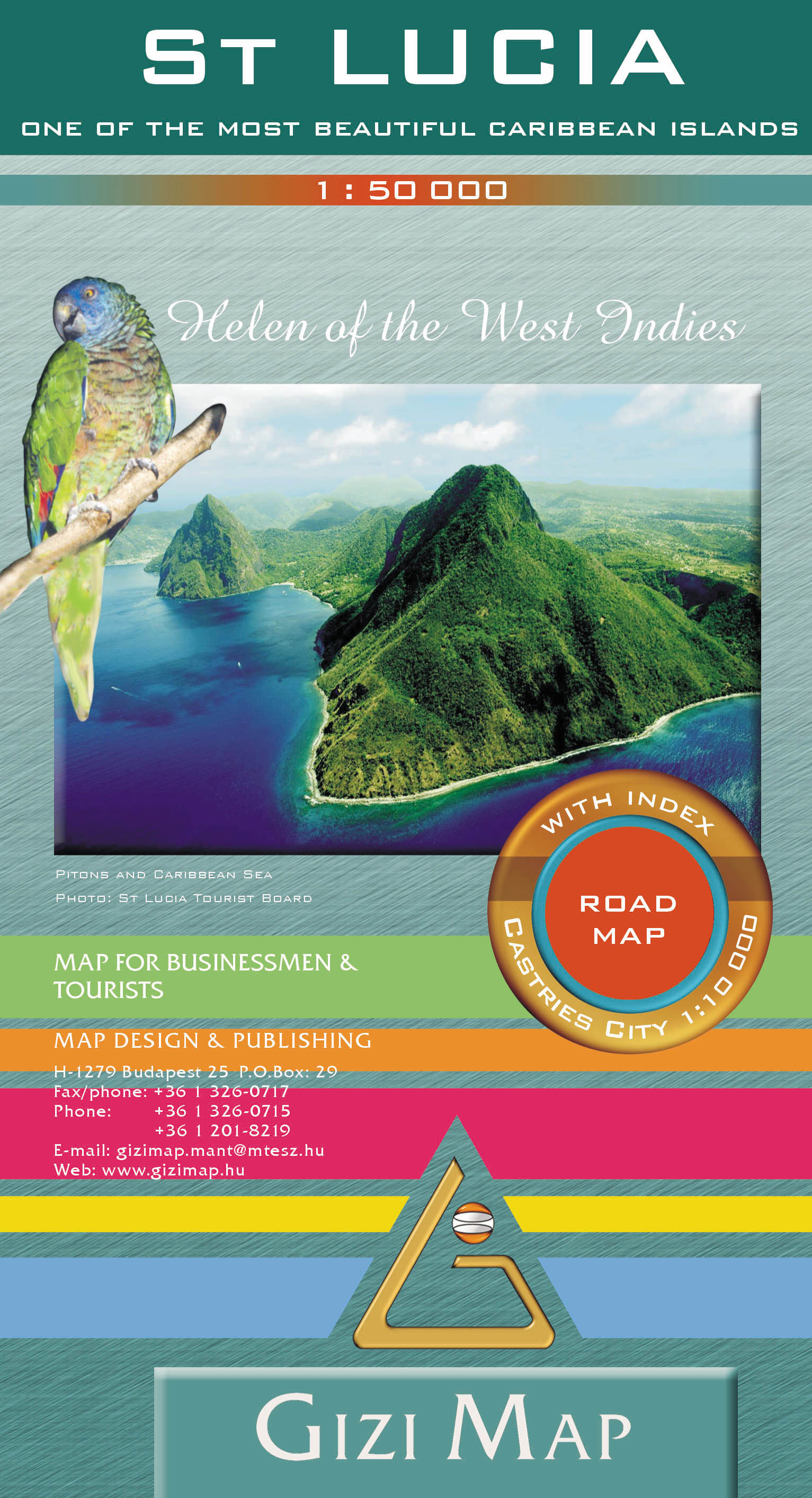
- Wegenkaart - landkaart St Lucia | Gizi Map
- Saint Lucia Geographical Map 1 : 50 000 ab 11.95 EURO new edition Leer más
Más mapas…