
Tristan da Cunha
Descripción
Tristan da Cunha is located in the Atlantic, almost 2500 km south of Saint Helena. It is British territory, and extremely remote. Apart from Tristan da Cunha main island, it includes uninhabited Nightingale Island, and the wildlife reserves Inaccessible Island and Gough Island.
Enlaces
Datos
Informes
Guías y mapas
Hospedaje
Organizaciones
Operadores turísticos
GPS
Otro
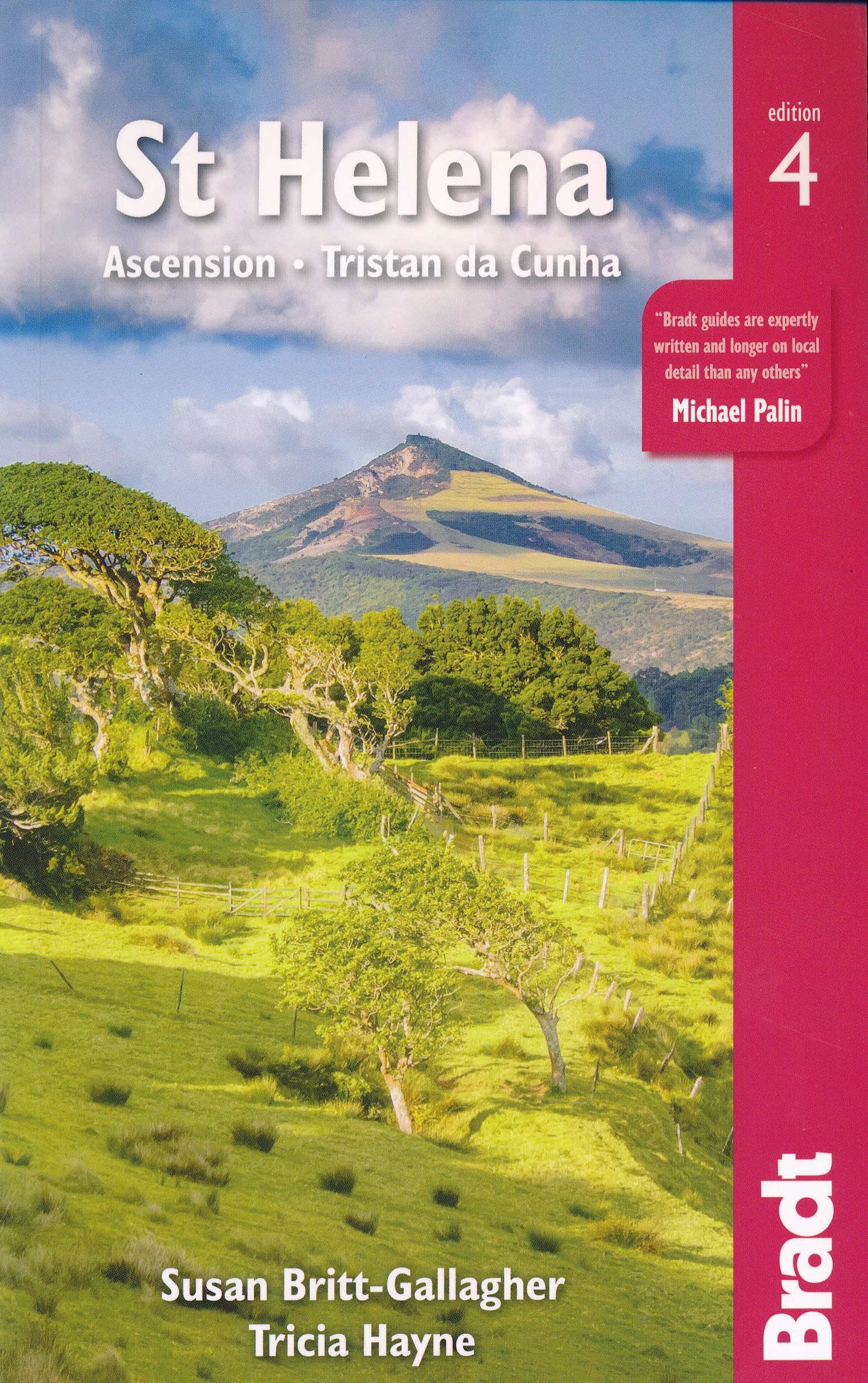
Libros
De Zwerver
Netherlands
2021
Netherlands
2021
Mapas

Stanfords
United Kingdom
United Kingdom
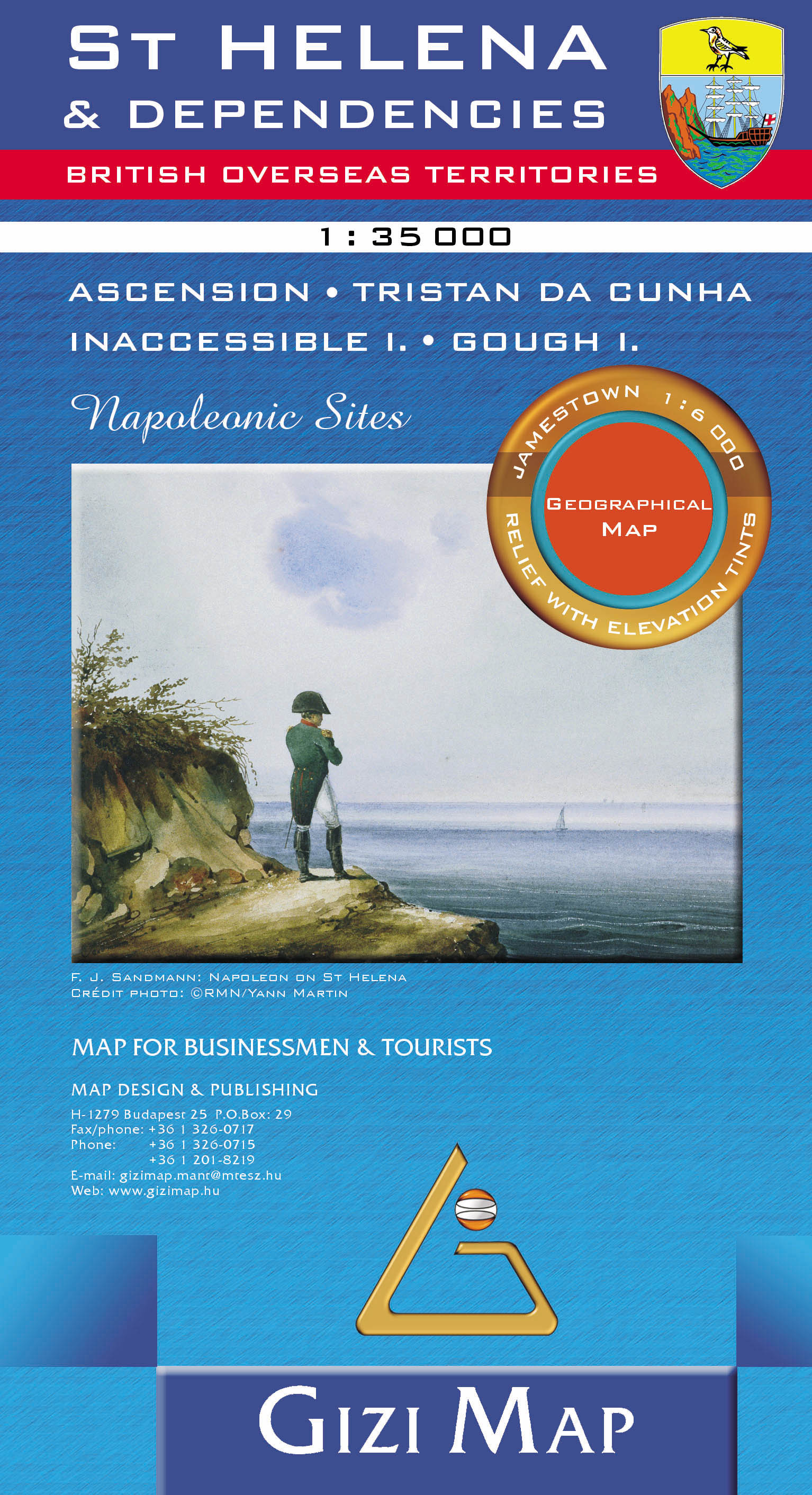
- St Helena and Dependencies incl. Ascension and Tristan da Cunha Wall Map
- St. Helena Wall Map at 1:35,000 from Gizi Map, size 69.5 x 70 cm (27.5” x 27.5” approx), with the other islands of the British Overseas Territories in the Atlantic: Tristan da Cunha, plus Ascension, Inaccessible and Gough Islands at 1:75,000, with superb cartography and places of interest.The map excellently presents the topography of all the... Leer más

Stanfords
United Kingdom
United Kingdom
- St Helena & Dependencies incl. Ascension and Tristan da Cunha Gizi Map
- St. Helena at 1:35,000 from Gizi Map, with the other islands of the British Overseas Territories in the Atlantic: Tristan da Cunha, plus Ascension, Inaccessible and Gough Islands at 1:75,000, with superb cartography and places of interest.The map excellently presents the topography of all the islands, with bright colouring and vivid relief... Leer más
- Also available from:
- De Zwerver, Netherlands
De Zwerver
Netherlands
Netherlands
- Wandelkaart - Wegenkaart - landkaart St Helena & Dependencies | Gizi Map
- St. Helena at 1:35,000 from Gizi Map, with the other islands of the British Overseas Territories in the Atlantic: Tristan da Cunha, plus Ascension, Inaccessible and Gough Islands at 1:75,000, with superb cartography and places of interest.The map excellently presents the topography of all the islands, with bright colouring and vivid relief... Leer más