Mayotte
Descripción
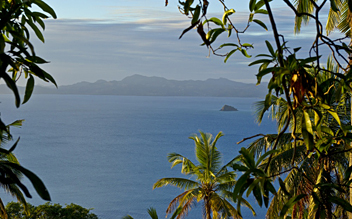
Officially part of France, Mayotte is a small group of islands between Mozambique and Madagascar, consisting of a main island, Grande-Terre (or Mahoré), a smaller island, Petite-Terre (or Pamanzi), and several islets around these two. Geographically it is the most southern of the Comoros Islands, but contrary to the rest of the Comoros, Mayotte chose to remain French.
It is possible to hike up Mount Choungui. And being French territory, of course there is a GR 1: Tour de Mayotte, a 170 km long circular trail all around the island.
Senderos
Montañas
Enlaces
Datos
Informes
Guías y mapas
Hospedaje
Organizaciones
Operadores turísticos
GPS
Otro
Mapas

Stanfords
United Kingdom
United Kingdom
- Mamoudzou - Mtsamboro - Petite-Terre Mayotte IGN 4410MT
- Detailed topographic survey map of the northern half of the island, from Tzoundzou 2 (on the east coast) northwards. Includes Petit Terre and Chissioua Mtsamboro. The cartography is of the same precise and highly detailed standard as that in IGN`s Serie Bleue map series for France. Communications and topographic features and landmarks are... Leer más

Stanfords
United Kingdom
United Kingdom
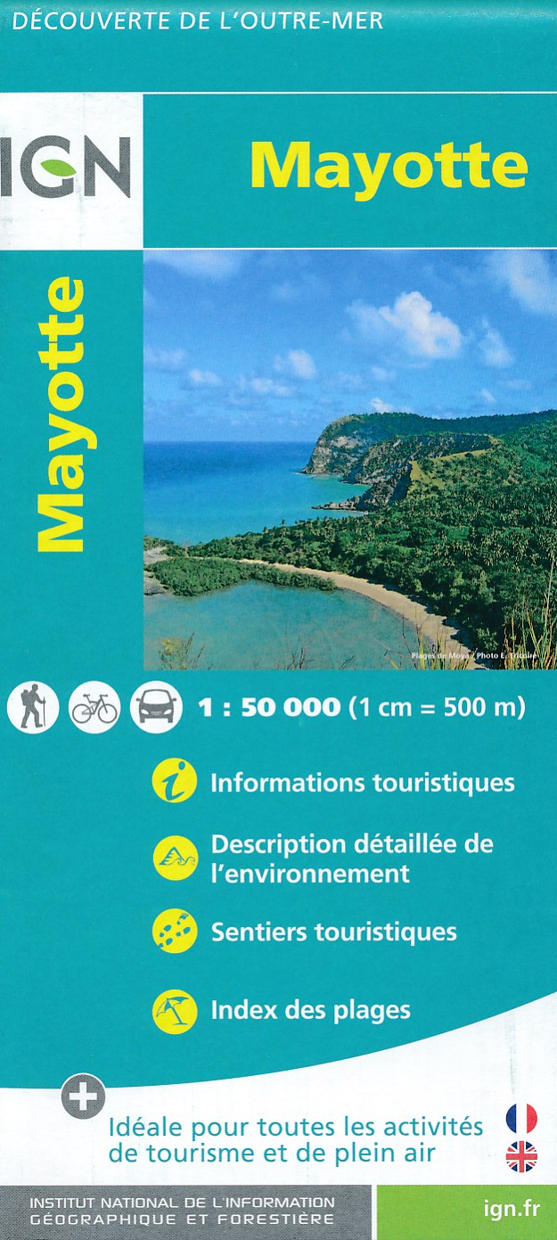
- Mayotte IGN Map 84976
- Mayotte at 1:50,000 on a contoured and GPS compatible map from the IGN, with plans of Mazoudzou and Dzaoudzi, plus an index of beaches. Topography is shown by contours at 20m intervals with relief shading and spot heights, plus colouring and/or graphics for different types of vegetation. In the surrounding waters coral reefs are prominently... Leer más
- Also available from:
- De Zwerver, Netherlands

De Zwerver
Netherlands
Netherlands
- Fietskaart - Wandelkaart Mayotte | IGN - Institut Géographique National
- MayotteLes cartes routières et touristiques de l?Outre-mer vous permettent de découvrir ces destinations exotiques. Leer más


