GR6
Descripción
- Name GR6 (GR6)
- Inicio de sendero Sainte-Foy-la-Grande
- Fin de sendero Saint-Paul-sur-Ubaye
- Clasificación Traildino MW, Caminata moderada, sendero de mochileros
- Clasificación Travesía de refugios T1, Caminata


6
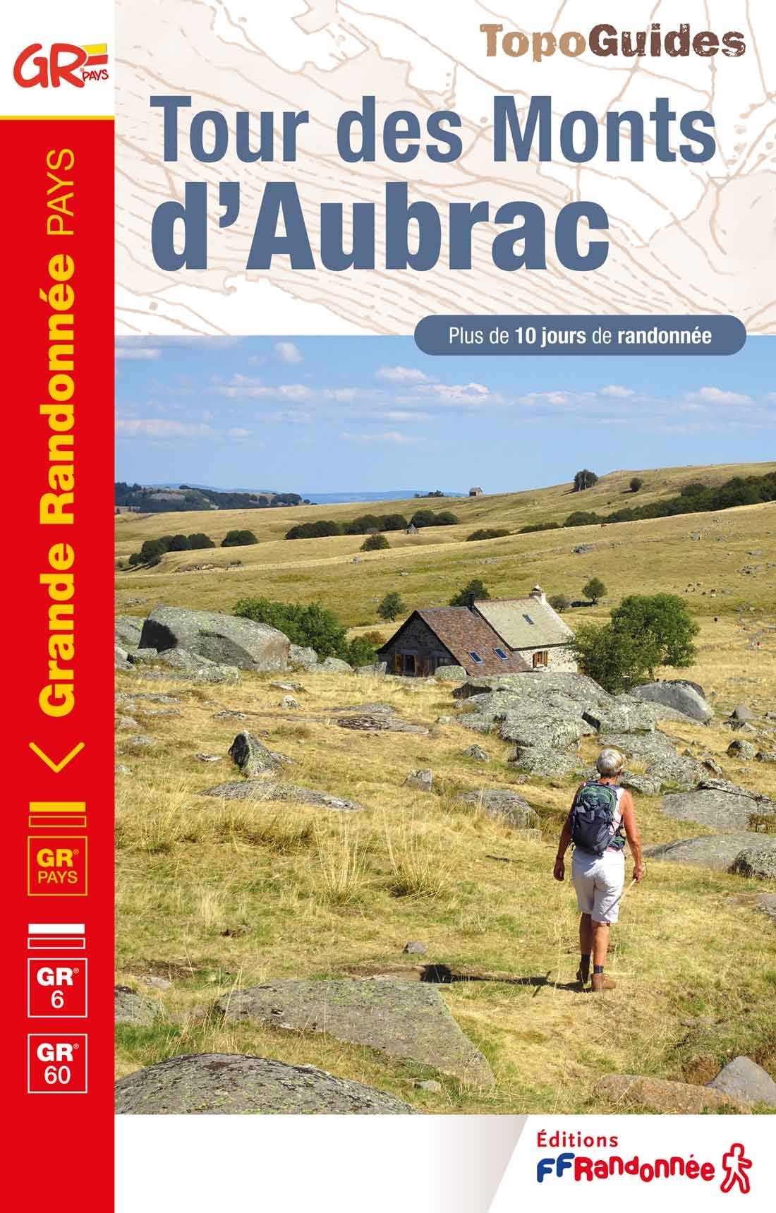
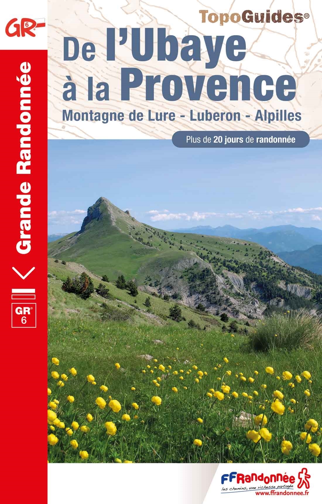
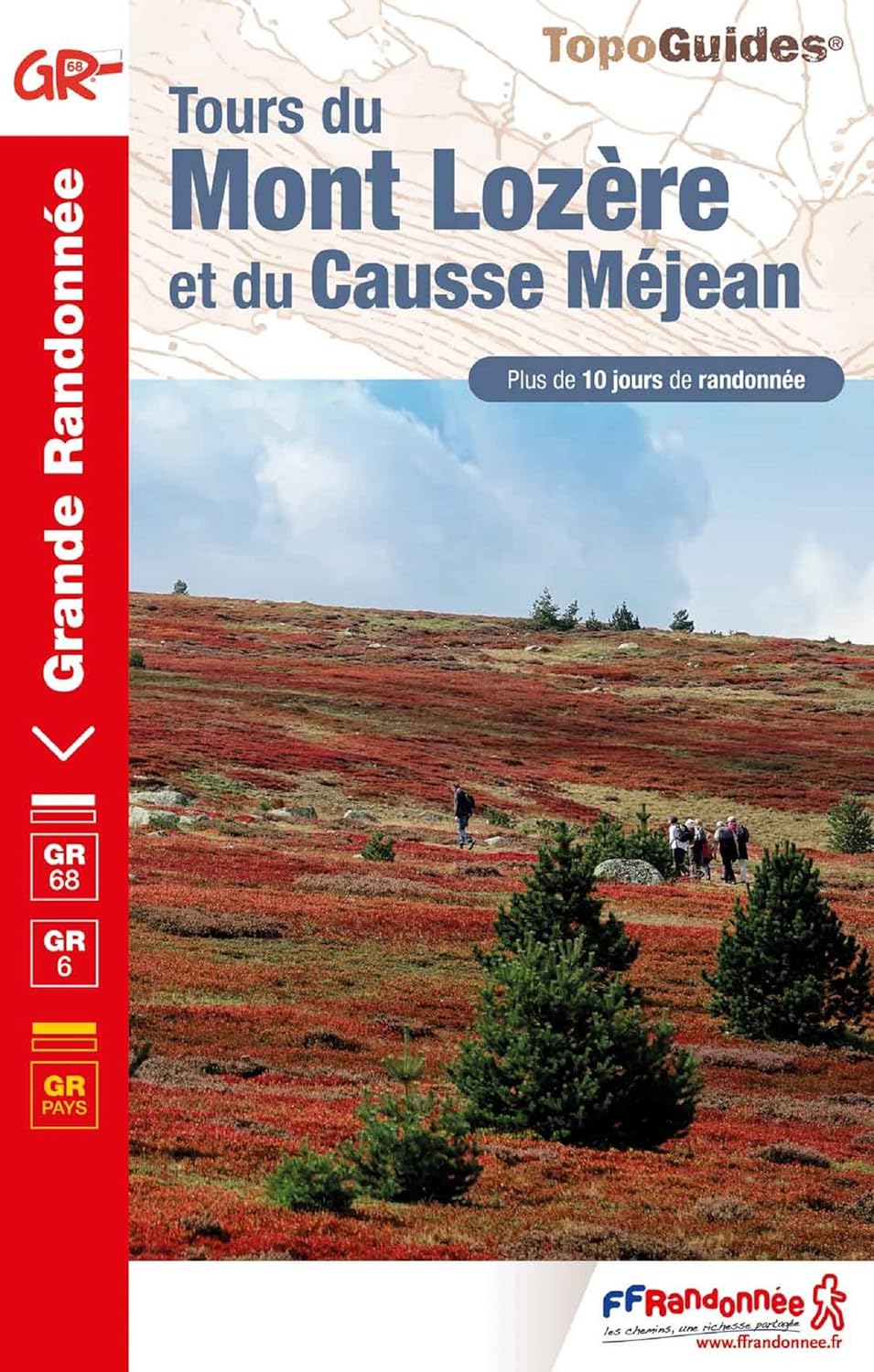
 Sainte-Foy-la-Grande (near Bordeaux) - Saint-Paul-sur-Ubaye (Alpes-de-Haute-Provence, border with Italy)
The GR6 runs west-east, through the Gironde, the Cévennes and the Provence. Parts of the trail are equal to the E7. Be aware that the region around the Luberon might be closed all summer (july-august) due to risk of forest fires.
Select some tracks
☐Sentier de Grande Randonnée 6 Provence, 446km
☐Sentier de Grande Randonnée 6, section Langon - Rocamadour, 307km
☐Grubria Anello GR6 Paderno Cinisello Cusano, 17km
☐Sentier de Grande Randonnée 6, tracé principal, 0.5km
☐Liaison GR 654 Ouest - GR 6, 3.9km
☐Liaison pour les GRP - Le GR6 ne passe plus ici., 3.2km
Mapa


Enlaces
Datos
Informes
Guías y mapas
Hospedaje
Organizaciones
Operadores turísticos
GPS
Otro
Libros


Más libros…