
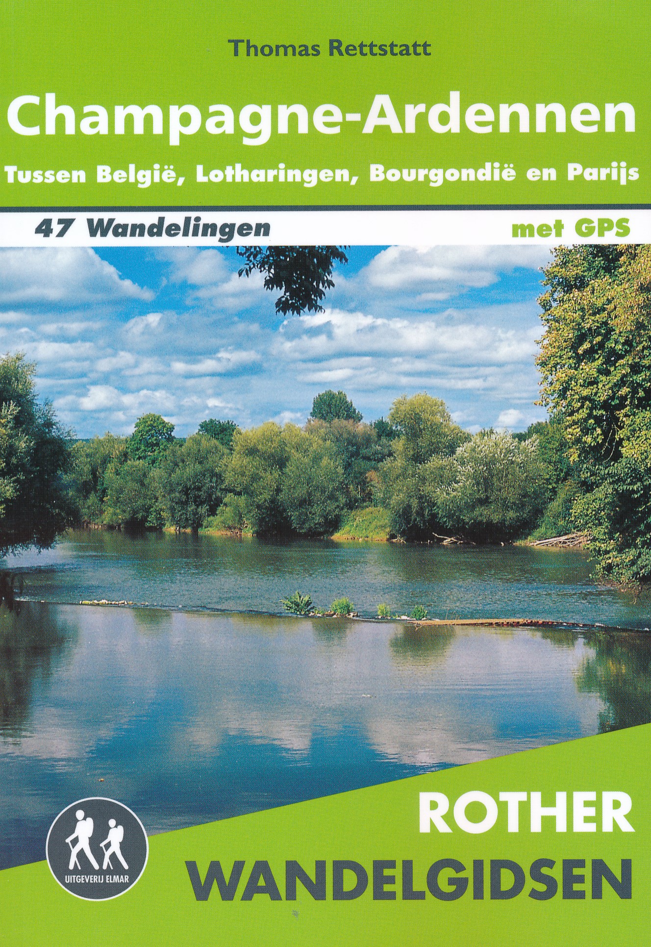
Champagne-Ardenne
Descripción
Region in the North of France, bordering on Belgium.
Senderos en región
Enlaces
Datos
Informes
Guías y mapas
Hospedaje
Organizaciones
Operadores turísticos
GPS
Otro
Libros

Stanfords
United Kingdom
2015
United Kingdom
2015
- La Marne à pied FFRP Topo-guide No. D051
- La Marne à pied, FFRP topo-guide Ref. No. D051, with 38 day walks of varying length and difficulty in the department, including in the Montagne de Reims and walks connected with the Meuse-Argonne offensive in the final months of WWI. Each walk is presented on a separate colour extract from IGN’s topographic survey of France at 1:25,000, with... Leer más

Stanfords
United Kingdom
2015
United Kingdom
2015
- GR654 Chemins de St-Jacques: Vézelay - Périgueux FFRP Topo-guide No. 6542
- Chemins de St-Jacques: Vézelay - Périgueux, FFRP topoguide Ref. no. 6542, covering the 744km route along the GR654 the Way of St. Jamezs from Vézelay via Limoges to Périgueux. Current edition of this title was published in March 2015.ABOUT THE FFRP (Fédération française de la randonnée pédestre) TOPOGUIDES: published in a handy A5 paperback... Leer más
De Zwerver
Netherlands
2014
Netherlands
2014
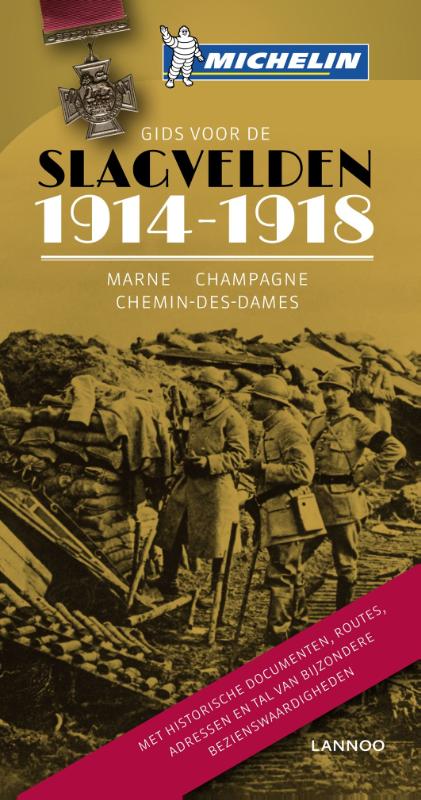
- Reisgids Gids voor de Slagvelden 1914-1918 Marne - Champagne - Chemin des Dames | Lannoo
- Op zoek naar de plaatsen waar de Eerste Wereldoorlog werd uitgevochten Een eeuw geleden brak Wereldoorlog I uit: een conflict dat al snel heel de wereld in zijn greep hield en finaal een keerpunt in de wereldgeschiedenis betekende. - 1917 - Terwijl de kanonnen nog bulderen beslist André Michelin een reeks geïllustreerde gidsen over de... Leer más

Bol.com
Netherlands
Netherlands
- Bon Voyage!
- A collection of extracts from the books of the popular travel writer on France Susie Kelly. In 'Travels With Tinkerbelle, 6,000 Miles Around France In A Mechanical Wreck' the author and her husband devised a simple plan to take a tent and the dog and drive around the perimeter of France. Like many simple plans it went wrong before it... Leer más
- Also available from:
- Bol.com, Belgium
Bol.com
Belgium
Belgium
- Bon Voyage!
- A collection of extracts from the books of the popular travel writer on France Susie Kelly. In 'Travels With Tinkerbelle, 6,000 Miles Around France In A Mechanical Wreck' the author and her husband devised a simple plan to take a tent and the dog and drive around the perimeter of France. Like many simple plans it went wrong before it... Leer más

Stanfords
United Kingdom
United Kingdom
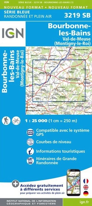
- Bourbonne-Les-Bains - Val-de-Meuse (Montigny-le-Roi) IGN 3219SB
- Topographic survey of France at 1:25,000 in IGN`s excellent TOP25 / Série Bleue series. All the maps are GPS compatible, with a 1km UTM grid plus latitude and longitude lines at 5’ intervals. Contours are at 5m intervals except for mountainous areas where the maps have contours at 10m intervals, vividly enhanced by hill shading and graphics for... Leer más
- Also available from:
- De Zwerver, Netherlands
De Zwerver
Netherlands
Netherlands
- Wandelkaart - Topografische kaart 3219SB Bourbonne-les-Bains - Val-de-Meuse (Montigny-le-Roi) | IGN - Institut Géographique National
- L'indispensable carte de randonnée IGN aux alentours de Bourbonne-les-Bains - Val-de-Meuse (Montigny-Le-Roi). A conserver dans son sac à dos. Leer más
De Zwerver
Netherlands
2023
Netherlands
2023
Bol.com
Netherlands
Netherlands
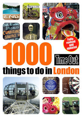
- Time Out Guide 1000 Things to do in London
- However well you know London, there's always more to be uncovered. New events and attractions, or familiar buildings or vistas seen from a different angle. A stroll across Waterloo Bridge or dinner after dark in St. James' Park; a canal walk in Camden or a glass of champagne from the top of a city skyscraper. Discover a secret garden in... Leer más
- Also available from:
- Bol.com, Belgium
Bol.com
Belgium
Belgium
- Time Out Guide 1000 Things to do in London
- However well you know London, there's always more to be uncovered. New events and attractions, or familiar buildings or vistas seen from a different angle. A stroll across Waterloo Bridge or dinner after dark in St. James' Park; a canal walk in Camden or a glass of champagne from the top of a city skyscraper. Discover a secret garden in... Leer más

Bol.com
Netherlands
Netherlands
- Tuttle Travel Pack Japan
- WINNER OF THE 2013 NORTH AMERICAN TRAVEL JOURNALISTS ASSOCIATION GOLD AWARD IN THE TRAVEL BOOK/GUIDE CATEGORYThis is the book that gives you the best of the best! All sights in Japan Tuttle Travel Pack have been hand-picked by seasoned travel writer Rob Goss who has been living in Japan for over a decade, visiting and writing about every corner... Leer más
- Also available from:
- Bol.com, Belgium
Bol.com
Belgium
Belgium
- Tuttle Travel Pack Japan
- WINNER OF THE 2013 NORTH AMERICAN TRAVEL JOURNALISTS ASSOCIATION GOLD AWARD IN THE TRAVEL BOOK/GUIDE CATEGORYThis is the book that gives you the best of the best! All sights in Japan Tuttle Travel Pack have been hand-picked by seasoned travel writer Rob Goss who has been living in Japan for over a decade, visiting and writing about every corner... Leer más

Stanfords
United Kingdom
United Kingdom
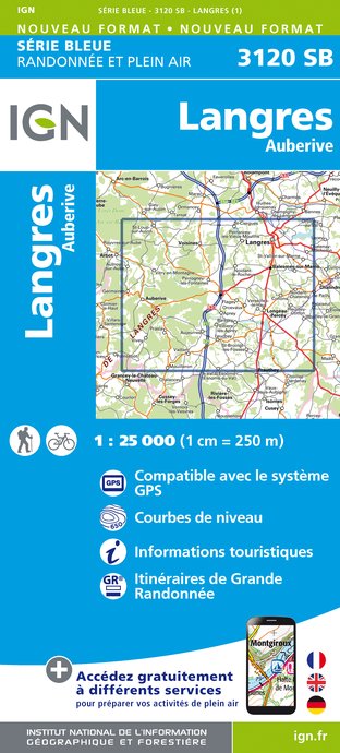
- Langres - Auberive IGN 3120SB
- Topographic survey of France at 1:25,000 in IGN`s excellent TOP25 / Série Bleue series. All the maps are GPS compatible, with a 1km UTM grid plus latitude and longitude lines at 5’ intervals. Contours are at 5m intervals except for mountainous areas where the maps have contours at 10m intervals, vividly enhanced by hill shading and graphics for... Leer más
- Also available from:
- De Zwerver, Netherlands
De Zwerver
Netherlands
Netherlands
- Topografische kaart - Wandelkaart 3120SB Langres - Auberive | IGN - Institut Géographique National
- L'indispensable carte de randonnée IGN aux alentours de Langres - Auberive. A conserver dans son sac à dos. Leer más

Stanfords
United Kingdom
United Kingdom
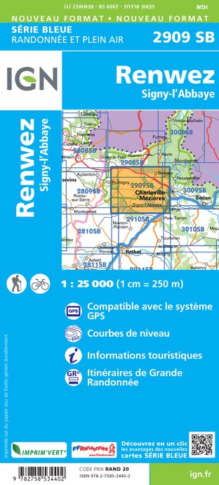
- Renwez - Signy-l`Abbaye IGN 25K Série Bleue Map 2909SB
- Topographic survey of France at 1:25,000 in IGN`s excellent TOP25 / Série Bleue series. All the maps are GPS compatible, with a 1km UTM grid plus latitude and longitude lines at 5’ intervals. Contours are at 5m intervals except for mountainous areas where the maps have contours at 10m intervals, vividly enhanced by hill shading and graphics for... Leer más
- Also available from:
- De Zwerver, Netherlands
De Zwerver
Netherlands
Netherlands
- Wandelkaart - Topografische kaart 2909SB Renwez-Signy, L'Abbaye | IGN - Institut Géographique National
- L'indispensable carte de randonnée IGN aux alentours de Renwez - Signy-L'Abbaye. A conserver dans son sac à dos. Leer más
De Zwerver
Netherlands
Netherlands
Bol.com
Netherlands
Netherlands
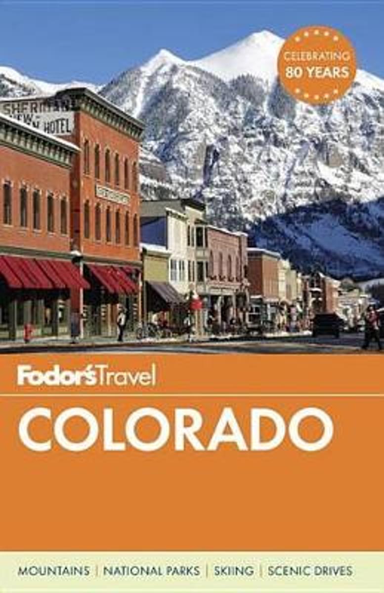
- Fodor's Colorado
- Colorado is an ideal state for outdoors enthusiasts. The heart of the Rocky Mountains, Colorado has scores of snow-capped summits, and is known by skiers everywhere for its champagne powder. Fodor's Colorado captures the state's best outdoor excursions--from skiing and hiking to fishing and biking--while also showcasing what makes cosmopolitan... Leer más
- Also available from:
- Bol.com, Belgium
Bol.com
Belgium
Belgium
- Fodor's Colorado
- Colorado is an ideal state for outdoors enthusiasts. The heart of the Rocky Mountains, Colorado has scores of snow-capped summits, and is known by skiers everywhere for its champagne powder. Fodor's Colorado captures the state's best outdoor excursions--from skiing and hiking to fishing and biking--while also showcasing what makes cosmopolitan... Leer más
Bol.com
Netherlands
Netherlands
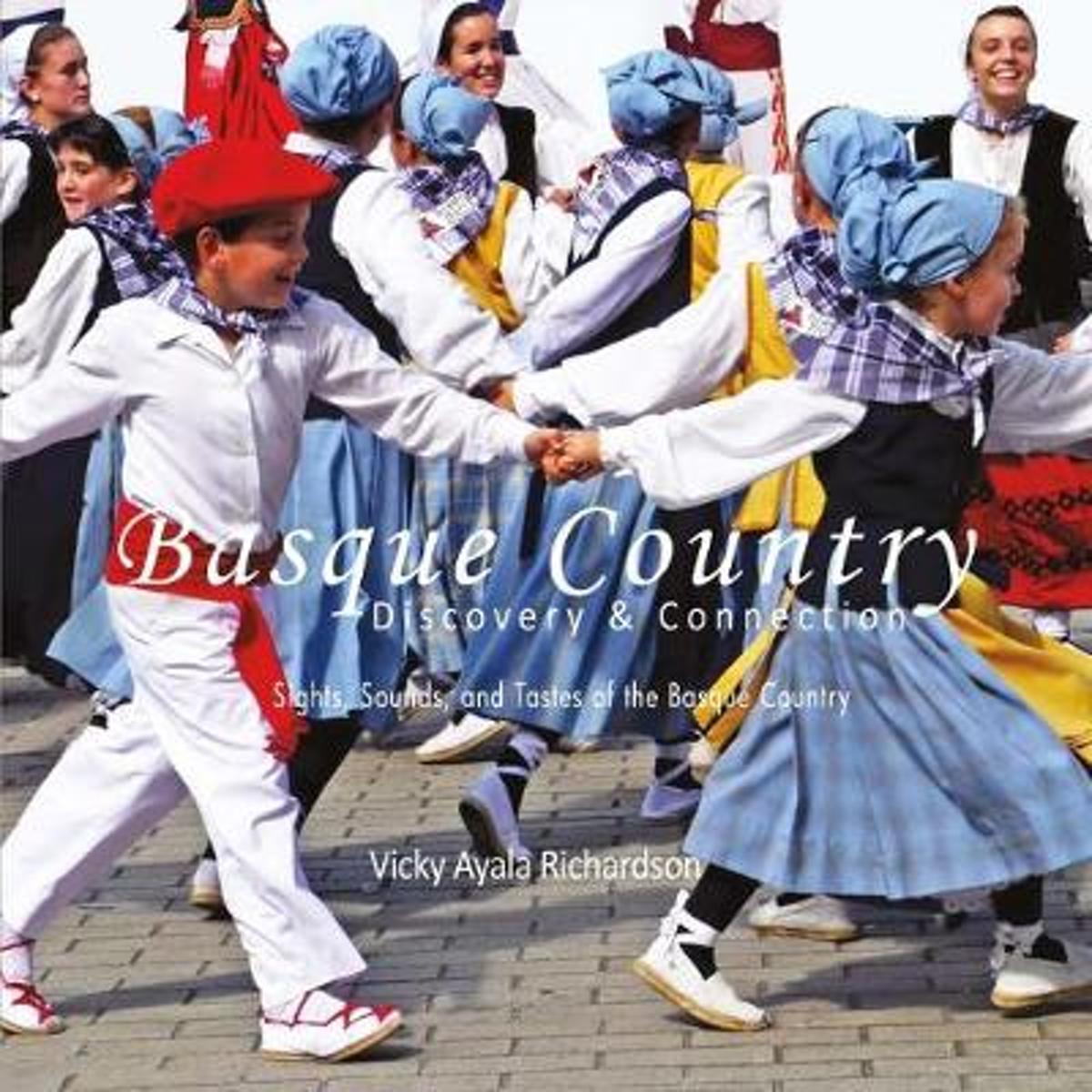
- Basque Country, Discovery & Connection
- Basque Country Discovery & Connections Sights, Sounds and Tastes of the Basque Country Vicky Ayala Richardson has taken a very long and winding road to discover her Basque roots. However, once discovered, she has been single minded in her approach to connecting with the sights, sounds and tastes which are Basque. Collected directly from the... Leer más
- Also available from:
- Bol.com, Belgium
Bol.com
Belgium
Belgium
- Basque Country, Discovery & Connection
- Basque Country Discovery & Connections Sights, Sounds and Tastes of the Basque Country Vicky Ayala Richardson has taken a very long and winding road to discover her Basque roots. However, once discovered, she has been single minded in her approach to connecting with the sights, sounds and tastes which are Basque. Collected directly from the... Leer más

Stanfords
United Kingdom
United Kingdom
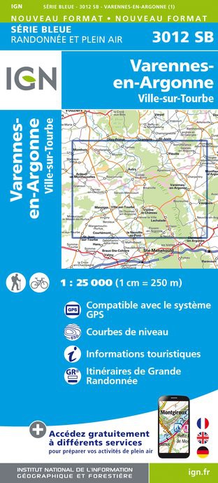
- Varennes-en-Argonne - Ville-sur-Tourbe IGN 3012SB
- Topographic survey of France at 1:25,000 in IGN`s excellent TOP25 / Série Bleue series. All the maps are GPS compatible, with a 1km UTM grid plus latitude and longitude lines at 5’ intervals. Contours are at 5m intervals except for mountainous areas where the maps have contours at 10m intervals, vividly enhanced by hill shading and graphics for... Leer más
- Also available from:
- De Zwerver, Netherlands
De Zwerver
Netherlands
Netherlands
- Topografische kaart - Wandelkaart 3012SB Varennes-en-Argonne | IGN - Institut Géographique National
- L'indispensable carte de randonnée IGN. A conserver dans son sac à dos Leer más
Mapas

Stanfords
United Kingdom
2017
United Kingdom
2017
- France IGN Wine Map 915
- France on a colourful and informative wine map from the IGN, using a road map of the country as a base for highlighting wine growing areas, all annotated with names and extensive lists of individual appellations, etc. The base map shows the road network from motorways to country roads to guide visitors to the various the vineyards from... Leer más

Stanfords
United Kingdom
United Kingdom
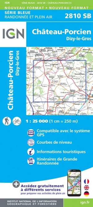
- Chateau-Porcien - Dizy-le-Gros IGN 2810SB
- Between 2014 and 2019, the IGN renewed its entire Serie Bleue collection. A new map for optimal readability, with better geometric precision and enriched tourist information. A new format twice as large: the format of the new Serie Bleue is equivalent to that of the Top 25 and the number of references will thus be divided by 2. For most maps,... Leer más
- Also available from:
- The Book Depository, United Kingdom
- De Zwerver, Netherlands

De Zwerver
Netherlands
Netherlands

Stanfords
United Kingdom
United Kingdom
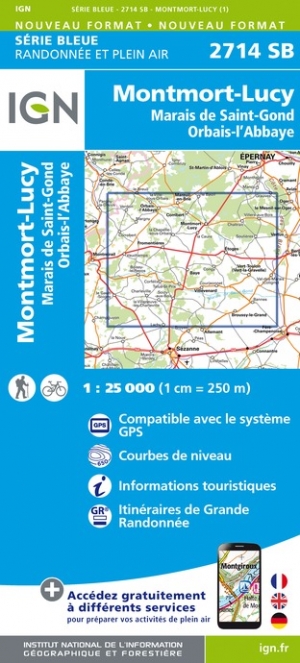
- Montmort-Lucy - Marais de Saint-Gond - Orbais-l`Abbaye IGN 2714SB
- Topographic survey of France at 1:25,000 in IGN`s excellent TOP25 / Série Bleue series. All the maps are GPS compatible, with a 1km UTM grid plus latitude and longitude lines at 5’ intervals. Contours are at 5m intervals except for mountainous areas where the maps have contours at 10m intervals, vividly enhanced by hill shading and graphics for... Leer más
- Also available from:
- The Book Depository, United Kingdom
- De Zwerver, Netherlands

De Zwerver
Netherlands
Netherlands

Stanfords
United Kingdom
United Kingdom
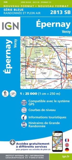
- Epernay - Verzy IGN 2813SB
- Topographic survey of France at 1:25,000 in IGN`s excellent TOP25 / Série Bleue series. All the maps are GPS compatible, with a 1km UTM grid plus latitude and longitude lines at 5’ intervals. Contours are at 5m intervals except for mountainous areas where the maps have contours at 10m intervals, vividly enhanced by hill shading and graphics for... Leer más
- Also available from:
- The Book Depository, United Kingdom
- De Zwerver, Netherlands

De Zwerver
Netherlands
Netherlands
Stanfords
United Kingdom
United Kingdom
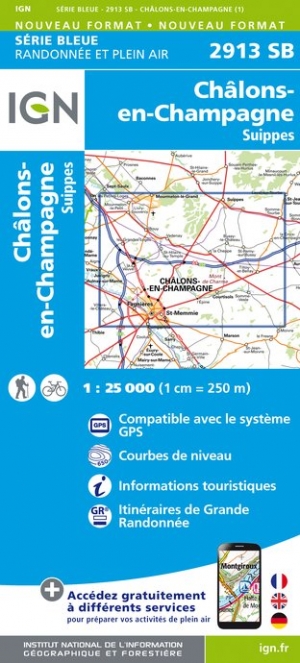
- Chalons-en-Champagne - Suippes IGN 2913SB
- Topographic survey of France at 1:25,000 in IGN`s excellent TOP25 / Série Bleue series. All the maps are GPS compatible, with a 1km UTM grid plus latitude and longitude lines at 5’ intervals. Contours are at 5m intervals except for mountainous areas where the maps have contours at 10m intervals, vividly enhanced by hill shading and graphics for... Leer más
- Also available from:
- The Book Depository, United Kingdom
- De Zwerver, Netherlands


De Zwerver
Netherlands
Netherlands

Stanfords
United Kingdom
United Kingdom
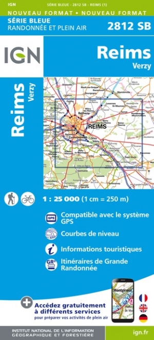
- Reims - Verzy IGN 2812SB
- Between 2014 and 2019, the IGN renewed its entire Serie Bleue collection. A new map for optimal readability, with better geometric precision and enriched tourist information. A new format twice as large: the format of the new Serie Bleue is equivalent to that of the Top 25 and the number of references will thus be divided by 2. For most maps,... Leer más
- Also available from:
- The Book Depository, United Kingdom
- De Zwerver, Netherlands

De Zwerver
Netherlands
Netherlands

Stanfords
United Kingdom
United Kingdom
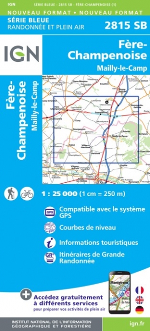
- Fere-Champenoise - Mailly-le-Camp IGN 2815SB
- Topographic survey of France at 1:25,000 in IGN`s excellent TOP25 / Série Bleue series. All the maps are GPS compatible, with a 1km UTM grid plus latitude and longitude lines at 5’ intervals. Contours are at 5m intervals except for mountainous areas where the maps have contours at 10m intervals, vividly enhanced by hill shading and graphics for... Leer más
- Also available from:
- The Book Depository, United Kingdom
- De Zwerver, Netherlands

De Zwerver
Netherlands
Netherlands

- Also available from:
- De Zwerver, Netherlands

- Also available from:
- The Book Depository, United Kingdom
- De Zwerver, Netherlands

De Zwerver
Netherlands
Netherlands
Stanfords
United Kingdom
United Kingdom
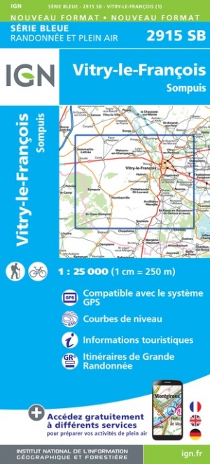
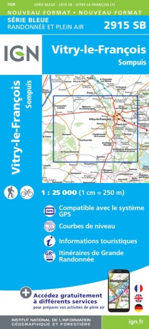
- Vitry-le-Francois - Sompuis IGN 2915SB
- Topographic survey of France at 1:25,000 in IGN`s excellent TOP25 / Série Bleue series. All the maps are GPS compatible, with a 1km UTM grid plus latitude and longitude lines at 5’ intervals. Contours are at 5m intervals except for mountainous areas where the maps have contours at 10m intervals, vividly enhanced by hill shading and graphics for... Leer más
- Also available from:
- The Book Depository, United Kingdom
- De Zwerver, Netherlands

De Zwerver
Netherlands
Netherlands

Stanfords
United Kingdom
United Kingdom
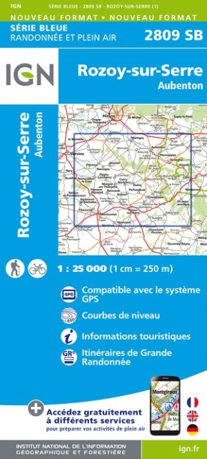
- Rozoy-sur-Serre - Aubenton IGN 2809SB
- Between 2014 and 2019, the IGN renewed its entire Serie Bleue collection. A new map for optimal readability, with better geometric precision and enriched tourist information. A new format twice as large: the format of the new Serie Bleue is equivalent to that of the Top 25 and the number of references will thus be divided by 2. For most maps,... Leer más
- Also available from:
- The Book Depository, United Kingdom
- De Zwerver, Netherlands

De Zwerver
Netherlands
Netherlands

Stanfords
United Kingdom
United Kingdom
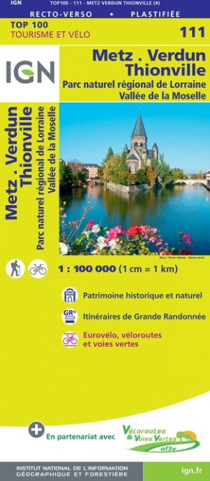
- Metz - Verdun - Luxembourg IGN TOP100 111
- Discover the new double-sided laminated edition of TOP100 road maps of France from the Institut Géographique National (IGN); exceptionally detailed, contoured road maps which include the cycle paths and greenways of the AF3V (French Association for the Development of Cycle Paths and Greenways), ideal for exploring the French countryside by car,... Leer más
- Also available from:
- The Book Depository, United Kingdom
- De Zwerver, Netherlands

De Zwerver
Netherlands
Netherlands

Stanfords
United Kingdom
United Kingdom
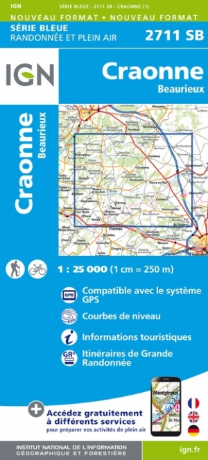
- Craonne - Beaurieux IGN 2711SB
- Between 2014 and 2019, the IGN renewed its entire Serie Bleue collection. A new map for optimal readability, with better geometric precision and enriched tourist information. A new format twice as large: the format of the new Serie Bleue is equivalent to that of the Top 25 and the number of references will thus be divided by 2. For most maps,... Leer más
- Also available from:
- The Book Depository, United Kingdom
- De Zwerver, Netherlands

De Zwerver
Netherlands
Netherlands

Stanfords
United Kingdom
United Kingdom
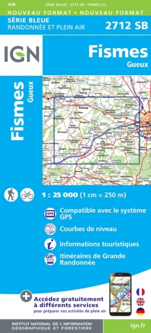
- Fismes - Gueux GN 2712SB
- Between 2014 and 2019, the IGN renewed its entire Serie Bleue collection. A new map for optimal readability, with better geometric precision and enriched tourist information. A new format twice as large: the format of the new Serie Bleue is equivalent to that of the Top 25 and the number of references will thus be divided by 2. For most maps,... Leer más
- Also available from:
- The Book Depository, United Kingdom
- De Zwerver, Netherlands

De Zwerver
Netherlands
Netherlands

Stanfords
United Kingdom
United Kingdom
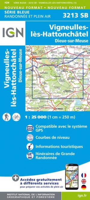
- Vigneulles-les-Hattonchatel - Dieue-sur-Meuse IGN 3213SB
- Topographic survey of France at 1:25,000 in IGN`s excellent TOP25 / Série Bleue series. All the maps are GPS compatible, with a 1km UTM grid plus latitude and longitude lines at 5’ intervals. Contours are at 5m intervals except for mountainous areas where the maps have contours at 10m intervals, vividly enhanced by hill shading and graphics for... Leer más
- Also available from:
- The Book Depository, United Kingdom
- De Zwerver, Netherlands

De Zwerver
Netherlands
Netherlands