
Florida
Descripción
Florida is a southeastern state famous for its subtropical climate and the Everglades. Most of the terrain is flat and wet, so hiking can be a bit of a surprise.
Florida's major hiking asset is the 1400 mile Florida Trail, visiting the most important national forests. The East Coast Greenway and Eastern Continental Trail start from Florida.
Mapa

Senderos en estado
Enlaces
Datos
Informes
Guías y mapas
Hospedaje
Organizaciones
Operadores turísticos
GPS
Otro
Libros
Stanfords
United Kingdom
United Kingdom
- Off the Beaten Path Florida
- Are you tired of the same old tourist traps? Do you relish the thought of taking the road less travelled, discovering the hidden attractions, and unspoilt locations that other travel guides just don`t offer? ”Off the Beaten Path Florida” presents readers with the all the tools and information they need to discover the very best of the Sunshine... Leer más

Stanfords
United Kingdom
United Kingdom
- DK Eyewitness USA
- Spectacular scenery, vibrant cities and captivating culture - welcome to the USA.Whether you want to hike in breathtaking Yosemite National Park, take a road trip from coast to coast or sample southern soul food in the Deep South, your DK Eyewitness travel guide makes sure you experience all that the USA has to offer.Dramatic and diverse, the... Leer más

Stanfords
United Kingdom
United Kingdom
- DK Eyewitness Travel Guide Florida
- Discover Florida with this essential travel guide, designed to help you create your own unique trip and to transport you to the Sunshine State before you`ve even packed your case. Sample Miami`s vibrant nightlife, take a boat on the Everglades, visit Orlando`s theme parks or explore the remote Florida Keys - DK Eyewitness Travel Guide Florida... Leer más

Stanfords
United Kingdom
United Kingdom
- The Golden Age
- Charles V, Emperor of Europe and the New World, is the central figure The Golden age, the second volume of Hugh Thomas’s superb history of the Spanish Empire. It begins with the return of the remnants of Magellan’s expedition around the world in 1522 and ends with Charles’s death in 1558. In the decades between, the Spaniards conquer Guatemala,... Leer más

Stanfords
United Kingdom
United Kingdom
- DK Eyewitness Florida
- Welcome to the Sunshine StateWhether you want to visit the Mission Control Room at the Kennedy Space Center, take an airboat ride in the Everglades or discover the historic Coral Gables, your DK Eyewitness travel guide makes sure you experience all that Florida has to offer.Florida is known for its sun-kissed beaches and magical theme parks,... Leer más

The Book Depository
United Kingdom
United Kingdom
- Rail-Trails Florida
- The definitive guide to the state's top multiuse trails Leer más

The Book Depository
United Kingdom
2014
United Kingdom
2014
- America's Great Hiking Trails
- Appalachian, Pacific Crest, Continental Divide, North Country, Ice Age, Potomac Heritage, Florida, Natchez Trace, Arizona, Pacific Northwest, New England Leer más


The Book Depository
United Kingdom
United Kingdom
- Moon Florida Keys (Fourth Edition)
- Beach Getaways, Snorkeling & Diving, Wildlife Leer más


The Book Depository
United Kingdom
United Kingdom
- Ten Million Steps
- Nimblewill Nomad's Epic 10-Month Trek from the Florida Keys to Quebec Leer más
Bol.com
Netherlands
Netherlands
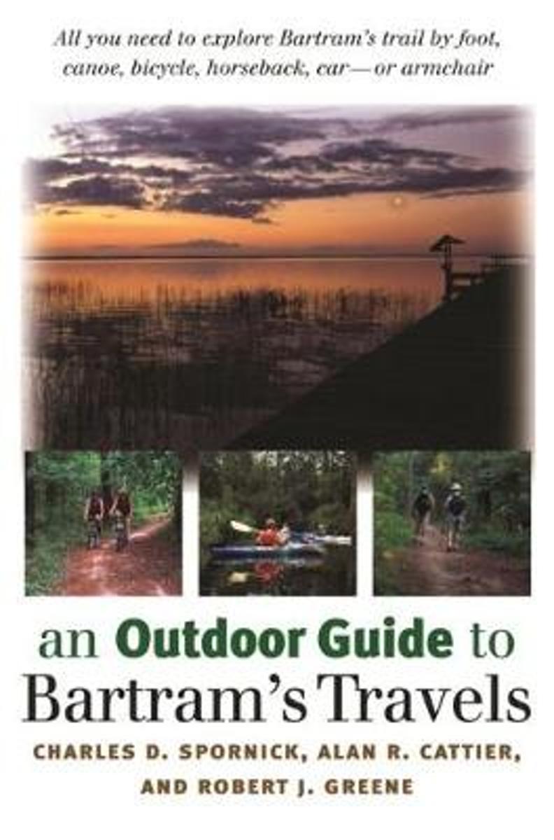
- An Outdoor Guide To Bartram's Travels
- From 1773 to 1777, naturalist William Bartram journeyed through the American South, from the Carolinas to Florida to the Mississippi River. This new book contains all readers need to explore Bartram's trail by foot, canoe, bicycle, horseback, car--or armchair. 68 photos. 74 maps. Leer más
- Also available from:
- Bol.com, Belgium
Bol.com
Belgium
Belgium
- An Outdoor Guide To Bartram's Travels
- From 1773 to 1777, naturalist William Bartram journeyed through the American South, from the Carolinas to Florida to the Mississippi River. This new book contains all readers need to explore Bartram's trail by foot, canoe, bicycle, horseback, car--or armchair. 68 photos. 74 maps. Leer más

Bol.com
Netherlands
Netherlands
- Never Safe, Always Fun!
- Explore the magical, mystical, fragile, and poetic landscape of the Florida Everglades in South Florida. Feel the heat, soak in the water, cleanse in the mud, scratch at the mosquito bites, all from the comfort of your own armchair.Never Safe, Always Fun!, is an armchair travel guide, companion guide, and anecdotal memoir of the Florida... Leer más
- Also available from:
- Bol.com, Belgium
Bol.com
Belgium
Belgium
- Never Safe, Always Fun!
- Explore the magical, mystical, fragile, and poetic landscape of the Florida Everglades in South Florida. Feel the heat, soak in the water, cleanse in the mud, scratch at the mosquito bites, all from the comfort of your own armchair.Never Safe, Always Fun!, is an armchair travel guide, companion guide, and anecdotal memoir of the Florida... Leer más
Bol.com
Netherlands
Netherlands
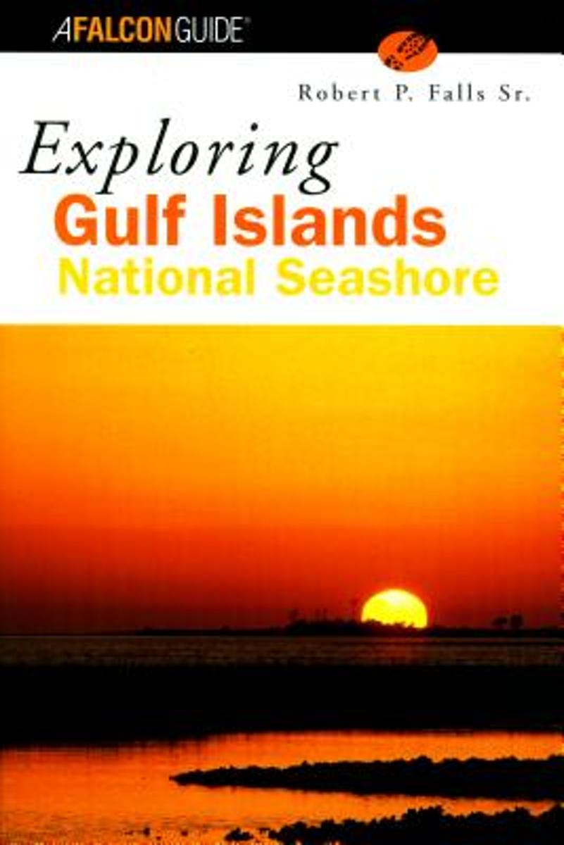
- Exploring Gulf Islands National Seashore
- Explore the 150 miles of colorful coastline of Gulf Islands National Seashore. Stretching from West Ship Island in Mississippi to Santa Rosa Island in Florida, but excluding the Alabama Coast, this park offers various diversions including walking on glorious white sand beaches, hiking on wilderness barrier islands, wildlife watching,... Leer más
- Also available from:
- Bol.com, Belgium
Bol.com
Belgium
Belgium
- Exploring Gulf Islands National Seashore
- Explore the 150 miles of colorful coastline of Gulf Islands National Seashore. Stretching from West Ship Island in Mississippi to Santa Rosa Island in Florida, but excluding the Alabama Coast, this park offers various diversions including walking on glorious white sand beaches, hiking on wilderness barrier islands, wildlife watching,... Leer más
Más libros…

Mapas
Stanfords
United Kingdom
United Kingdom
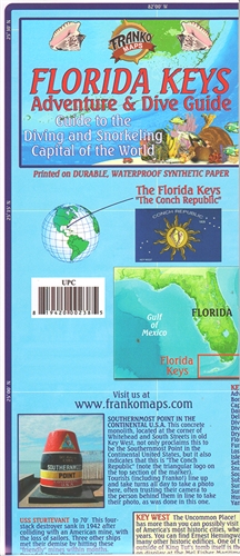
- Florida Keys Adventure & Dive Map-Guide
- Florida Keys on a waterproof and tear-resistant map/guide from Franko Maps, presenting on one side the whole of the Keys, plus on the reverse more detailed enlargements for popular locations, with details of numerous diving sites including ship wrecks, a street plan of Key West, beautiful drawings of local reef creatures, etc.On one side the... Leer más

Stanfords
United Kingdom
United Kingdom
- Reg 8.4 Florida South, Plantation Key to Key West
- Paper atlas with a code for digital charts application.• this Chart Kit is based on NOAA data with a new layout, clear cartography and international chart standards• depths and heights are charted in feet• north up chart orientation• channel markers in red and green• unique color differences, blue for the 6 ft and 18 ft dephts, and green for... Leer más

Stanfords
United Kingdom
United Kingdom
- Orlando Borch
- Very clear, indexed street plan on durable laminated paper showing downtown Orlando at 1:11,000, plus the local attractions of the International Drive area and Disney World. Detail includes one-way streets, notable buildings, hotels, shopping malls and railway lines. Symbols denote information centres, monuments, places of worship, theatres,... Leer más

Stanfords
United Kingdom
United Kingdom
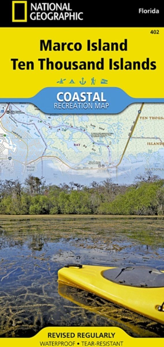
- Marco Island - Ten Thousand Islands FL
- Marco Island - Ten Thousand Islands Coastal Recreation Map at 1:40,000 from the National Geographic in their extensive series of GPS compatible maps of USA’s national and state parks or forests and other popular recreational areas. Cartography based on the national topographic survey, with additional tourist information. Coverage includes... Leer más
- Also available from:
- Bol.com, Netherlands
- Bol.com, Belgium
Bol.com
Netherlands
Netherlands
- Ten Thousand Islands
- Waterproof Tear-Resistant Topographic MapNational Geographic's Marco Island - Ten Thousand Islands Coastal Recreation map is the ideal companion for adventures along shore and on the water.National Geographic's new family of Coastal Recreation maps are two-sided, waterproof maps designed specifically for recreation along America's most... Leer más
Bol.com
Belgium
Belgium
- Ten Thousand Islands
- Waterproof Tear-Resistant Topographic MapNational Geographic's Marco Island - Ten Thousand Islands Coastal Recreation map is the ideal companion for adventures along shore and on the water.National Geographic's new family of Coastal Recreation maps are two-sided, waterproof maps designed specifically for recreation along America's most... Leer más
De Zwerver
Netherlands
Netherlands
- Wegenkaart - landkaart Zuidoost USA - Southeast USA | Borch
- Southeast-USA The South and Florida 1 : 3 000 000. Road Map + City Maps ab 9.9 EURO Southeast-USA, Central Florida, New Orleans & Region, New Orleans French Quarter, Atlanta & Region, Atlanta Downtown, Miami Downtown, South Miami Beach, Miami & Florida Keys Borch Maps. 14. Auflage Leer más
De Zwerver
Netherlands
2009
Netherlands
2009
- Wegenkaart - landkaart Miami and south Florida - Zuid Florida | ITMB
- Miami/S. Florida 1 : 12 500 / 1 : 400 000 ab 10.5 EURO Waterproof International Travel Map ITM Leer más
De Zwerver
Netherlands
Netherlands
- Wegenkaart - landkaart Florida | Freytag & Berndt
- Florida 1 : 500 000 ab 10.9 EURO Touristische Informationen, Entfernungen in Meilen, Citypläne Freytag & Berndt Autokarte. Neuauflage Leer más

De Zwerver
Netherlands
2019
Netherlands
2019
- Wegenkaart - landkaart 10 USA Florida | Reise Know-How Verlag
- Reise Know-How Landkarte USA 10. Florida 1 : 500.000 ab 9.95 EURO Alle Nationalparks, viele Stateparks. Empfehlenswerte Orte. Klassifiziertes Straßennetz. Gradnetz und ausführlicher Ortsindex. GPS-tauglich World Mapping Project Reise Know-How USA. 3. Auflage Leer más
De Zwerver
Netherlands
Netherlands
- Wegenkaart - landkaart Florida | Marco Polo
- MARCO POLO Länderkarte Florida 1:800 000 ab 11.99 EURO Mit Marco Polo Highlights und Zoom System MARCO POLO Länderkarten. 8. Auflage Leer más
De Zwerver
Netherlands
Netherlands
- Wegenkaart - landkaart USA South - Atlantic States | ITMB
- USA South Atlantic States 1 : 1 000 000 ab 8.99 EURO International Travel Map ITM. 1st edition. Leer más
De Zwerver
Netherlands
Netherlands
- Wegenkaart - landkaart Florida | Hildebrand's
- United States Florida 1 : 700 000. Hildebrand´s Road Map ab 7.95 EURO Umgebungskarten: Palm Beach - Miami, Orlando - Cape Canaveral, Tampa - St. Petersburg, Apalachicola - Tallahassee, Pensacola. Stadtpläne: Miami, Orlando, Tampa. Ortsregister Hildebrand´s Urlaubskarte. 16. Auflage Leer más
De Zwerver
Netherlands
Netherlands
- Wegenkaart - landkaart Florida Keys | ITMB
- Florida Keys Travel Reference Map 1 : 120 000 ab 10.49 EURO 4th edition. Leer más
De Zwerver
Netherlands
Netherlands
- Wegenkaart - landkaart USA Florida & Deep South | ITMB
- USA Florida & US Deep South ab 10.49 EURO Maßstab 1 : 720 000 / 1 : 1 000 000 International Travel Map ITM. new edition. Florida: 3rd edition / Deep South: 1st edition 2014 Leer más