
Países Bajos
Descripción

Is hiking possible in the Netherlands? After all, the country is flat as a pancake!
The answer is: Yes. In fact there are over 80 long distance hiking trails crisscrossing the country. The most important are labeled LAW, abbreviation for Lange Afstand Wandelpad (Dutch for Long Distance Hiking Trail). Walking them is a most enjoyable way of exploring Dutch countryside. Meadows grazing cows, sheep and horses, forests, sand dunes and wetlands, and many often centuries old towns along the way. Apart from the LAW's (red-white markings) there are (often) circular regional trails, the SP's (red-yellow markings).
The LAW's and SP's are maintained by Stichting Wandelnet, often in cooperation with the NIVON / Friends of Nature. But there are more organisations marking paths: two sport hiking organisations, the KNBLO (red-blue markings) and the NWB (orange-blue markings). Often, topoguides are issued of these paths. Lastly we must mention the provincial nature conservancy organisations, who set out interesting itineraries for nature lovers.
Recomended LAW's:
- Zuiderzeepad, 400 km, Hollands Golden Age on display.
- Trekvogelpad, 380 km, From West to East, varied trail, gives a good impression of the Netherlands as a whole.
- Maarten van Rossumpad, 308 km, also very varied.
- Wad- en Wierdenpad, 123 km, dykes, polders and vast views in the quiet north east of the country.
- Pieterpad, 492 km, maybe not the most attractive, but by far the most popular trail of the Netherlands.
Best hiking in the Netherlands is in the busy west. The Dutch Green Lung is the big empty space between the main cities The Hague, Amsterdam, Rotterdam and Utrecht. This space, barely known by the Dutch themselves (they rush along in cars), consists of polders, ingenuous waterways, dykes, lakes, and very old villages and farmsteads. The polder landscape can be found in the northern provinces too, or along the river delta. Some patches are very beautiful and you will experience real solitude, others can be boring.
All trails are waymarked, but not always very well. Luckily, there are excellent Dutch guidebooks, with an English section and with maps that show you the correct way. Several LAW's coincide with the European Long Distance Trails E2, E8, E9 and E11.
Enjoying the Netherlands is enjoying the odd encounter with people, villages, buildings, architecture, things happening, and the neat houses and gardens showing off one's high morale. There is also some remoteness in the North and North East. Dutch trails have no difficulties, except the occasional crossing of a busy road or sharing the path with horse-carts and bikers. Keep in mind you're walking on paved roads most of the time, and alternatively grassy, often wet dykes. Therefore, light waterproof shoes are best. Along most routes you will find camping sites, B&B's, shops and public transport in almost every village.
Mapa


Senderos
- Achterhoekpad
- Airbornepad Market GardenGPX
- AlmerepadGPX
- Bevrijdingspad
- Brabants GrensdijkjespadGPX
- Brabants VennenpadGPX
- Brabantse WalGPX
- DeltapadGPX
- Dordtse Waardroute
- Drenthelaarspad
- DrenthepadGPX
- Duin- en PolderpadGPX
- Duinweg Rondwandeling
- E11GPX
- E2GPX
- E8GPX
- E9GPX
- Elfbekenpad
- Elfbergenpad
- Elfwegenpad
- Flevopad
- Floris V-padGPX
- Friese KustpadGPX
- Friese WoudenpadGPX
- Friese Woudweg
- Geert Grootepad
- GR12 - Amsterdam - ParisGPX
- GR122 - ScheldelandGPX
- GR5GPX
- GR561 - Kempen-MaaspadGPX
- GR565 - Renier SniederspadGPX
- Graaf van Hornepad
- GraafschapspadGPX
- GrebbeliniepadGPX
- GrenslandpadGPX
- Groene HartpadGPX
- Groene WisselGPX
- Groot-FrieslandpadGPX
- Grote RivierenpadGPX
- Handelsweg
- HanzestedenpadGPX
- Heerlijkheidspad
- Hertog HendrikpadGPX
- HertogenpadGPX
- Hollands KustpadGPX
- Hunze en Fivelpad
- Hunzepad
- IJsselweg
- JabikspaadGPX
- Jac. Gazenbeekweg
- JacobspadGPX
- Jacobspad LimburgGPX
- Jacobsweg Amstelredam
- Jacobsweg Amsvorde
- Jacobsweg Audenzeel
- Jacobsweg Die Haghe
- Jacobsweg Nieumeghen
- Jacobsweg Thuredrecht
- Jagerspad
- KempenGPX
- Kempen-BroekGPX
- KlompenpadenGPX
- KloosterpadGPX
- Koninklijke WegGPX
- KrijtlandpadGPX
- Kuierpaad Fryslân
- LingepadGPX
- Loop van de Drentsche Aa
- Loop van de Reest
- Loop van het Oude Diep
- Maarten van RossumpadGPX
- Maas- en PeelliniepadGPX
- Maas-NiederrheinpadGPX
- MaasduinenGPX
- MarskramerpadGPX
- Napoleonspad
- Nederlands KustpadGPX
- NoaberpadGPX
- Noord-HollandpadGPX
- North Sea TrailGPX
- NS WandeltochtenGPX
- OeverloperpadGPX
- Omringdijk WandelrouteGPX
- Omringdijkpad
- OosterscheldepadGPX
- Oude IJssel-Rijnpad
- Overijssels HavezatenpadGPX
- Peellandpad
- PelgrimspadGPX
- PieterpadGPX
- PionierspadGPX
- Reggepad & Dinkelpad
- ReynaertlandGPX
- Rijndeltapad
- Romeinse LimespadGPX
- Rondom Berg en Bosch
- Rondom de DomGPX
- Rondom de Groene Bedstee
- Rondom de Sint JanGPX
- Sallandspad
- Santiago de Compostela Pilgrims WayGPX
- ScholtenpadGPX
- Stelling van AmsterdamGPX
- Stichtse Dorpenpad
- Streekpad NijmegenGPX
- TexelpadGPX
- Tielerwaard Wandelroute
- TrekvogelpadGPX
- TwentepadGPX
- UilenspiegelpadGPX
- UtrechtpadGPX
- Van Wad tot IJ
- VechtdalpadGPX
- Veluwe ZwerfpadGPX
- Veluweweg
- Via BrabanticaGPX
- Via MonasticaGPX
- VisserpadGPX
- Wad- en WierdenpadGPX
- Walcherenroute
- WaterliniepadGPX
- Watersnoodpad
- WesterborkpadGPX
- Willebrordus Wandelpad
- WillibrorduswandelpadGPX
- Zuid-Hollandse Polderroute
- Zuid-Limburg Wandelroute
- ZuiderzeepadGPX
Regiones
Estados


Enlaces
Datos
Informes
Guías y mapas
Hospedaje
Organizaciones
Operadores turísticos
GPS
Otro
Libros
Netherlands
2009
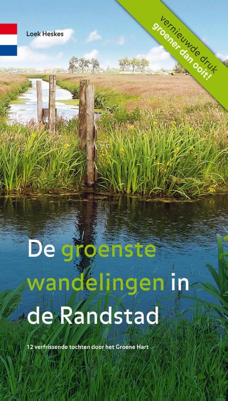
- Wandelgids De groenste wandelingen in de Randstad | Gegarandeerd Onregelmatig
- De Groenste Wandelingen in de Randstad van LoeK Heskes van uitgeverij Gegarandeerd Onregelmatig is een aanwinst! In deze wandelgids staan twaalf echt nieuwe, nog niet eerder uitgezette, wandelroutes in het Groene Hart van Zuid-Holland. Bovendien zijn de routebeschrijvingen zorgvuldig en worden ze ondersteund met topografische kaarten van de... Leer más
Netherlands
2014
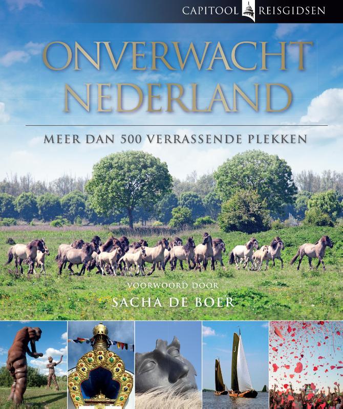
- Reisgids Capitool Reisgidsen Onverwacht Nederland | Unieboek
- Ontdek de verrassende kant van Nederland Met een voorwoord van Sacha de Boer Ontdek de verrassende kant van Nederland Ga op ontdekkingstocht in Nederland en laat je verrassen door de vele bijzondere plekken en bezienswaardigheden die ons land te bieden heeft. Het onverwachte van deze uitgave van Capitool Reisgidsen is dat juist de minder... Leer más
Netherlands
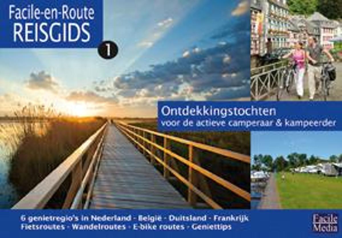
- Facile-en-route
- In dit gidsje worden zes gebieden beschreven waarbij het accent ligt op actief camperen n kamperen. De gids bevat wandel- en fietsroutes, bezienswaardigheden, uitgaanstips en uiteraard campings en camperplaatsen. Leer más
- Also available from:
- Bol.com, Belgium
Belgium
- Facile-en-route
- In dit gidsje worden zes gebieden beschreven waarbij het accent ligt op actief camperen n kamperen. De gids bevat wandel- en fietsroutes, bezienswaardigheden, uitgaanstips en uiteraard campings en camperplaatsen. Leer más
Netherlands
2014
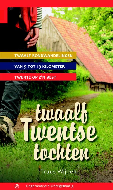
- Wandelgids Twaalf Twentse tochten | Gegarandeerd Onregelmatig
- In twaalf rondwandelingen laat Truus Wijnen Twente 'op z'n best' zien. En wat ze daarmee bedoelt is zichtbaar op de prachtige foto's die ze onderweg maakt en die deze gids tot één grote lofzang op Twente maken. De rondwandelingen zijn verspreid over heel Twente en geven een goed beeld van de vele aspecten van 'het land... Leer más
Netherlands
2017
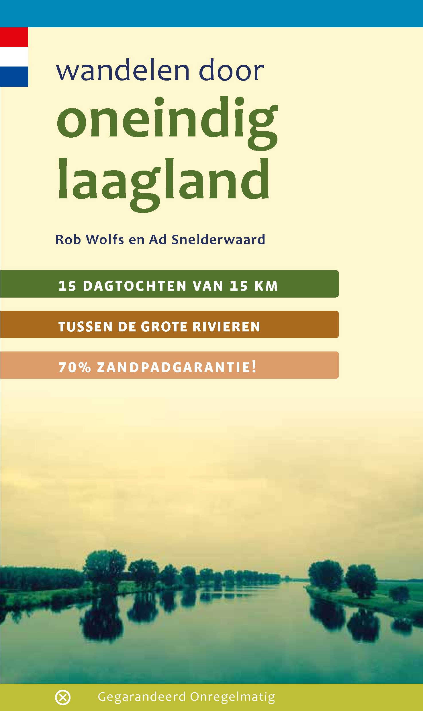
- Wandelgids Oneindig laagland | Gegarandeerd Onregelmatig
- Hoe komt het toch dat Neêrlands rivieren onze dichters en kunstenaars zo inspireren? Wandelauteurs Rob Wolfs en Ad Snelderwaard probeerden daar achter te komen in 15 - inderdaad zeer inspirerende - wandelingen. Ze trokken door Marsmans oneindig laagland, liepen langs rijen ondenkbaar ijle populieren en zagen de - in de geweldige ruimte... Leer más
Netherlands
2018
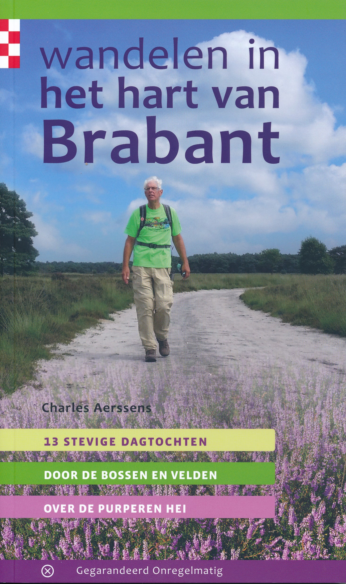
- Wandelgids Wandelen in het hart van Brabant | Gegarandeerd Onregelmatig
- Goede wandelgids met veel informatie, goede beschrijvingen en uitstekende topografische kaarten met de route keurig ingetekend. Wat is het precies waarover de Havenzangers hun loftrompet staken toen ze het goede leven in het Brabantse land bezongen? Wandelauteur Charles Aerssens leidt ons aan de hand van 13 wandelingen door het hart van... Leer más
Netherlands
2015
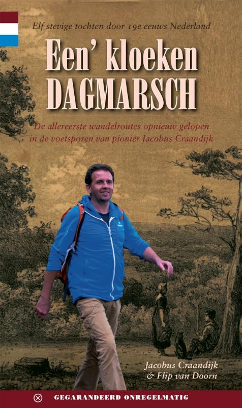
- Wandelgids Een' kloeken dagmarsch | Gegarandeerd Onregelmatig
- Jacobus Craandijk (1834-1912) was de eerste wandelaar die vrijwel heel Nederland te voet doorkruiste en daar uitgebreid verslag van deed. De acht delen van zijn Wandelingen door Nederland met pen en potlood vormen een standaardwerk waar wandelauteurs tot op de dag van vandaag uit citeren. Craandijk preekte voor de doopsgezinde gemeenten van... Leer más
Netherlands
2017
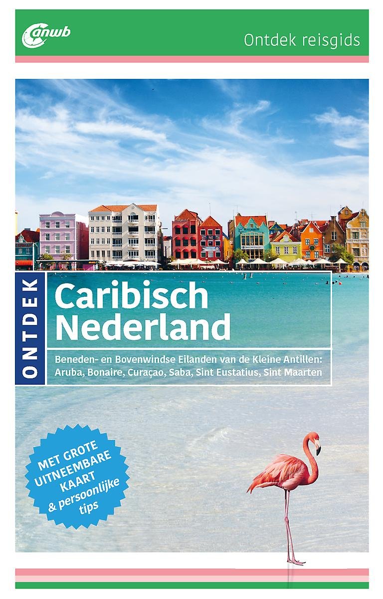
- ANWB Ontdek reisgids - Caribisch Nederland
- ANWB Ontdek reisgids Caribisch NederlandVerken het Caribisch gebied op een andere manier met de uitgebreide ANWB Ontdek reisgids Caribisch Nederland! Natuurlijk mag je bezienswaardigheden zoals de bewegende brug op Curaçao en de goudmijnruïnes op Aruba nietmissen, maar ga ook eens van de gebaande paden en geniet van de spectaculaire... Leer más
- Also available from:
- Bol.com, Belgium
Belgium
2017
- ANWB Ontdek reisgids - Caribisch Nederland
- ANWB Ontdek reisgids Caribisch NederlandVerken het Caribisch gebied op een andere manier met de uitgebreide ANWB Ontdek reisgids Caribisch Nederland! Natuurlijk mag je bezienswaardigheden zoals de bewegende brug op Curaçao en de goudmijnruïnes op Aruba nietmissen, maar ga ook eens van de gebaande paden en geniet van de spectaculaire... Leer más
Netherlands
2018
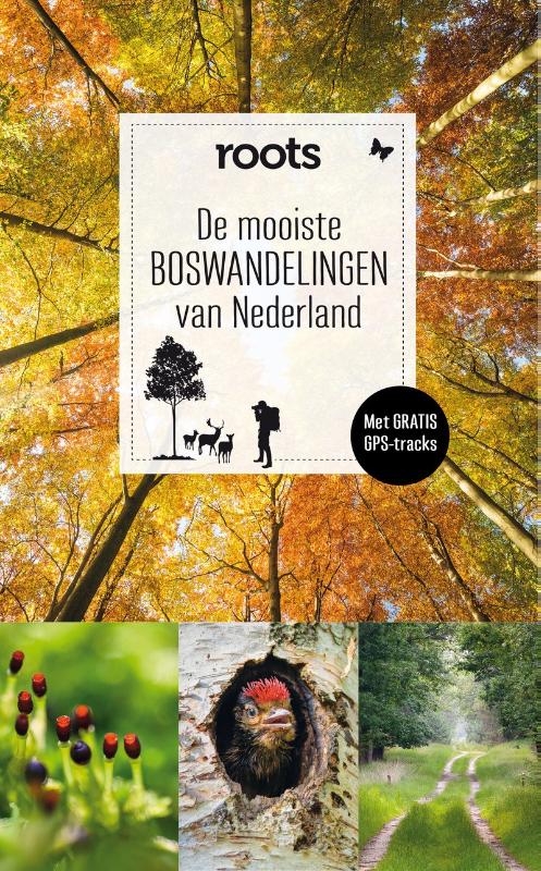
- Wandelgids De mooiste boswandelingen van Nederland | Fontaine Uitgevers
- Een boswandeling is niet alleen gezond (wetenschappelijk bewezen!), het is ook in elk seizoen verrassend. In de lente ontluiken de beuken, eiken en berken en hoor je bosvogels zingen. ’s Zomers bieden bossen koelte en schaduw, en in de herfst zijn er volop paddenstoelen en herfstkleuren. En ’s winters kun je tussen de kale bomen eenvoudig... Leer más
Netherlands
2015
- Wandelgids Filosofische wandelingen door de natuur | KNNV Uitgeverij
- een denkgids voor binnen en buiten Leer más
Netherlands
- Bijbels reisdagboek Israël
- Een bijzondere aanvulling op uw Isra�lreisgids.Isra�l is het land waar de Bijbel is ontstaan. Een bezoek aan de bekende plaatsen in het joodse land krijgt daarom meer diepte wanneer op die plaatsen de Bijbel opengaat. Om de Isra�lreiziger hierbij te helpen, schreef ds. W.S. Duvekot een dagboek voor 21 dagen in Isra�l. In deze 21 dagen bespreekt... Leer más
- Also available from:
- Bol.com, Belgium
Belgium
- Bijbels reisdagboek Israël
- Een bijzondere aanvulling op uw Isra�lreisgids.Isra�l is het land waar de Bijbel is ontstaan. Een bezoek aan de bekende plaatsen in het joodse land krijgt daarom meer diepte wanneer op die plaatsen de Bijbel opengaat. Om de Isra�lreiziger hierbij te helpen, schreef ds. W.S. Duvekot een dagboek voor 21 dagen in Isra�l. In deze 21 dagen bespreekt... Leer más
Mapas

United Kingdom
2010
- Gelderse Valley
- Gelderse Valley on a waterproof, tear-resistant, GPS compatible walking map at 1:25,000 from Trage Paden, in a series of maps with extensive overprint for long-distance and local walking routes. GPS waypoints and route profiles are available for download from the publisher’s website.Contours used in this map series vary between 2,5 to 5m... Leer más

United Kingdom
- Rijk van Nijmegen
- Rijk van Nijmegen area of the Netherlands in a series of walking and cycling maps at 1:25,000 – 1:35,000, published by Falk BV in cooperation with Staatsbosbeheer – Dutch government’s organization for forestry and the management of nature reserves.Colouring indicates different types of vegetation or terrain: woodland, pastures, heath or sand... Leer más

United Kingdom
- Brabant West and Central Cycling Map
- The central and western part of the North Brabant Province of the Netherlands at 1:50,000 in a series from Falk B.V. showing the network of signposted cycling routes on large, double-sided indexed maps with prominent highlighting of long-distance LF routes, symbols indicating accommodation and other tourist services, plus in each title two or... Leer más
United Kingdom
- Schouwen Duiveland
- Schouwen Duiveland area of the Netherlands in a series of walking and cycling maps at 1:25,000 – 1:35,000, published by Falk BV in cooperation with Staatsbosbeheer – Dutch government’s organization for forestry and the management of nature reserves.Colouring indicates different types of vegetation or terrain: woodland, pastures, heath or sand... Leer más

United Kingdom
- North Holland - with Kennemerland Falkplan Cycling Map 13
- North Holland Province of the Netherlands at 1:50,000 in a series from Falk B.V. showing the network of signposted cycling routes on large, double-sided indexed maps with prominent highlighting of long-distance LF routes, symbols indicating accommodation and other tourist services, plus in each title two or more panels with recommended local... Leer más
United Kingdom
- Kempenland - de Meijerij Falkplan Cycling Map 18
- Kempenland region of the Netherlands at 1:50,000 in a series from Falk B.V. showing the network of signposted cycling routes on large, double-sided indexed maps with prominent highlighting of long-distance LF routes, symbols indicating accommodation and other tourist services, plus in each title two or more panels with recommended local... Leer más

United Kingdom
- Het Groene Woud
- “Het Groene Woud” map in 1:25,000 belong to a series of eleven walking from Falk, which cover the most beautiful hiking areas in four regions: North Brabant in the south, the tip of North Holland, Friesland and Groningen in the north of the country.“Het Groene Woud” (the green forest) map covers an area of approximately 26 x 16 km in North... Leer más
United Kingdom
- Dunes of the Central Holland 22
- The Dunes of the Central Holland Province of the Netherlands in a series of walking and cycling maps at 1:25,000 – 1:35,000, published by Falk BV in cooperation with Staatsbosbeheer – Dutch government’s organization for forestry and the management of nature reserves.Colouring indicates different types of vegetation or terrain: woodland,... Leer más
United Kingdom
- Lauwersmeer
- Lauwersmeer area Friesland in the Netherlands in a series of walking and cycling maps at 1:25,000 – 1:35,000, published by Falk BV in cooperation with Staatsbosbeheer – Dutch government’s organization for forestry and the management of nature reserves.Colouring indicates different types of vegetation or terrain: woodland, pastures, heath or... Leer más
United Kingdom
- De Peel
- De Peel area of the Netherlands in a series of walking and cycling maps at 1:25,000 – 1:35,000, published by Falk BV in cooperation with Staatsbosbeheer – Dutch government’s organization for forestry and the management of nature reserves.Colouring indicates different types of vegetation or terrain: woodland, pastures, heath or sand dunes. Given... Leer más

United Kingdom
- Belgian Coast - Bruges Cycling Map 30
- The coast of Belgium at 1:50,000 in a series from Falk B.V. showing the network of signposted cycling routes on large, double-sided indexed maps with prominent highlighting of long-distance LF routes, symbols indicating accommodation and other tourist services, plus in each title two or more panels with recommended local circuits and additional... Leer más
United Kingdom
- South-Holland North - Green Heart West and Bollenstreek Falkplan Cycling Map 14
- The northern part of the South Holland Province of the Netherlands at 1:50,000 in a series from Falk B.V. showing the network of signposted cycling routes on large, double-sided indexed maps with prominent highlighting of long-distance LF routes, symbols indicating accommodation and other tourist services, plus in each title two or more panels... Leer más
United Kingdom
- De Biesbosch
- De Biesbosch area of the Netherlands in a series of walking and cycling maps at 1:25,000 – 1:35,000, published by Falk BV in cooperation with Staatsbosbeheer – Dutch government’s organization for forestry and the management of nature reserves.Colouring indicates different types of vegetation or terrain: woodland, pastures, heath or sand dunes.... Leer más
United Kingdom
- Dwingelderveld - Ruinen
- Dwingelderveld - Ruinen area of the Netherlands in a series of walking and cycling maps at 1:25,000 – 1:35,000, published by Falk BV in cooperation with Staatsbosbeheer – Dutch government’s organization for forestry and the management of nature reserves.Colouring indicates different types of vegetation or terrain: woodland, pastures, heath or... Leer más
United Kingdom
- Meinweg - Leudal
- Meinweg - Leudal area of the Netherlands in a series of walking and cycling maps at 1:25,000 – 1:35,000, published by Falk BV in cooperation with Staatsbosbeheer – Dutch government’s organization for forestry and the management of nature reserves.Colouring indicates different types of vegetation or terrain: woodland, pastures, heath or sand... Leer más