GR441 - Chaîne des Puys
Descripción
- Name GR441 - Chaîne des Puys (GR441)
- Inicio de sendero Volvic
- Fin de sendero Volvic
- Clasificación Traildino MW, Caminata moderada, sendero de mochileros
- Clasificación Travesía de refugios T1, Caminata
Enlaces
Datos
Informes
Guías y mapas
Hospedaje
Organizaciones
Operadores turísticos
GPS
Otro
Libros

Stanfords
United Kingdom
2018
United Kingdom
2018
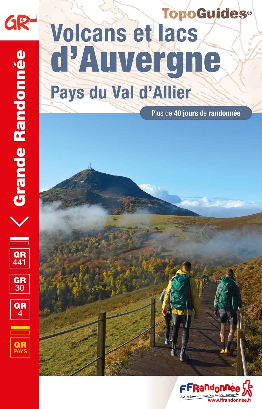
- Volcans et lacs d`Auvergne - Pays du Val d`Allier GR30/GR41
- Volcans et lacs d`Auvergne, FFRP topoguide Ref. no. 305, covering in all 886km of hiking trails across the volcanic landscape of the Auvergne west and south of Clermont-Ferrand, including sections of GR 30 and GR41. Current edition of this title was published in June 2014.ABOUT THE FFRP (Fédération française de la randonnée pédestre)... Leer más

- Also available from:
- De Zwerver, Netherlands

Stanfords
United Kingdom
2013
United Kingdom
2013
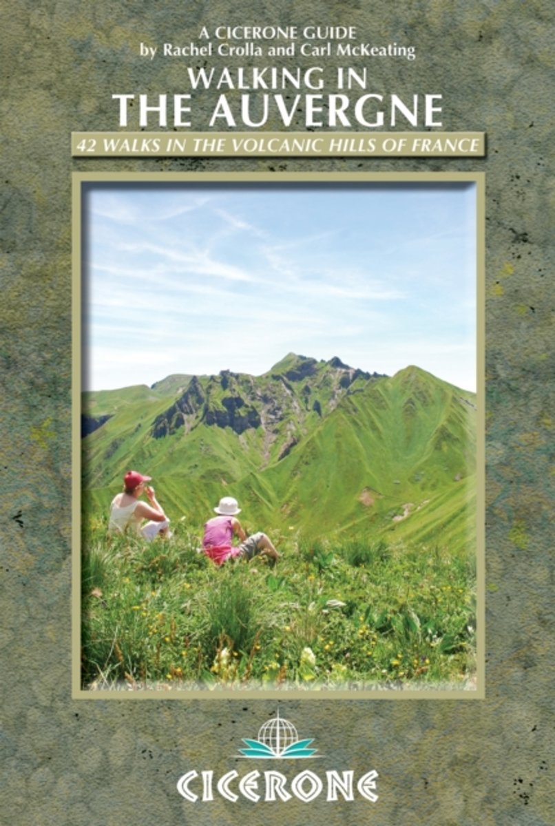
- Auvergne Walking Guide
- Rachel Crolla and Carl McKeating’s Cicerone guide to Walking in the Auvergne illustrates 42 walks in the volcanic hills of France covering the Puy de Dôme, Cantal and Haute-Loire regions and featuring detailed instructions, clear sketch maps and colour photographs.The book covers the area from Vichy in the north to Le Puy-en-Velay in the... Leer más
- Also available from:
- The Book Depository, United Kingdom
- Bol.com, Netherlands
- Bol.com, Belgium
- De Zwerver, Netherlands

The Book Depository
United Kingdom
2013
United Kingdom
2013
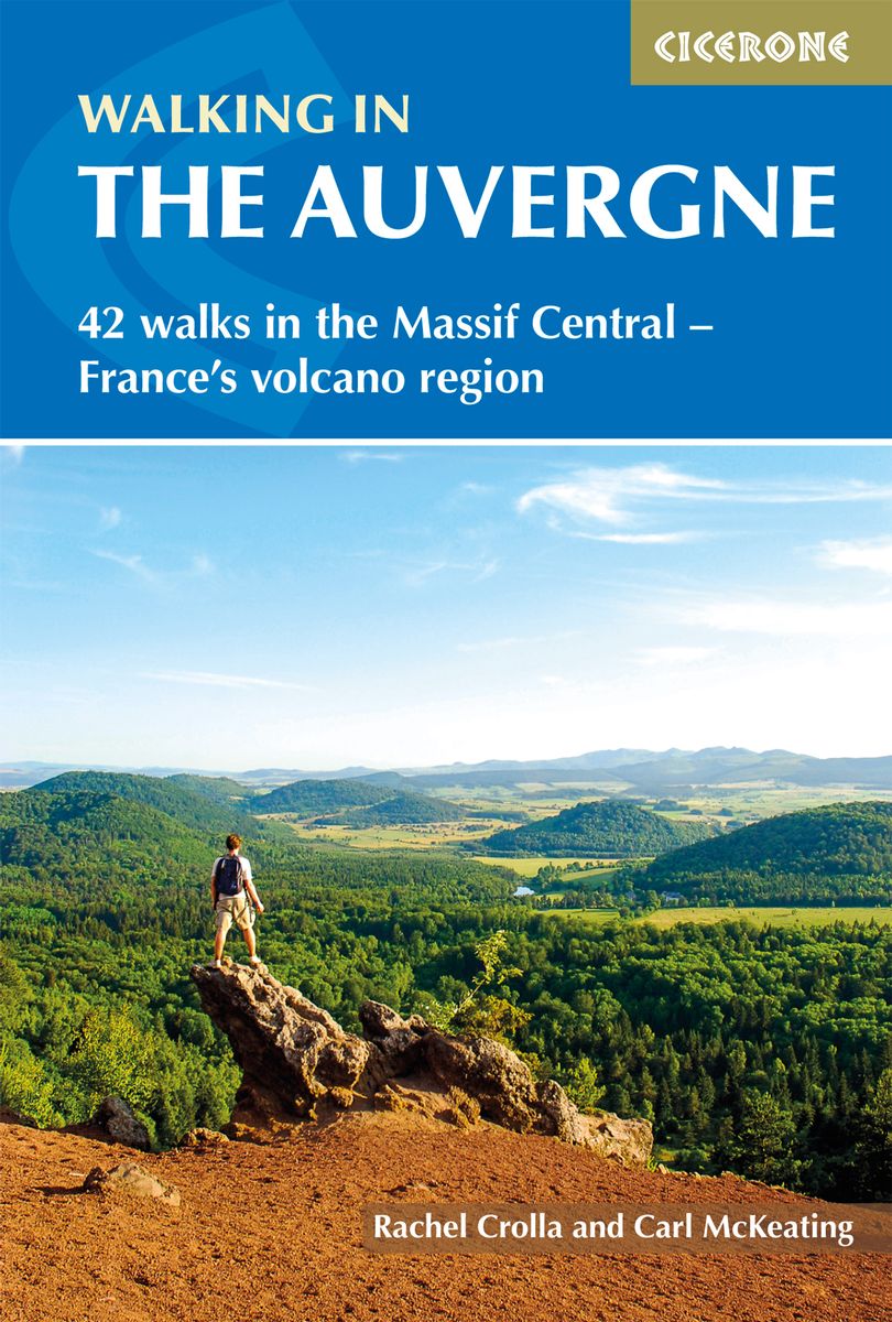
- Walking in the Auvergne
- 42 Walks in the Massif Central - France's volcano region Leer más
Bol.com
Netherlands
2013
Netherlands
2013
- Walking in the Auvergne
- This walking guidebook describes 42 day routes exploring the stunning Auvergne region in central France. The walks are ideal for day walkers and hikers, with routes ranging from easy 5km outings to more challenging 20km hikes. All are illustrated with clear mapping and colour photographs. The guide focuses on the best routes in five different... Leer más
Bol.com
Belgium
2013
Belgium
2013
- Walking in the Auvergne
- This walking guidebook describes 42 day routes exploring the stunning Auvergne region in central France. The walks are ideal for day walkers and hikers, with routes ranging from easy 5km outings to more challenging 20km hikes. All are illustrated with clear mapping and colour photographs. The guide focuses on the best routes in five different... Leer más
De Zwerver
Netherlands
2020
Netherlands
2020
- Wandelgids Walking in the Auvergne | Cicerone
- Guidebook to the Auvergne describing 42 walks between 5 and 20km in the quiet volcanic hills of central France. Five areas are covered: Cantal, Chaine des Puys, Mont Dores, Haute-Loire and Montagne Bourbonnaise. The volcanic geography provides a stunning backdrop to routes suitable for all walkers. Bases in Vichy, Clermont-Ferrand and Puy-en-Velay. Leer más
Mapas

Stanfords
United Kingdom
United Kingdom
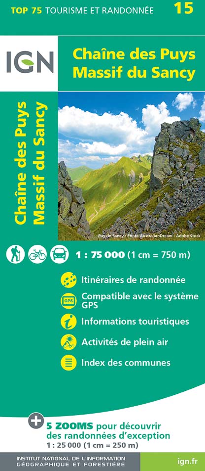
- Chaîne des Puys - Massif du Sancy IGN 75015
- Chaîne des Puys - Massif du Sancy region in a series of GPS compatible, contoured TOP 75 maps at 1:75,000 from the IGN, highlighting local and long-distance hiking paths, cycling routes and sites for other recreational activities. The map includes five large panels showing the areas around la Banne d’ Ordanche between La Bourboule and... Leer más

Stanfords
United Kingdom
United Kingdom
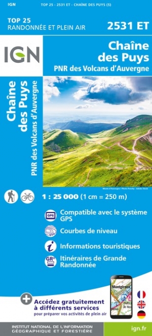
- Chaine des Puys - PNR des Volcans d`Auvergne IGN 2531ET
- Between 2014 and 2019, the IGN renewed its entire Serie Bleue collection.A new map for optimal readability, with better geometric precision and enriched tourist information.A new format twice as large: the format of the new Serie Bleue is equivalent to that of the Top 25 and the number of references will thus be divided by 2.For most maps, the... Leer más
- Also available from:
- The Book Depository, United Kingdom
- De Zwerver, Netherlands

Más mapas…